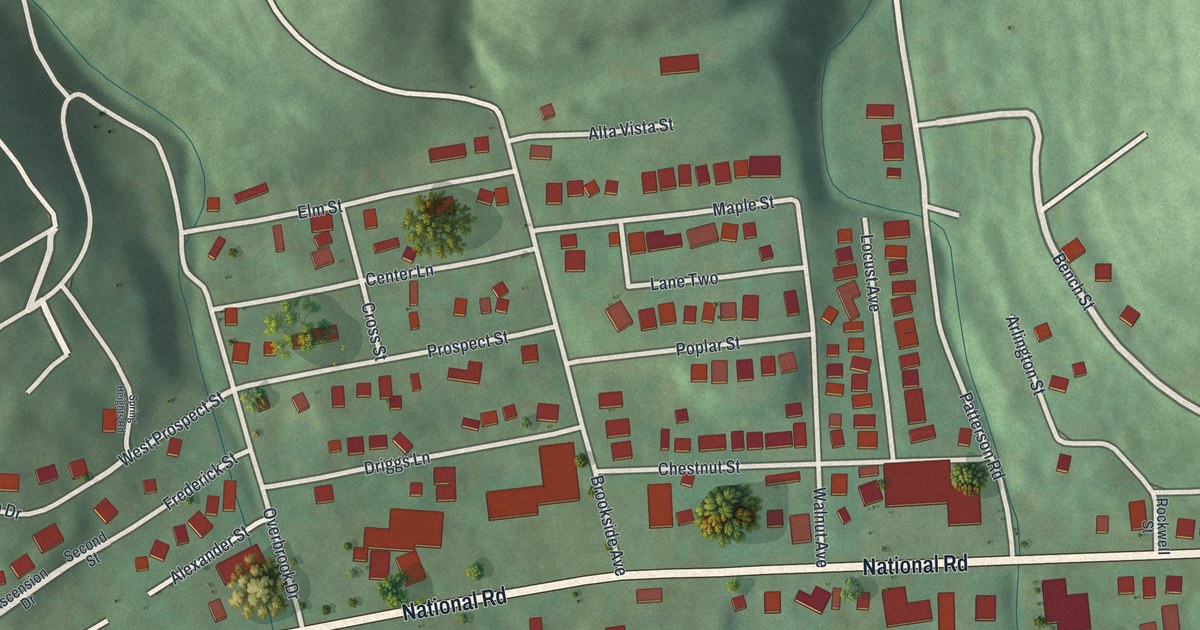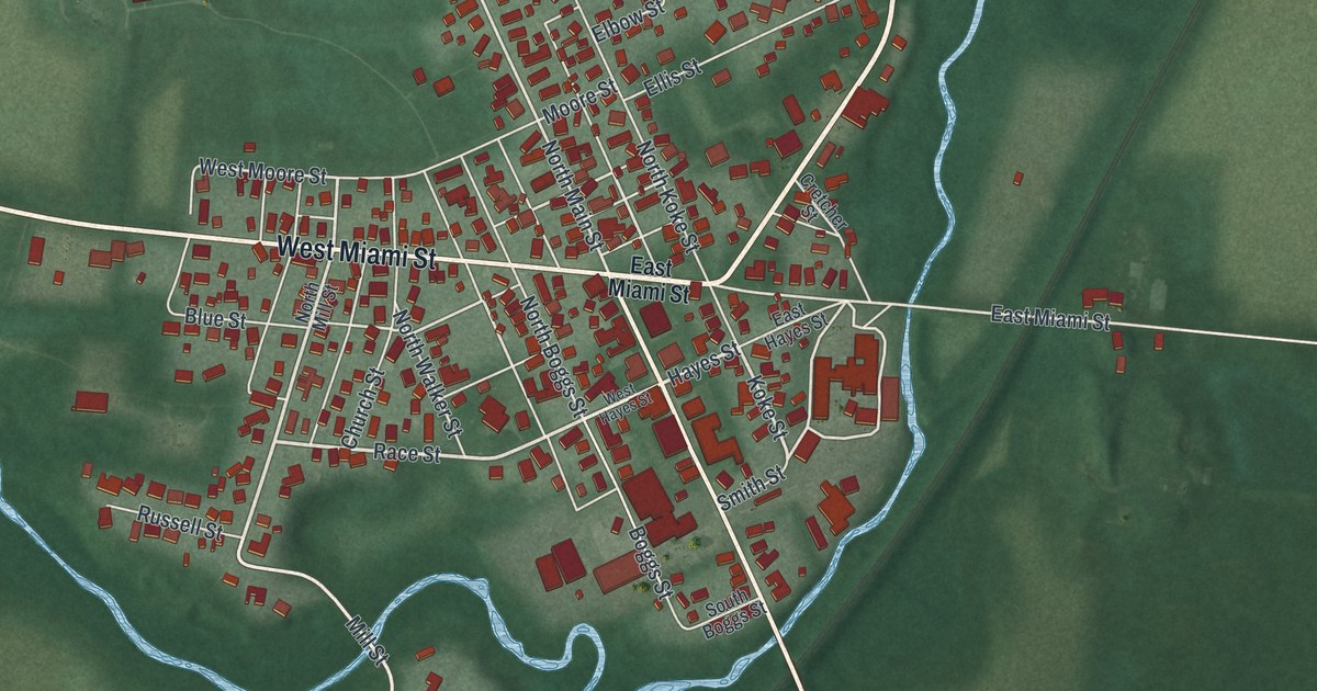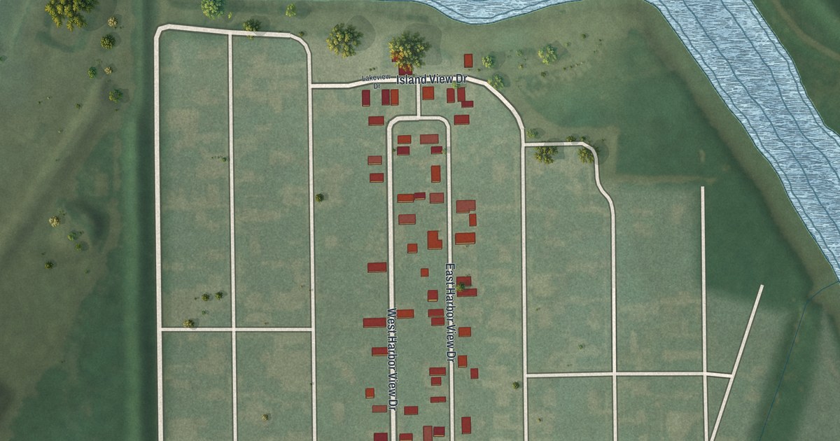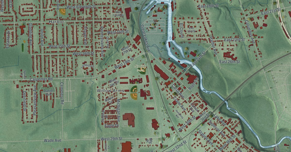
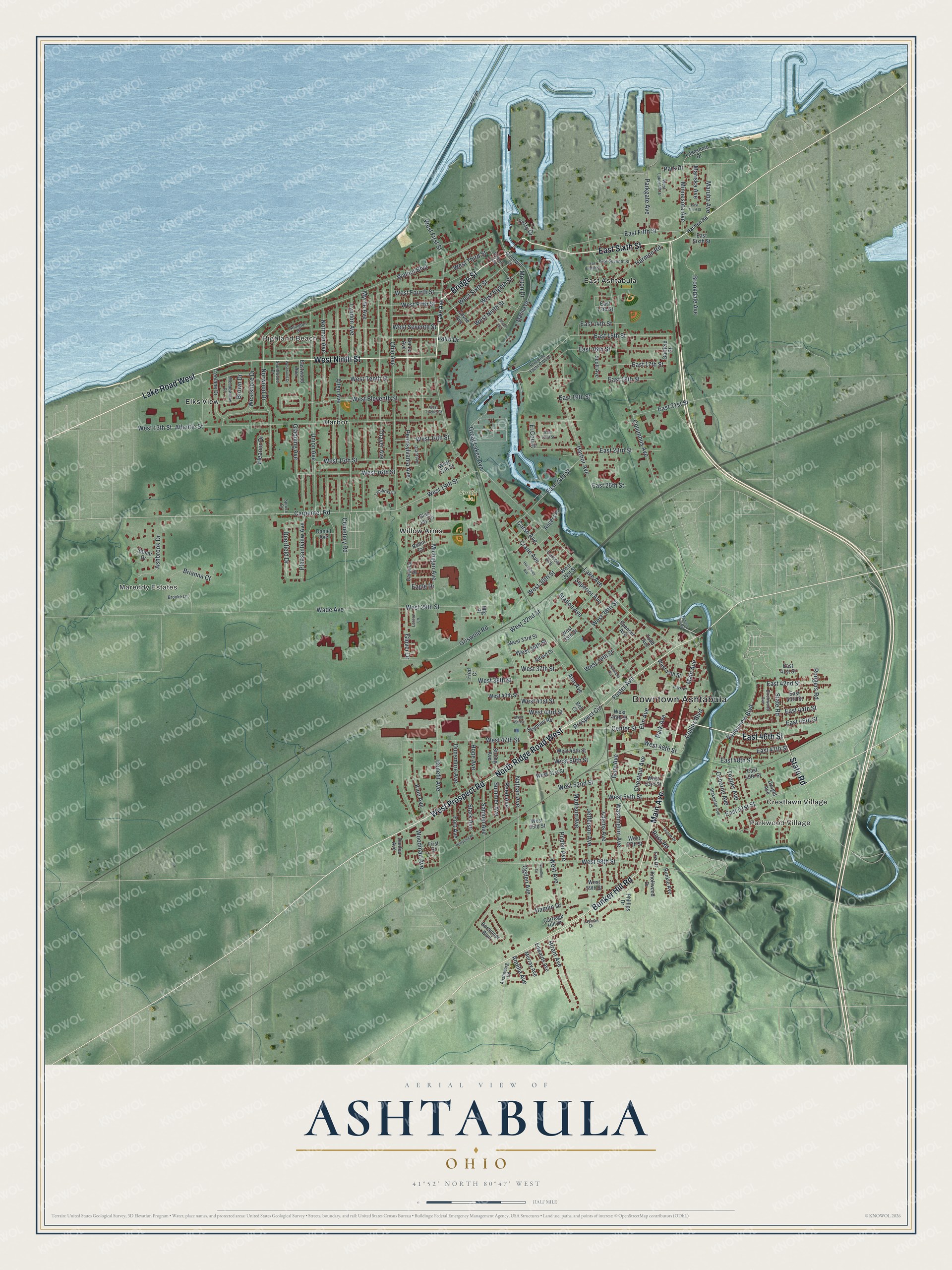
This beautifully detailed map of Ashtabula, Ohio was created in 2026 using aerial imagery combined with modern topographical, census, street and landmark data. It’s a one-of-a-kind view of Ashtabula that combines accurate data with a vintage aesthetic. The map shows every building in its true location, many of the roads carry their names, and the shaded topographic relief shows the shape of the land.
Explore an aerial view of Ashtabula, Ohio
On the map you’ll find Downtown Ashtabula, Parkwood Village, Mareddy Estates, Highland Beach, Smith Park, Crestlawn Village, East Ashtabula, Elks View, Harbor, and Willow Arms, along with East 46th Street, State Road, and more. If you look closely you can even find your house accurately drawn in its correct location. Zoom in on the preview to look for yours.
Did you know this piece of Ashtabula, Ohio history?
Before the Civil War, Ashtabula had several stops on the Underground Railroad. Freedom seekers hid in the basement of Hubbard House beside Lake Erie. From there they took boats to Canada and became free once they reached Ontario. Today the home is on the National Register.
Take a closer look at the Ashtabula map
Street and place names on the Ashtabula, Ohio map
These names are printed on the map of Ashtabula, Ohio.
Places: Downtown Ashtabula, Parkwood Village, Mareddy Estates, Highland Beach, Smith Park, Crestlawn Village, East Ashtabula, Elks View, Harbor and Willow Arms.
Streets and roads: East 46th Street, State Road, West Ninth Street, Bridge Street, Lake Road West, East Sixth Street, Main Avenue, Bunker Hill Road, West Prospect Road, North Ridge Road West, East 51st Street, West 58th Street.
More street names, A to Z
Adams Avenue, Alfred Drive, Allen Avenue, Amelia Avenue, Ann Avenue, Arlington Drive, Ashbrook Drive, Atlantic Street, Austinburg Road, Bardmoor Boulevard, Bell Court, Benefit Avenue, Birchwood Avenue, Blakeslee Avenue, Blue Jay Circle, Brianna Court, Brookdale Avenue, Brooke Lane, Brown Drive, Cardinal Drive, Carpenter Road, Carriage Hill Drive, Carso Avenue, Carson Avenue, Cemetery Road, Center Street, Chestnut Avenue, Cleveland Avenue, Collins Boulevard, Columbus Avenue, Coyne Avenue, Crane Avenue, Daniel Avenue, Deerfield Drive, Dunbar Avenue, Dunsmore Avenue, Dwight Avenue, Eagle Drive, East 13th Street, East 14th Street, East 15th Street, East 16th Street, East 17th Street, East 18th Street, East 19th Street, East 21st Street, East 22nd Street, East 23rd Street, East 24th Street, East 26th Street, East 41st Street, East 42nd Street, East 43rd Street, East 44th Street, East 45th Street, East 47th Street, East 48th Street, East 49th Street, East Eighth Street, East Fifth Street, East Seventh Street, East Third Street, Eastwood Avenue, Edwards Avenue, El Courtt, Eleanor Drive, Elm Avenue, Ferry Drive, First Street, Fort Avenue, Foster Avenue, Fox Drive, Fred Court, Garfield Street, Gary Avenue, Gladding Avenue, Glover Drive, Goodwill Drive, Grant Avenue, Great Lakes Avenue, Griswold Road, Grove Drive, Hamlin Drive, Harbor Avenue, Harmon Road, Hiram Avenue, Hope Avenue, Hulbert Avenue, Humphrey Avenue, Jefferson Avenue, Joseph Avenue, Kain Avenue, Knollwood Drive, Laird Drive, Lake Avenue, Lakeshore Drive, Lambros Lane, Larson Lane, Layman Drive, Lyndon Avenue, Madison Avenue, Marina Drive, Mariska Avenue, Maruba Avenue, Meadowlane Drive, Mfg Place, Michigan Avenue, Minnesota Avenue, Morton Drive, Murray Avenue, Myrtle Avenue, Nathan Avenue, Norman Avenue, Norwood Drive, Ogden Avenue, Ohio Avenue, Osborne Avenue, Park Avenue, Park Drive, Parkgate Avenue, Park Place, Penna Avenue, Pennsylvania Avenue, Perryville Place, Phillips Drive, Pleasantview Avenue, Poplar Avenue, Prospect Circle, Reed Avenue, Riverside Yacht Club Drive, Robin Circle, Rodgers Road, Rogers Place, Ross Road, Runkle Avenue, Samar Drive, Samuel Avenue, Scott Avenue, Seymour Road, Southwood Drive, Spencer Avenue, Spruce Drive, Stark Avenue, Station Avenue, Strong Avenue, Summer Avenue, Superior Avenue, Tannery Hill Road, Thayer Avenue, Todd Avenue, Topper Avenue, Treelane Drive, Union Avenue, Valleyview Boulevard, Wade Avenue, Walnut Boulevard, Washington Avenue, West 13th Street, West 14th Street, West 15th Street, West 16th Street, West 17th Street, West 19th Street, West 29th Street, West 30th Street, West 31st Street, West 32nd Street, West 33rd Street, West 34th Street, West 35th Street, West 36th Street, West 37th Street, West 38th Street, West 39th Street, West 40th Street, West 41st Street, West 43rd Street, West 43th Street, West 45th Street, West 46th Street, West 47th Street, West 48th Street, West 49th Street, West 50th Street, West 51st Street, West 52nd Street, West 53rd Street, West 54th Street, West 55th Street, West 57th Street, West 59th Street, West Avenue, West Eighth Street, West Eleventh Street, West Fifth Street, West First Street, West Fourth Street, West Lakecliff Drive, West Seventh Street, Westshore Drive, West Sixth Street, West Tenth Street, West Third Street, West Twelfth Street, Westwood Drive, Woodley Court, Woodman Avenue.
See the Ashtabula, Ohio map on a wall
The Ashtabula map as an 18 x 24 inch print in a black frame.

This beautifully detailed map of Ashtabula makes an attractive addition to your office, library, or den, and it can even be used to teach children the geography and history of the area. It also makes a great gift for anyone who grew up in Ashtabula or moved away. When you’re done exploring, click here to get your copy of the Ashtabula map.