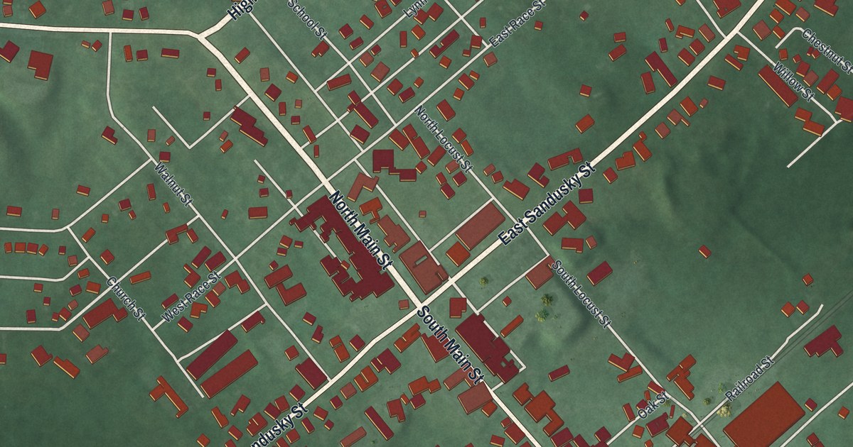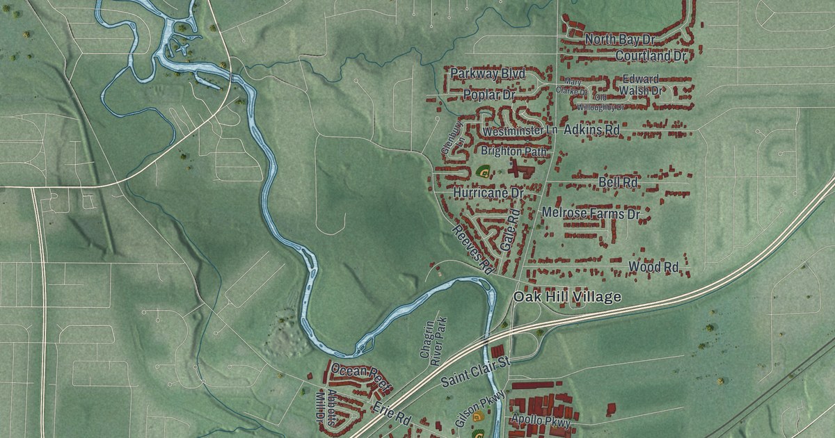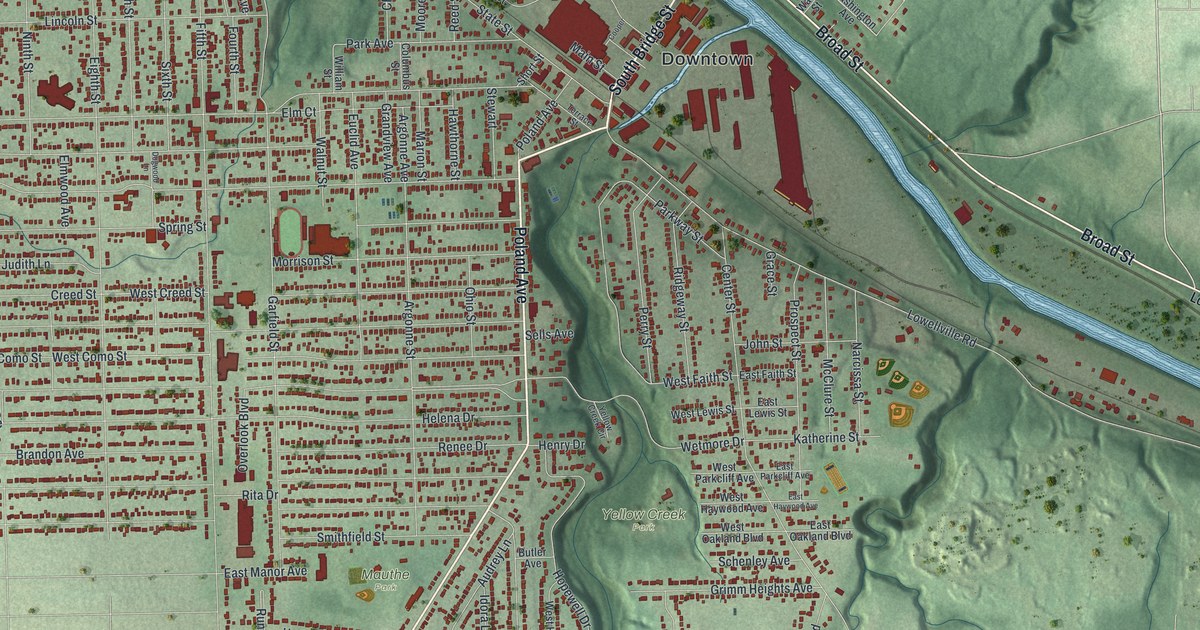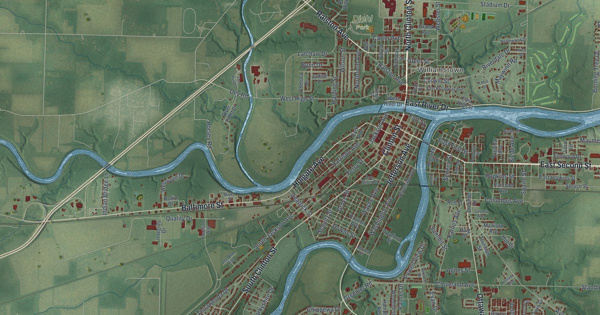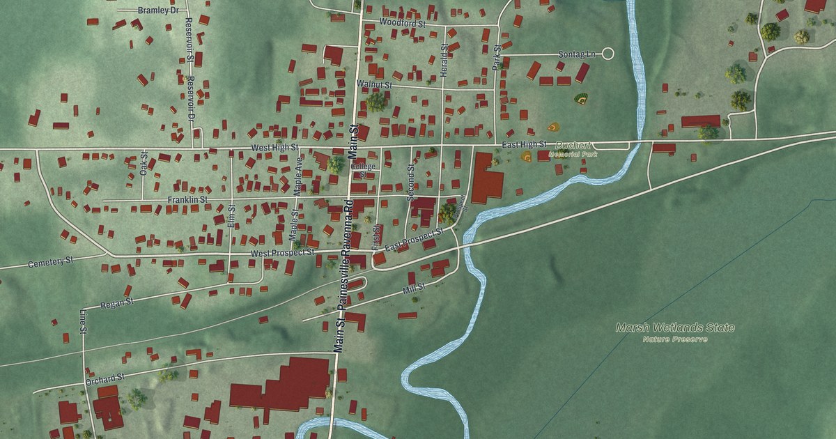
If you grew up on Main Street in Mantua, or you still have family in the village, this map was made with you in mind. It's a modern aerial view of Mantua in Portage County, Ohio, made from modern data and given a vintage feel. A winding blue river bends past the east side of town. Ball fields and a running track sit up north, a small lake shines in the lower corner, and hundreds of red buildings line the streets.
Main Street and the streets around it
On this map you'll find Main Street, West Prospect Street, East Prospect Street, West High Street, East High Street, Buchert Memorial Park, Marsh Wetlands State Nature Preserve, Franklin Street, Orchard Street, Mill Street, Elm Street, Cemetery Street, Reservoir Drive, Canada Road, and more. Each red shape is a building, so zoom in on the preview and look for yours.
Mantua Station on the Cuyahoga River
Henry Howe wrote about two Mantuas in his Historical Collections of Ohio in 1891. He said Mantua was twelve miles north of Ravenna, with three churches. Then he named Mantua Station. It was nine miles north of Ravenna, on the Cuyahoga River and on a railroad line. It had about 600 people. It had a newspaper, the Gazette. It also had one bank, called Crafts, Hine & Co.
That old name still lives downtown. The brick blocks where Main Street meets Prospect Street are on the National Register as the Mantua Station Brick Commercial District. Two houses on West Prospect Street are listed too. They're the William H. Crafts House at 4619 and the Horace L. Hine House at 4624. Those are the same two family names Howe gave for the town's bank.
Keep Main Street in Mantua close
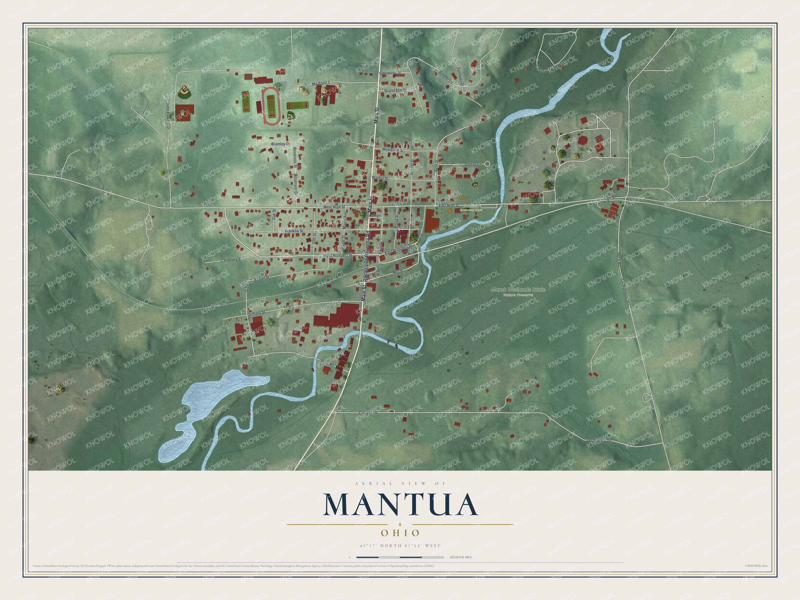
Created by KNOWOL in 2026, this print shows Mantua in soft greens with shaded hills, a blue river and red buildings. The title panel at the bottom reads "Aerial View of Mantua, Ohio" with the coordinates 41°17' North 81°13' West.
It suits a living room, a hallway or a home office. It's a kind gift for anyone who grew up near Buchert Memorial Park or shopped on Main Street and later moved away. Open the preview and find your street. See sizes and frames for the Mantua map.