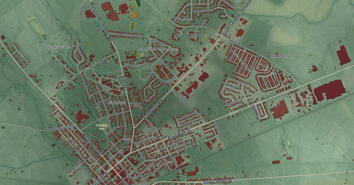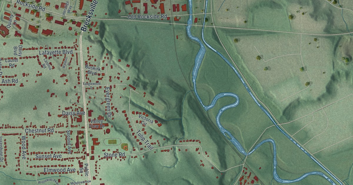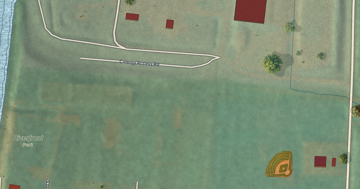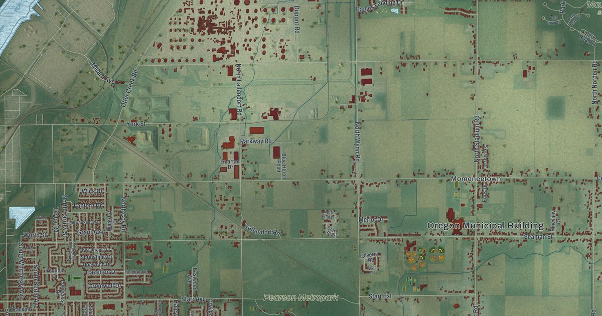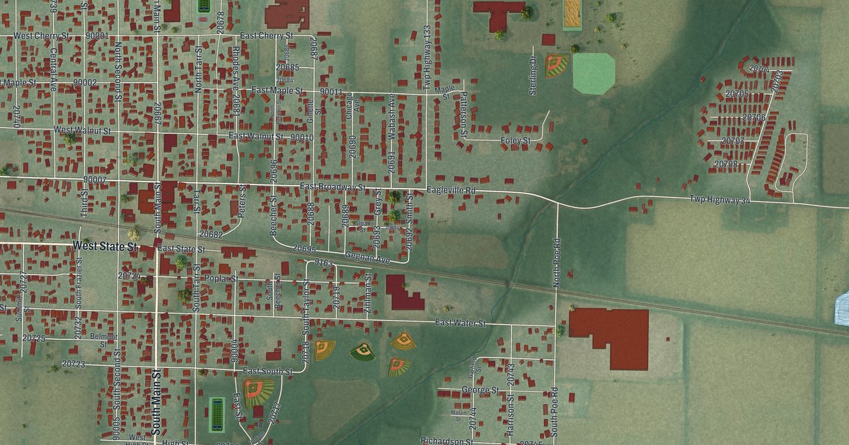
If you grew up in North Baltimore, or went to school where the Tigers play, this map shows the streets you know. It's a new aerial view of North Baltimore in Wood County, Ohio, built from modern data and given a warm vintage look. You'll see the old grid around Main Street and Broadway, the rail line cutting across town at a slant, and the fields and ponds that wrap around it.
How the Railroad Gave North Baltimore Its Name
On this map you'll find North Main Street, South Main Street, West Broadway Street, East Broadway Street, West State Street, South Second Street, Tiger Drive, Tarr Street, Peters Street, Deshler Road, Quarry Road, North Poe Road, and more. Each red shape is a building, so zoom in on the preview and look for yours.
The town started in 1860 as New Baltimore. Back then this land was part of what people called the Great Black Swamp. In 1873 the Baltimore and Ohio Railroad was built through, and the town flourished. It took its name from that line. It was made a village in 1876, and the name changed to North Baltimore in 1880. Then, in 1886, rich oil and gas deposits were found. The village grew fast, from 700 people in 1880 to 2,857 in 1890. You can still see a rail line crossing the map on a long slant, just south of Broadway.
Tarr, Peters and the Corner of Main and Broadway
Some street names match the first settlers. The marker lists Levi A. Tarr and B.L. Peters among the first settlers, and Tarr Street and Peters Street are both printed here. One of the first buildings went up in 1860. It served as a school and a meeting hall. It stood on the northwest corner of Main and Broadway, right where the two streets cross on this map. All of this comes from the Ohio History Connection's North Baltimore Community Firsts marker.
When the Independents Became the Tigers
The school story goes on nearby. The North Baltimore Elementary and High School stood at 124 South Second Street and was dedicated in 1927. It replaced an 1884 school lost to fire the year before. Its teams were called the Independents until 1931, when they became the Tigers. Look for South Second Street and Tiger Drive on the map.
A North Baltimore Map for Home, from Main Street Out

Created by KNOWOL in 2026, this print shows North Baltimore from above in soft greens, with red buildings, pale roads and blue ponds. The title panel reads "Aerial View of North Baltimore, Ohio" with the coordinates 41°11' North 83°40' West.
It fits a living room, a hallway or a home office. It's a good gift for anyone who grew up near Main and Broadway, cheered for the Tigers, or moved away and still calls North Baltimore home. Open the preview and find your street. See sizes and frames for the North Baltimore map.