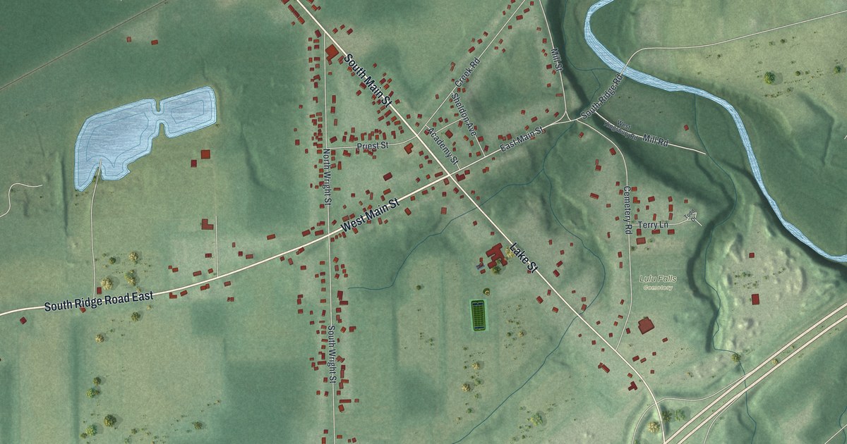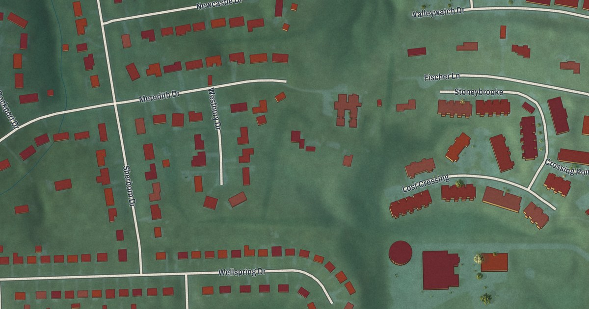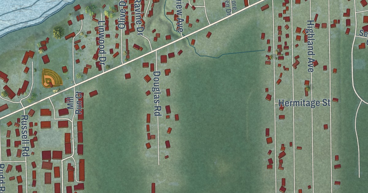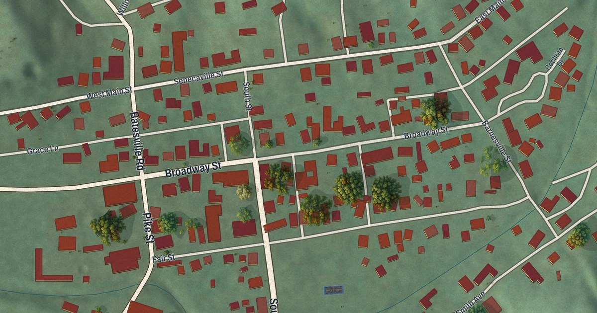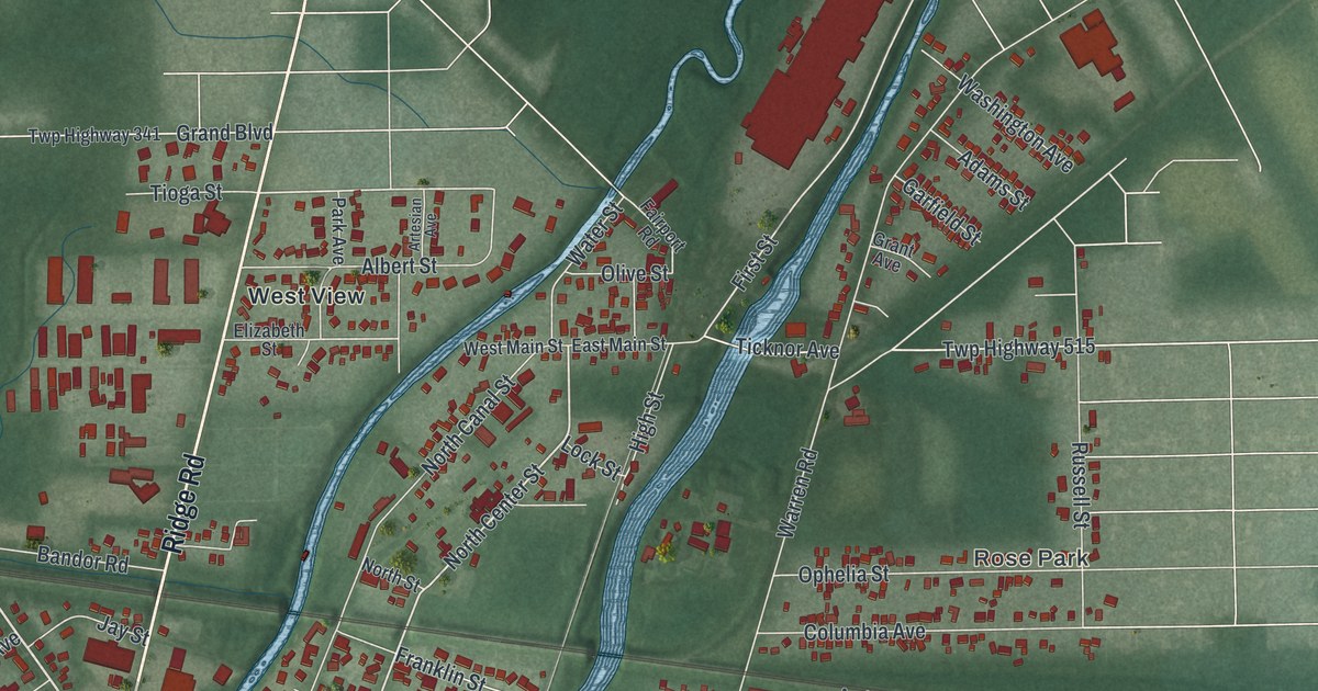
This beautifully detailed map of Newton Falls, Ohio was created in 2026 using aerial imagery combined with modern topographical, census, street and landmark data. It’s a one-of-a-kind view of Newton Falls that combines accurate data with a vintage aesthetic. The map shows every building in its true location, many of the roads carry their names, and the shaded topographic relief shows the shape of the land.
Explore an aerial view of Newton Falls, Ohio
On the map you’ll find Newton Falls City Hall, Newton Heights, West River Park, Arlington Heights, Rose Park, and West View, along with East Broad Street, West Broad Street, Damascus Newton Falls Road, Milton Boulevard, Ridge Road, Windham Street, and more. If you look closely you can even find your house accurately drawn in its correct location. Zoom in on the preview to look for yours.
Take a closer look at the Newton Falls map
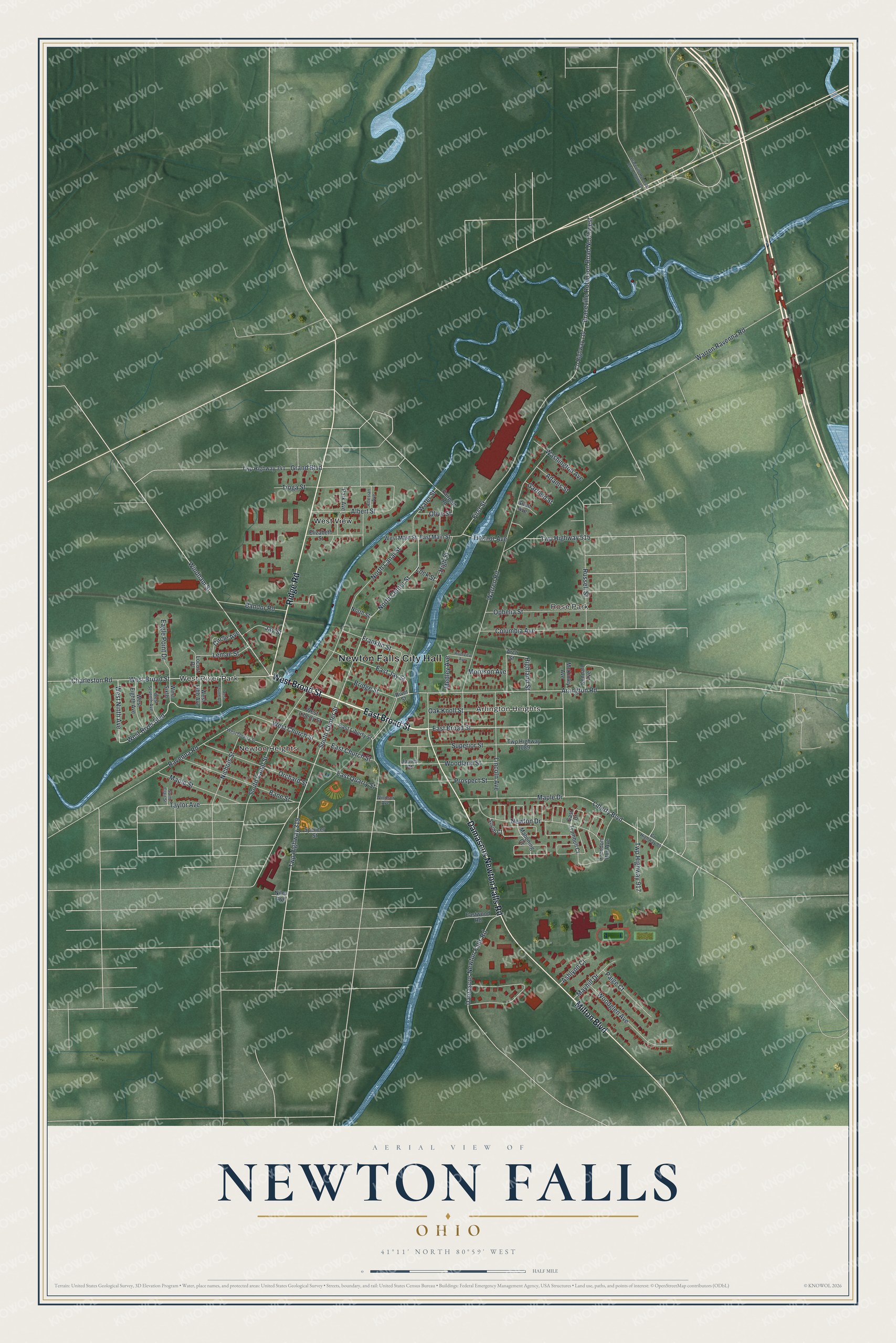
Street and place names on the Newton Falls, Ohio map
These names are printed on the map of Newton Falls, Ohio.
Places: Newton Falls City Hall, Newton Heights, West River Park, Arlington Heights, Rose Park and West View.
Streets and roads: East Broad Street, West Broad Street, Damascus Newton Falls Road, Milton Boulevard, Ridge Road, Windham Street, West Ninth Avenue, South Center Street, Highland Street, West River Boulevard, Liberty Boulevard, Arlington Road.
More street names, A to Z
Adams Street, Albert Street, Arch Street, Artesian Avenue, Ashlynn Court, Bandor Road, Bane Street, Braceville Robinson Road Northwest, Braceville Robinson Road Southwest, Bridge Street, Charleston Road, Circle Avenue, Columbia Avenue, County Highway 99, County Highway 114, Eagle Point Drive, East Church Street, East Court, East Jay Street, East Liberty Street, East Main Street, East Quarry Street, Eastwood Road, Elizabeth Street, Fairport Road, First Street, Franklin Street, Freedom Run Avenue, Garfield Street, Grand Boulevard, Grant Avenue, High Street, James Court, Jay Street, Kendall Avenue, Lemae Street, Lincoln Avenue, Lock Street, Locust Place, Mahoning Court, Maple Drive, Maple Street, Mayhill Drive, McKinley Avenue, Medley Avenue, Morrison Avenue, Newton Drive, Nichols Street, Niles Avenue, North Canal Street, North Center Street, North Street, Oak Knoll Street, Olive Street, Ophelia Street, Orchard Street, Paige Court, Park Avenue, Prospect Street, Ravenna Road, River Street, Riverview Avenue, Russell Street, Saint Clair Street, South Canal Street, South Court, Spencer Street, Superior Street, Taylor Avenue, Ticknor Avenue, Tioga Street, Trumbull Court, Twp Highway 319, Twp Highway 341, Twp Highway 515, Twp Highway 917, Twp Highway 1089, Warren Ravenna Road, Warren Road, Washington Avenue, Water Street, West Church Street, West Eighth Avenue, West Fifth Avenue, West Fourth Avenue, West Liberty Street, West Main Street, West Quarry Street, West Seventh Avenue, West Sixth, Windsor Avenue, Woodglen Avenue, Woodland Street.
See the Newton Falls, Ohio map on a wall
The Newton Falls map as an 18 x 24 inch print in a black frame.

This beautifully detailed map of Newton Falls makes an attractive addition to your office, library, or den, and it can even be used to teach children the geography and history of the area. It also makes a great gift for anyone who grew up in Newton Falls or moved away. When you’re done exploring, click here to get your copy of the Newton Falls map.