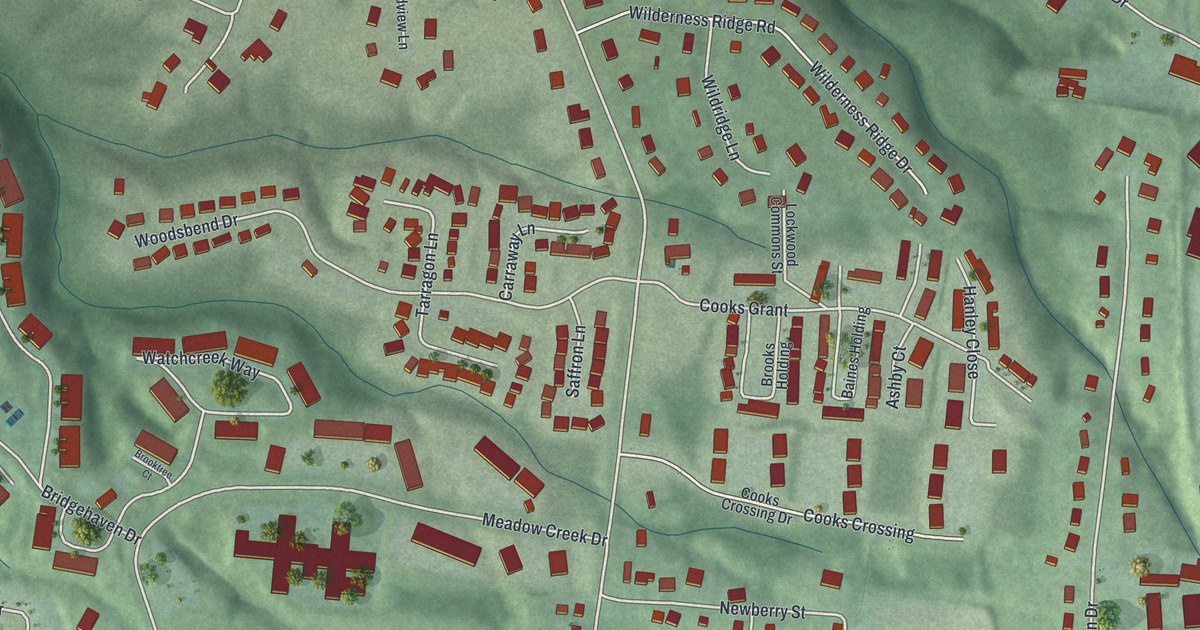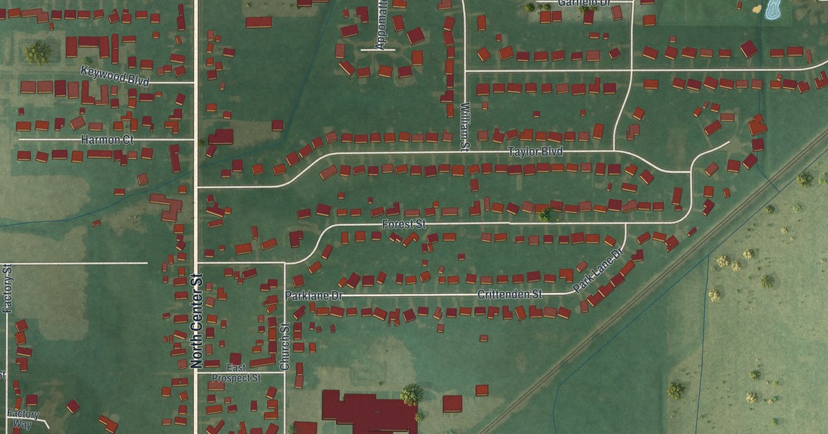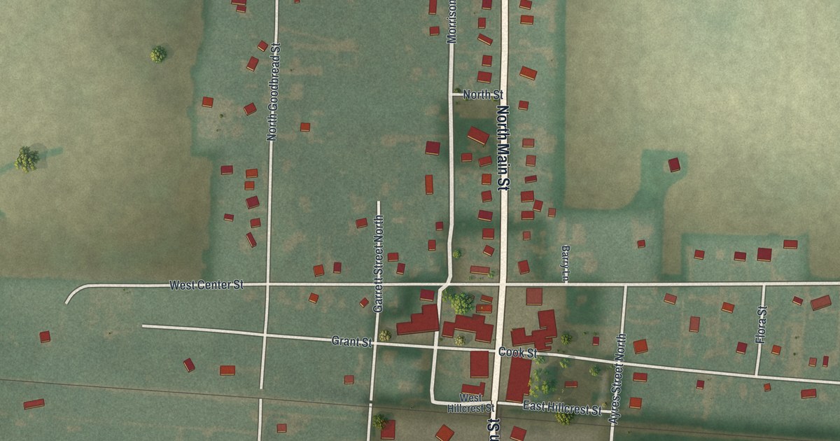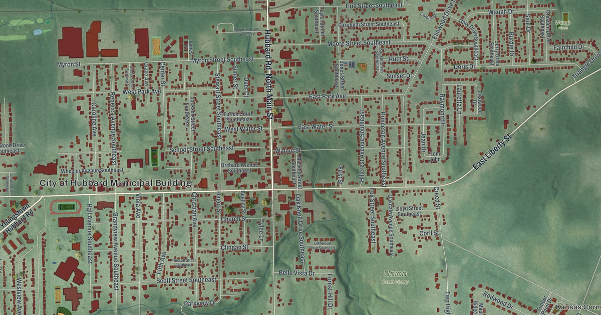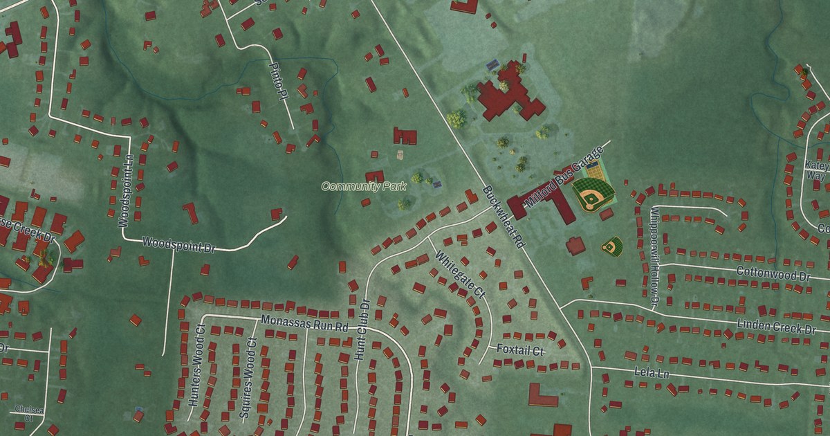
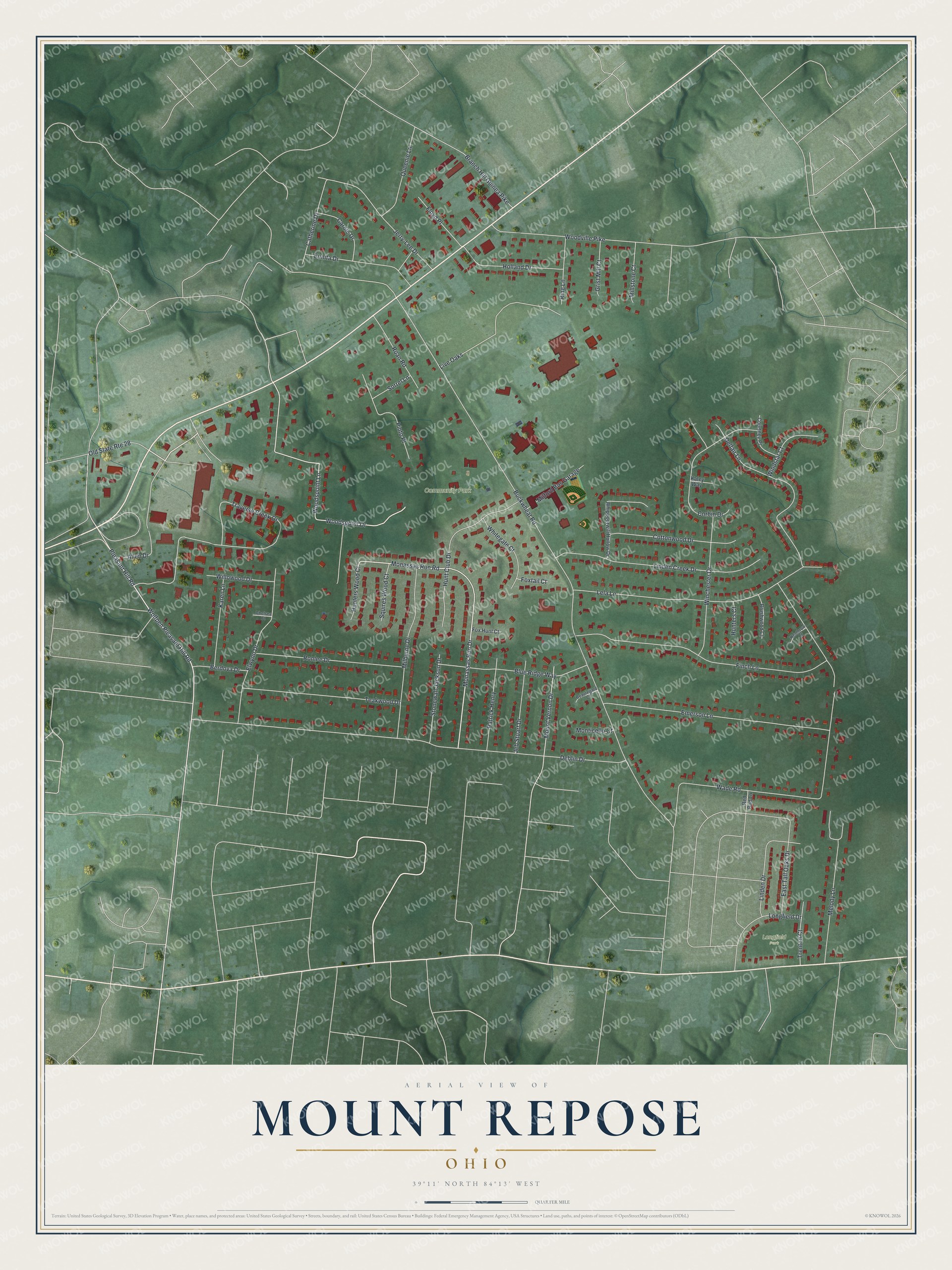
This beautifully detailed map of Mount Repose, Ohio was created in 2026 using aerial imagery combined with modern topographical, census, street and landmark data. It’s a one-of-a-kind view of Mount Repose that combines accurate data with a vintage aesthetic. The map shows every building in its true location, many of the roads carry their names, and the shaded topographic relief shows the shape of the land.
Explore an aerial view of Mount Repose, Ohio
On the map you’ll find Community Park and Longfield Park, along with Monassas Run Road, Monassas Run Drive, Woodspoint Lane, Pleasant Hill Road, Wolfpen Pleasant Hill Road, Woodspoint Drive, Buckwheat Road, Deblin Drive, Wade Road, Traverse Creek Drive, and more. If you look closely you can even find your house accurately drawn in its correct location. Zoom in on the preview to look for yours.
Did You Know?
Mount Repose began as a small hamlet built on land that once belonged to Paul McGrew. About 1828 a merchant named Selden opened a store there in a small brick house he built for the purpose. Later the storekeeper David Manning also kept the post office, which carried the hamlet's name. That's from the History of Clermont County.
Take a closer look at the Mount Repose map
Names on this map
These names are printed on this map.
Places: Community Park and Longfield Park.
Streets and roads: Monassas Run Road, Monassas Run Drive, Woodspoint Lane, Pleasant Hill Road, Wolfpen Pleasant Hill Road, Woodspoint Drive, Buckwheat Road, Deblin Drive, Wade Road, Traverse Creek Drive, Finch Lane, Lela Lane.
More street names, A to Z
Allen Drive, Beauregard Court, Berdova Drive, Blue Ridge Way, Branch Hill Guinea Pike, Brushwood Court, Carole Drive, Catherine Drive, Chelsea Court, Corbin Drive, Cottonwood Drive, Courtney Place, Delfair Lane, East Tall Oaks Drive, Elwynn Drive, Emerson Lane, Eunita Drive, Floyd Place, Fox Hunt Court, Foxtail Court, Grist Mill Court, Heathrow Court, Holland Drive, Hunt Club Drive, Hunters Court, Hunters Wood Court, Jeb Stuart Drive, Jerry-Lee Drive, Karen Lane, Katey Way, Linden Creek Drive, Linden Drive, Live Oaks, Longfield Drive, Melody Lane, Milburne Drive, Milford Bus Garage, Millstone Court, Monticello Court, Mount Vernon Drive, Old State Route 28, Patrick Henry, Pinto Place, Queenie Lane, Red Bud Lane, Ring Lane, Roan Road, Ronlee Drive, Sorrel Lane, Squires Wood Court, Stonewall Jackson Drive, Teakwood Drive, Trenton Court, Whippoorwill Hollow Drive, Whitegate Court, Willowood Drive, Winchester Drive, Windstar Court, Woodville Pike.
See it on a wall
The Mount Repose map as an 18 x 24 inch print in a black frame.

This beautifully detailed map of Mount Repose makes an attractive addition to your office, library, or den, and it can even be used to teach children the geography and history of the area. It also makes a great gift for anyone who grew up in Mount Repose or moved away. When you’re done exploring, click here to get your copy of the Mount Repose map.