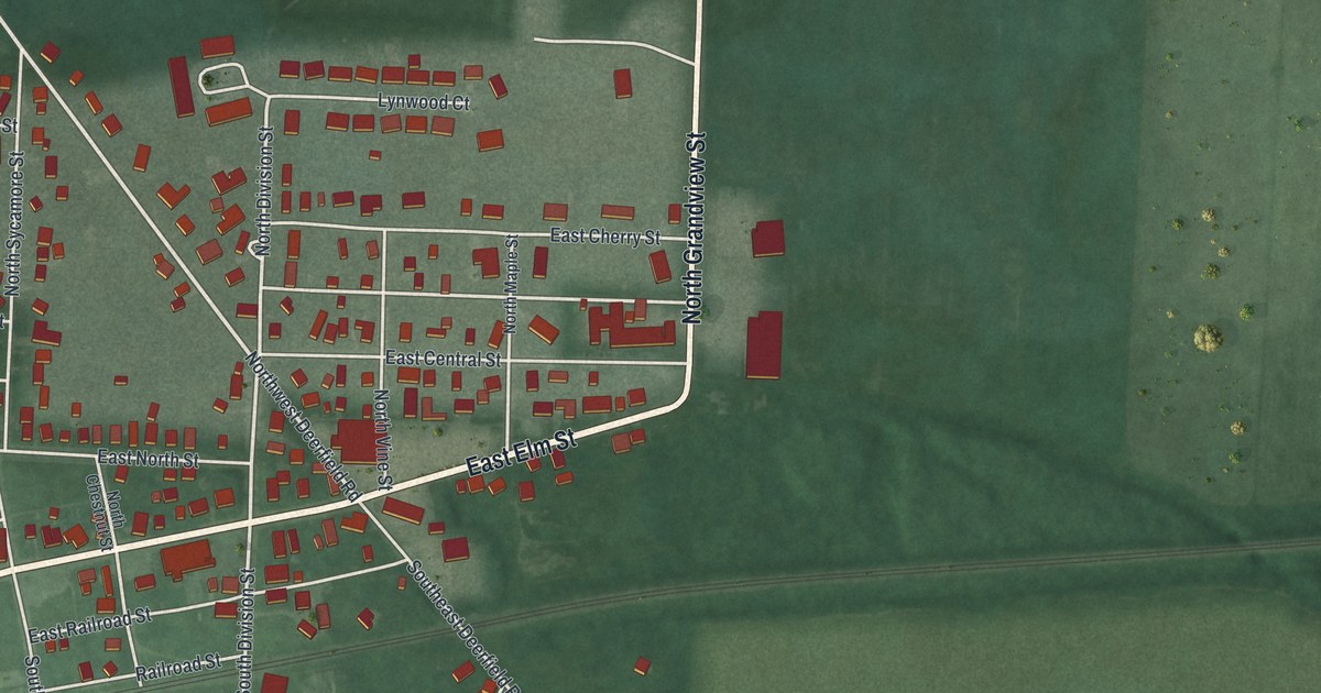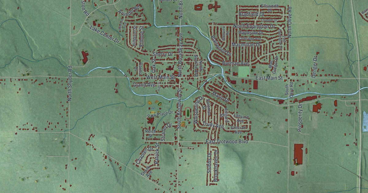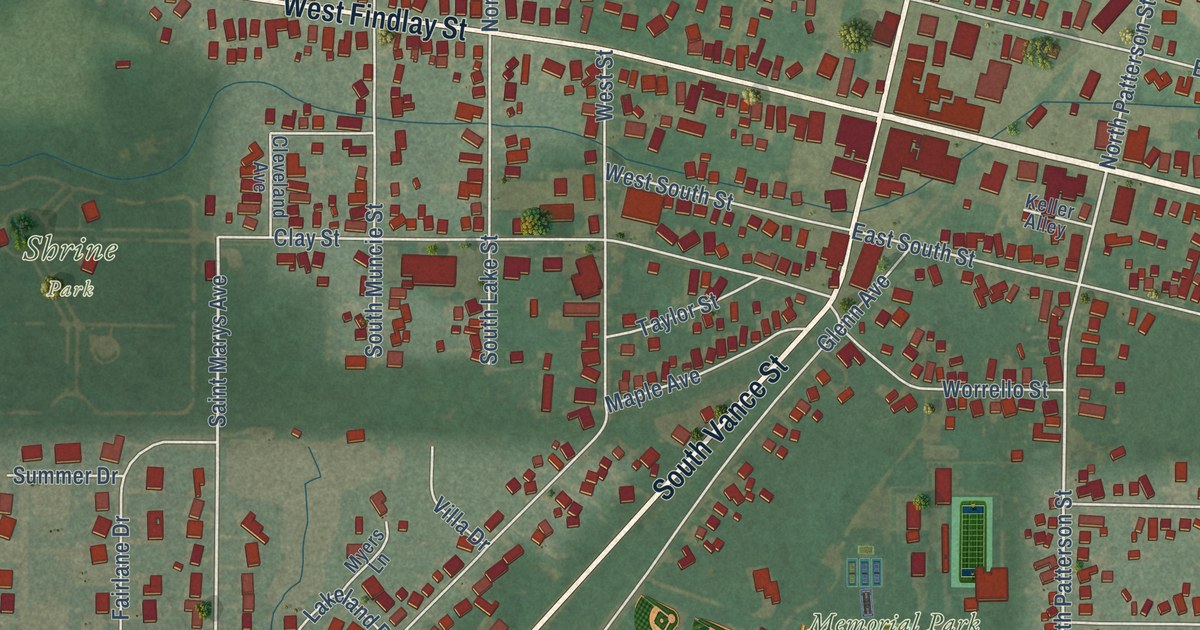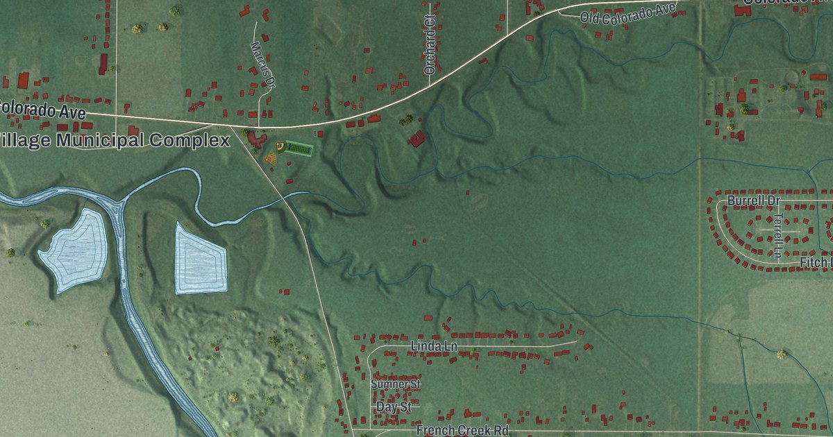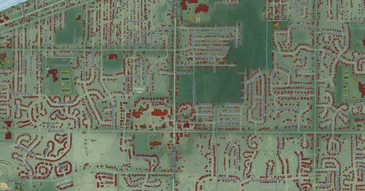
This beautifully detailed map of Avon Lake, Ohio was created in 2026 using aerial imagery combined with modern topographical, census, street and landmark data. It’s a one-of-a-kind view of Avon Lake that combines accurate data with a vintage aesthetic. The map shows every building in its true location, many of the roads carry their names, and the shaded topographic relief shows the shape of the land.
Explore an aerial view of Avon Lake, Ohio
On the map you’ll find Avon Lake City Hall, Beech Park, Avon Point, Blesser Park, Walker Road Park, Weiss Field, and Inwood Park, along with Lake Road, Avon Belden Road, Ambleside Drive, Long Pointe Drive, Belmar Boulevard, and more. If you look closely you can even find your house accurately drawn in its correct location. Zoom in on the preview to look for yours.
Take a closer look at the Avon Lake map
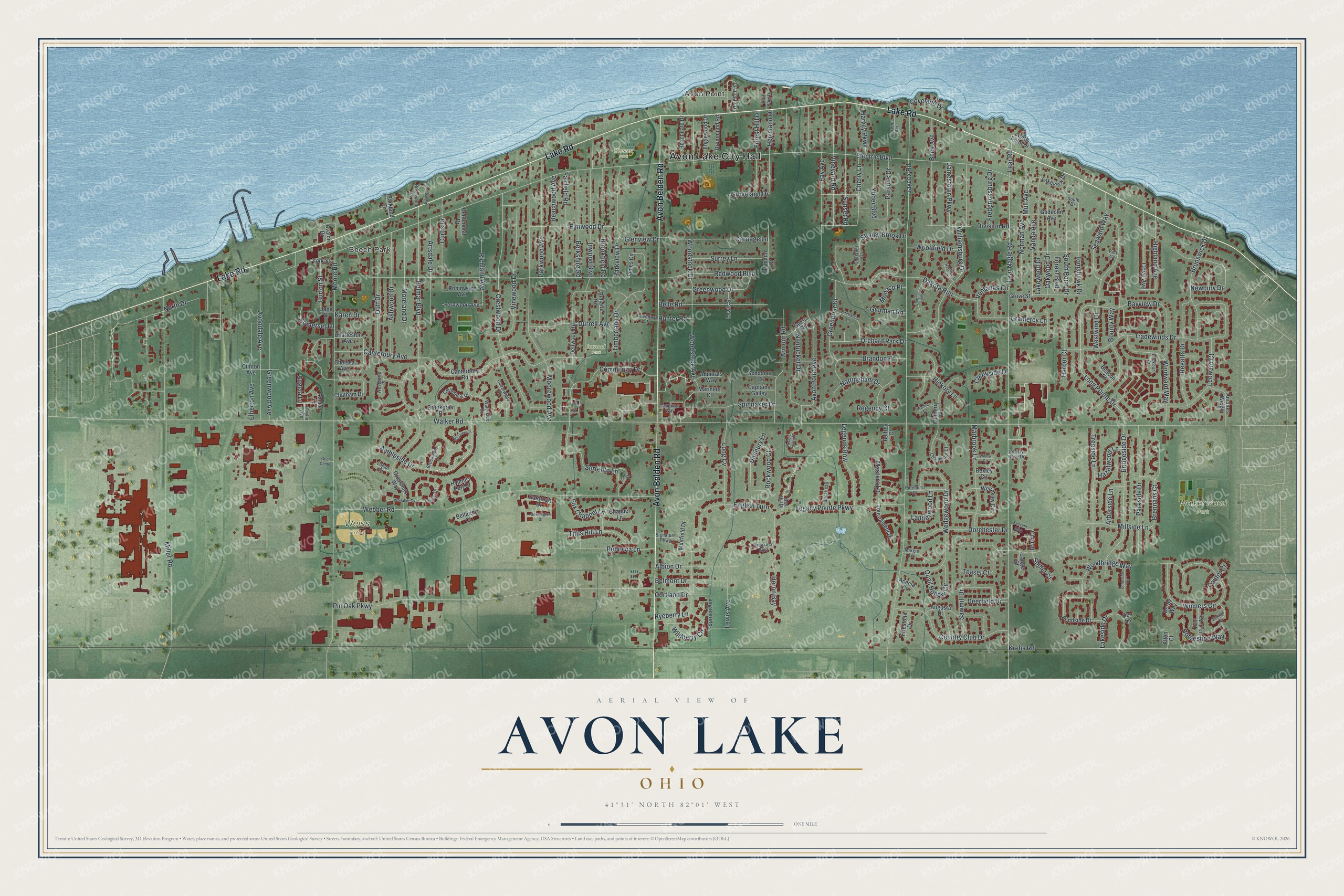
Street and place names on the Avon Lake, Ohio map
These names are printed on the map of Avon Lake, Ohio.
Places: Avon Lake City Hall, Beech Park, Avon Point, Blesser Park, Walker Road Park, Weiss Field and Inwood Park.
Streets and roads: Lake Road, Avon Belden Road, Ambleside Drive, Long Pointe Drive, Belmar Boulevard, Bridgeside Drive, Heron Bay, Groveland Drive, Walker Road, Electric Boulevard, Jaycox Road, Lear Nagle Road.
More street names, A to Z
Acacia Court, Admirals Way, Albion Drive, Alten Court, Anchors Weigh, Angela Lane, Arborside Lane, Armour Road, Artsdale Drive, Ashwood Drive, Augusta Drive, Avalon Drive, Avondale Avenue, Avon Point Avenue, Bay Hill Drive, Bayview Drive, Beachdale Drive, Beachwood Avenue, Beacon Court, Beck Avenue, Belfrey Court, Belladon Court, Bellaire Road, Belle Road, Belmont Drive, Bennington Drive, Berkshire Road, Bexley Circle, Birchwood Lane, Bounty Way, Brandon Place, Breakers Boulevard, Brennans Court, Brookcrest Place, Brookfield Road, Brookstone Court, Brunswick Drive, Brust Drive, Buckhead, Burton Street, Campus Court, Canterbury Avenue, Canterbury Road, Canter Court, Capri Court, Captains Galley, Carriage Lane, Cedarwood Road, Centennial Drive, Chancellor Court, Chappel Lane, Charleston Avenue, Chatham Drive, Chelsea Avenue, Cherry Lane, Chestnut Court, Cheyenne Falls, Clearbrook Drive, Clinton Avenue, Community Drive, Coronado Circle, Cortland Drive, Country Club Drive, Cove Avenue, Coveland Drive, Coventry Court, Creekside Drive, Crestwood Drive, Crossings Way, Curtis Drive, Dakota Run, Danbury Lane, Deerfield Drive, Del Lane, Dellwood Road, Derby Way, Division Road, Dorchester Drive, Drummond Road, Duff Drive, Durrell Avenue, Edgewood Drive, Elberton Avenue, Elmwood Drive, Englewood Drive, English Turn, Fairfield Road, Fairport Drive, Fay Avenue, Fernwood Avenue, Firestone Drive, Florence Avenue, Forest Boulevard, Forest Hill Drive, Fox Chappel Lane, Fredericksburg Drive, Gedeohn Avenue, Geon Center, Gierman Road, Glenview Drive, Gra-Gull Drive, Gramercy Lane, Greenbriar Drive, Greenwood Avenue, Greenwood Drive, Grove Street, Gurss Road, Harbor Court, Harvey Parkway, Hawthorne Court, Hazelwood Lane, Hermann Drive, Herrmann Drive, Hickory Lane, Highland Avenue, Horseshoe Way, Hunt Club Way, Hunter Road, Hyannis Port Drive, Inwood Boulevard, Jaeger Court, James Circle, Jamestown Parkway, Jockeys Circle, June Street, Karen Drive, Kossuth Alley, Krebs Road, Lakeside Drive, Lakeview Drive, Lakewood Drive, Landerwood Lane, Landings Way, Lear Road, Leeward Court, Legacy Pointe Parkway, Legends Row, Lewis Avenue, Lewis Street, Liberty Rose Drive, Logan Court, Long Cv, Lookout Court, Marbrook Lane, Margie Lane, Mariners Court, Masters Lane, Miller Road, Millside Lane, Monaco Place, Moore Road, Moorewood Avenue, Moreland Drive, Muirfield Drive, Mulberry Lane, Mull Avenue, Nantucket Drive, Newbury Drive, Norman Avenue, North Drive, North Point Drive, Nottingham Drive, Oakwood Drive, Orchard Park Drive, Parkland Drive, Parkside Drive, Parkview Drive, Parkwood Avenue, Parsons Drive, Pinehurst Drive, Pin Oak Parkway, Pondside Drive, Port Cv, Quail Hollow Circle, Rachel Lane, Rebecca Lane, Redwood Boulevard, Regatta Drive, Regency Court, Rice Park Drive, Richland Avenue, Robinwood Avenue, Rockwood Court, Rosewood Drive, Ryeberry Lane, Saratoga Drive, Sawmill Drive, Schooner Court, Seaward Way, Shiller Court, Signature Parkway, Somerset Lane, Sorrento Lane, South Drive, South Point Drive, Spinnaker Drive, Spruce Avenue, Stoney Brook Drive, Sunset Road, Surrey Lane, Taylor Avenue, Teasel Court, Timberlane Drive, Titus Hill Lane, Tomahawk Drive, Tournament Drive, Tradewinds Drive, Treeside Lane, Vanda Avenue, Ventanas Circle, Vinewood Drive, Vineyard Road, Vintage Pointe Drive, Walnut Court, Waterside Drive, Waterview Court, Webber Road, Wedgewood Drive, Wellesley Circle, Westporte Place, Westwind Drive, Whitaker Cv, Wildberry Circle, Williamsburg Drive, Willow Circle, Windward Way, Winners Circle, Woodbridge Way, Woodfield Drive, Woodstock Avenue, Woodstock Drive, Yoder Boulevard, York Street.
See the Avon Lake, Ohio map on a wall
The Avon Lake map as an 18 x 24 inch print in a black frame.

This beautifully detailed map of Avon Lake makes an attractive addition to your office, library, or den, and it can even be used to teach children the geography and history of the area. It also makes a great gift for anyone with Avon Lake roots. When you’re done exploring, click here to get your copy of the Avon Lake map.