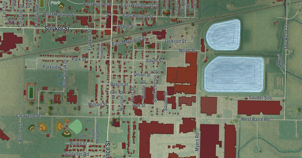
If you grew up in Archbold, or you still drive North Defiance Street most days, this map was made for you. It's a modern aerial view of Archbold in Fulton County, Ohio, built from modern data and given a vintage feel. Sauder Village sits near the top, and Archbold Cemetery is near the bottom. In between you'll see the whole village, with a rail line cutting across town. Two pale blue ponds sit on the east side. Farm fields fill the rest of the sheet.
Erie Sauder and Sauder Village
On this map you'll find North Defiance Street, South Defiance Street, East Holland Street, Stryker Street, Lugbill Road, Union Street, Murbach Street, Lafayette Street, Blue Streak Drive, Ruihley Park, Sauder Village, Sauder Street, Sauder Silo, Archbold Cemetery, and more. Each red shape is a building, so zoom in on the preview and look for yours.
Erie J. Sauder was born in 1904 and grew up on a farm in Archbold. In 1934 he started woodworking in a barn in town, with help from his wife Leona. He made tables and church pews. The Sauder Woodworking Company grew quickly. In 1951 he came up with a table kit that was easy to ship. The state historical marker for Erie J. Sauder says that kit helped launch today's ready-to-assemble furniture industry. The company became one of Fulton County's main employers. In 1976 he started Sauder Village, a place that shows how farm families lived in the Black Swamp region in the 1800s. You'll find Sauder Village near the top of the map. The marker stands just west of the windmill at its entrance.
The Ohio Art Company began on North Defiance Street
Another Archbold business got its start downtown. Henry Simon Winzeler opened a dental practice in 1900 in the Murbach Building. It was on the corner of North Defiance and East Holland streets, and both streets are printed on this map. Eight years later he changed careers. An oval mirror in his aunt's clothing store gave him an idea for picture frames. He named his new company The Ohio Art Company. The Ohio Art Company marker says the money came from his Hub Grocery on North Defiance Street. The frame shop opened a few doors down, in the Spoerle and Baer Building.
From Sauder Village to Archbold Cemetery
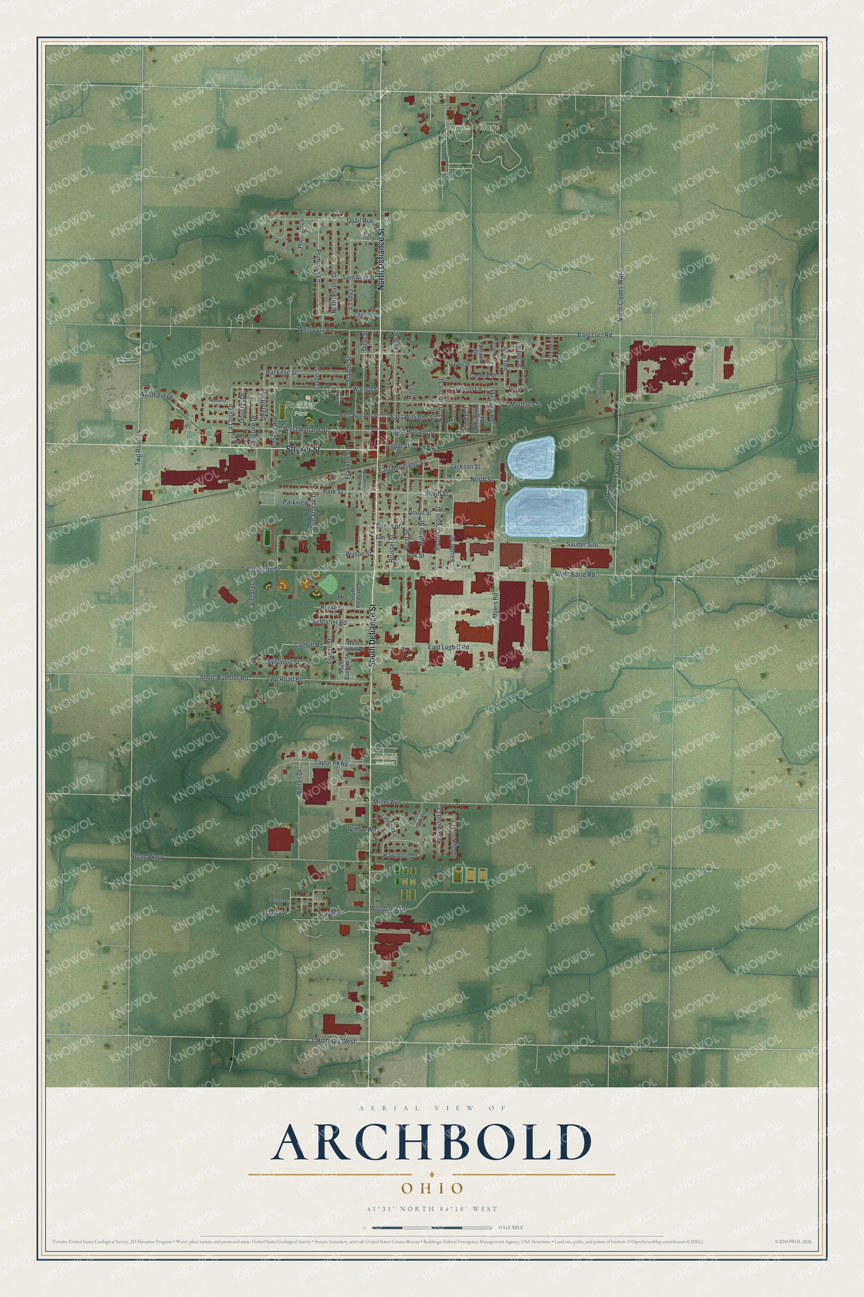
Created by KNOWOL in 2026, this print shows Archbold from above in soft greens, with buildings in deep red and streets in fine pale lines. The title panel reads "Aerial View of Archbold, Ohio" with 41°31' North 84°18' West beneath it.
It fits a living room, a home office or the hallway by the front door. It's a good gift for someone who grew up near Ruihley Park, or for a family member who moved away from Archbold. Open the preview and find your street. See sizes and frames for the Archbold map.