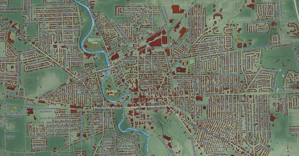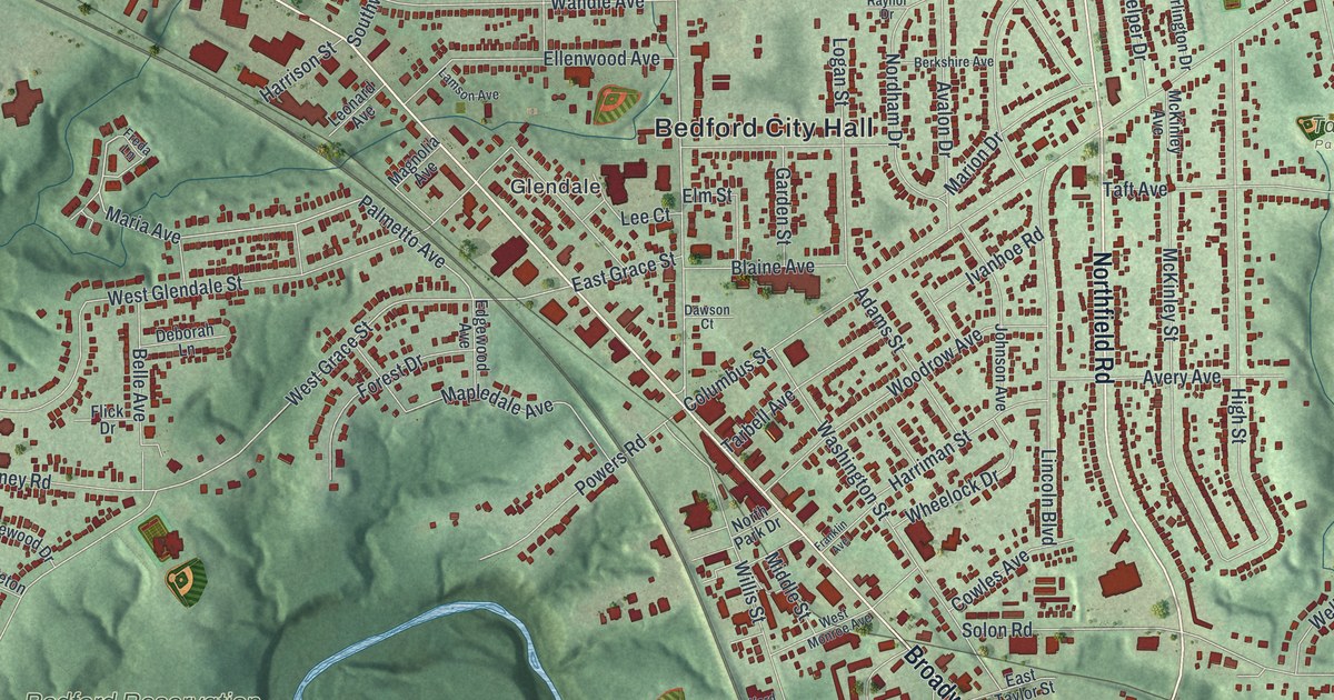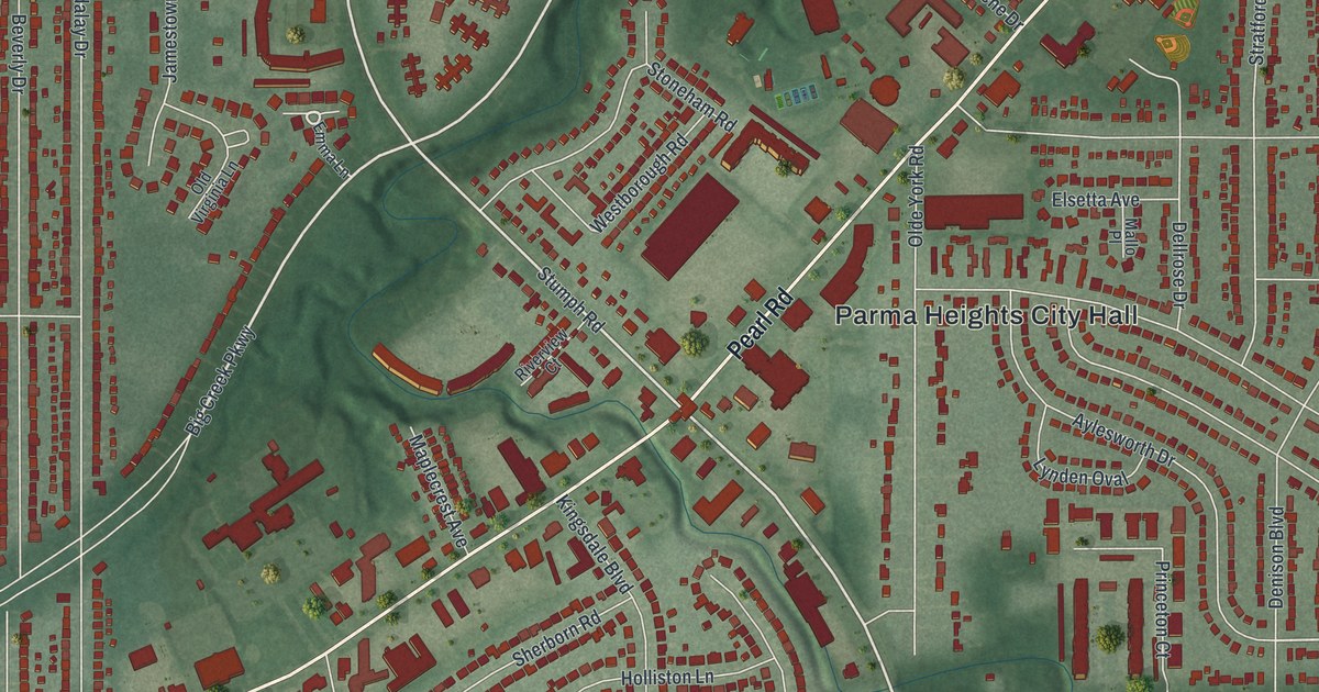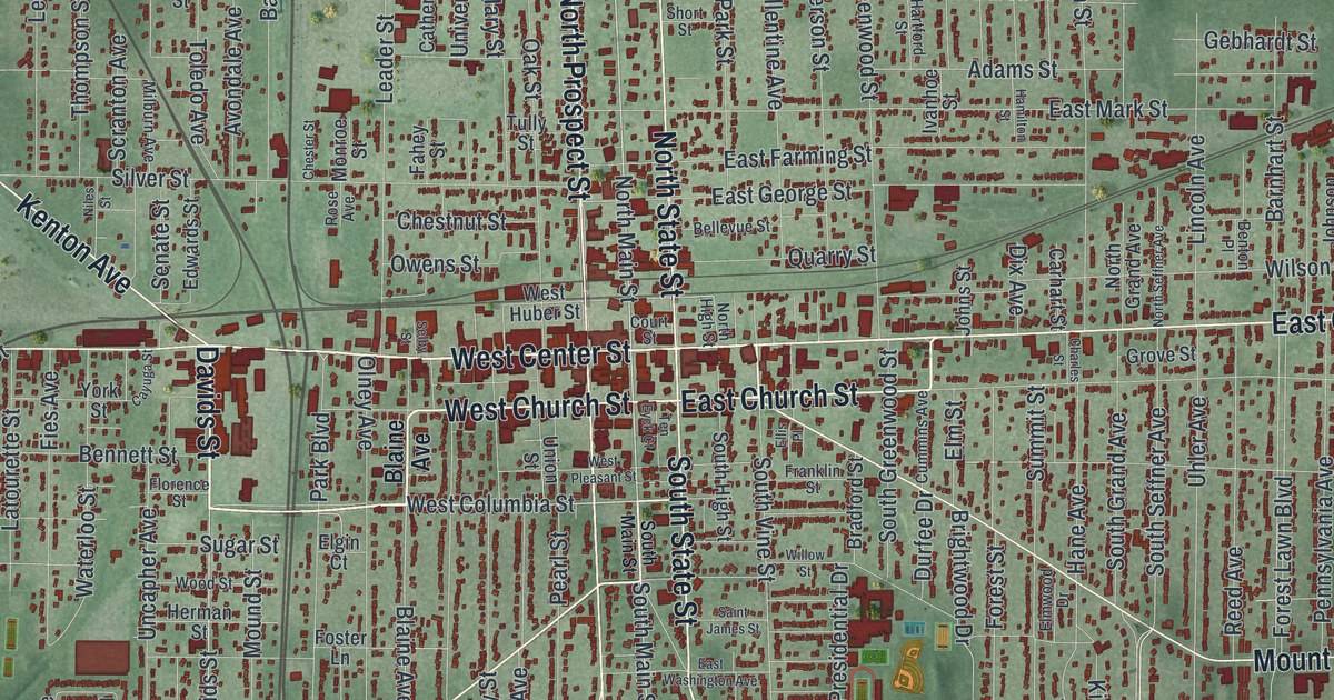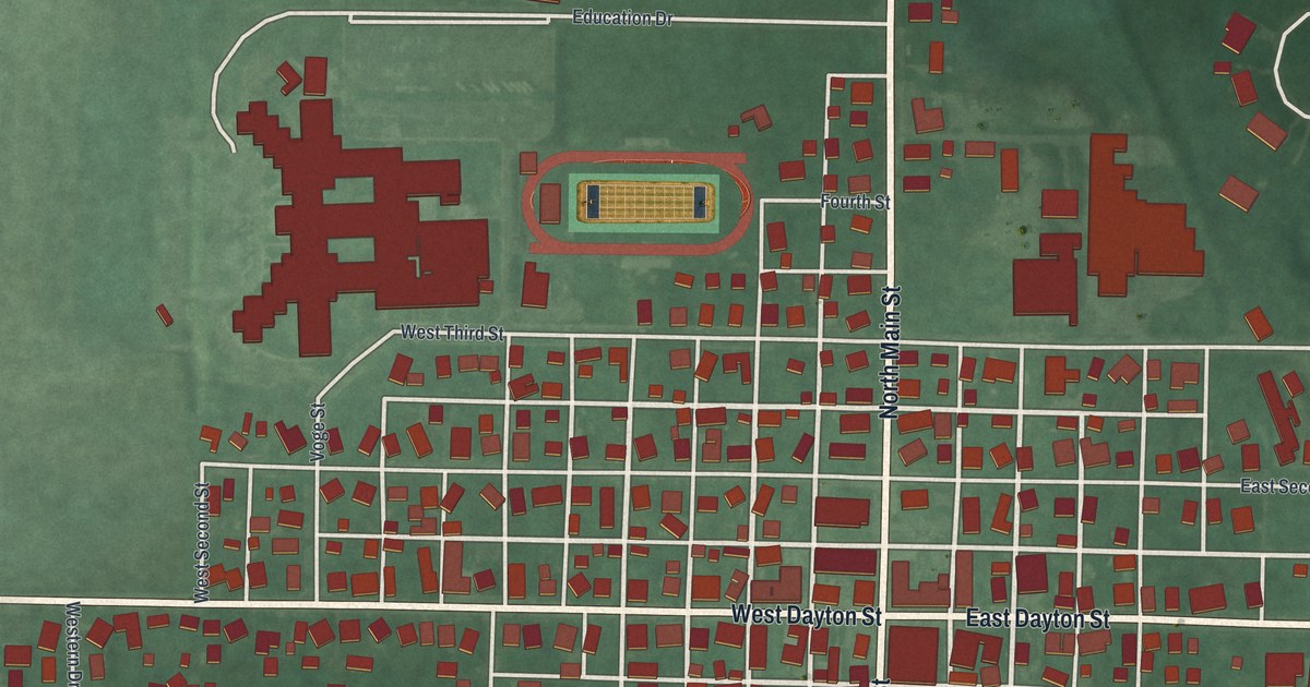
If you grew up in West Alexandria, or you still have family near Main Street and Dayton Street, this map was made with you in mind. It's a new aerial view of this Preble County village, built from modern data and given a soft vintage look. Red shapes mark the homes and shops on a tight grid of streets, with green land all around. A blue creek bends down the upper right corner, and ball diamonds and a running track sit near the edges of town.
West Alexandria and Its Streets
On this map you'll find Main Street, North Main Street, South Main Street, West Dayton Street, East Dayton Street, Education Drive, Peace Park, Central Avenue, Elm Street, Summit Street, West Oak Street, Hope Avenue, Stotler Road, Dorsey Akers Drive, and more. Each red shape is a building, so zoom in on the preview and look for yours.
Why West Alexandria Was Called the Heart of the Twin Valley
In 1891, Henry Howe wrote about the village in his Historical Collections of Ohio. He placed it six miles east of Eaton, on a railroad line, "in the heart of the beautiful Twin Valley." He said it was thought to be one of the wealthiest villages, per person, in this part of the state. He also said it was known for its many fine homes. Local shops made furniture, washing machines and wool goods. The town had its own paper, the Twin Valley Times, and three churches.
The Old Buildings on Dayton Street
Some of that old town still stands along Dayton Street. Three buildings there are on the National Register of Historic Places. The Lange Hotel is at 1 West Dayton Street. The George B. Unger House is at 29 East Dayton Street. The West Alexandria Depot is at 71 East Dayton Street, a reminder of the rail line Howe wrote about. On the map, Dayton Street is the long road that crosses Main Street near the middle of town.
Keep Main Street and Dayton Street Close
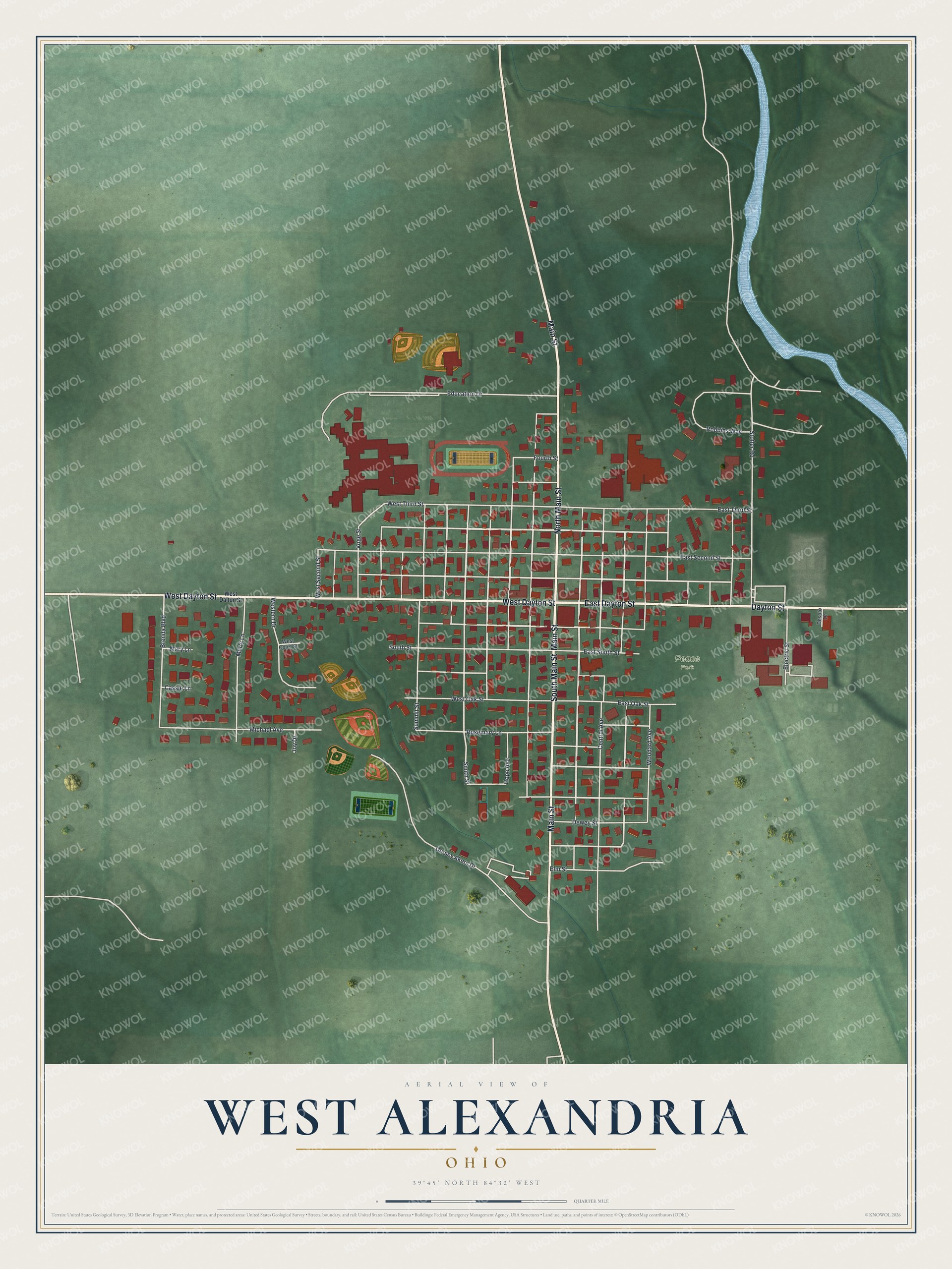
Created by KNOWOL in 2026, this print shows the village in soft greens with red buildings, cream streets and a blue creek. The title panel reads "Aerial View of West Alexandria, Ohio" with the coordinates 39°45' North 84°32' West.
It fits a front hall, a family room or a home office. It's a kind gift for someone who grew up a few blocks from the old depot on Dayton Street and has since moved away. Open the preview and find your block. See sizes and frames for the West Alexandria map.