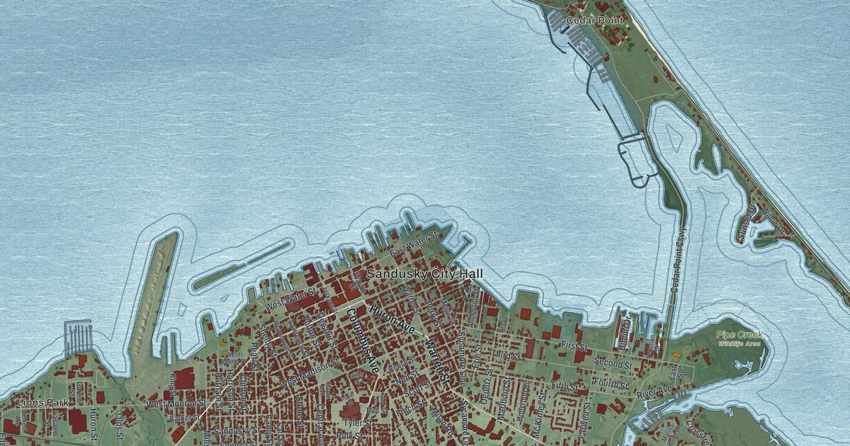
If you grew up in Sandusky, spent summers at Cedar Point, or still have family off Columbus Avenue, this map gives you a lot to find. It's a modern aerial view of Sandusky in Erie County, Ohio, built from modern data and given a vintage feel. Wide blue water fills the top half of the sheet. Downtown's red blocks crowd the shore around Sandusky City Hall. The long, thin strip of Cedar Point curves up on the right. To the south and west, the streets spread out to MacArthur Park and Venice.
Sandusky City Hall, Tiffin Avenue and Cedar Point
Start at Sandusky City Hall, near the water in the middle of the map. Columbus Avenue runs south from here, through the thickest blocks of red. Hayes Avenue meets it and angles off to the southwest. Just west of Hayes, Buchanan and Pierce Streets run past MacArthur Park. Now go back downtown and take Tiffin Avenue southwest. West of downtown, it meets Venice Road. Follow Venice Road west past Baywater Estates, Westview Estates and Venice.
Back at City Hall, look east along the shore. Pipe Creek Wildlife Area sits at the water's edge just past downtown. Near it, Cedar Point Causeway crosses the water toward the long strip of land at the top right. Cedar Point is named near its tip, and Perimeter Road passes it. Cedar Point Road runs all the way down that strip to the bottom right corner. Cedar Point became a beach resort in the late 1870s, when visitors came over from Sandusky by steamboat. Many of the roads are labeled, and each red shape is a building, so zoom in on the preview and look for yours.
Why Huron Avenue and Central Avenue form a compass
Look closely at the streets around Sandusky City Hall. Two of them fan out from downtown at an angle. That was planned. In 1816, a surveyor named Hector Kilbourne drew the first plan of the town. Back then it was called Portland. Kilbourne was a Freemason, and he laid out the streets to form the Masonic emblem. Huron Avenue and Central Avenue are the two arms of the compass. In his plan, Elm and Poplar Streets made the sides of the square. When Sandusky's first Masonic Lodge started in 1819, Kilbourne was its Master. The state historical marker for the Kilbourne Plat tells the story. It stands downtown near Wayne Street. On the map, put one finger on Huron Avenue and one on Central Avenue, then follow them south from City Hall as they spread apart.
For anyone who grew up near Columbus Avenue
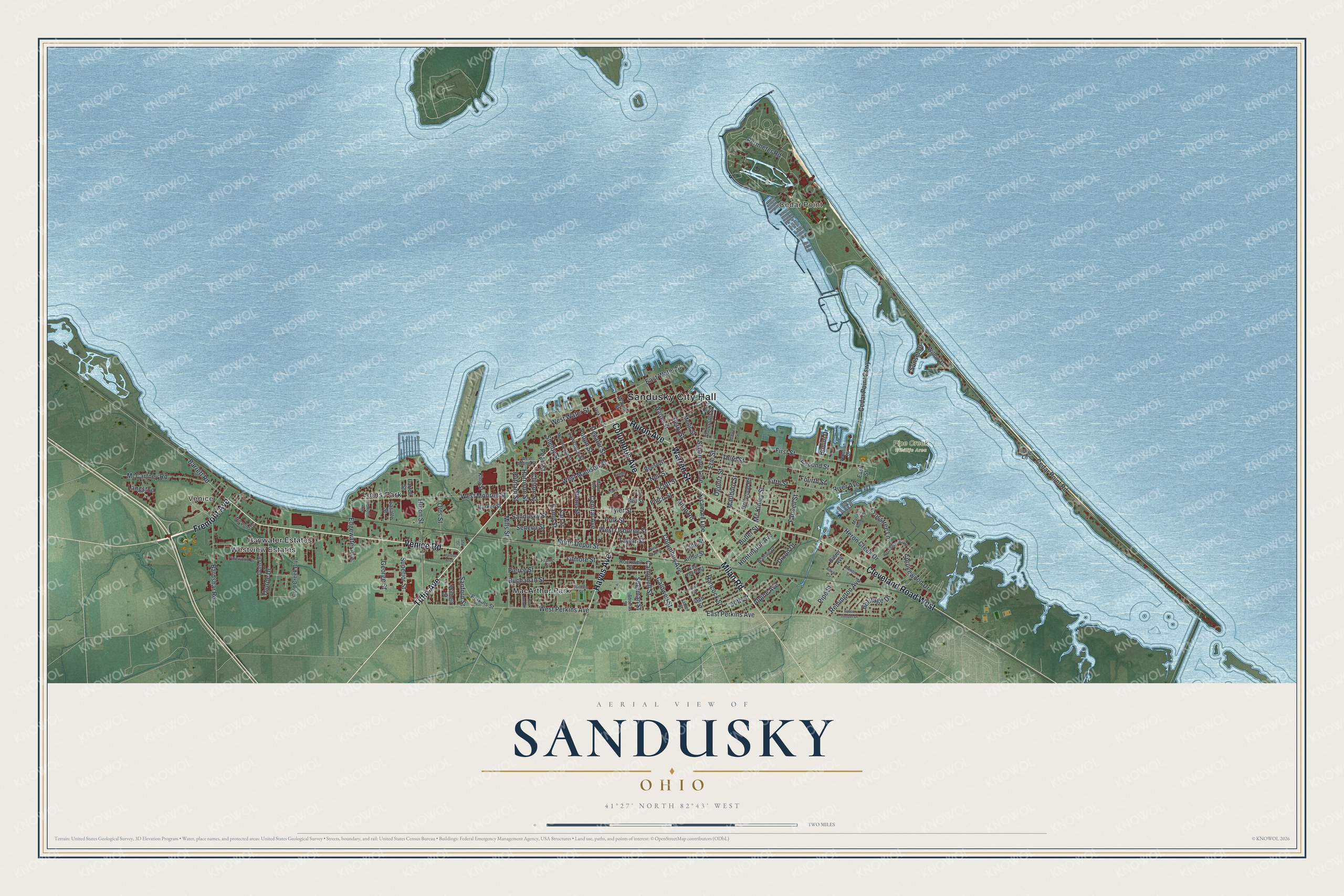
Created by KNOWOL in 2026, this Sandusky map shows the water in soft blue and the land in shaded green from USGS elevation data. The streets come from Census Bureau records, and more than 9,700 buildings are drawn in deep red. The title panel reads "Aerial View of Sandusky, Ohio" with 41°27' North 82°43' West and a two-mile scale bar.
It suits a living room, a den or an office wall. It's a good gift for someone who worked a summer at Cedar Point, or for anyone who grew up in Sandusky and moved away. Open the preview, zoom in near City Hall and find a block you know. See sizes and frames for the Sandusky map.