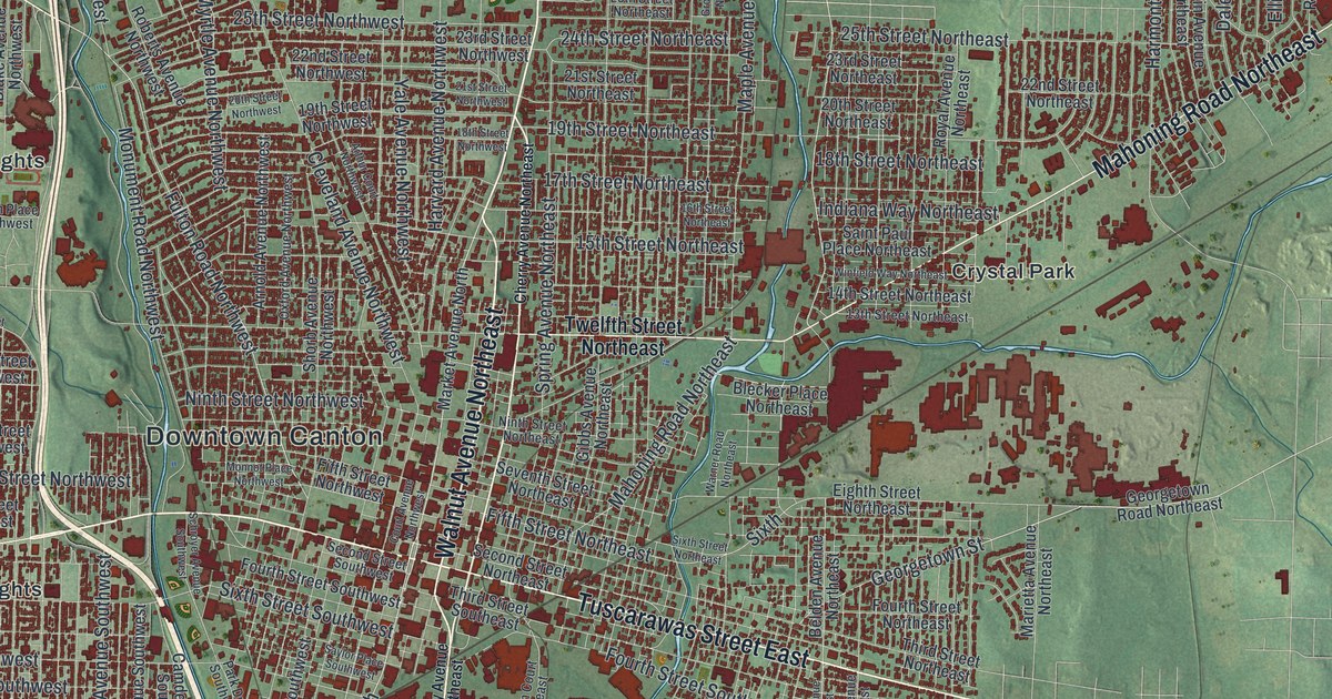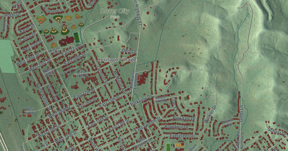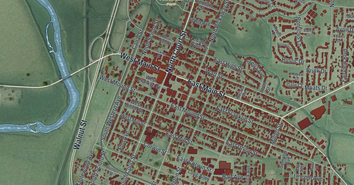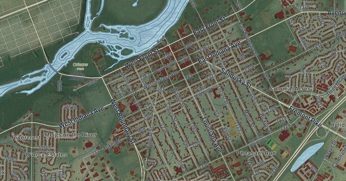
If you grew up in Perrysburg, went to school here, or drive the Fremont Pike every morning, this map shows the town the way you know it. It's a modern aerial view of Perrysburg in Wood County, Ohio, built from modern data and finished with a vintage look. The Maumee River comes in at the top right corner and runs down across the sheet to the left edge. It isn't labeled, but you can't miss it. The old street grid sits right on the bank, with the newer neighborhoods spreading south and west across flat farm country. More than 20,000 buildings are drawn in dark red, from the blocks off Louisiana Avenue out to Roachton and Hulls Crossing. Explore the print options for Perrysburg.
Louisiana Avenue, the tree streets and the Fremont Pike
Start at Water Street, where Louisiana Avenue meets the river. Louisiana Avenue heads south through the middle of the old town. West Front Street and East Front Street run along the water on either side of it. A few blocks in, West Indiana Avenue and East Indiana Avenue cross. The side streets here are named for trees. Pine Street, Cherry Street, Walnut Street and Mulberry Street sit on one side of Louisiana Avenue. Locust Street, Maple Street, Elm Street and Hickory Street sit on the other. Sandusky Street heads east out of the grid past those last four, and it carries on as the Fremont Pike, with Colonial Acres and Holiday Park on either side. Dixie Highway runs south from Findlay Street past Levis Commons Boulevard and North Wilkinson Way, then crosses Roachton Road before the fields open up toward 5 Point Road. Back up at Louisiana Avenue, Eckel Junction Road heads west past Southwood Park, crosses Dixie Highway, and carries on past Kettle Run and Fort Meigs Place. Hulls Crossing, Carrington Woods and Willowbend sit along the left edge, close to the river. Many roads are named, and each dark red shape is a building, so zoom in on the preview and look for yours.
Why Sandusky Street was called the Mud Pike
Sandusky Street is a good story to tell when someone asks about the map on your wall. An Ohio historical marker near Hickory Street explains it. Sandusky Street is the old Maumee and Western Reserve Turnpike. In 1808, in the Treaty of Brownstown, Native American tribes ceded the right of way for this 46-mile road to the federal government. The strip ran in a nearly straight line from the lower rapids of the Maumee, through the Black Swamp, to the edge of the Western Reserve. The road was 120 feet wide, with a mile of land on each side. Congress gave that land to Ohio in 1823, and a rough road was cleared by 1827. Selling the land paid for the building and the repairs. In the wet seasons the road was so bad that people called it the Mud Pike. It finally got a gravel surface in 1838. Follow Sandusky Street east on the map, out along the Fremont Pike, and you're tracing that line.
Fort Meigs Road, Fort Meigs Place and the fort they're named for
The fort behind all the Meigs names sits west of town, off West River Road. Fort Meigs was built during the War of 1812 under General William Henry Harrison. It was named for Ohio Governor Return Jonathan Meigs. On September 13, 1813, officers at the fort started the first Masonic lodge in Northwest Ohio. The fort itself isn't labeled on this print, but Fort Meigs Road, Fort Meigs Place and Meigs on the River all carry the name. Look for them in the middle of the sheet, south of the river.
Perrysburg was founded as a village in 1816, and Wood County followed in 1820. The town laid out its first cemetery in 1822 at the corner of West Indiana Avenue and Cherry Street. By 1848 it was full, so a new one opened out at West Boundary Street and Indiana Avenue. The cholera epidemic of 1854 took more than a hundred lives here and overwhelmed the small cemetery crew. That ground later became Fort Meigs Union Cemetery, which isn't labeled on the map. Perrysburg was the county seat in those years, and the old county jail built in 1847 still stands on West Indiana Avenue. Zoom in along West Indiana Avenue and you can count the blocks from Cherry Street out to West Boundary Street.
A gift for anyone who grew up along Louisiana Avenue
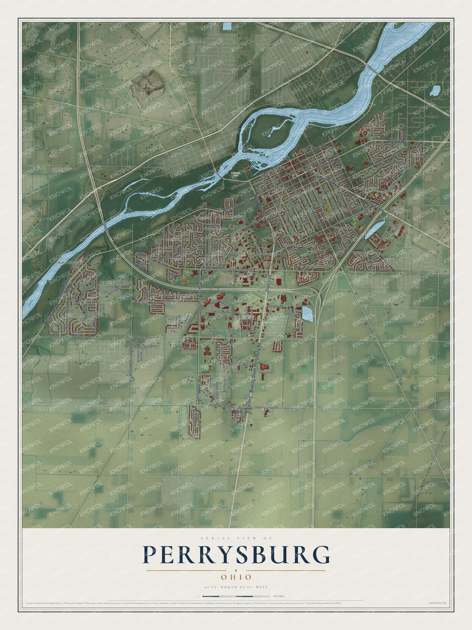
Created by KNOWOL in 2026, this Perrysburg map shows the Maumee River in pale blue from the top right corner down to the left edge, the farm fields in soft greens, and the buildings in dark red. The land here is flat, so the old grid and the curving newer streets stand out clearly. The title panel reads "Aerial View of Perrysburg, Ohio," with the coordinates 41°32' North, 83°39' West and a one-mile scale bar.
It suits an office, a den or a kitchen wall, and it makes a thoughtful gift for someone who grew up here, moved away for work, or still comes back for the holidays. Open the preview, zoom in on Louisiana Avenue and find the streets you know. Shop the Perrysburg, Ohio map.