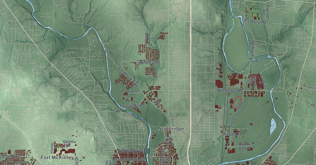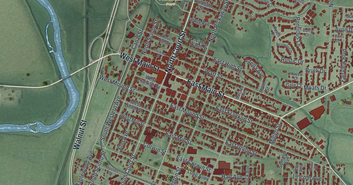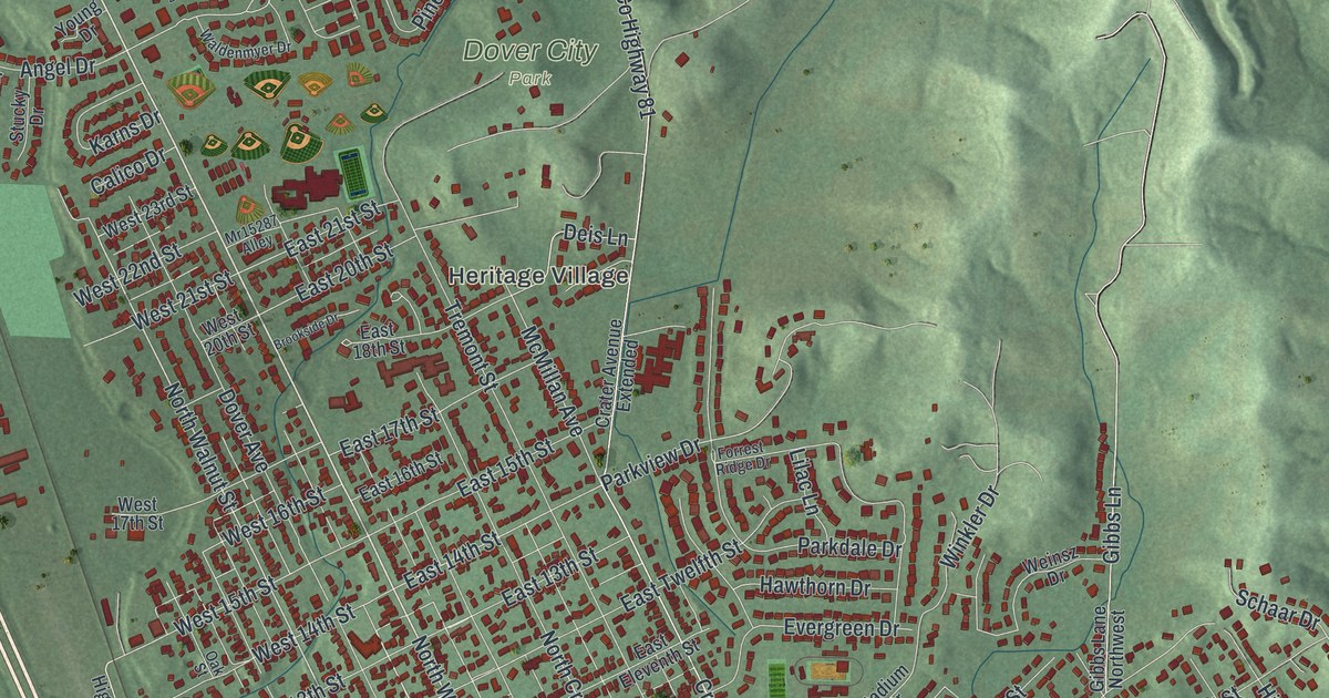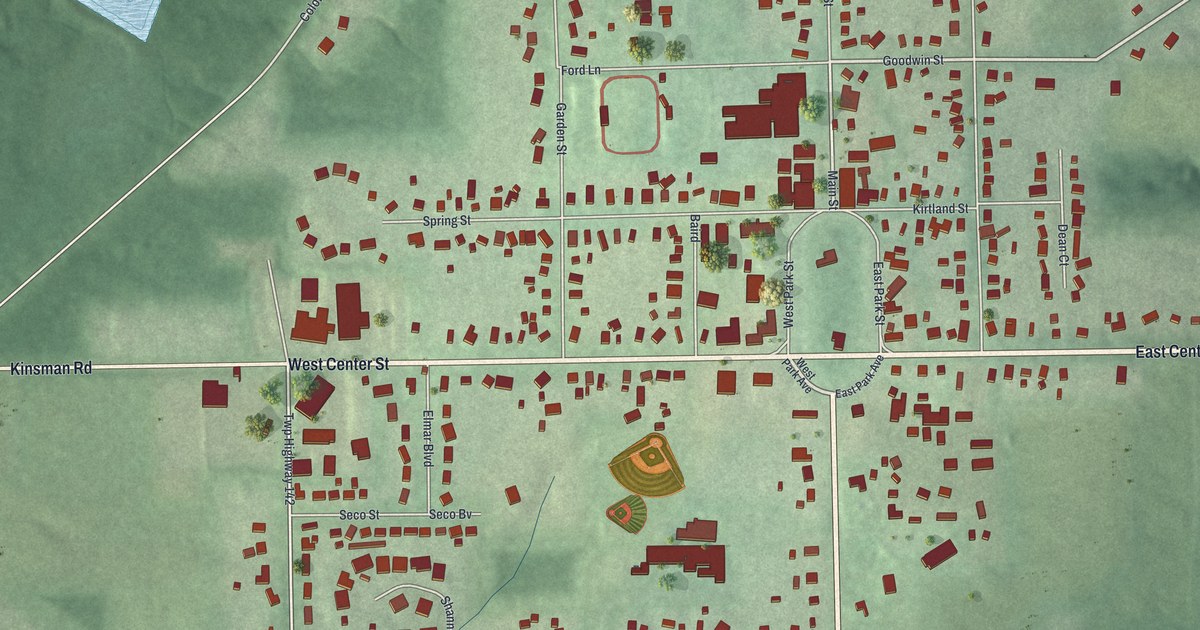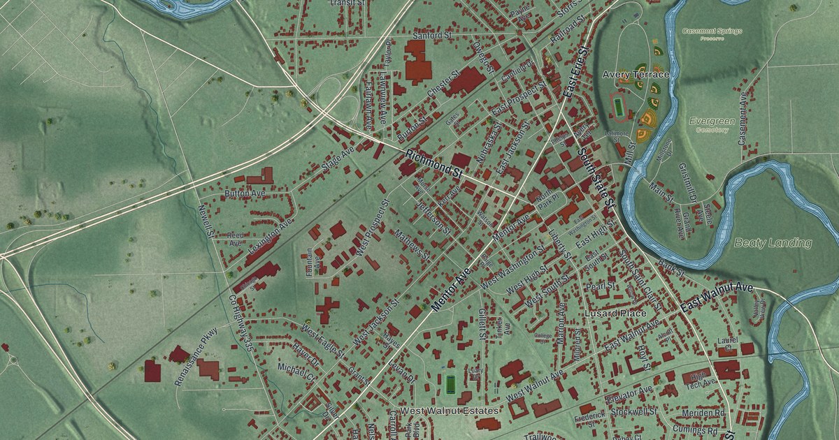
If you grew up in Painesville, studied at Lake Erie College, or still have family near Richmond Street, this map gives you a lot to find. It's a modern aerial view of Painesville in Lake County, Ohio, made from modern data and given a vintage artistic feel. More than 11,600 buildings are drawn in deep red on soft green land. A river winds down the right side of the sheet in blue, though it isn't labeled. The view runs from Orchard Grove and West Walnut Estates up to Casement Springs Preserve. Explore the print options for Painesville.
Richmond Street, Mentor Avenue and Main Street
Start in the middle of the sheet, where Richmond Street, Liberty Street and Mentor Avenue come together. Richmond Street runs north from there. It passes Chester Street and Skinner Avenue on its way up to Sanford Street. Mentor Avenue goes the other way. It heads southwest past Jefferson Street and Nelson Street, then on past West Walnut Estates and Orchard Grove near the bottom. Liberty Street runs south past Lusard Place to Bank Street, which carries on toward Cumings Road. Now go back to the middle and follow Main Street east. Near the river it meets Casement Avenue, which runs north past Evergreen Cemetery. Casement Springs Preserve is printed just above it. Beaty Landing sits beside a wide bend in the river. Many roads are named, and each red shape is a building, so zoom in on the preview and look for yours.
The 1893 depot on Railroad Street
Up near the top of town, Elm Street passes Avery Terrace and meets Railroad Street. The railroad reached Painesville in 1851, with track and a depot. Ten years later, on February 16, 1861, Abraham Lincoln arrived in Painesville. He'd just been elected president and was on his way to his inauguration in Washington. The station on Railroad Street came later. The Lake Shore and Michigan Southern Railway built it in 1893 to replace the first depot. It went up with sandstone walls and a slate roof. Inside were red oak, marble and hanging chandeliers. The Ohio historical marker at the depot says it was considered the jewel of Painesville. The last passenger train left the Painesville yard in 1971. The depot isn't labeled on the map, so find Railroad Street where it meets Elm Street and look there.
The old houses on Mentor Avenue
Back in the middle of town, Mentor Avenue is lined with old houses. The Mentor Avenue Historic District has fifty-four buildings, and it was added to the National Register in 1979. Jonathan Goldsmith, a master builder who died in 1847, built at least two of them. The Sessions House at 157 Mentor Avenue and the Smead House at 187 are also listed on their own. At 143 Mentor Avenue, Thomas W. Harvey wrote A Practical Grammar of the English Language. It first came out in 1868. For more than fifty years, children in schools across the Midwest learned from Harvey's Grammar. Painesville's high school is named for him. None of these houses are labeled. Start where Mentor Avenue meets Liberty Street, where the district's marker stands beside City Hall, and follow the avenue southwest.
From Richmond Street to Evergreen Cemetery
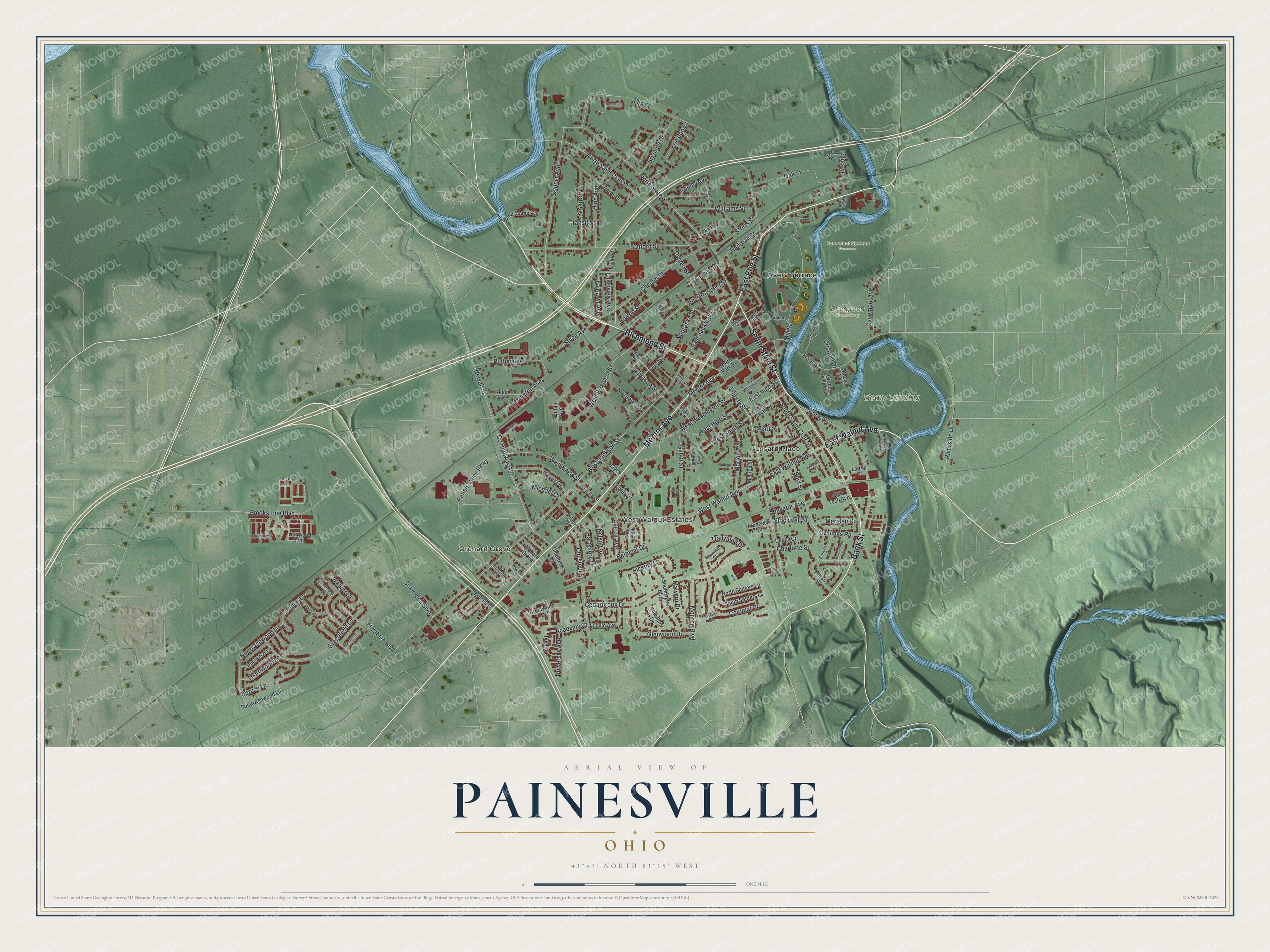
Created by KNOWOL in 2026, this Painesville map is shaded in soft green, with the river in blue and the buildings in deep red. The hills come from USGS elevation data. Along the river on the right side, the shading turns dark where the banks drop off steeply. The title panel reads "Aerial View of Painesville, Ohio" with 41°43' North, 81°15' West and a one-mile scale bar.
It fits a front hall, a home office or a family room. It's a good gift for a Lake Erie College graduate, or for someone who grew up in Painesville and moved away. Open the preview, zoom in and find the block you know. Shop the Painesville, Ohio map.