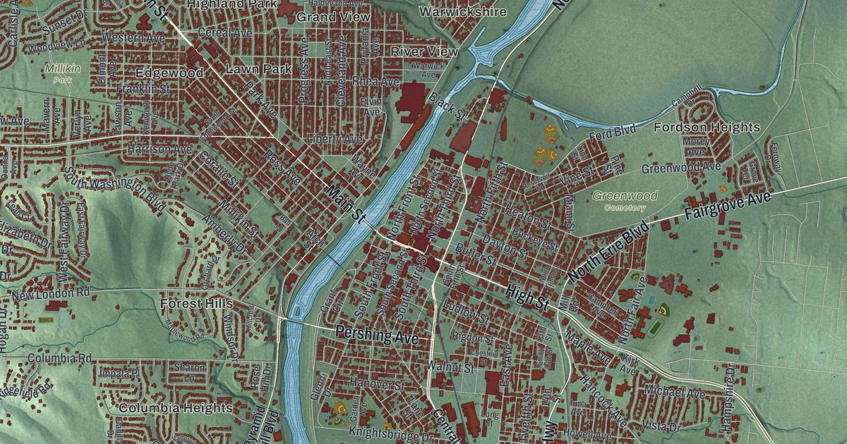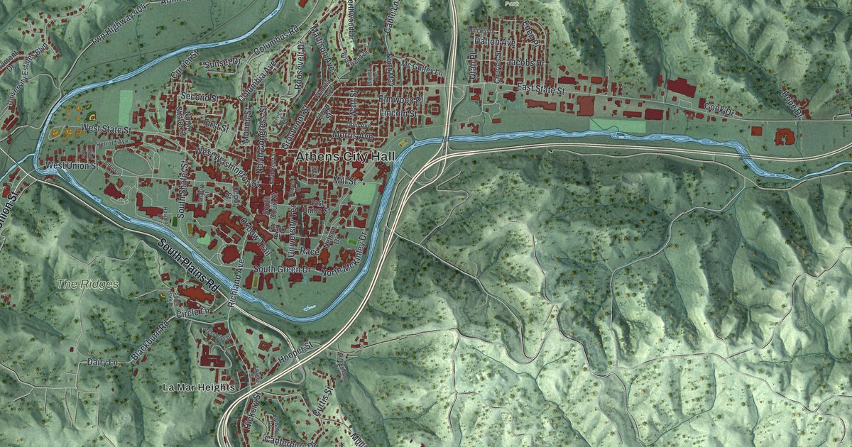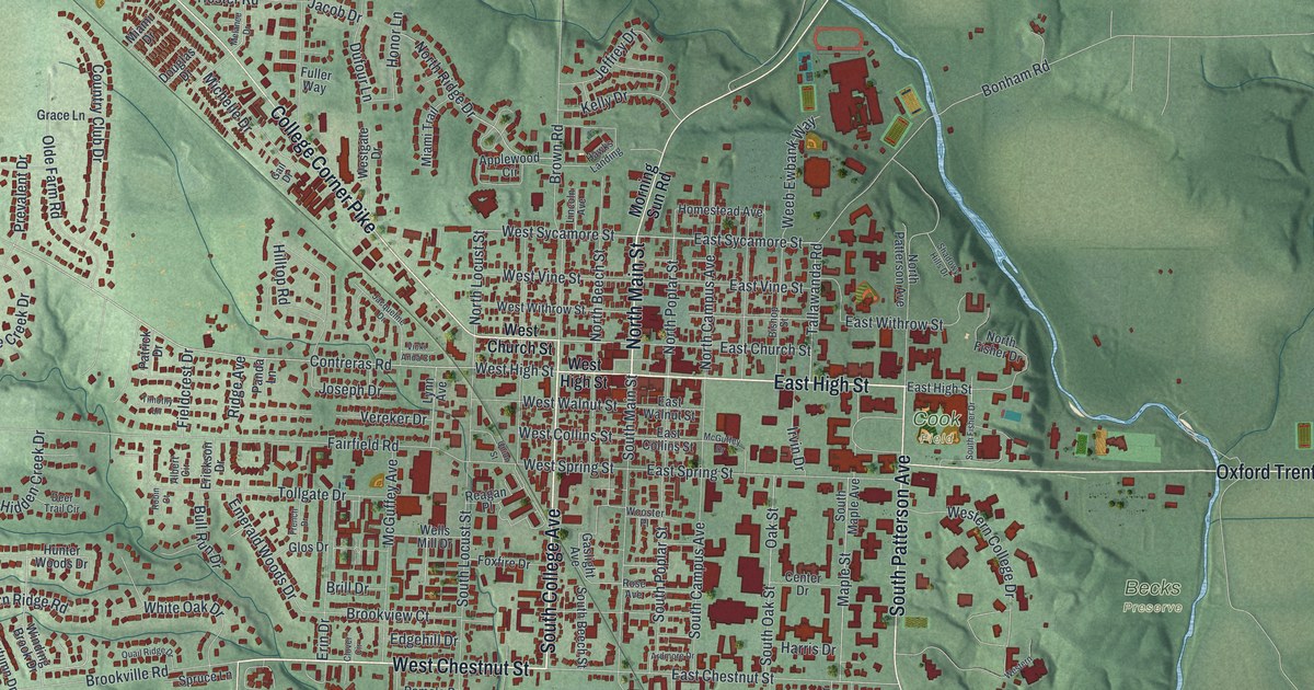
If you went to Miami University, grew up in Oxford or have family on these streets, this map gives you a lot to find. It's a modern aerial view of Oxford in Butler County, Ohio, made from modern data and given a vintage look. More than 5,000 buildings are drawn in dark red on soft green hills. The view runs from Ringwood Road in the top left corner to College Woods near the bottom right, with a creek winding down the east side. Explore the print options for Oxford.
From North Main Street to College Woods
Start in the middle of town, where North Main Street crosses High Street. Just to the north, West Church and East Church Streets run the same way as High. Now head east on East High Street. Past Cook Field, the road is printed as Oxford Trenton Road, and it crosses a winding creek that isn't labeled. Go back to Cook Field and turn south on South Patterson Avenue, with Becks Preserve off to the east. Farther down, Oxford Millville Road angles toward the bottom right. Oxford Cemetery and Peffer Woods sit just west of it, and Western Woods is to the east. Near the bottom it meets University Park Drive and Southpointe Parkway, beside College Woods. On the other side of town, College Corner Pike runs up to the top left, out past Ringwood Road and Todd Road. Many roads are labeled, and each red shape is a building, so zoom in on the preview and look for yours.
How the McGuffey Readers started on East Spring Street
In 1836, William Holmes McGuffey was teaching at Miami University. That year, in his house on East Spring Street, he put together the first McGuffey Eclectic Reader. The Readers taught reading and spelling with memorable stories about honesty, hard work and thrift. There were six of them, and each one was harder than the last. His brother Alexander helped make them. After the Civil War, they were the basic schoolbooks in 37 states. By 1920 they'd sold about 122 million copies, according to the historical marker at the house.
The map doesn't mark the McGuffey house, but East Spring Street is printed just south of downtown. Follow it east from the Main Street area toward South Patterson Avenue, and the house sits along that stretch. A short walk away, Lorenzo Langstroth lived on Patterson Avenue from 1858 to 1887. He's known as the Father of American Beekeeping, and he shipped his queen bees to keepers around the world. McGuffey's name is on the map too. McGuffey Avenue runs off Fairfield Road in the neighborhoods on the west side of town.
For anyone who knows High Street in Oxford
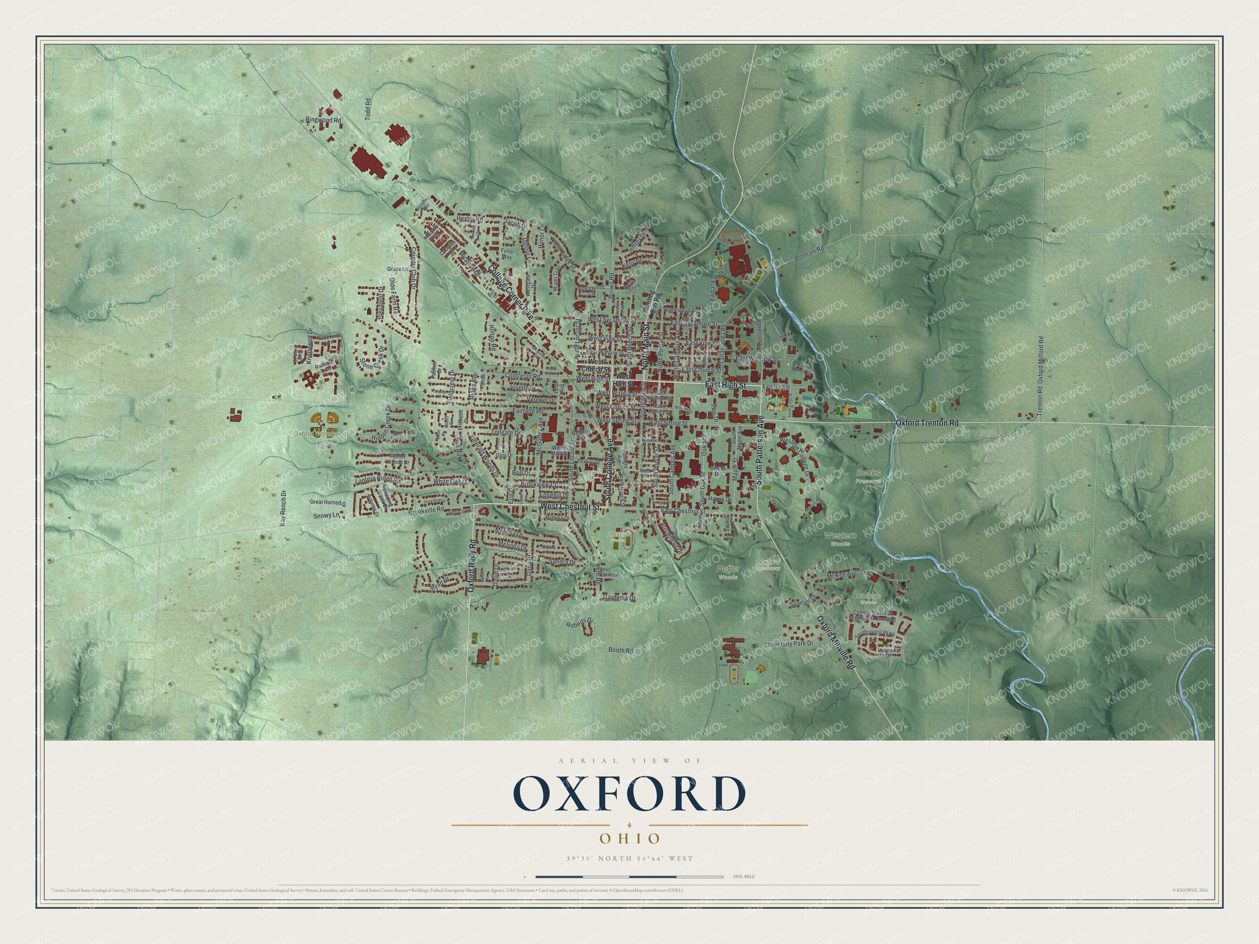
Created by KNOWOL in 2026, this Oxford map shows the hills in shaded green from USGS elevation data, with buildings in deep red and the creek in blue. The title panel reads "Aerial View of Oxford, Ohio," with the coordinates 39°30' North, 84°44' West and a one-mile scale bar.
It suits an office, a den or a kitchen wall. It's a thoughtful gift for a Miami graduate, someone who grew up in Oxford, or family who moved away. Open the preview, zoom in and find the streets you know. Shop the Oxford, Ohio map.