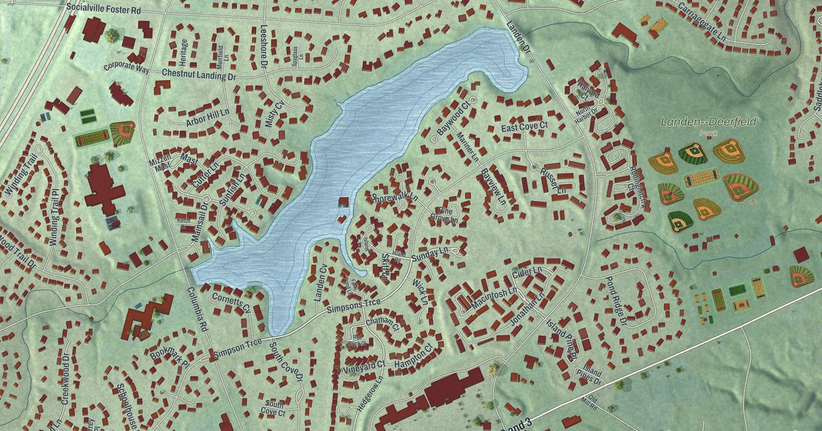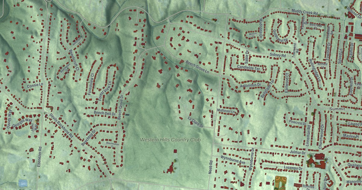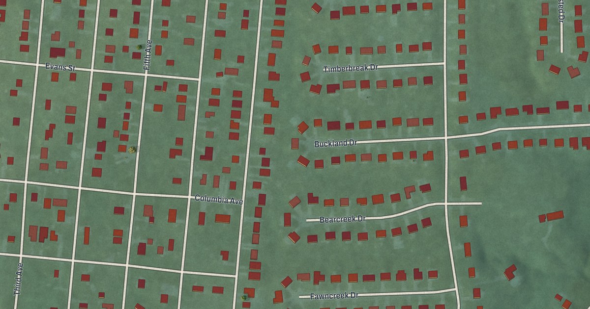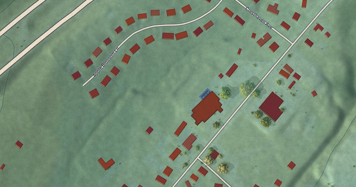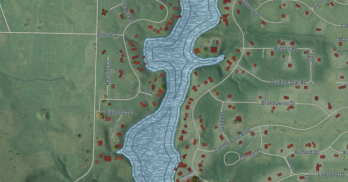
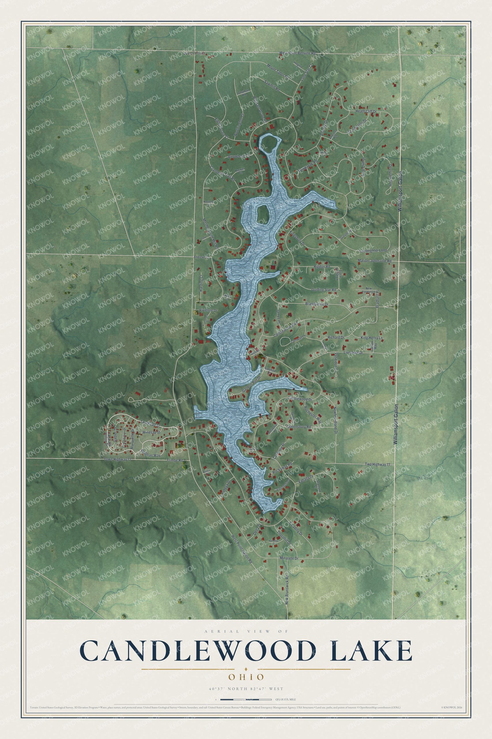
This beautifully detailed map of Candlewood Lake, Ohio was created in 2026 using aerial imagery combined with modern topographical, census, street and landmark data. It's a modern aerial view of Candlewood Lake in Morrow County, Ohio, that combines modern data with a vintage aesthetic. The roads feature printed names, and if you look closely you can find your exact house accurately shown in its correct location.
Explore an aerial view of Candlewood Lake, Ohio
On this map you'll find West Point, Williamsport-Galion, Redman Way, Twp Road 77, Bradford Place, Candlewood Drive, West Point-Galion Road, Minarete Drive, West Point-Bellville Road, Briar Cliff Drive, Lamplighter Loop, Trimbe Road, and more. Each red shape is a building, so zoom in on the preview and look for yours.
Candlewood Lake is a community in Morrow County. The Census Bureau counted 1,329 people here in 2020. Candlewood Lake sits about 5 miles north of Hidden Lakes, 5 miles southeast of Iberia and 5 miles northeast of Mount Gilead. The map prints the town name in its title panel, with the coordinates below it.
Take a closer look at the Candlewood Lake map
Names on this map
These names are printed on this map.
Places: West Point.
Streets and roads: Williamsport-Galion, Redman Way, Twp Road 77, Bradford Place, Candlewood Drive, West Point-Galion Road, Minarete Drive, West Point-Bellville Road, Briar Cliff Drive, Lamplighter Loop, Trimbe Road, Candlewood Boulevard.
More street names, A to Z
Ambrose Way, Andrews Court, Arrowhead Court, Atlantic Drive, Beck Court, Bostonia Place, Bounty Court, Brandywine Drive, Brewer Court, Centralia Place, Chanticleer Drive, Constitution Drive, Cook Court, Cornwall Lane, Cranberry Trail Road, Deerpath Way, Delta Drive, Eight Square Court, Francesca Court, Gables Drive, Galahad Court, Galleon Run Drive, Griffin Place, Guiding Star Road, Harding Court, Hastings Place, Heath Cliff Drive, Imogene Court, James Place, Jonathan Road, King Henry Lane, Kingsbury Drive, Liverpool Drive, London Way, Lone Star Court, Marion-Johnsville Road, Marquette Drive, Michael Court, Mosher South Mill Road, Mount Tabor Road, New Brunswick Road, New Forest Lane, Newfoundland Drive, Northmor Court, Pembrook Road, Picadilly Drive, Pleasant Grove Road, Poseidon Lane, Queensbury Road, Queens Place, Quincy Court, Richard Drive, Rigdon Road, Rochester Way, Rockaway Road, Sawmill Road, Spinnacre Place, Staffordshire Drive, Stanford Court, Sugar House Lane, Taladega Drive, Tamarack Hollow Drive, Thornhill Drive, Town Highway 77, Twp Highway 77, Vahalla Drive, Vivienne Drive, Waldemar Court, Winesap Street, Worthington Court.
See it on a wall
The Candlewood Lake map as a framed print. Swipe for more.


Created by KNOWOL in 2026. The buildings are small red shapes, the roads carry their printed names, and shaded relief shows the shape of the land. The title panel reads "AERIAL VIEW OF CANDLEWOOD LAKE, OHIO" with 40°37' NORTH 82°47' WEST.
It suits a den, a classroom or a front hall, and it makes a gift for anyone with Candlewood Lake roots. Open the preview and find the block you know. See sizes and frames for the Candlewood Lake map.