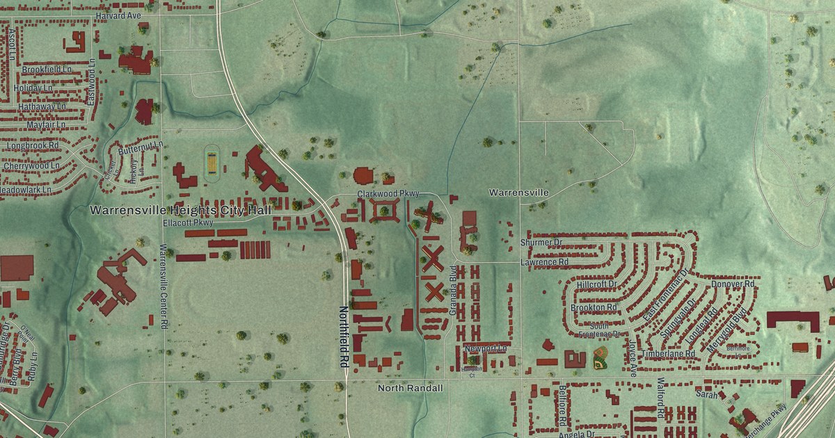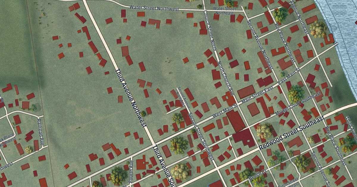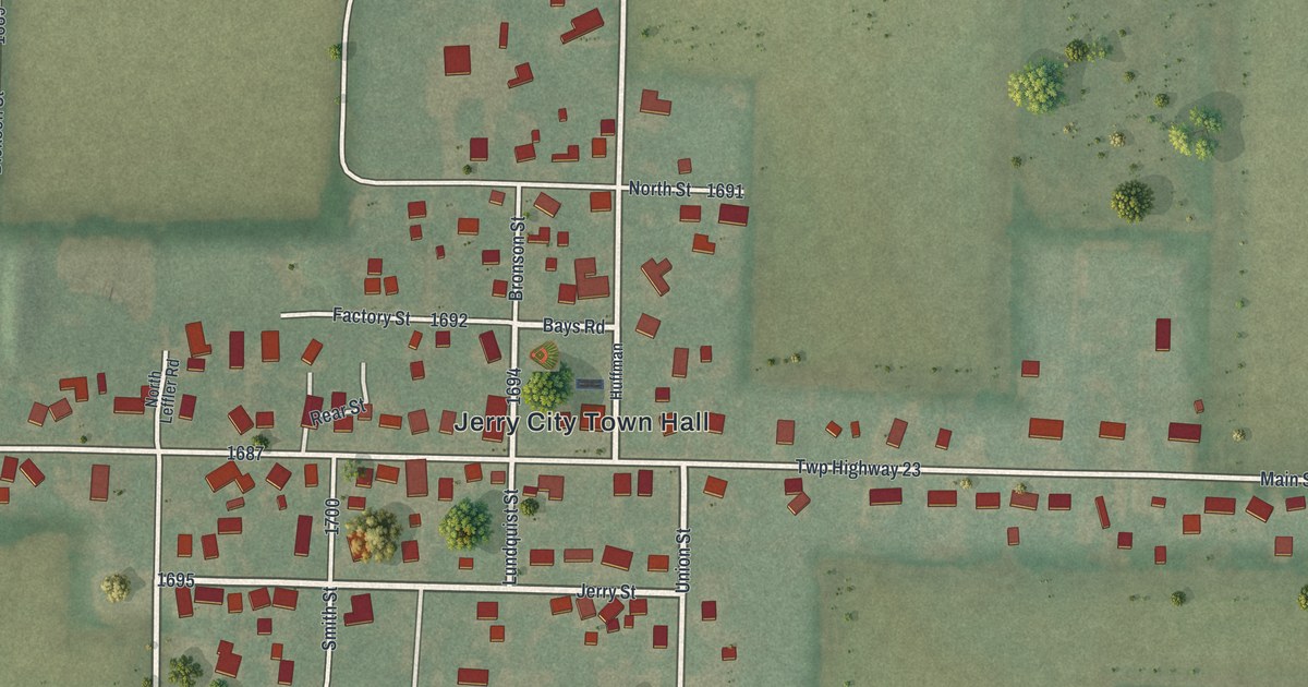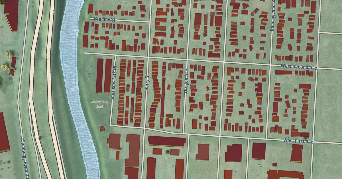
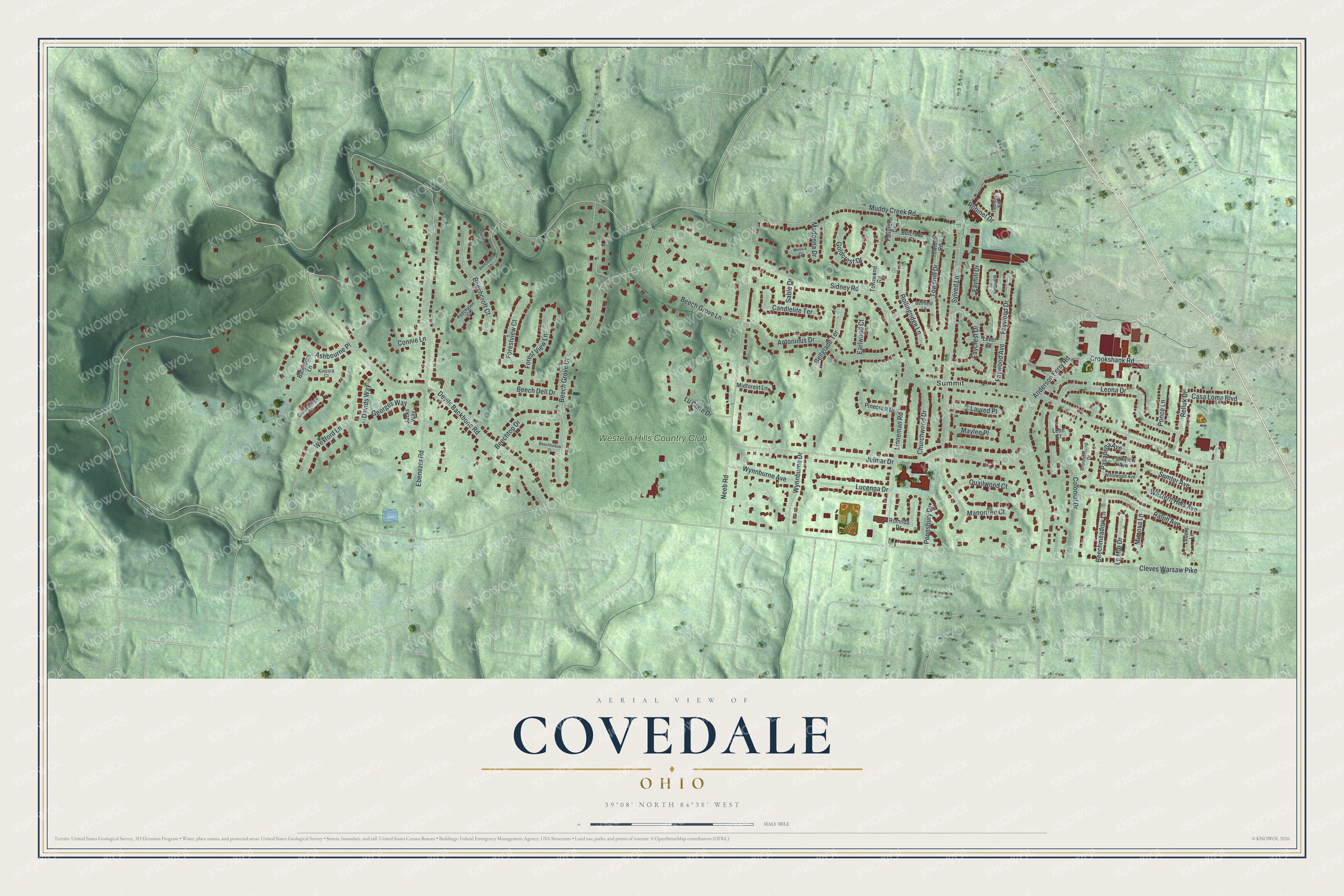
This beautifully detailed map of Covedale, Ohio was created in 2026 using aerial imagery combined with modern topographical, census, street and landmark data. It’s a one-of-a-kind view of Covedale that combines accurate data with a vintage aesthetic. The map shows every building in its true location, many of the roads carry their names, and the shaded topographic relief shows the shape of the land.
Explore an aerial view of Covedale, Ohio
On the map you’ll find Summit and Western Hills Country Club, along with Muddy Creek Road, Cleves Warsaw Pike, Sidney Road, Devils Backbone Road, Ebenezer Road, Neeb Road, Sylved Lane, Julmar Drive, Beech Grove Drive, Anderson Ferry Road, and more. If you look closely you can even find your house accurately drawn in its correct location. Zoom in on the preview to look for yours.
Did you know this piece of Covedale, Ohio history?
From Green Township in Hamilton County: "Covedale was established on the border of Delhi and Green Townships in the 1920s as development of Cincinnati expanded westward. A large portion of Covedale was annexed by the city in 1930."
Take a closer look at the Covedale map
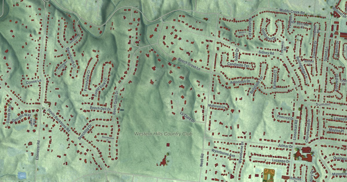
Street and place names on the Covedale, Ohio map
These names are printed on the map of Covedale, Ohio.
Places: Summit and Western Hills Country Club.
Streets and roads: Muddy Creek Road, Cleves Warsaw Pike, Sidney Road, Devils Backbone Road, Ebenezer Road, Neeb Road, Sylved Lane, Julmar Drive, Beech Grove Drive, Anderson Ferry Road, Leona Drive, Antoninus Drive.
More street names, A to Z
Ashbourne Place, Ballymore Lane, Beechcreek Lane, Beechcroft Court, Beech Dell Drive, Beechglen Court, Beech Grove Lane, Beechhollow Court, Beechmeadow Lane, Beechtop Drive, Belcross Court, Bellfield Lane, Bellglade Terrace, Brunnerwood Drive, Candlelite Terrace, Casa Loma Boulevard, Castlebridge Court, Churchwood Drive, Colonial Drive, Connie Lane, Crookshank Road, Davids Way, Earlwood Court, Fairgreen Drive, Faycrest Drive, Fayhill Drive, Faywood Avenue, Faywood Drive, Forestview Court, Forest View Lane, Georges Way, Goldcrest Drive, Jacks Way, Kincora Court, Laured Place, Leders Lane, Le Mar Drive, Leon Court, Lever Court, Linneman Road, Lourdes Lane, Lucenna Drive, Lu Clare Drive, Madonna Drive, Manortree Court, Maylee Place, Midforest Lane, Mimosa Lane, Monica Court, Parkview Avenue, Pasadena Avenue, Pennsbury Drive, Pinecrest Drive, Ponce Lane, Quailwood Court, Ralph Avenue, Relluk Drive, Robinet Drive, Rollingridge Lane, Romilda Drive, Sable Drive, Sumter Avenue, Townhill Drive, Townhill Road, Townsend Road, Western Hills Avenue, Wexford Lane, Willowood Avenue, Woodmere Court, Wynnburne Avenue, Wynnburne Drive.
See the Covedale, Ohio map on a wall
The Covedale map as an 18 x 24 inch print in a black frame.

This beautifully detailed map of Covedale makes an attractive addition to your office, library, or den, and it can even be used to teach children the geography and history of the area. It also makes a great gift for anyone with Covedale roots. When you’re done exploring, click here to get your copy of the Covedale map.