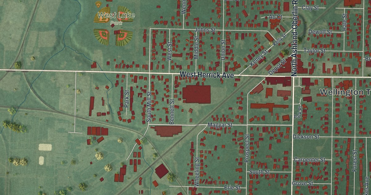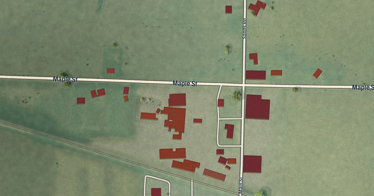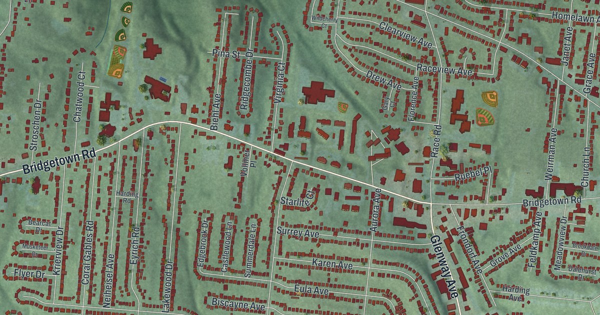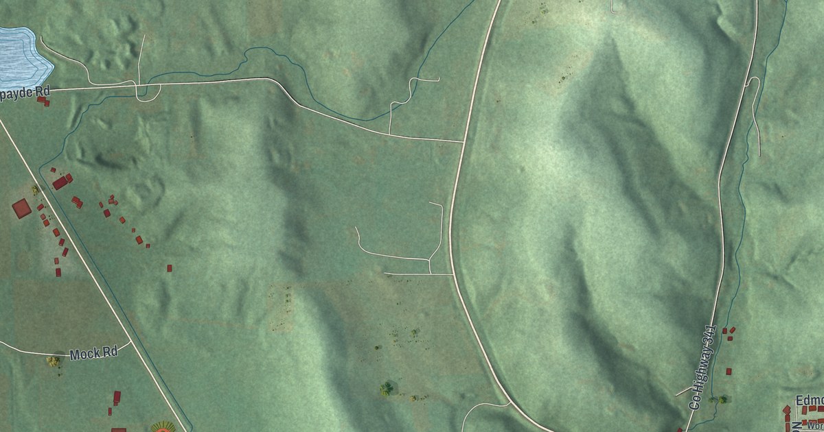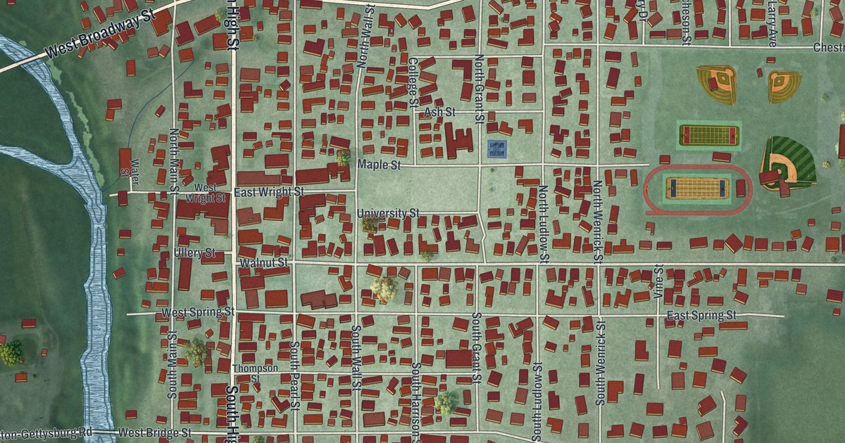
If you grew up in Covington, here's a view of home to keep close. This modern aerial view of Covington in Miami County, Ohio, uses modern data with a vintage feel. Red buildings fill the town's blocks, while blue waterways wind through green land. You can pick out the park and the streets around it.
Covington's streets and community park
On this map you'll find North High Street, South High Street, East Broadway Street, West Broadway Street, Covington Community Park, North Main Street, South Main Street, East Troy Pike, Troy Avenue, West Bridge Street, East Spring Street, Maple Street, and more. Each red shape is a building, so zoom in on the preview and look for yours.
Covington sits near a meeting of waters. The 1880 History of Miami County describes Greenville Creek's winding path through Newberry Township. It flows northeast, bends southeast, then turns again. The creek empties into the Stillwater near Covington. On the print, blue waterways run through the town's red buildings, and you'll find Covington Community Park among the streets.
The blue waterways bend against the green land, with blocks of red buildings beside open ground.
The Covington print and its Community Park
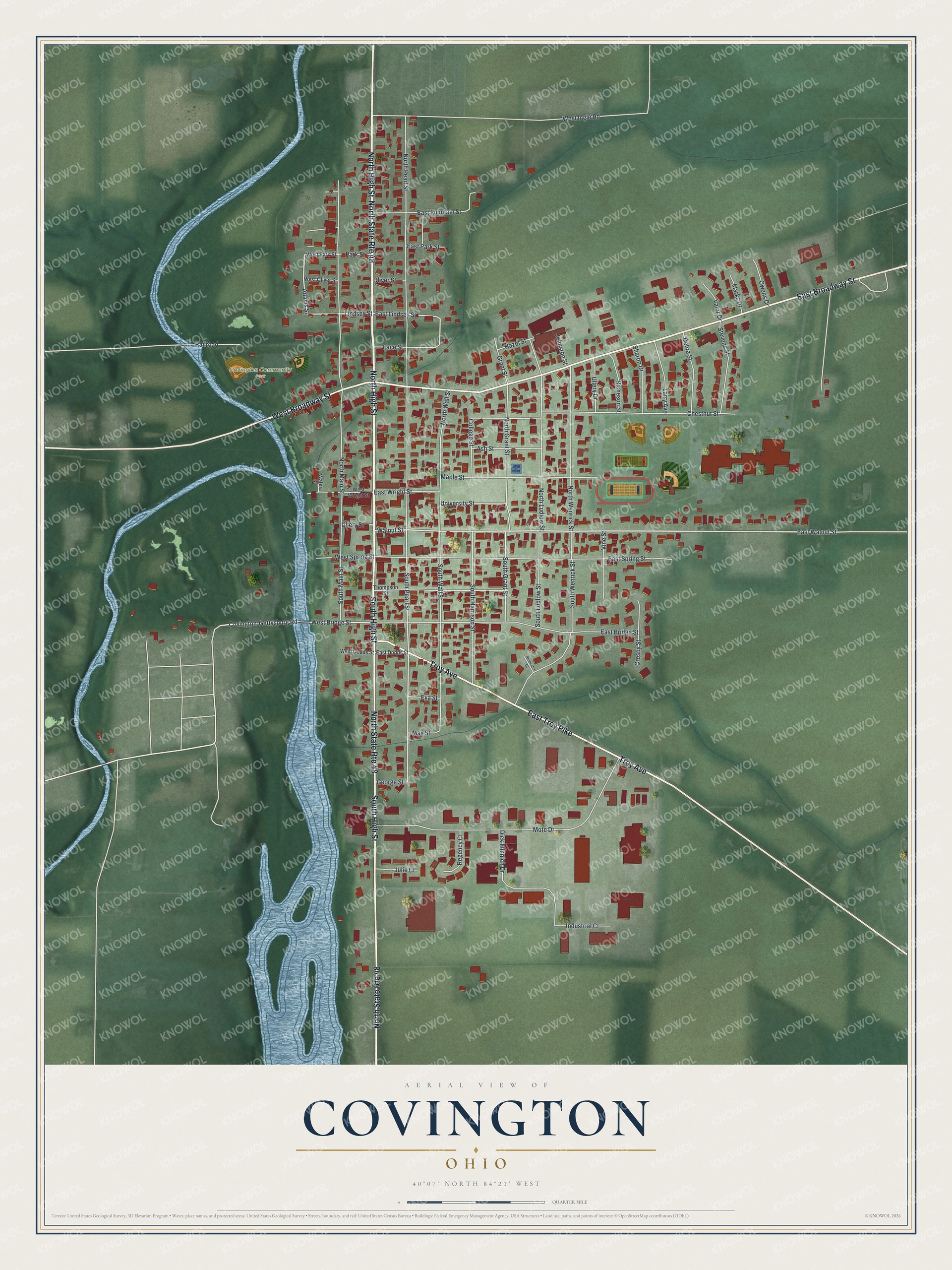
Created by KNOWOL in 2026, this print pairs green terrain, blue water, red buildings, and pale roads with a cream border. The title panel reads AERIAL VIEW OF, COVINGTON, OHIO, and 40°07' NORTH 84°21' WEST.
It suits a living room, office, or entryway where home has a place. It's a gift for someone with family on North High Street or memories of Covington Community Park. Open the preview to find a familiar block and take a closer look. See sizes and frames for the Covington map.