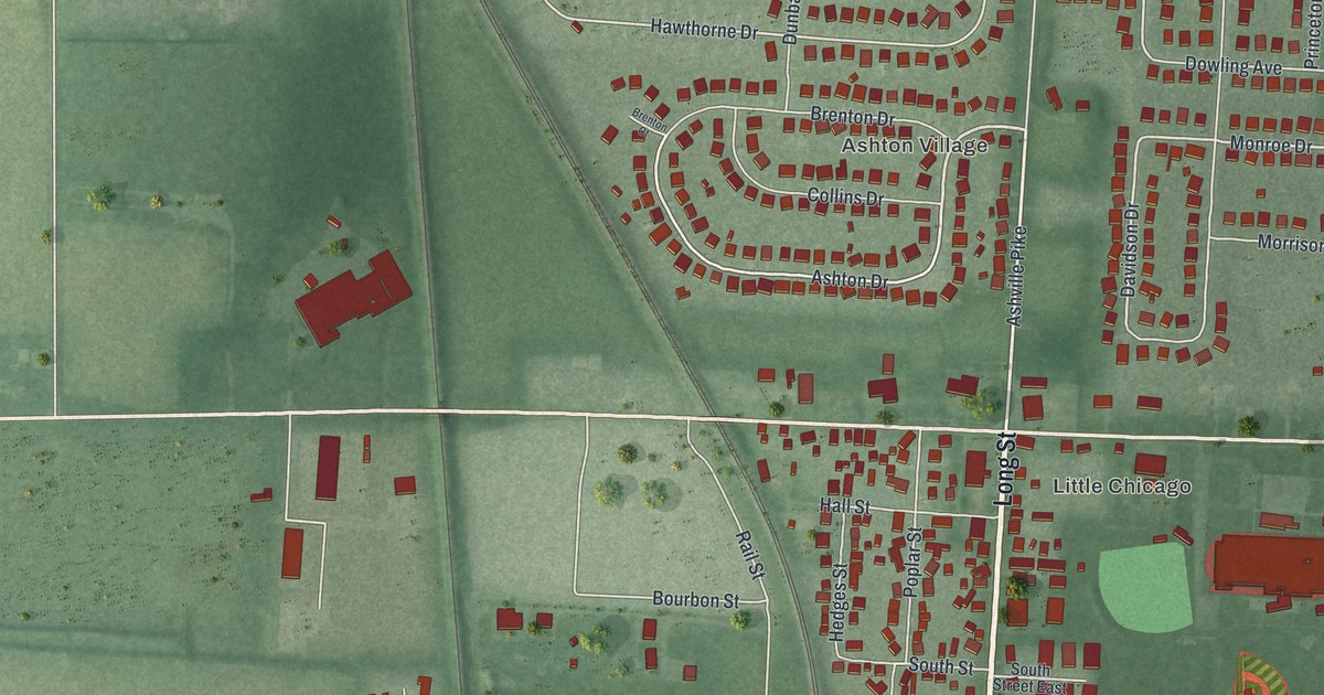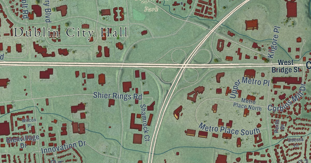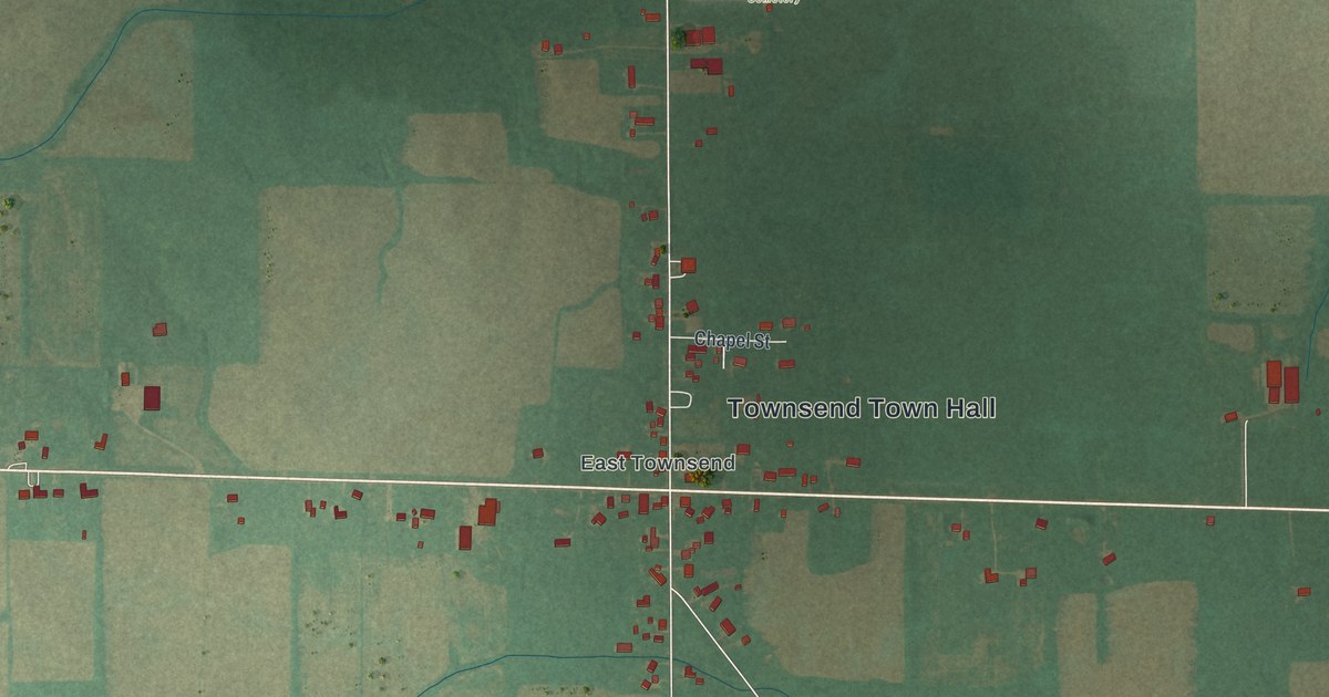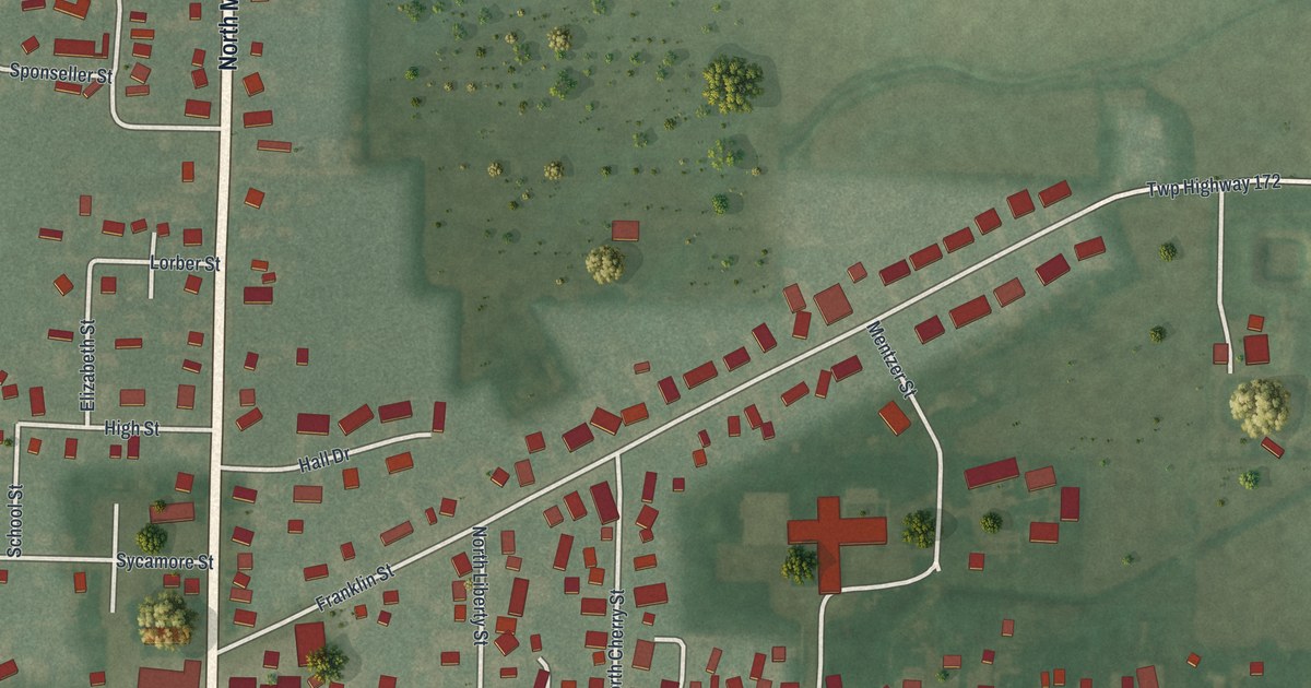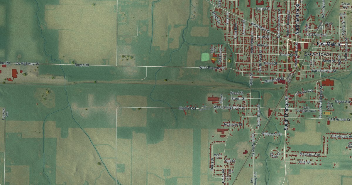
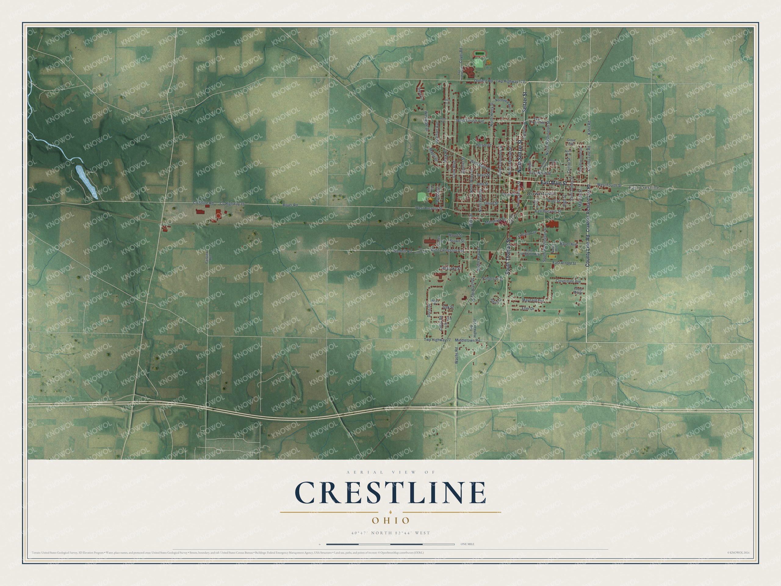
This beautifully detailed map of Crestline, Ohio was created in 2026 using aerial imagery combined with modern topographical, census, street and landmark data. It’s a one-of-a-kind view of Crestline that combines accurate data with a vintage aesthetic. The map shows every building in its true location, many of the roads carry their names, and the shaded topographic relief shows the shape of the land.
Explore an aerial view of Crestline, Ohio
On the map you’ll find Downtown and East Crestline, along with East Main Street, North Seltzer Street, South Thoman Street, Seltzer Street, County Line Road, West Main Street, Kahn Road, West Thrush Avenue, West Livingston Avenue, North Washington Street, and more. If you look closely you can even find your house accurately drawn in its correct location. Zoom in on the preview to look for yours.
Did you know this piece of Crestline, Ohio history?
Crestline began as a railroad station placed halfway between Shelby and Galion. Early settlers believed the town sat on the state’s watershed. Streams to its north flowed to Lake Erie, and those to the south reached the Ohio River. The town was really just north of the divide, but the name Crestline stuck.
Take a closer look at the Crestline map
Street and place names on the Crestline, Ohio map
These names are printed on the map of Crestline, Ohio.
Places: Downtown and East Crestline.
Streets and roads: East Main Street, North Seltzer Street, South Thoman Street, Seltzer Street, County Line Road, West Main Street, Kahn Road, West Thrush Avenue, West Livingston Avenue, North Washington Street, Mansfield Street, South Pearl Street.
More street names, A to Z
Anna Avenue, Ash Street, Bauer Avenue, Bauer Court, Bibich Court, Boyer Road, Brown Street, Cedar Mill Drive, Center Street, Clink Boulevard, Cloverdale Avenue, Colby Road, County Highway 35, Coyer Road, Crawford-Richland Line Road, Crestline Road, Crestline Street, Cross Street, Davis Street, Doris Drive, Dove Lane, East Arnold Street, East Bucyrus Street, East Livingston Avenue, East North Street, East Thrush Avenue, Elm Street, Emmet Street, Etler Drive, Fairview Avenue, Gearhart Avenue, Gledhill Road, Grimes Street, Grove Avenue, Heiser Court, Helen Avenue, High Street, John Street, Lincoln Avenue, Maple Drive, Marquis Street, Maynard Avenue, Meadowood Ests, Mick's Place, Middletown Road, North Columbus Street, North Drive, North Henry Street, North Pearl Street, North Pierce Street, North Thoman Street, Northview Avenue, North Wiley Street, Oak Street, Oldfield Road, Park Road, Patterson Street, Railroad Avenue, Reindl Drive, Roanoke Street, Saint James Street, Scott Street, South Seltzer Street, South Washington Street, South Wiley Street, Thrush Avenue, Twp Highway 77, Twp Highway 167, Twp Highway 173, Twp Highway 232, Union Street, Valley Avenue, Wachs Road, West Avenue, West Bucyrus Street, West Fourth Street, Westgate Drive, Wiley Street, Wood Street.
See the Crestline, Ohio map on a wall
The Crestline map as an 18 x 24 inch print in a black frame.

This beautifully detailed map of Crestline makes an attractive addition to your office, library, or den, and it can even be used to teach children the geography and history of the area. It also makes a great gift for someone who left Crestline and still calls it home. When you’re done exploring, click here to get your copy of the Crestline map.