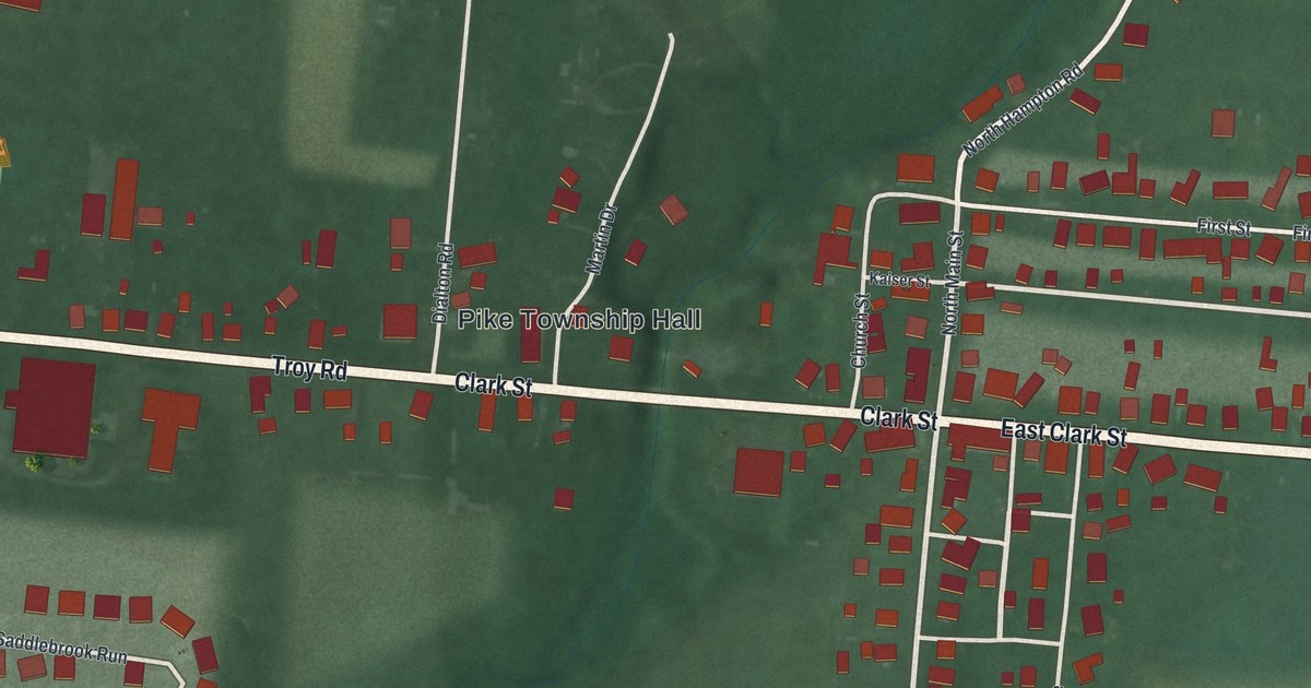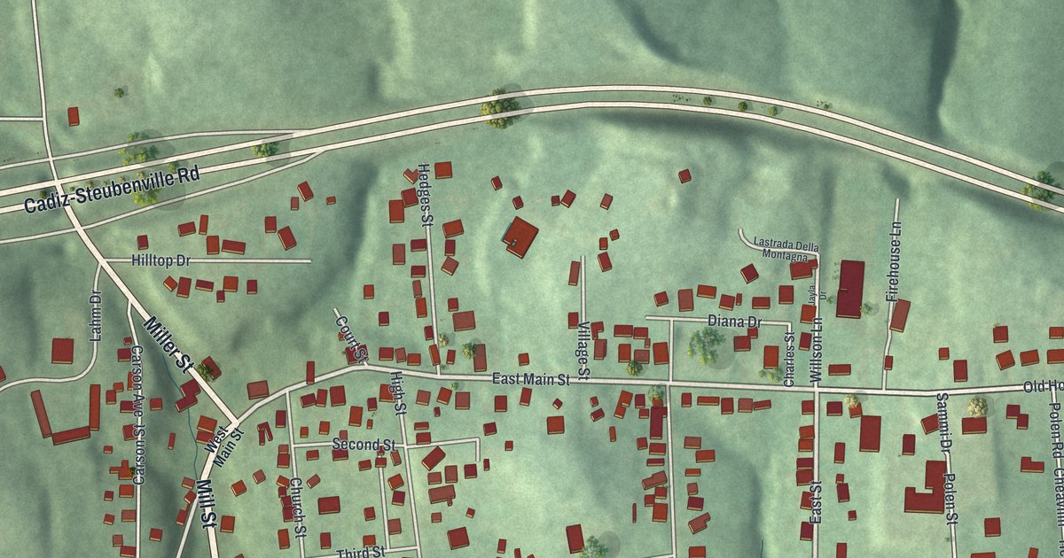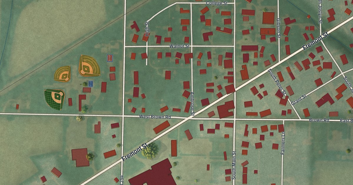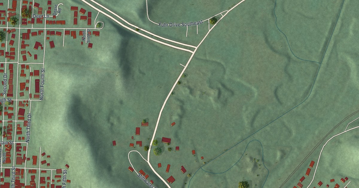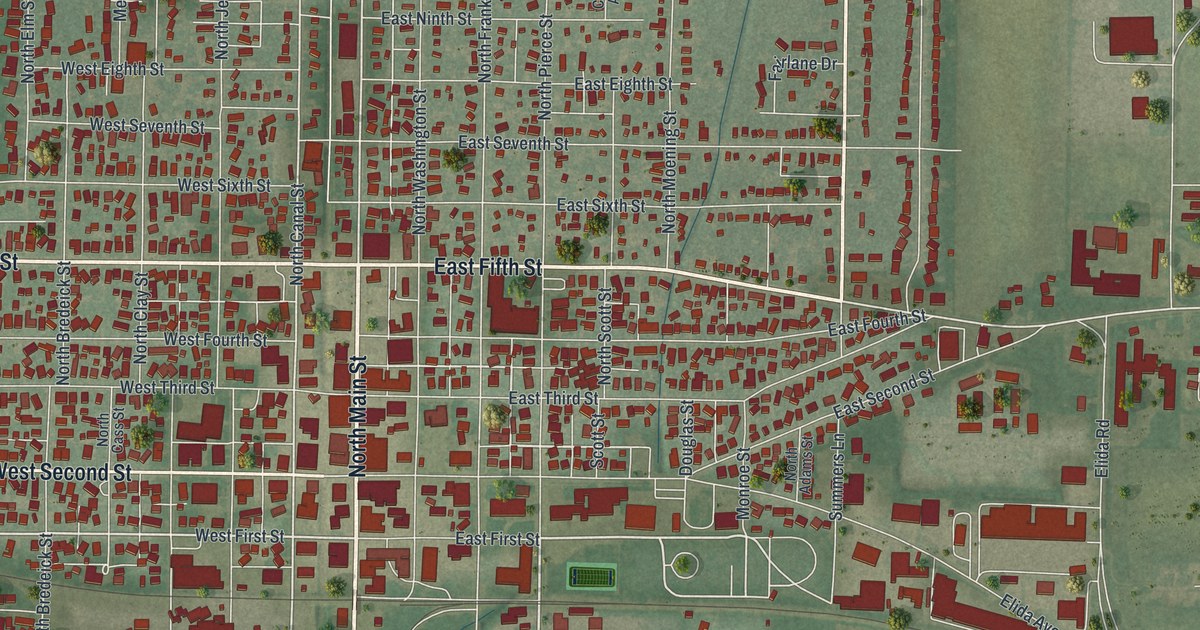
If you grew up in Delphos, look for your old block on this print. It's a modern aerial view of Delphos in Allen County, Ohio, made with modern data and a vintage feel. Red buildings fill the street grid, with green fields around the town.
Main Street and Canal Street in Delphos
On this map you'll find North Main Street, South Main Street, East Fifth Street, West Fifth Street, North Canal Street, South Canal Street, North Franklin Street, West Second Street, Elida Avenue, Spencerville Avenue, Ohio Street, and more. Each red shape is a building, so zoom in on the preview and look for yours.
The 1885 History of Allen County, Ohio includes the Miami & Erie Canal in its Delphos chapter. It also covers railroads and railroad shops. Delphos sat on the Miami & Erie Canal, and North Canal Street and South Canal Street are both printed on this map. The book notes that Delphos sits only 188 feet above the level of Lake Erie, while the Lima depot is at 263 feet.
St. John Catholic Church, at 110 N. Franklin St., is on the National Register of Historic Places (listed 1980), and North Franklin Street is printed on the map.
A Delphos print with North Main Street
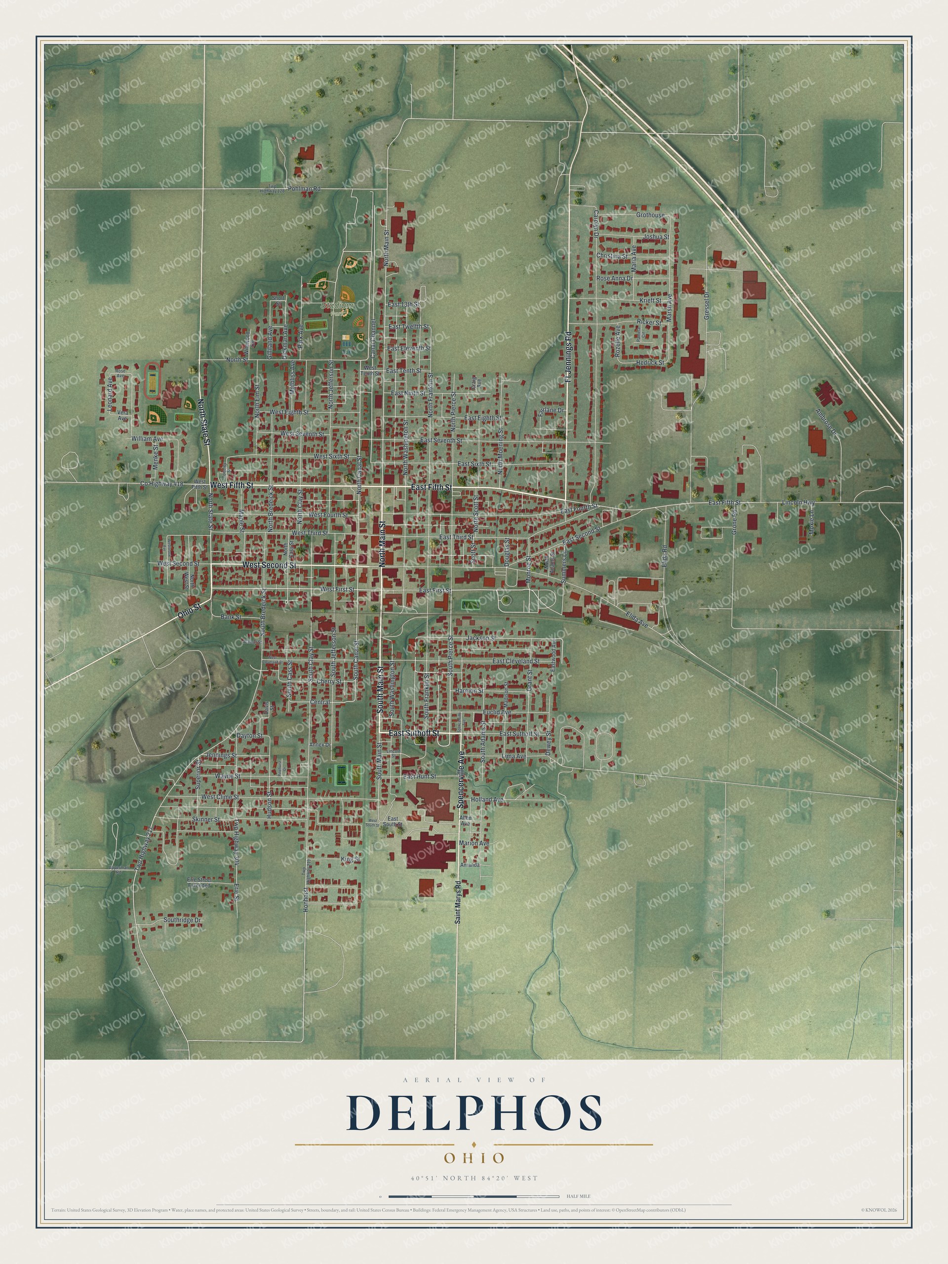
Created by KNOWOL in 2026, this print pairs green land, red buildings, and pale roads with a cream border. The title panel reads AERIAL VIEW OF DELPHOS, OHIO, with 40°51' NORTH 84°20' WEST below.
Hang it in a living room, office, or entryway to keep Delphos close. It's a gift for someone who grew up in Delphos or has moved away. Open the preview and look for the block that means home to you. See sizes and frames for the Delphos map.