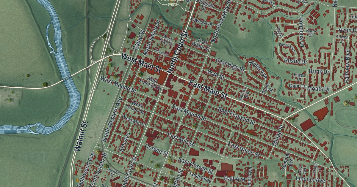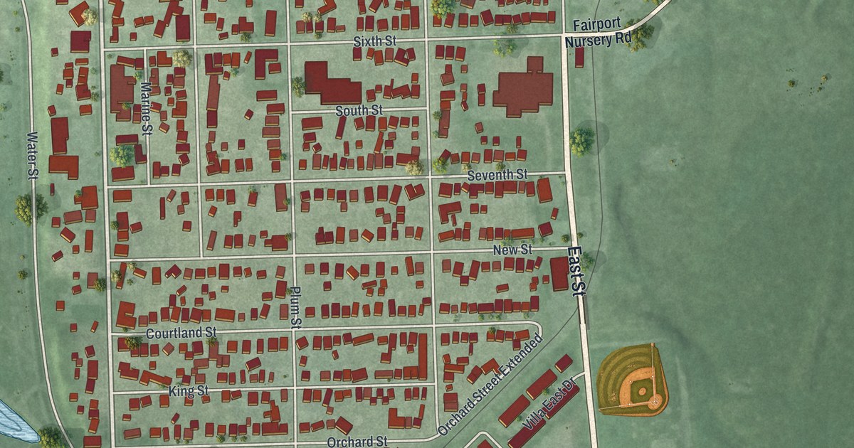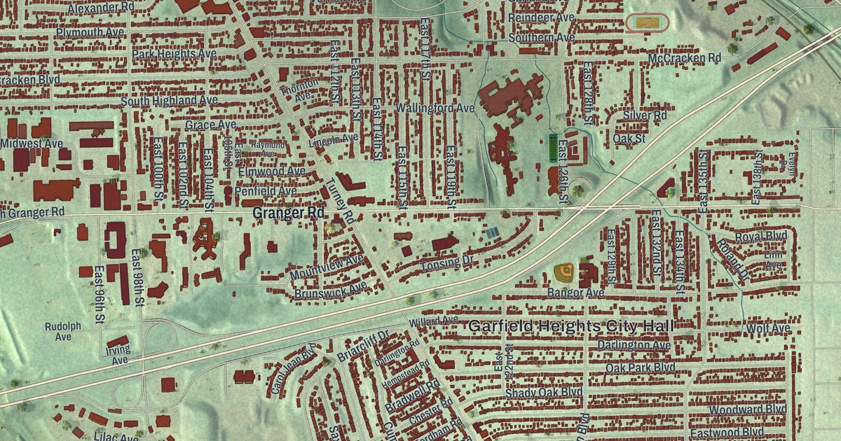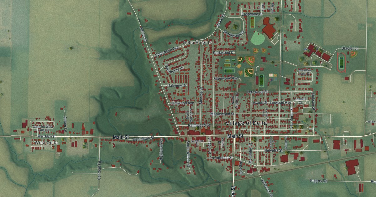
If you grew up in Delta, you'll have familiar streets to find here. This aerial view of Delta in Fulton County, Ohio, is built from modern data and given a vintage look. Red buildings fill the town's blocks, with green fields, blue water, and rail lines around them.
Main Street and Delta's Factory History
On this map you'll find Main Street, Airport Highway, West Main Street, South Madison Street, North Madison Street, Helvetia Street, Providence Street, Depot Street, Jefferson Street, Wood Street, West Delta, Delta Heights, and more. Each red shape is a building, so zoom in on the preview and look for yours.
Delta once made wood dishes, wagons, washing machines, and brooms. Henry Howe's Historical Collections of Ohio, published in 1891, lists the Delta Oval Wood Dish Company among the town's industries. It also names sawmills, a grist mill, brick and tile works, and three wagon and carriage shops. Farms surrounded the town, which stood on a railroad. You can still see the rail lines and fields around town on this map. Look across the blocks around Main Street and picture the range of work that filled this small town.
Keep Delta and Main Street Close
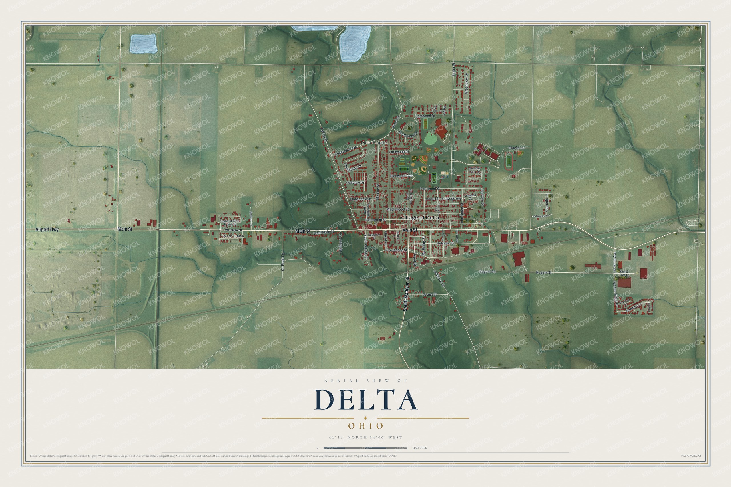
Created by KNOWOL in 2026, the print pairs soft green land and blue water with red buildings. A cream border surrounds the view. The title panel reads AERIAL VIEW OF, DELTA, OHIO, and 41°34' NORTH 84°00' WEST.
Hang it in a living room, office, or entryway to keep home close. It's a warm gift for someone who grew up near Main Street or has family in West Delta. Open the preview and look for the block you know best. See sizes and frames for the Delta map.