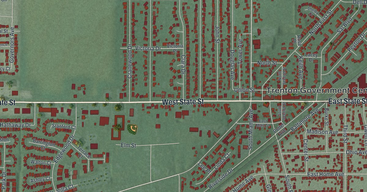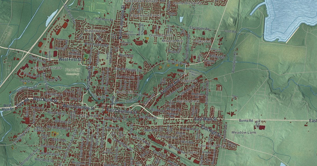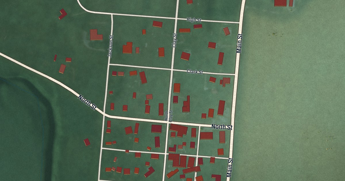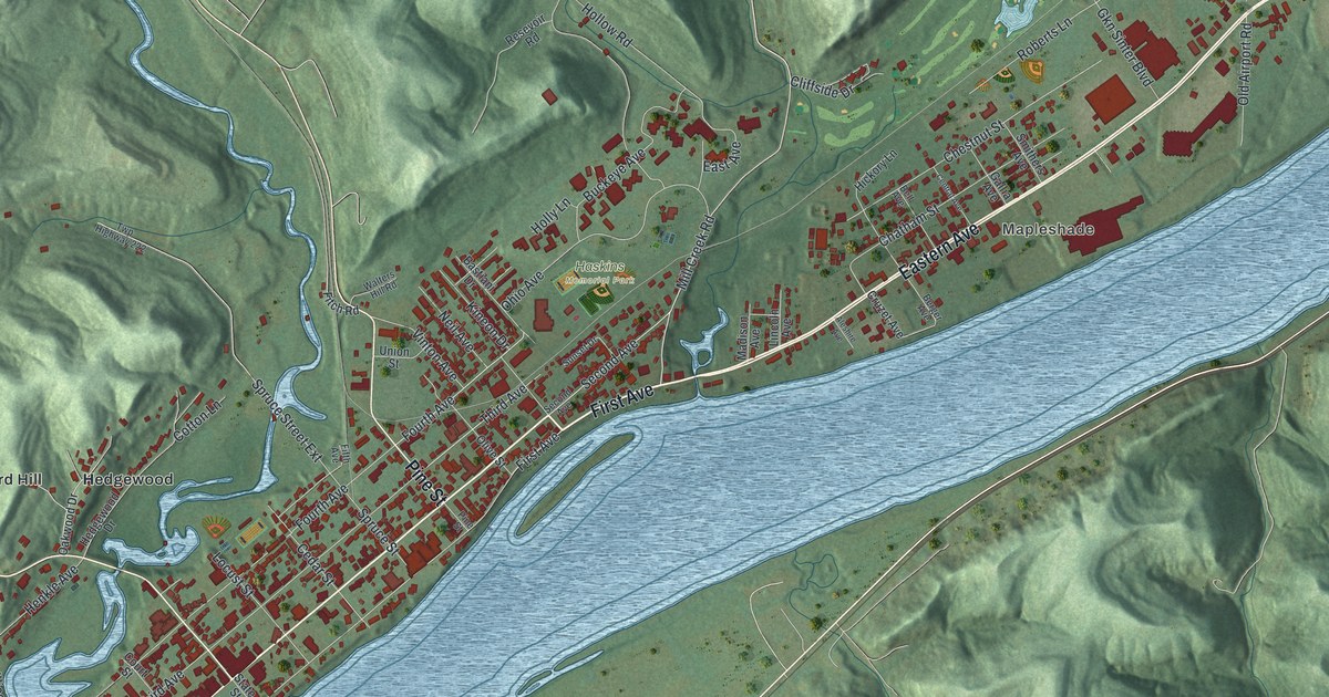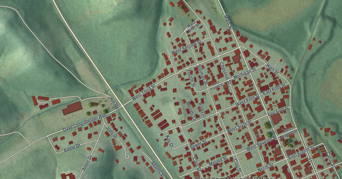
If you grew up in Dresden, look for your old block. This modern aerial view of Dresden in Muskingum County, Ohio, uses current data with a vintage feel. Red buildings fill the town's street grid. Green hills rise nearby, and a wide blue river curves along the right side.
Main Street, Canal Street, and more
On this map you'll find Main Street, Dresden Mayor's Office, Dave Longaberger Avenue, Canal Street, East Muskingum Avenue, West Muskingum Avenue, Frazeysburg Road, North Dresden Road, Lower Dresden, Dresden Cemetery, and more. Each red shape is a building, so zoom in on the preview and look for yours.
Canal Street is printed on this map, and Dresden has a waterway story worth knowing. Henry Howe's 1891 history describes Dresden as the head of steamboat travel on the Muskingum River. A short canal linked the river here to the Ohio canal nearby. Boats could carry goods between the two waterways. Howe also records regular steamboat trips from Zanesville to Dresden during the business season. Those boats towed canal boats and carried passengers. The blue river beside the town gives that story a setting you can see on this print.
Keep Dresden and Main Street close
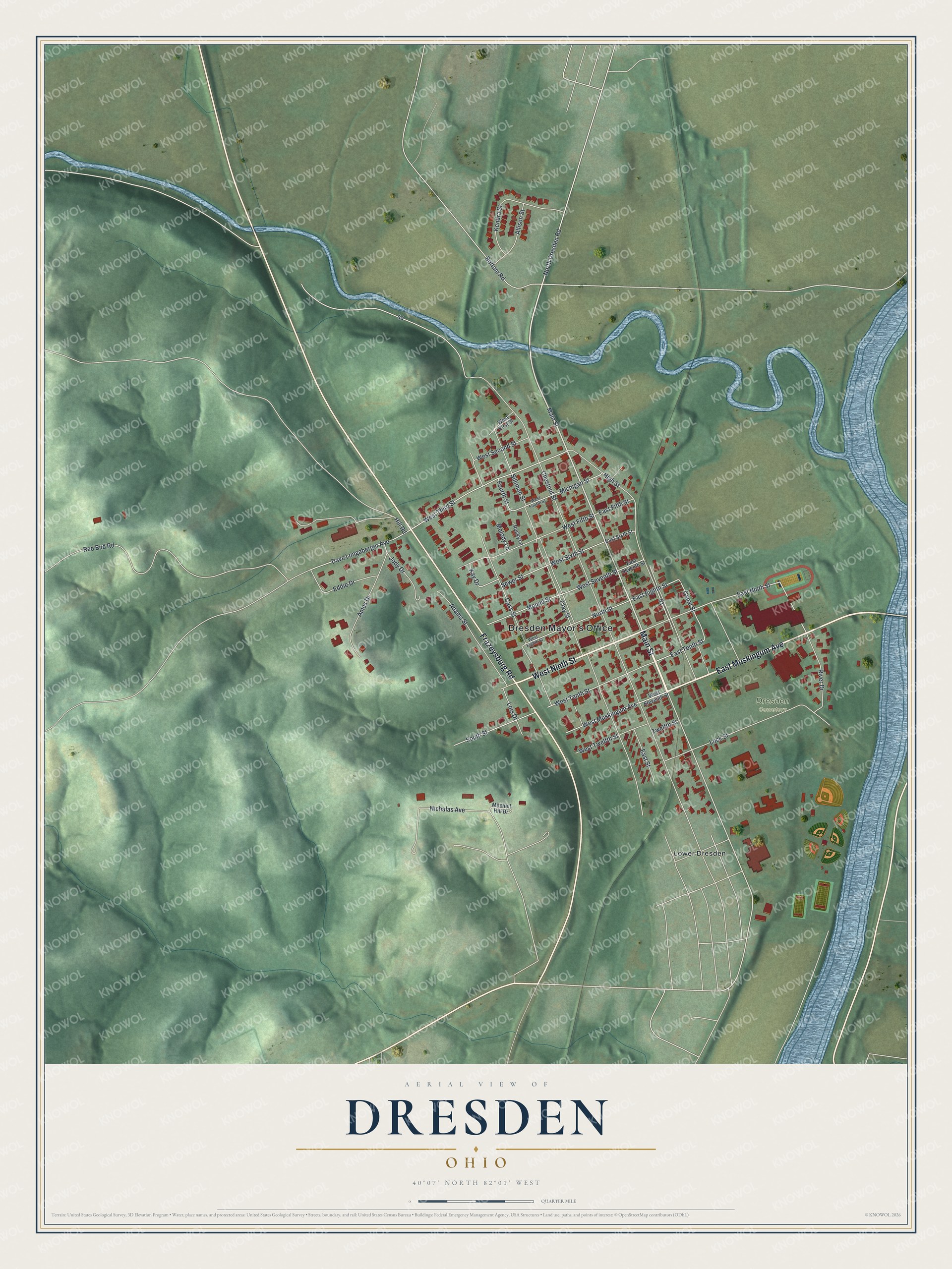
Created by KNOWOL in 2026, the print pairs green hills, blue water, and red buildings with a cream border. Its title panel reads AERIAL VIEW OF, DRESDEN, OHIO, and 40°07' NORTH 82°01' WEST.
Hang it in a living room, office, or entryway. It's a gift for someone who grew up near Main Street or moved away from Dresden. Open the preview to find a familiar street and see the whole town. See sizes and frames for the Dresden map.