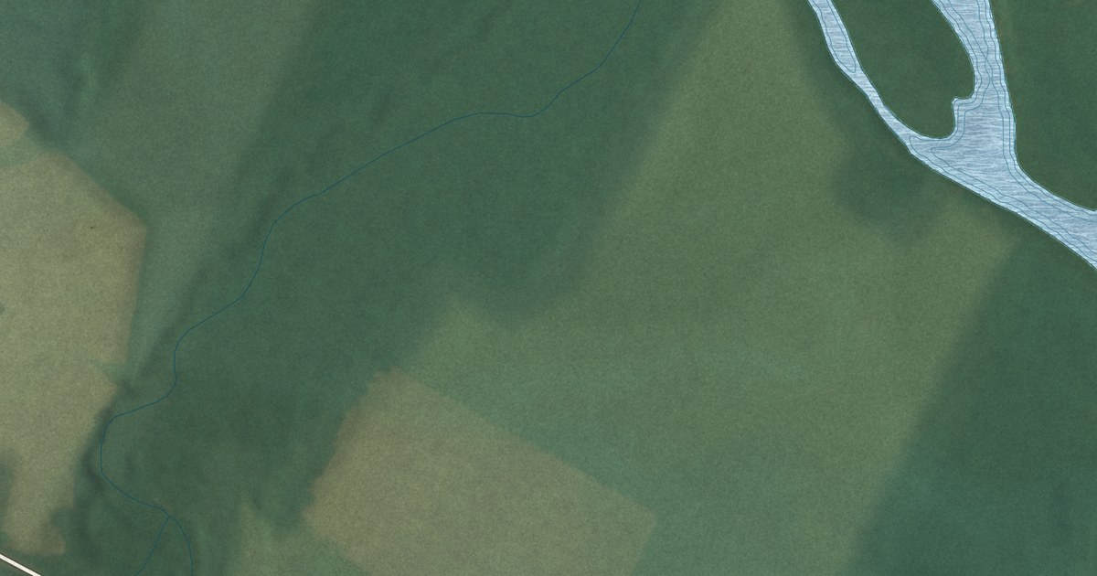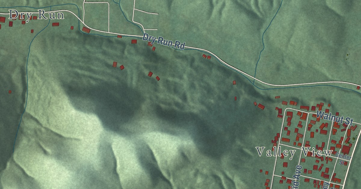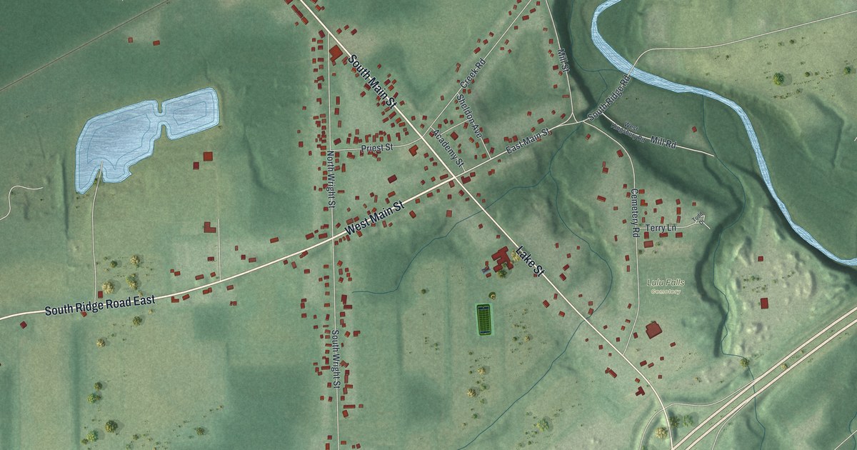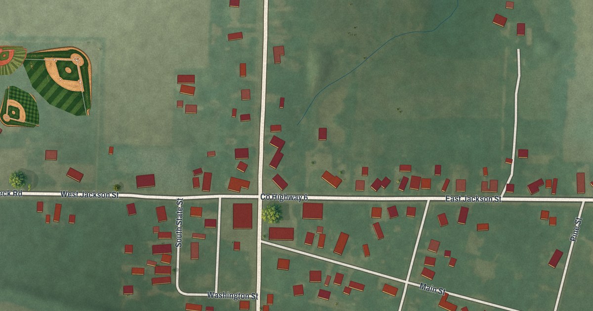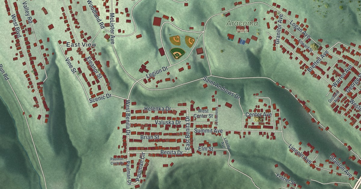
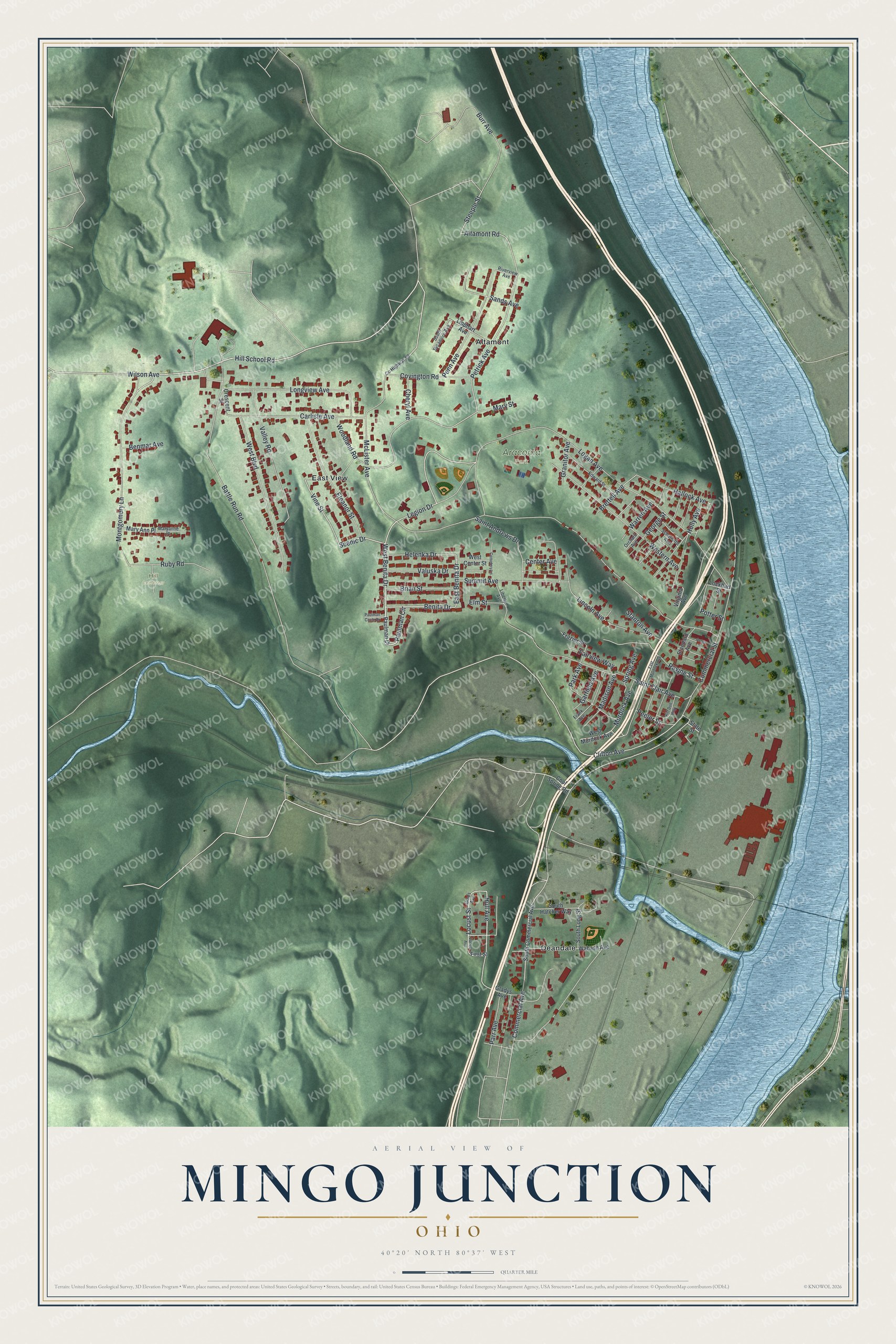
This beautifully detailed map of Mingo Junction, Ohio was created in 2026 using aerial imagery combined with modern topographical, census, street and landmark data. It’s a one-of-a-kind view of Mingo Junction that combines accurate data with a vintage aesthetic. The map shows every building in its true location, many of the roads carry their names, and the shaded topographic relief shows the shape of the land.
Explore an aerial view of Mingo Junction, Ohio
On the map you’ll find Aracoma Park, Hill Cemetery, Altamont, Deandale, and East View, along with Paulman Circle, West Benita Drive, Scenic Drive, Hill School Road, Benita Drive, East Benita Drive, Legion Drive, and more. If you look closely you can even find your house accurately drawn in its correct location. Zoom in on the preview to look for yours.
Did you know this piece of Mingo Junction, Ohio history?
The village takes its name from a Mingo settlement that once stood on the site. George Washington explored the Ohio River Valley in 1770. On October 22 he spent the night at Mingo Town. He wrote that it was cold and blustery, with about 20 cabins and 70 people.
Take a closer look at the Mingo Junction map
Street and place names on the Mingo Junction, Ohio map
These names are printed on the map of Mingo Junction, Ohio.
Places: Aracoma Park, Hill Cemetery, Altamont, Deandale and East View.
Streets and roads: Paulman Circle, West Benita Drive, Scenic Drive, Hill School Road, Benita Drive, East Benita Drive, Legion Drive, Vine Street, Montgomery Lane, Clifton Avenue, Hull Avenue, Locust Street.
More street names, A to Z
Aetna Street, Altamont Road, Battle Run Road, Benmar Avenue, Brettell Avenue, Brian Street, Burr Avenue, Carlisle Avenue, Cemetery Lane, Center Avenue, Cheryl Avenue, Commercial Avenue, Commercial Street, Cool Spring Road, County Highway 69, Covington Road, Crescent Street, East Murdock Avenue, Edward Street, Eleanor Street, Elm Street, Fairview Way, First Street, Frank Avenue, Frazier Street, Garfield Avenue, George Street, Glads Avenue, Gladys Avenue, Granitor Avenue, Hallock Avenue, Helenka Drive, Holly Avenue, Kirt Doll Way, Liberty Avenue, Lincoln Avenue, Lipphart Avenue, Lockhart Street, Locust Avenue, Logan Avenue, Longview Avenue, Madison Avenue, Maryanne Place, Mary Ann Place, Mary Street, McLister Avenue, Murdock Avenue, Orchard Avenue, Park Avenue, Parr Avenue, Paulman Circle Drive, Paulman Drive, Peeler Street, Penn Avenue, Petrick Avenue, Potter Street, Ravine Street, Riverview Avenue, Ruby Road, Saint Andrews Drive, Saint Clair Avenue, Sands Avenue, Scharlotte Avenue, South Commercial Avenue, South Hatcher Way, South Long Street, South Sycamore Avenue, Spring Avenue, Standard Avenue, Stanton Avenue, State Street, Steeple Street, Summit Avenue, Valley Road, Valuska Drive, Virginia Avenue, Wabash Avenue, Warren Avenue, West Boulevard, West Center Street, Western Avenue, West Murdock Avenue, Wilson Avenue, Woodland Road.
See the Mingo Junction, Ohio map on a wall
The Mingo Junction map as an 18 x 24 inch print in a black frame.

This beautifully detailed map of Mingo Junction makes an attractive addition to your office, library, or den, and it can even be used to teach children the geography and history of the area. It also makes a great gift for anyone with Mingo Junction roots. When you’re done exploring, click here to get your copy of the Mingo Junction map.