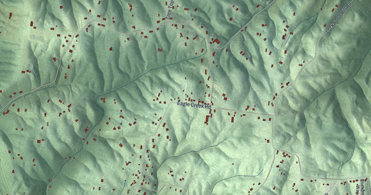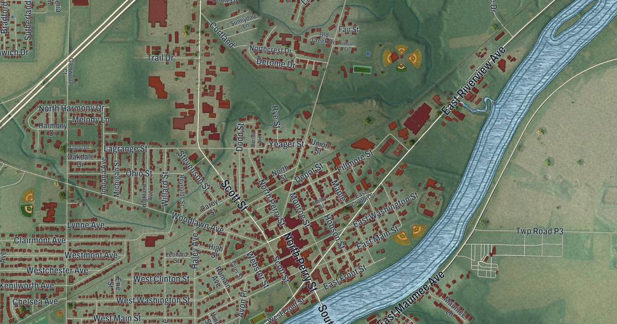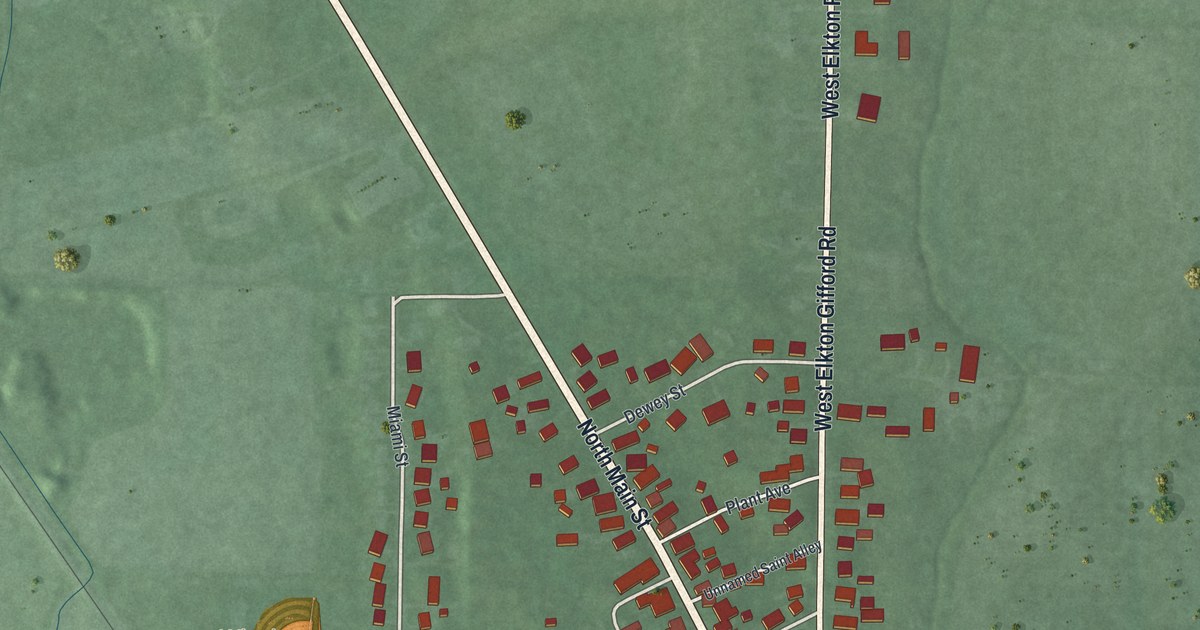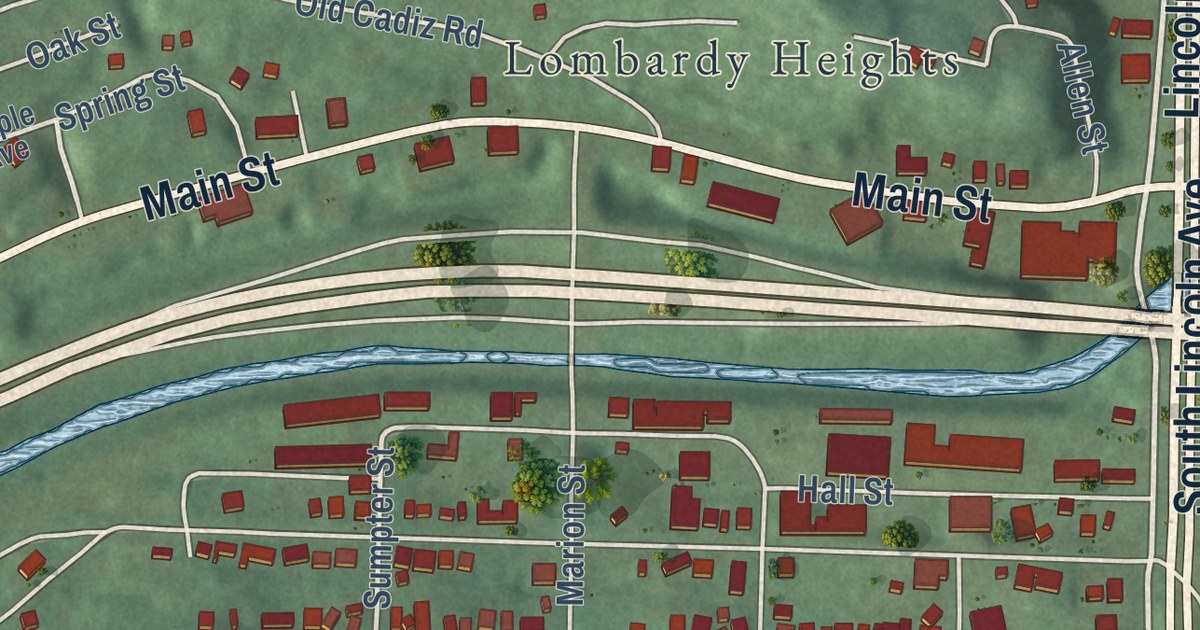
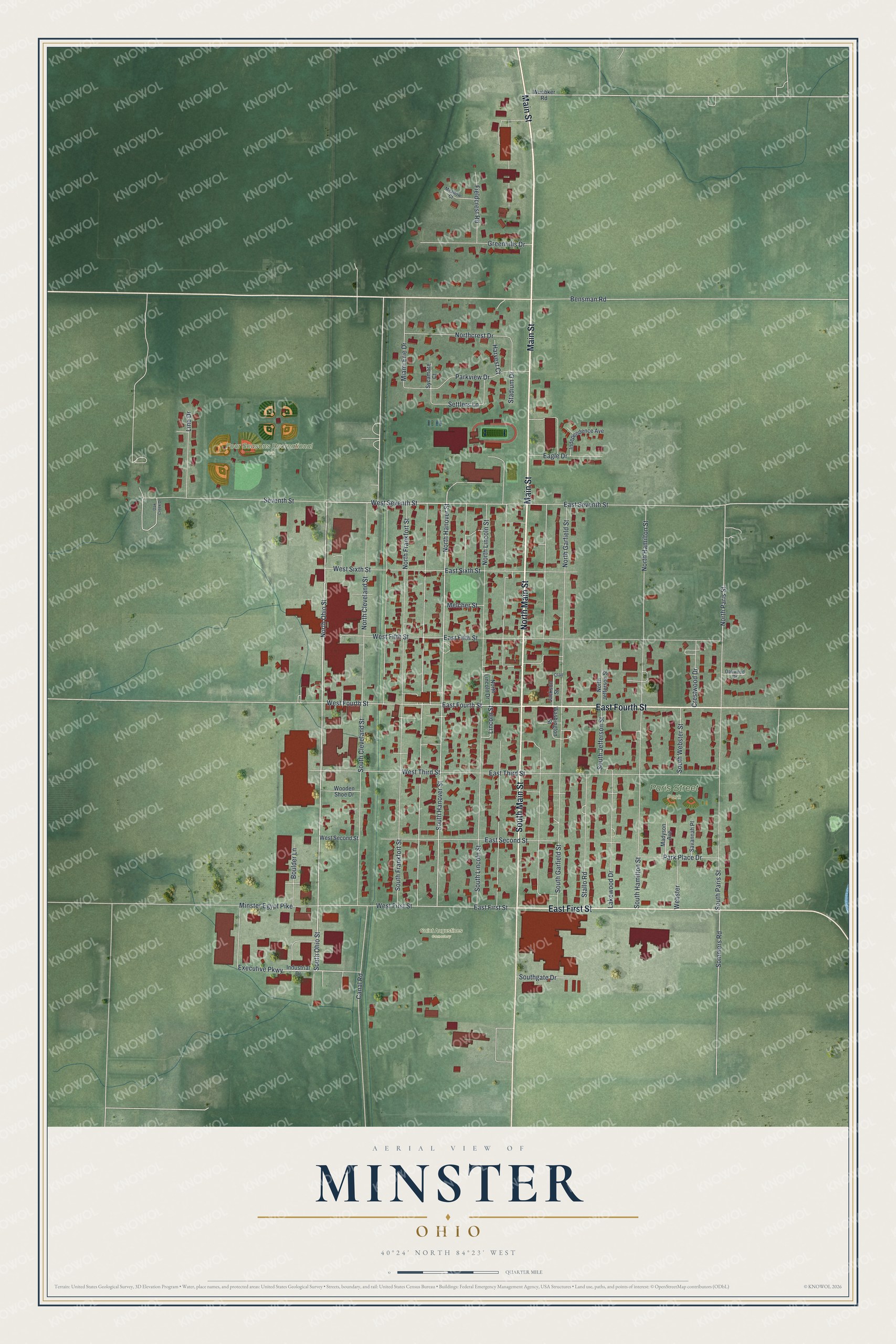
This beautifully detailed map of Minster, Ohio was created in 2026 using aerial imagery combined with modern topographical, census, street and landmark data. It’s a one-of-a-kind view of Minster that combines accurate data with a vintage aesthetic. The map shows every building in its true location, many of the roads carry their names, and the shaded topographic relief shows the shape of the land.
Explore an aerial view of Minster, Ohio
On the map you’ll find Four Seasons Recreational Park, Saint Augustines Cemetery, and Paris Street Park, along with North Main Street, Main Street, East Fourth Street, South Main Street, East First Street, South Ohio Street, North Hanover Street, North Ohio Street, West Seventh Street, and more. If you look closely you can even find your house accurately drawn in its correct location. Zoom in on the preview to look for yours.
Did you know this piece of Minster, Ohio history?
From the 1923 History of Auglaize County Ohio: "During canal days Minster was widely known as a shipping point for grain and also as a pork-packing center. The brewery that was established there many years ago put out a product that attained a good deal more than local distribution and its old familiar label was widely known. It is still in operation, carrying the old label on a ‘‘soft’’ drink of the time."
Take a closer look at the Minster map
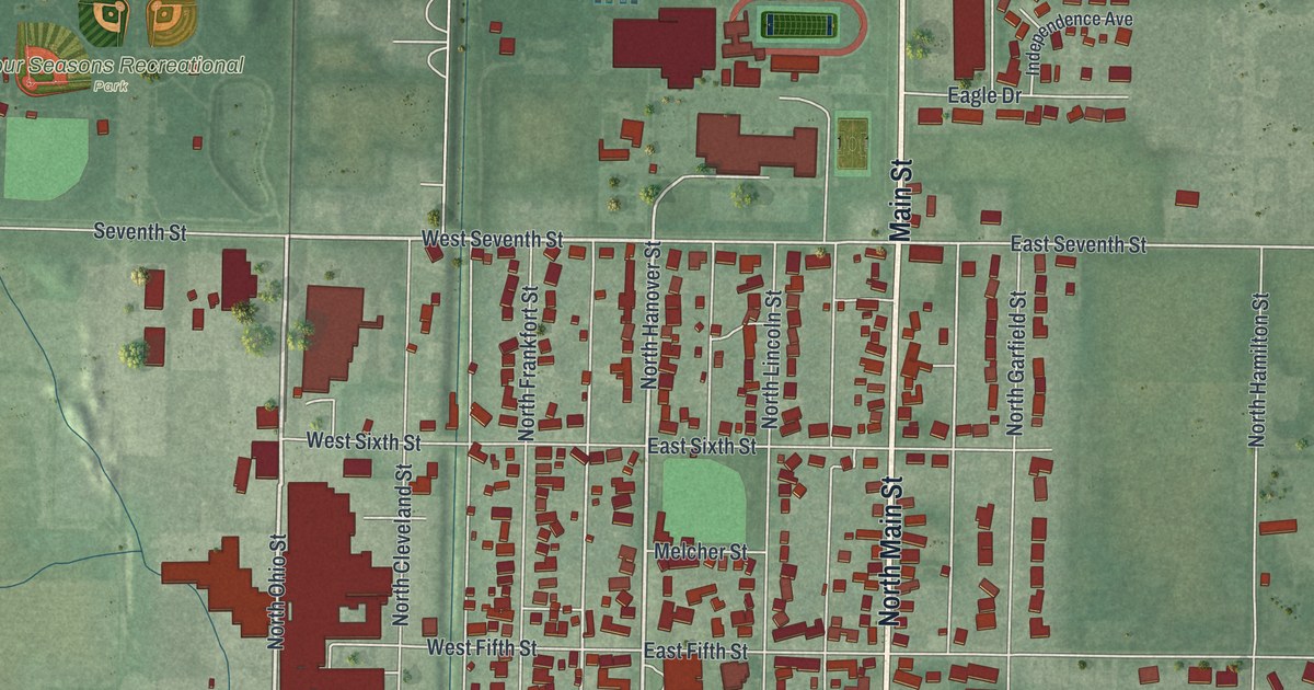
Street and place names on the Minster, Ohio map
These names are printed on the map of Minster, Ohio.
Places: Four Seasons Recreational Park, Saint Augustines Cemetery and Paris Street Park.
Streets and roads: North Main Street, Main Street, East Fourth Street, South Main Street, East First Street, South Ohio Street, North Hanover Street, North Ohio Street, West Seventh Street, South Hanover Street, West Fourth Street, West First Street.
More street names, A to Z
Bensman Road, Boulder Lane, Canal Road, Clay, Crestwood Drive, Eagle Drive, East Fifth Street, East Second Street, East Seventh Street, East Sixth Street, East Third Street, Executive Parkway, Fieldcrest Road, Greenhills Drive, Harvest Court, Independence Avenue, Industrial Drive, Jackson Street, Lakewood Drive, Lincoln Street, Line Drive, Madyson Avenue, Meadow Court, Melcher Street, Miami Erie Drive, Minster Egypt Pike, North Cleveland Street, Northcrest Drive, North Frankfort Street, North Garfield Street, North Hamilton Street, North Jefferson Street, North Lincoln Drive, North Lincoln Street, North Paris Street, Oak Creek Drive, Oakwood Drive, Park Place Drive, Parkview Drive, Savannah Place, Settlers Lane, Seventh Street, Sommers Road, South Cleveland Street, South Frankfort Street, South Garfield Street, Southgate Drive, South Hamilton Street, South Jefferson Street, South Lincoln Street, South Paris Street, South Webster Street, Stadium Drive, Stallo Road, Sycamore Court, Washington Street, Webster, West Fifth Street, West Second Street, West Sixth Street, West Third Street, Wooden Shoe Drive, Wuebker Road.
See the Minster, Ohio map on a wall
The Minster map as an 18 x 24 inch print in a black frame.

This beautifully detailed map of Minster makes an attractive addition to your office, library, or den, and it can even be used to teach children the geography and history of the area. It also makes a great gift for anyone with Minster roots. When you’re done exploring, click here to get your copy of the Minster map.