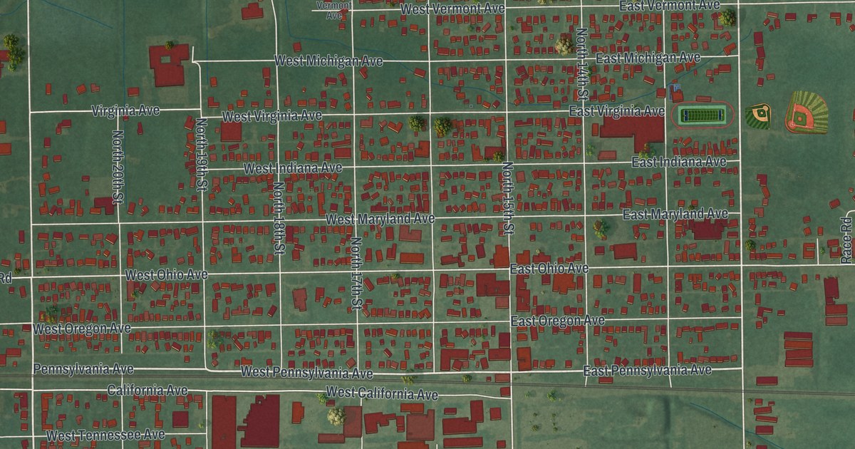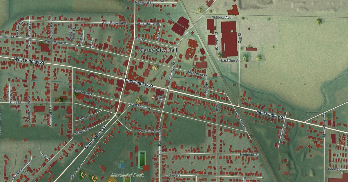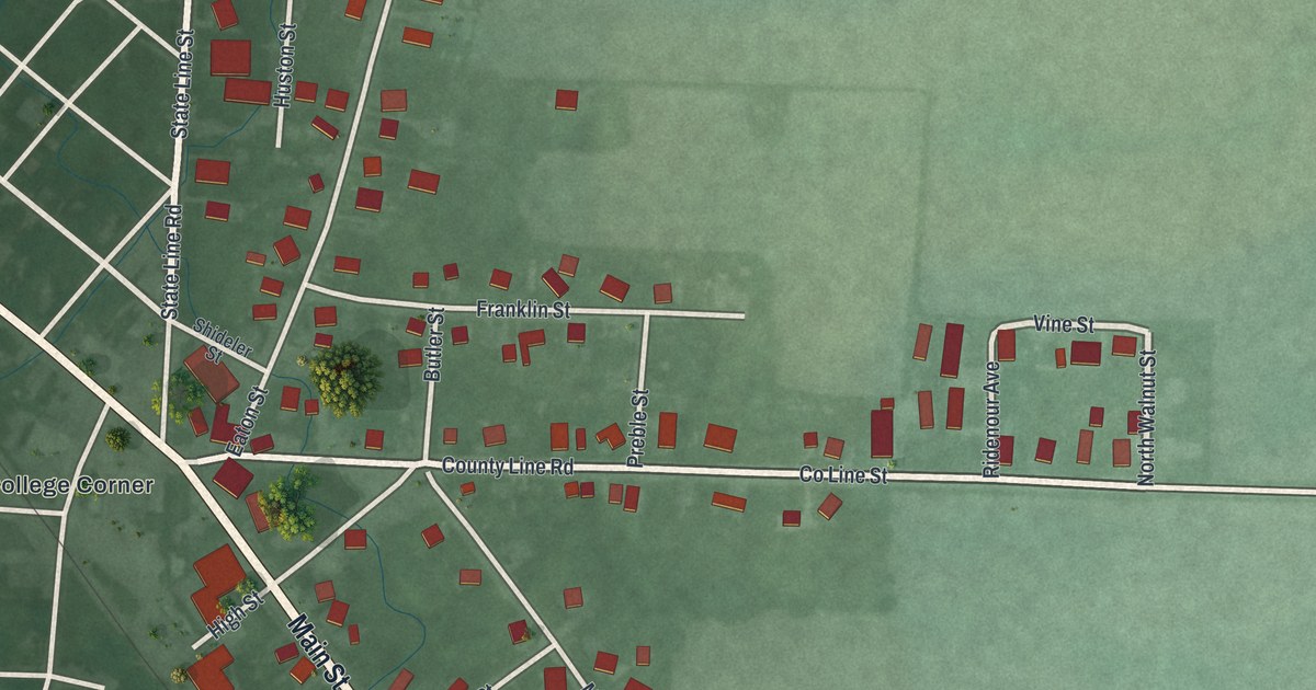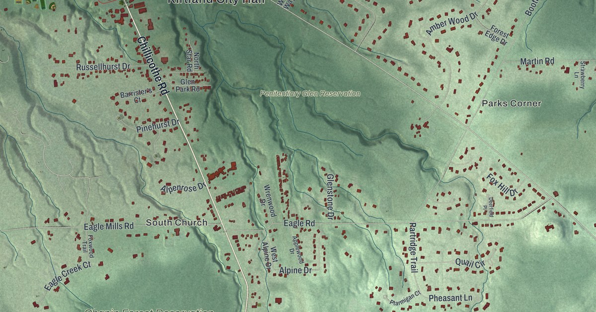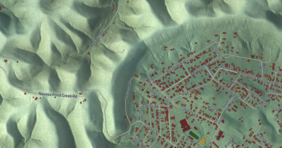
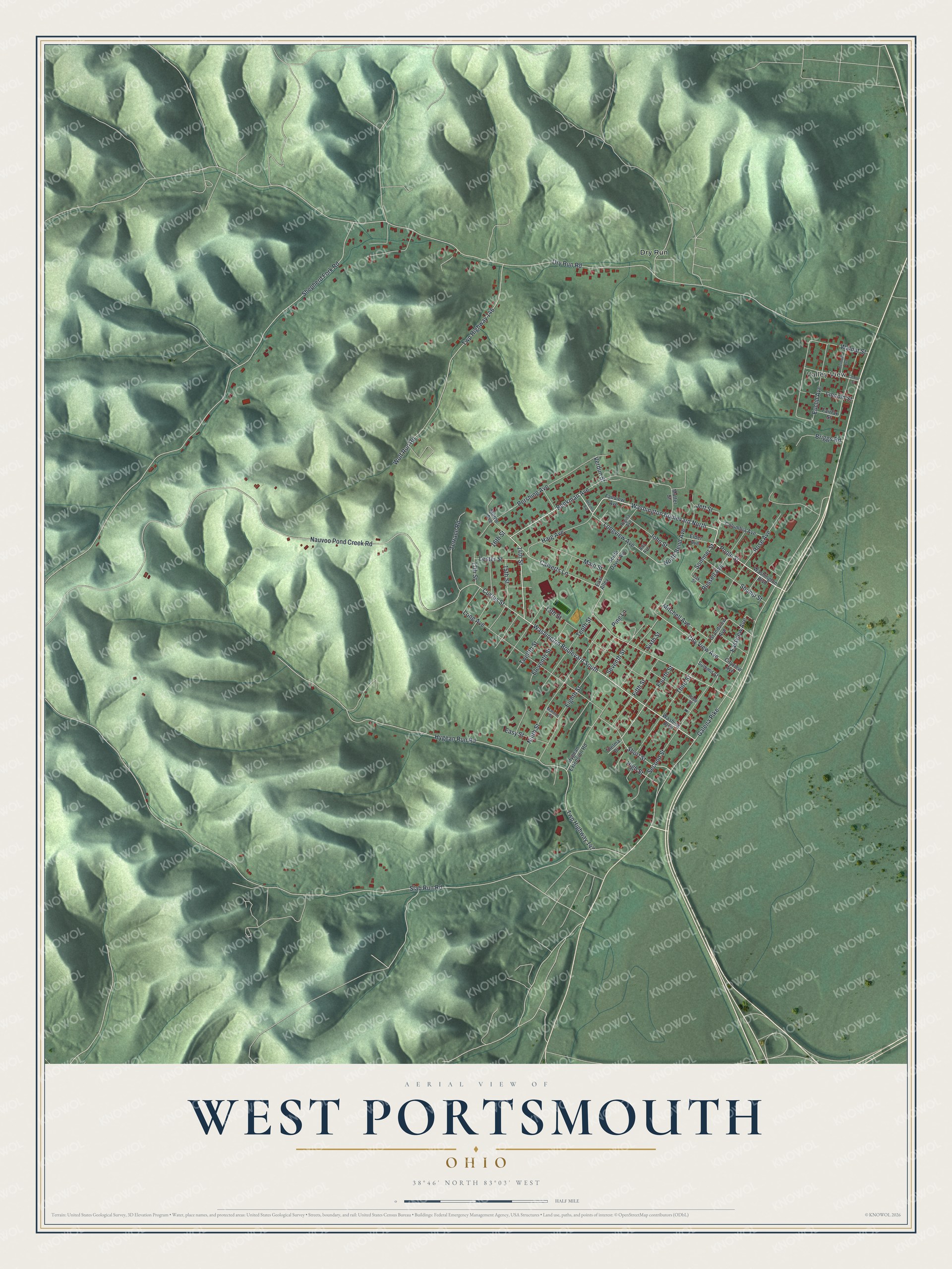
This beautifully detailed map of West Portsmouth, Ohio was created in 2026 using aerial imagery combined with modern topographical, census, street and landmark data. It's a modern aerial view of West Portsmouth in Scioto County, Ohio, that combines modern data with a vintage aesthetic. The roads feature printed names, and if you look closely you can find your exact house accurately shown in its correct location.
Explore an aerial view of West Portsmouth, Ohio
On this map you'll find Valley View, Dry Run, Washington Boulevard North, Poole Street, Custus Street, Sommer Street, Washington Boulevard South, Longview Avenue, Short Street, Twp Highway 146, Wolf Run Road, City View Avenue, and more. Each red shape is a building, so zoom in on the preview and look for yours.
West Portsmouth is a community in Scioto County. The Census Bureau counted 2,928 people here in 2020. West Portsmouth sits about 3 miles west of Rosemount, 4 miles south of McDermott and 6 miles west of New Boston. The map prints the town name in its title panel, with the coordinates below it.
Take a closer look at the West Portsmouth map
Names on this map
These names are printed on this map.
Places: Valley View and Dry Run.
Streets and roads: Washington Boulevard North, Poole Street, Custus Street, Sommer Street, Washington Boulevard South, Longview Avenue, Short Street, Twp Highway 146, Wolf Run Road, City View Avenue, Eastview Avenue, Slab Run Road.
More street names, A to Z
13th Street, 14th Street, 15th Street, 16th Street, 17th Street, Alta Avenue, Beekman Avenue, Belmont Avenue, Briggs Road, Calverts Lane, Center Street, Cityview Avenue, Columbia Avenue, Dry Run Road, East Alley, Easy Street, Eighth Street, Elder Avenue, Eleventh Street, Euclid Avenue, Fairfax Street, Fairview Avenue, Fifth Street, Fourth Street, Galena Pike, Grandview Avenue, Haig Avenue, High Street, Hygean Extension Road, Hygean Run Road, Jett Street, John Street, Lester Street, Lincoln Street, Long Avenue, Main Street, Malone Street, Marne Avenue, Mitchell Avenue, Mutter Street, Nauvoo Pond Creek Road, Ninth Street, North Bend Avenue, Oak Street, Pershing Avenue, Pine Lane, Rapp Street, Regina Avenue, Rheims Avenue, Rose Avenue, Russell Avenue, Second Street, Seventh Street, Shepherd Fork Road, Shump Street, Sixth Street, South Davis Avenue, Summit Street, Tenth Street, Terrace Road, Thelma Drive, Third Street, Twelfth Street, Twp Highway 147, Verdun Street, Walnut Street, Washing Boulevard, Washington Boulevard.
See it on a wall
The West Portsmouth map as a framed print. Swipe for more.


Created by KNOWOL in 2026. The buildings are small red shapes, the roads carry their printed names, and shaded relief shows the shape of the land. The title panel reads "AERIAL VIEW OF WEST PORTSMOUTH, OHIO" with 38°46' NORTH 83°03' WEST.
It looks right in a kitchen, an office or a den, and it's a gift for anyone who grew up in West Portsmouth or moved away. Open the preview and find your street. See sizes and frames for the West Portsmouth map.