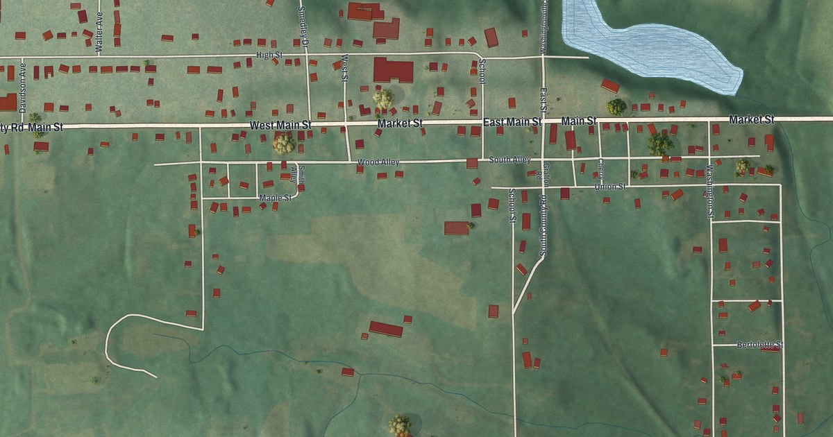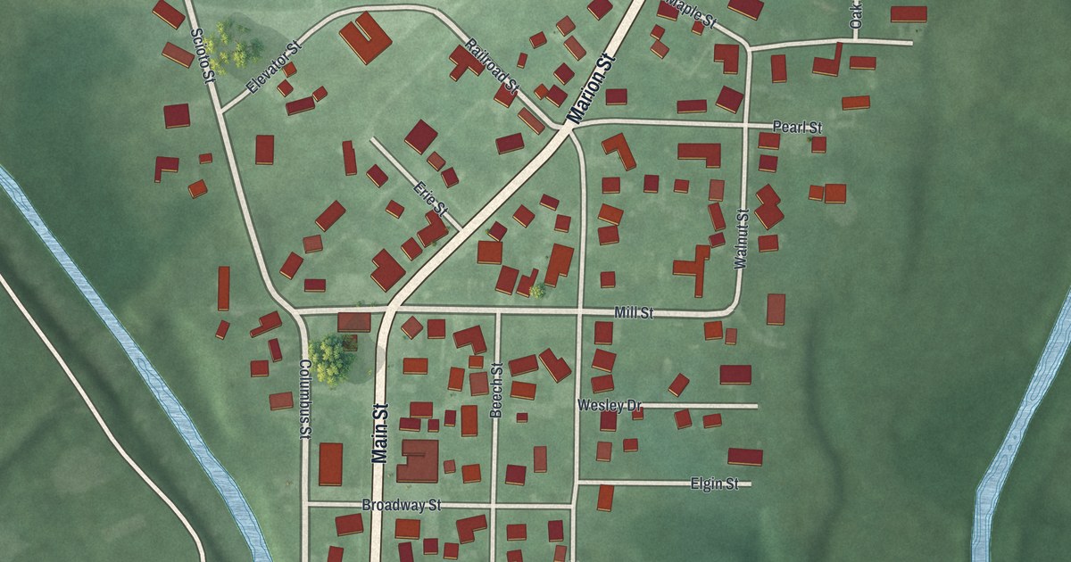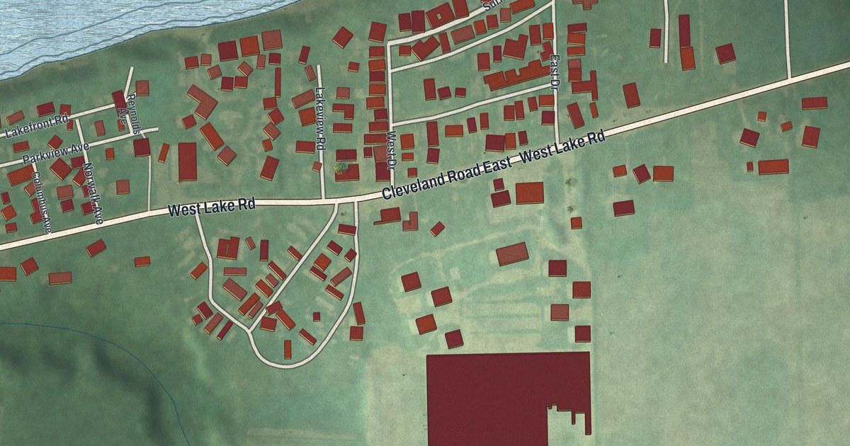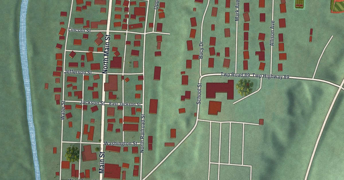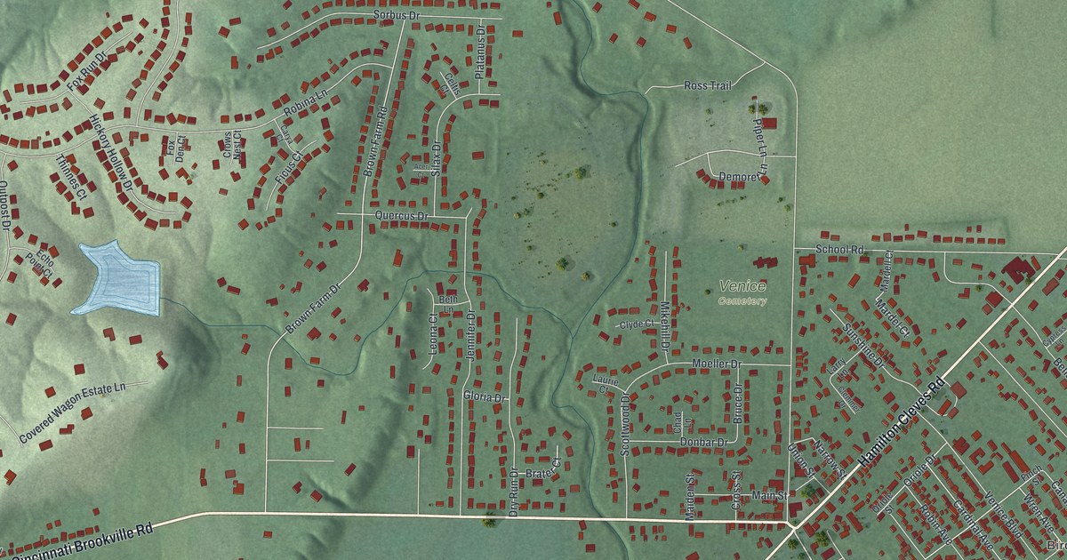
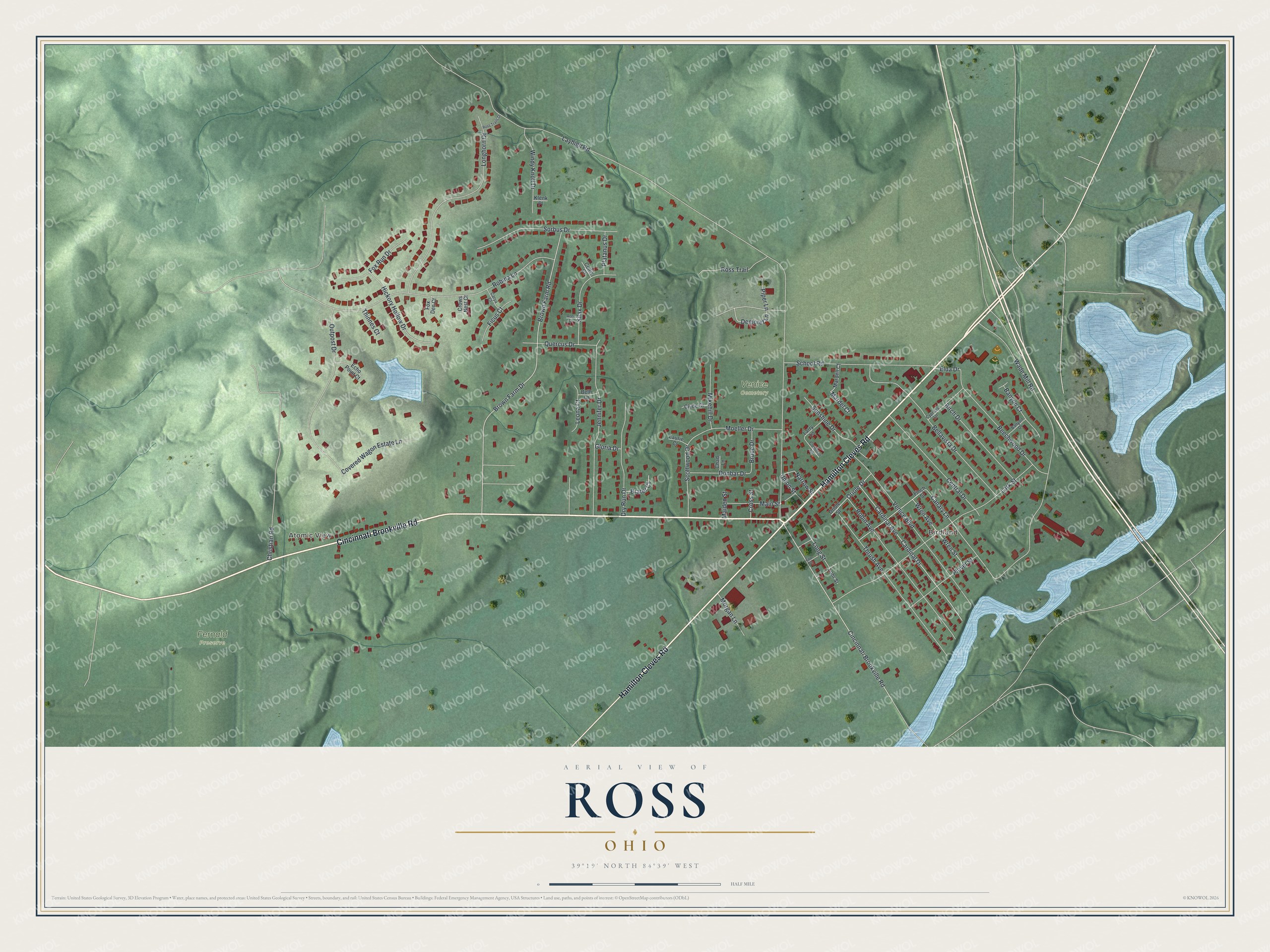
This beautifully detailed map of Ross, Ohio was created in 2026 using aerial imagery combined with modern topographical, census, street and landmark data. It's a modern aerial view of Ross in Butler County, Ohio, that combines modern data with a vintage aesthetic. The roads feature printed names, and if you look closely you can find your exact house accurately shown in its correct location.
Explore an aerial view of Ross, Ohio
On this map you'll find Atomic View, Birdland, Fernald Preserve, Venice Cemetery, Hamilton Cleves Road, Cincinnati Brookville Road, Demoret Lane, Canary Lane, Layhigh Road, Brown Farm Drive, Brown Farm Road, Wade Mill Road, and more. Each red shape is a building, so zoom in on the preview and look for yours.
Ross is a community in Butler County. The Census Bureau counted 3,478 people here in 2020. Ross sits about 2 miles northwest of Dunlap, 3 miles north of New Baltimore and 4 miles north of Dry Ridge. The map prints the town name in its title panel, with the coordinates below it.
Take a closer look at the Ross map
Names on this map
These names are printed on this map.
Places: Atomic View, Birdland, Fernald Preserve and Venice Cemetery.
Streets and roads: Hamilton Cleves Road, Cincinnati Brookville Road, Demoret Lane, Canary Lane, Layhigh Road, Brown Farm Drive, Brown Farm Road, Wade Mill Road, Lark Street, Robina Lane, Longhorn Drive, Venice Boulevard.
More street names, A to Z
Acer Court, Banyon Court, Banyon Drive, Beechwood Drive, Bellavista Drive, Beth Lane, Birch Drive, Brater Court, Bruce Drive, Cardinal Avenue, Cardinal Drive, Carya Court, Celtis Court, Central Drive, Chad Lane, Christian Road, Clemmer Drive, Clyde Court, Covered Wagon Estate Lane, Cross Street, Crows Nest Court, Cypress Lane, Donbar Drive, Dry Run Drive, Echo Point Court, Elda Drive, Epp Street, Ficus Court, Finch Street, Fox Den Court, Fox Run Drive, Gloria Drive, Hickory Hollow Drive, Jennifer Drive, Klenk Place, Larry Lane, Laurie Court, Leona Court, Lohr Street, Long Street, Maiden Street, Main Street, Mardel Court, Mardell Court, Mikehill Drive, Moeller Drive, Morgan Lane, Narrow Street, Oriole Drive, Oriole Street, Outpost Drive, Piper Lane, Platanus Drive, Plover Street, Quercus Drive, Robin Avenue, Ross Trail, Ross Trails Drive, School Road, Scottwood Drive, Silax Drive, Sorbus Drive, Sunshine Drive, Thinnes Court, Thrush Avenue, Union Street, Windy Knoll Drive, Wren Avenue, Wren Street.
See it on a wall
The Ross map as a framed print. Swipe for more.


Created by KNOWOL in 2026. The buildings are small red shapes, the roads carry their printed names, and shaded relief shows the shape of the land. The title panel reads "AERIAL VIEW OF ROSS, OHIO" with 39°19' NORTH 84°39' WEST.
It suits a den, a classroom or a front hall, and it makes a gift for anyone with Ross roots. Open the preview and find the block you know. See sizes and frames for the Ross map.