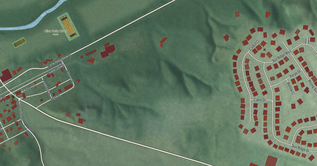
If you grew up on North Main Street or have family up on Sun Ridge Drive, this map is for you. It's a modern aerial view of Corwin in Warren County, Ohio, made from modern data and given a vintage feel. It shows the older village streets, the newer homes along Sun Ridge Drive, Clint Fultz River Park by the water, and the green hills that roll between them.
From North Main Street to Anvil Drive
On this map you'll find North Main Street, First Street, Second Street, High Street, John Street, Corwin Avenue, Corwin Road, Pigeon Street, Partridge Street, Turkey Lane, Sun Ridge Drive, Anvil Drive, Forge Drive, Clint Fultz River Park, East State Rte 73, and more. Each red shape is a building, so zoom in on the preview and look for yours.
Pigeon Street, Partridge Street and Turkey Lane
Some of Corwin's street names are worth a second look. Pigeon Street, Partridge Street and Turkey Lane are all bird names. Around Sun Ridge Drive, the names turn to the blacksmith's shop, with Anvil Drive, Forge Drive and Bellow Court. The 2020 Census counted 484 people in Corwin, and the map shows almost 400 buildings, from the old blocks near the river to the curving streets around Sun Ridge Drive.
The Corwin Council House and Jail
Corwin has its own place on the National Register of Historic Places. The Corwin Council House and Jail was listed in 2001. Its spot falls inside the frame of this map. The National Register lists it at 946 Harveysburg Road.
Bring North Main Street and Sun Ridge Drive home
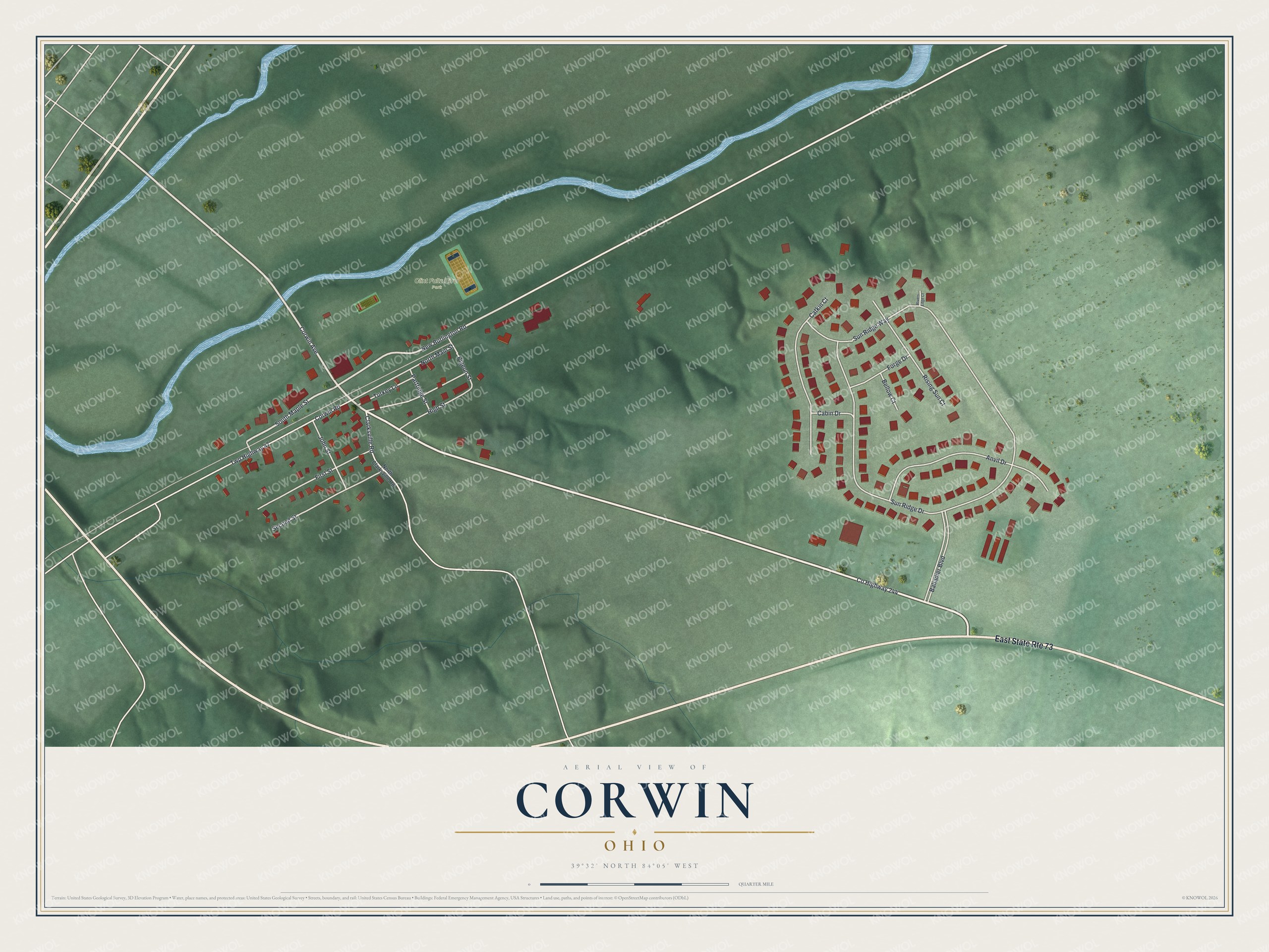
Created by KNOWOL in 2026, this print shows Corwin from above in soft greens, with shaded hills, red buildings, cream roads and a blue river winding across the top. The title panel reads "Aerial View of Corwin, Ohio" with the coordinates 39°32' North 84°05' West.
It fits a kitchen, a front hall or a home office. It's a good gift for someone who grew up near Clint Fultz River Park, or for a friend who moved away from the Sun Ridge Drive area. Open the preview and find your own street. See sizes and frames for the Corwin map.