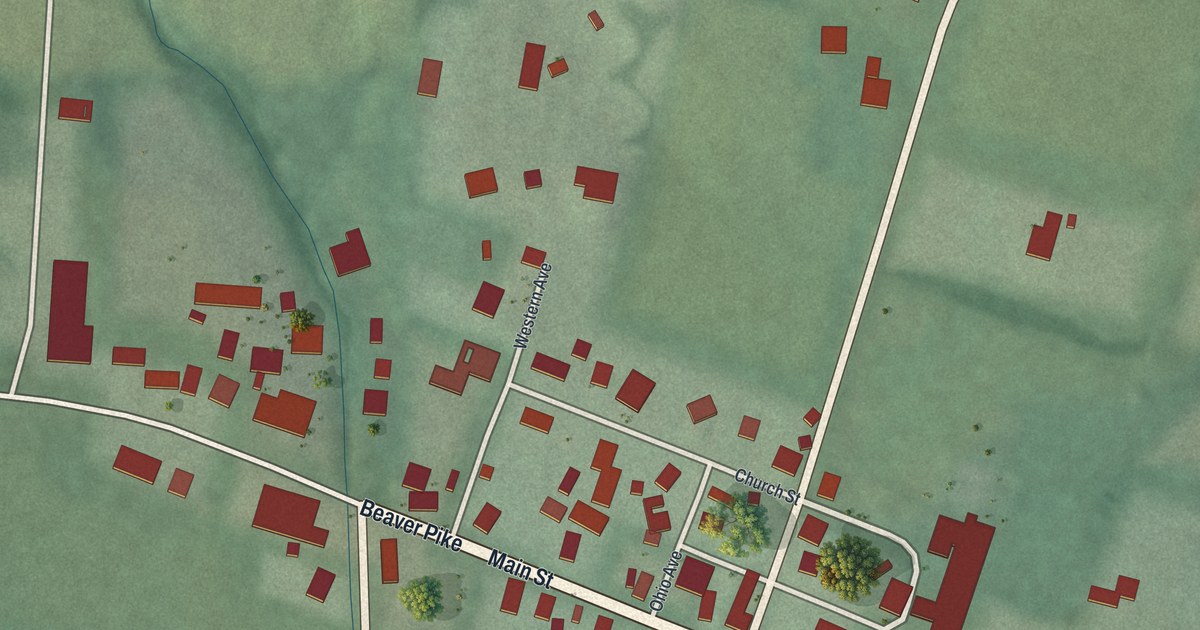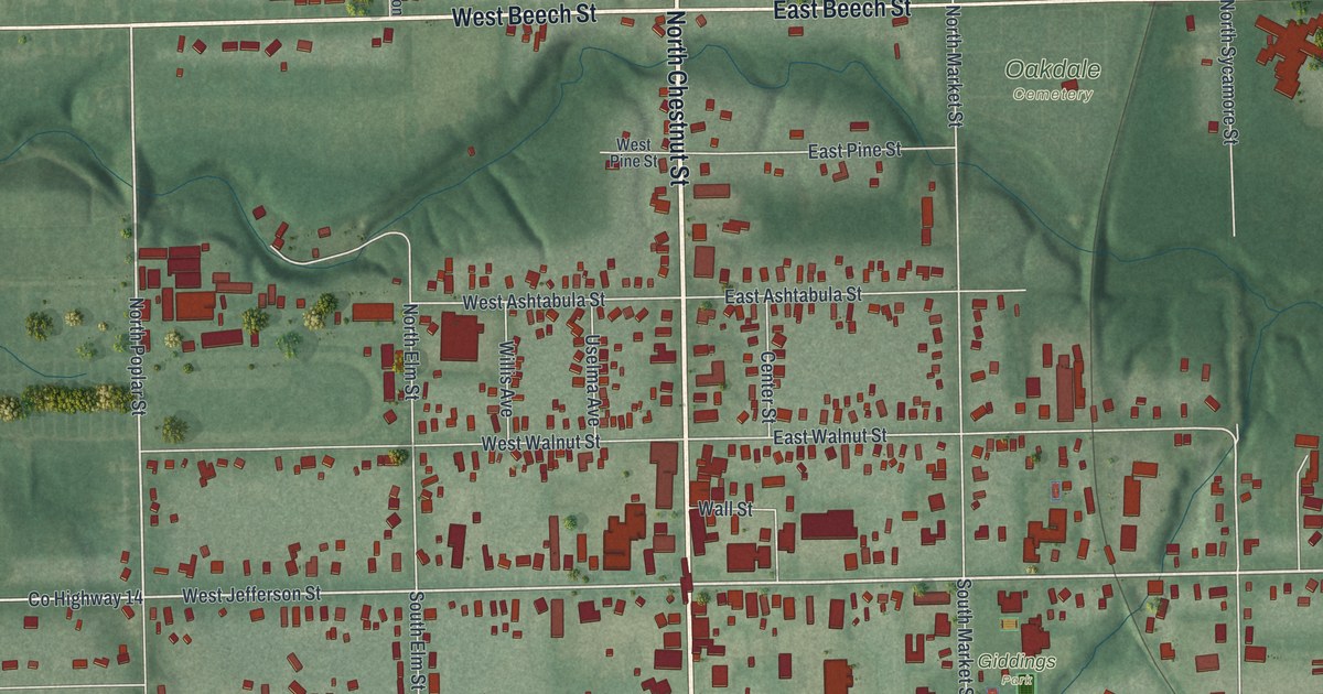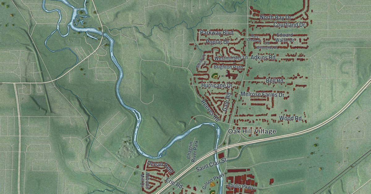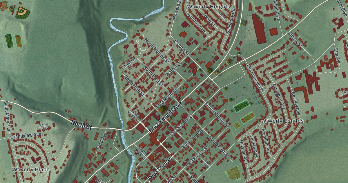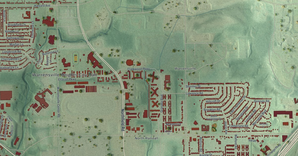
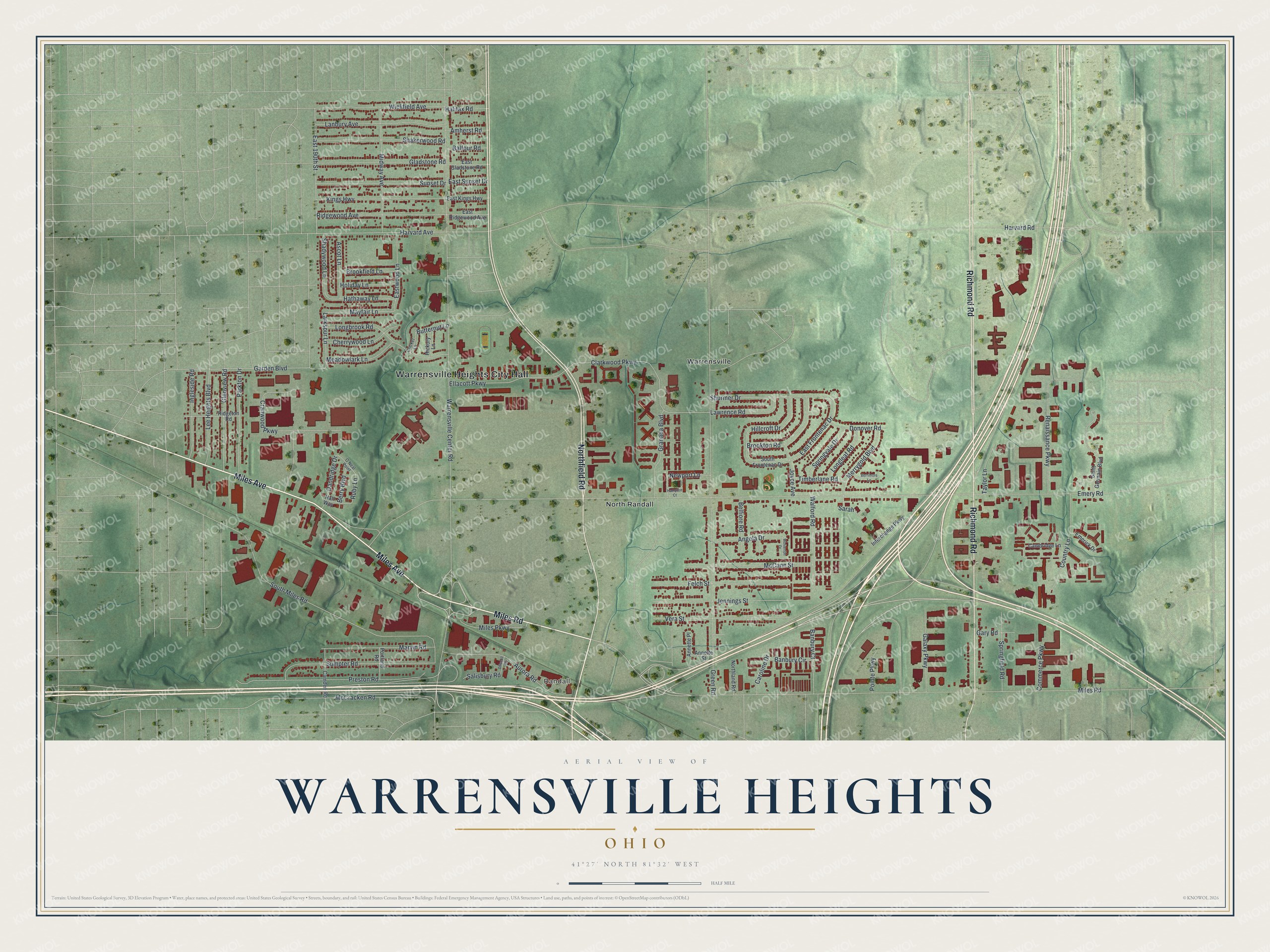
This beautifully detailed map of Warrensville Heights, Ohio was created in 2026 using aerial imagery combined with modern topographical, census, street and landmark data. It’s a one-of-a-kind view of Warrensville Heights that combines accurate data with a vintage aesthetic. The map shows every building in its true location, many of the roads carry their names, and the shaded topographic relief shows the shape of the land.
Explore an aerial view of Warrensville Heights, Ohio
On the map you’ll find Warrensville Heights City Hall, Randall, North Randall, and Warrensville, along with Miles Avenue, Miles Road, Richmond Road, Northfield Road, Harvard Avenue, East 190th Street, Garden Boulevard, Mayfair Lane, and more. If you look closely you can even find your house accurately drawn in its correct location. Zoom in on the preview to look for yours.
Did you know this piece of Warrensville Heights, Ohio history?
Warrensville Township was named for early settler Daniel Warren. By the late 1920s and early 1930s, its village was known nationally as a geranium center with eight large greenhouses. That’s from the Encyclopedia of Cleveland History.
Take a closer look at the Warrensville Heights map
Street and place names on the Warrensville Heights, Ohio map
These names are printed on the map of Warrensville Heights, Ohio.
Places: Warrensville Heights City Hall, Randall, North Randall and Warrensville.
Streets and roads: Miles Avenue, Miles Road, Richmond Road, Northfield Road, Harvard Avenue, East 190th Street, Garden Boulevard, Mayfair Lane, Larkspur Lane, East Frontenac Drive, Ruby Lane, Emery Road.
More street names, A to Z
Amherst Road, Angela Drive, Annette Place, Annette Street, Ascot Lane, Aurora Road, Balfour Road, Banbury Circle, Banbury Court, Belfiore Road, Berrimore Lane, Berry Boulevard, Brookfield Lane, Brookton Road, Butternut Lane, Cambridge Lane, Camden Road, Caroline Drive, Cherrywood Lane, Clarkwood Parkway, Commerce Parkway, Country Lane, Cranwood Parkway, Cricket Lane, Dandridge Drive, Donover Road, Driscoll Road, East Gladstone Road, East Kings Highway, East Ridgewood Avenue, East Sunset Drive, Eastwood Lane, Ellacott Parkway, Emerick Drive, Felch Street, Galaxy Parkway, Gary Road, Gladstone Road, Glenview Road, Granada Boulevard, Green Road, Halifax Road, Hall Way, Hampton Court, Harvard Road, Hathaway Lane, Hickory Lane, Hillcroft Drive, Holiday Lane, Ingleside Road, Interchange Parkway, Jennings Street, Joyce Avenue, Kings Highway, Lanbury Avenue, Lawrence Road, Lee Heights Boulevard, Longbrook Road, Longleaf Road, Marvin Road, McCann Street, McCracken Road, Meadowlark Lane, Merrygold Boulevard, Midway Avenue, Miles Parkway, Newport Lane, Northland Road, O'Neal Point, Parkton Drive, Pointe Parkway, Portland Road, Preston Road, Renaissance Parkway, Ridgeton Road, Ridgewood Avenue, Saint Germain Boulevard, Salisbury Road, Sarah, Shadywood Lane, Shakerwood Road, Shurmer Drive, South Frontenac Drive, South Miles Road, Springfield Road, Springvale Drive, Sumpter Road, Sunset Drive, Taylor Lane, Timberlane Road, Vera Street, Walford Road, Warrensville Center Road, Wickfield Avenue, Wolverton Drive.
See the Warrensville Heights, Ohio map on a wall
The Warrensville Heights map as an 18 x 24 inch print in a black frame.

This beautifully detailed map of Warrensville Heights makes an attractive addition to your office, library, or den, and it can even be used to teach children the geography and history of the area. It also makes a great gift for someone who left Warrensville Heights and still calls it home. When you’re done exploring, click here to get your copy of the Warrensville Heights map.