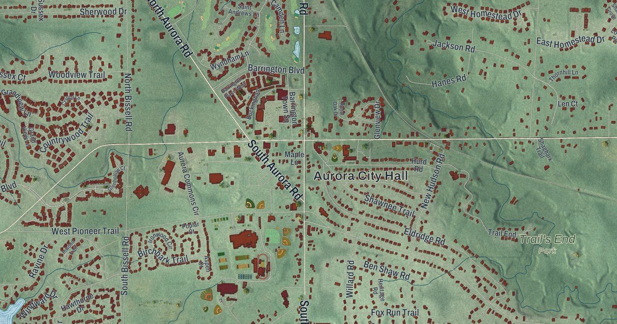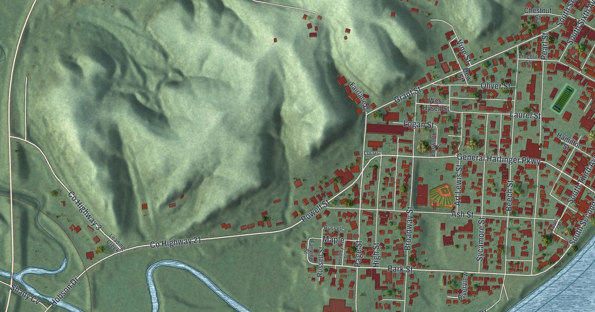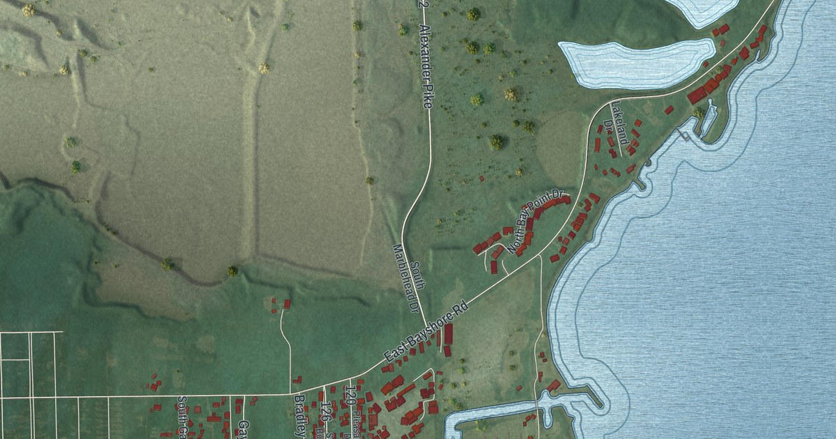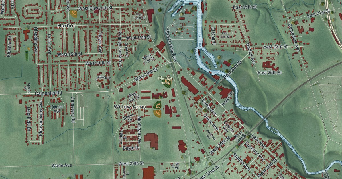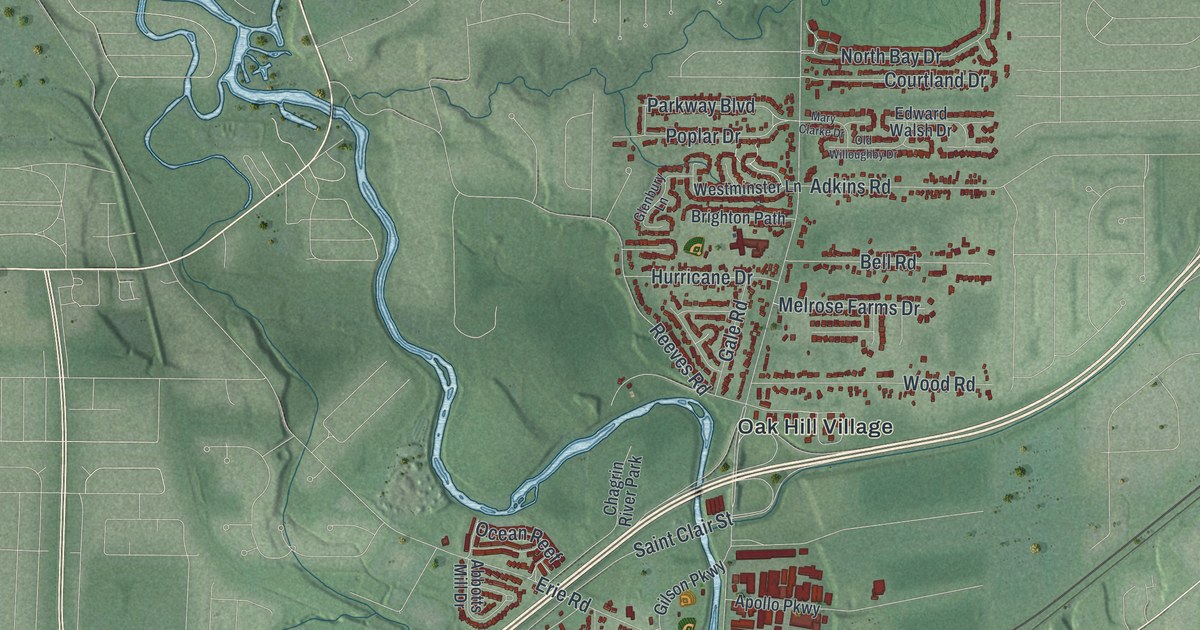
If you grew up in Willoughby or still walk downtown along Erie Street, this map is for you. It's a modern aerial view of Willoughby in Lake County, Ohio, made from modern data and given a vintage feel. A wide blue lake fills the top left corner. A winding blue river runs down through the middle of town. Red buildings crowd around Willoughby City Hall and reach north to Arrowhead Beach by the shore.
Erie Street, Vine Street and more on the Willoughby map
On this map you'll find Erie Street, River Street, Euclid Avenue, Vine Street, Mentor Avenue, Ridge Road, Som Center Road, Lost Nation Road, Lake Shore Boulevard, Willoughby City Hall, Chagrin River Park, Oak Hill Village, Arrowhead Beach, Kirtland Country Club, and more. Each red shape is a building, so zoom in on the preview and look for yours.
How the village of Chagrin became Willoughby
Willoughby didn't start out with that name. The village of Chagrin was founded in 1798. In 1834 it changed its name to honor Dr. Westel Willoughby, a pioneer medical educator. That same year, the Willoughby Medical College opened. According to the Ohio historical marker downtown, this was the beginning of medical education in northern Ohio. The college trained 160 doctors in anatomy, chemistry and surgery. It had hard times, too. Money was short. People were angry about grave robbing, which supplied bodies for anatomy classes. Teachers moved to Cleveland, and the college closed in 1847. Still, its work helped lay the ground for the medical schools of Case Western and Ohio State. The marker stands where Erie Street, River Street and Euclid Avenue meet, close to Willoughby City Hall on the map.
Cora Gaines Carrel at Willoughby City Hall
Willoughby City Hall has its own first. A marker out front honors Cora Gaines Carrel. She was the first woman to serve on a city council in the state of Ohio. Mayor Josiah Jordan appointed her after the 19th Amendment gave women the right to vote. She served on the Willoughby council from 1921 to 1924. While there, she led the way on city planning and zoning rules. She'd been a schoolteacher in her youth. In 1901 she wrote a book of poems called Buckeye Ballads.
From Arrowhead Beach to Ridge Road
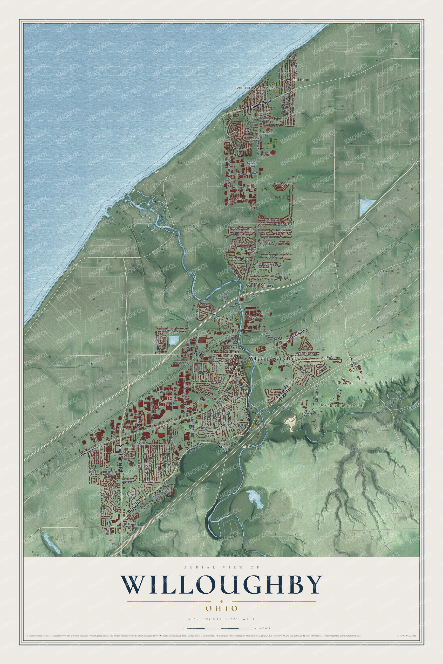
Created by KNOWOL in 2026, this print shows Willoughby from above in soft greens and blues. The lake runs along the top left, the river winds through the center, and thousands of small red buildings fill the streets around it. The title panel reads "Aerial View of Willoughby, Ohio" with the coordinates 41°38' North 81°24' West.
It fits a living room, a home office or the hallway by the front door. It's a good gift for someone who grew up near Willoughby City Hall and has since moved away, or for a family that just bought a house off Euclid Avenue. Open the preview and find the blocks you know best. See sizes and frames for the Willoughby map.