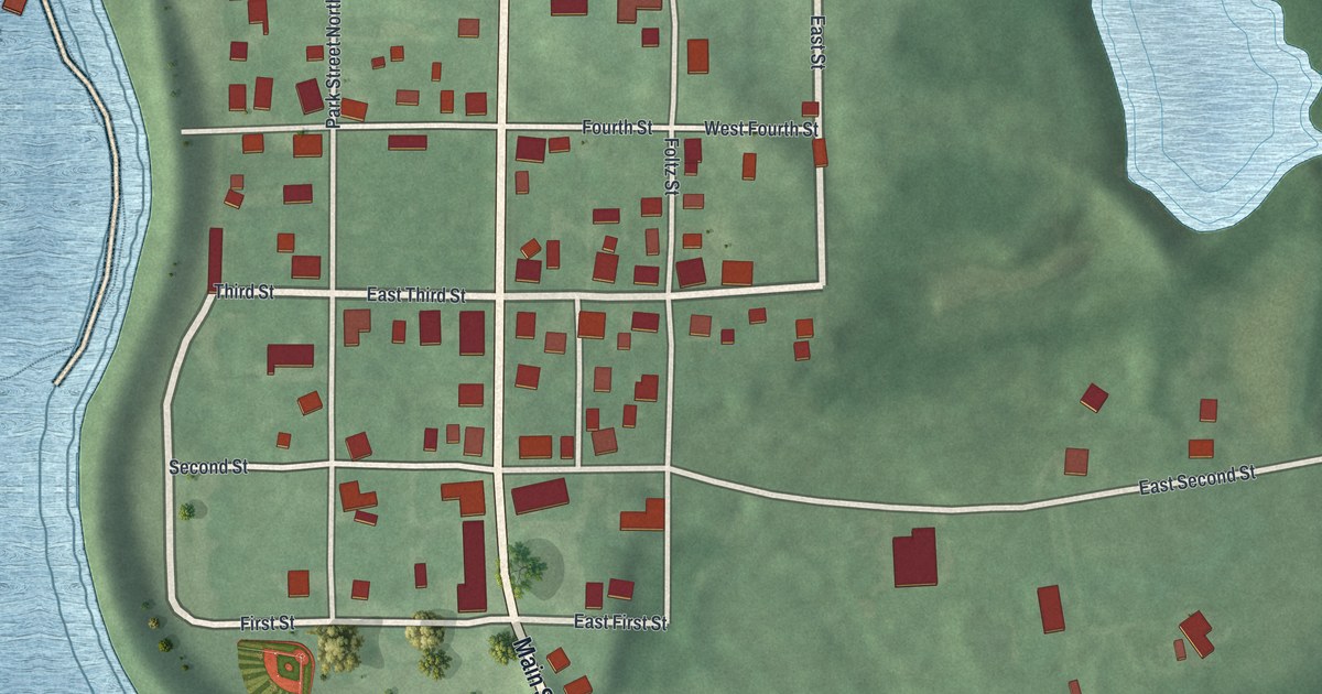
If you grew up in Zoar, or you've spent a summer day walking Main Street past the old garden, this map was made for you. It's a modern aerial view of the village of Zoar in Tuscarawas County, Ohio, built from modern data and given a vintage feel. The old street grid sits on a green rise, with wide blue water to the west and south. A branching lake in the Zoar Wildlife Area reaches in from the top right, and small red shapes mark each building.
Main Street and the Numbered Streets of Zoar
On this map you'll find Main Street, Fifth Street, Fourth Street, Third Street, Seventh Street, Sixth Street, Lake Drive, Foltz Street, Park Street Northeast, East Second Street, Dover Zoar Road, Micheal Lane, Hickory Lane, Zoar Cemetery, Zoar Wetland, and more. Each red shape is a building, so zoom in on the preview and look for yours.
How the Separatists Built Zoar
Zoar was started in 1817 by German religious dissidents. They called themselves the Society of Separatists of Zoar. Their first years were hard. So in 1819 they chose to share everything, to keep every family safe. An Ohio historical marker on Main Street says Zoar became one of the most successful experiments in communal living of the 1800s. To pay off their land, members built part of the Ohio and Erie Canal. They finished that work in 1827. Later they built the Town Hall on Main Street, in 1887. The Society lasted until 1898.
The Zoar Garden, the Meeting House and God's Acre
You can still trace their faith on these streets. The Zoar Garden is on Main Street, halfway between Third Street and Fourth Street. Travelers wrote about it as early as 1829, and it was filled mostly with flowers. The Meeting House stands where Fifth Street meets Main Street. It was built in 1853. Men came in through the right door and women through the left. At the west end of Seventh Street is Zoar Cemetery, once called God's Acre. The early members didn't use headstones. They believed all were equal in death. Fifty people lost to cholera in 1834 are buried there.
Zoar's Main Street on Your Wall
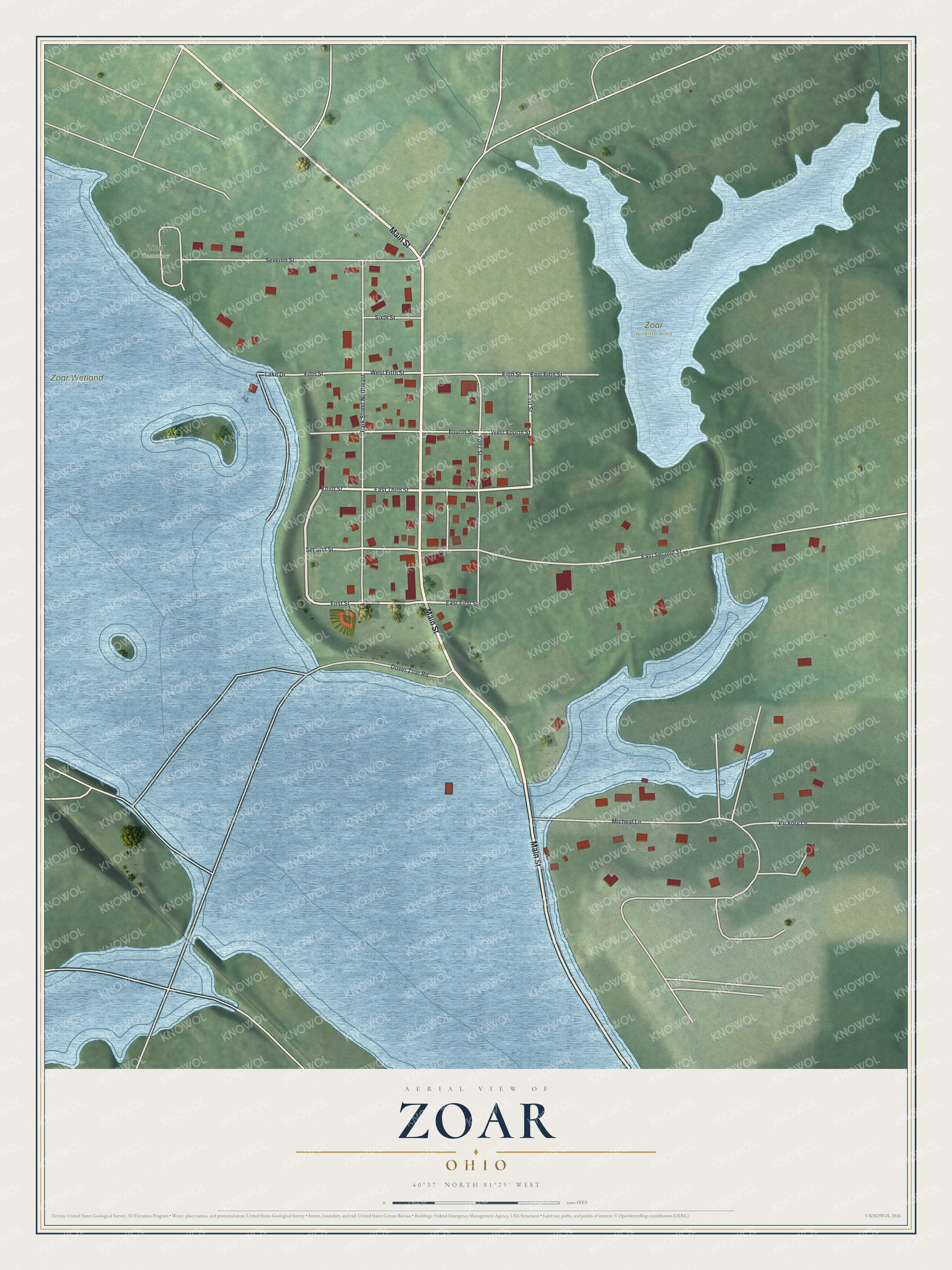
Created by KNOWOL in 2026, this print shows Zoar from above in soft greens and blues, with white roads and red building shapes. The title panel reads Aerial View of Zoar, Ohio, with the line 40°37' North 81°25' West.
It fits a living room, a front hall or a quiet study. It's a good gift for anyone who knows the Zoar Garden on Main Street, or for someone who moved away and still thinks of home. Open the preview and find your street. See sizes and frames for the Zoar map.