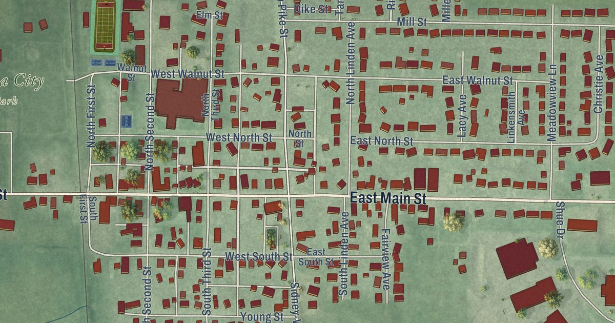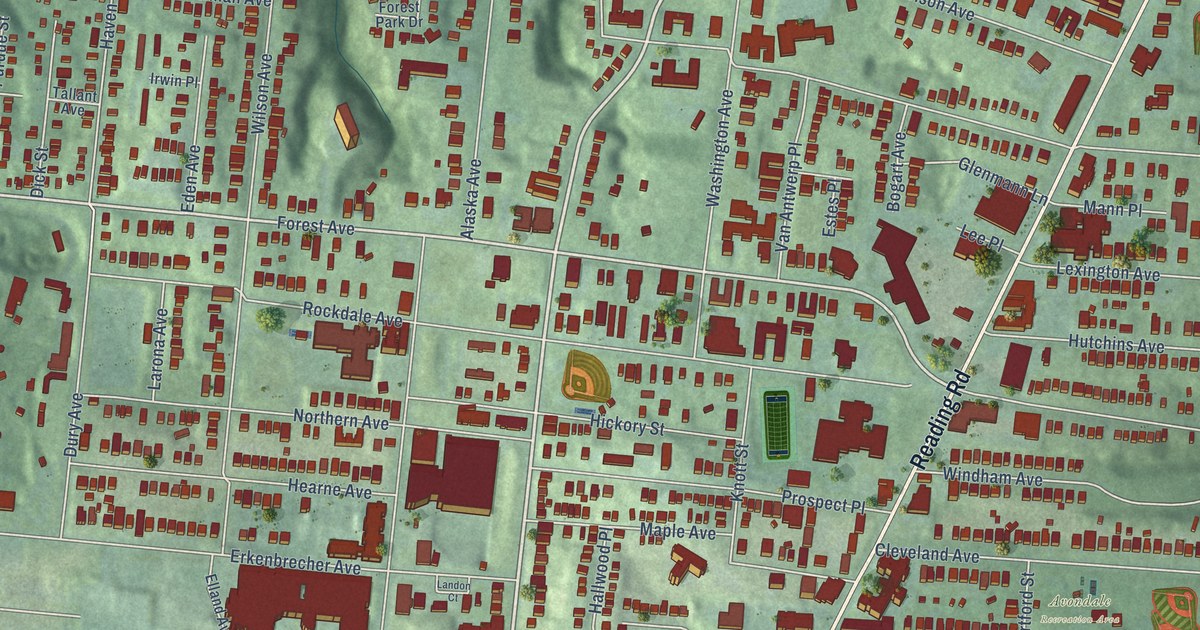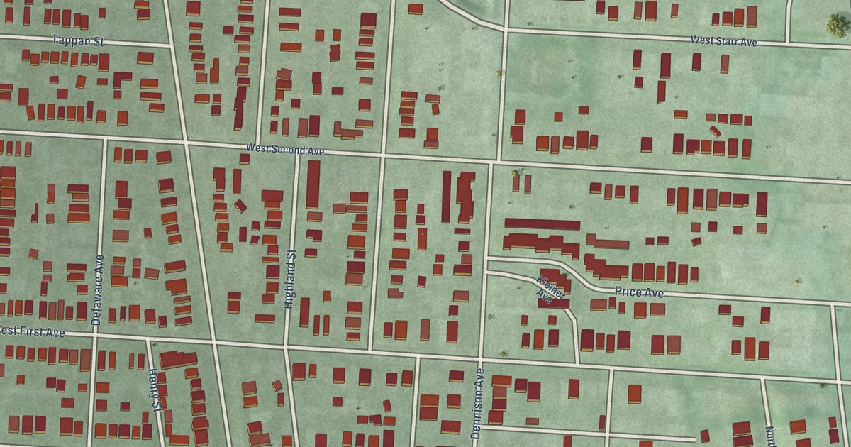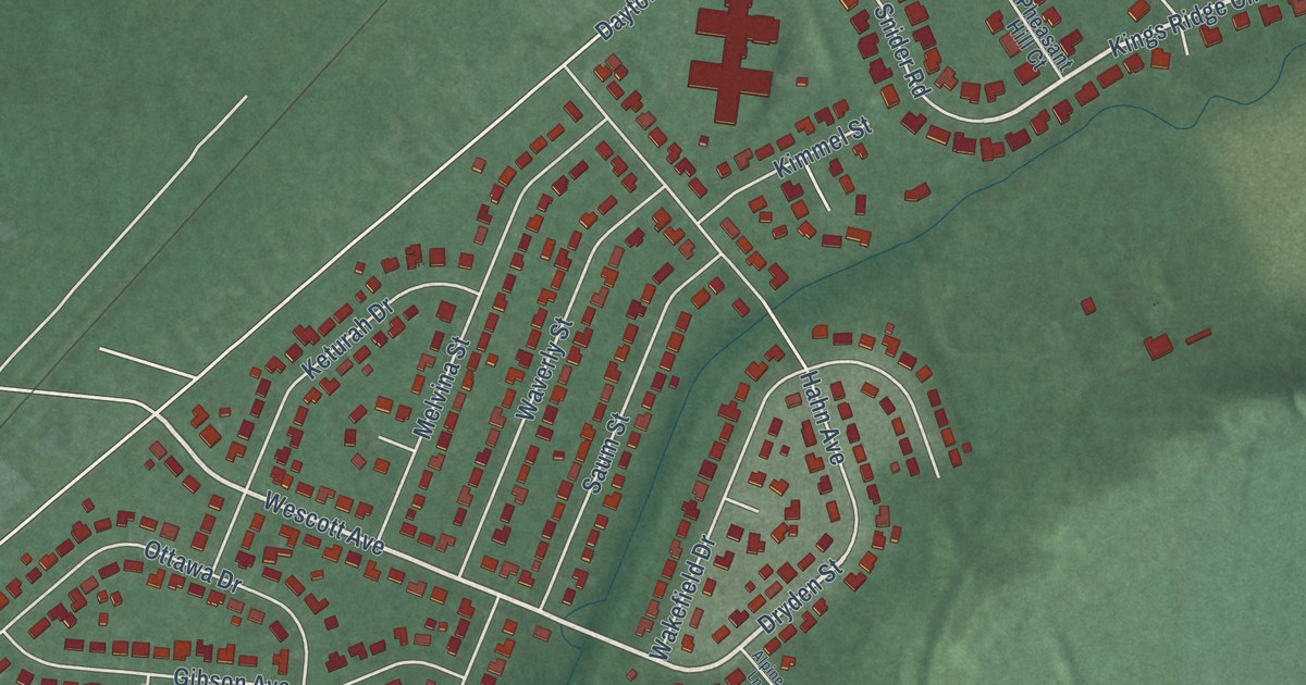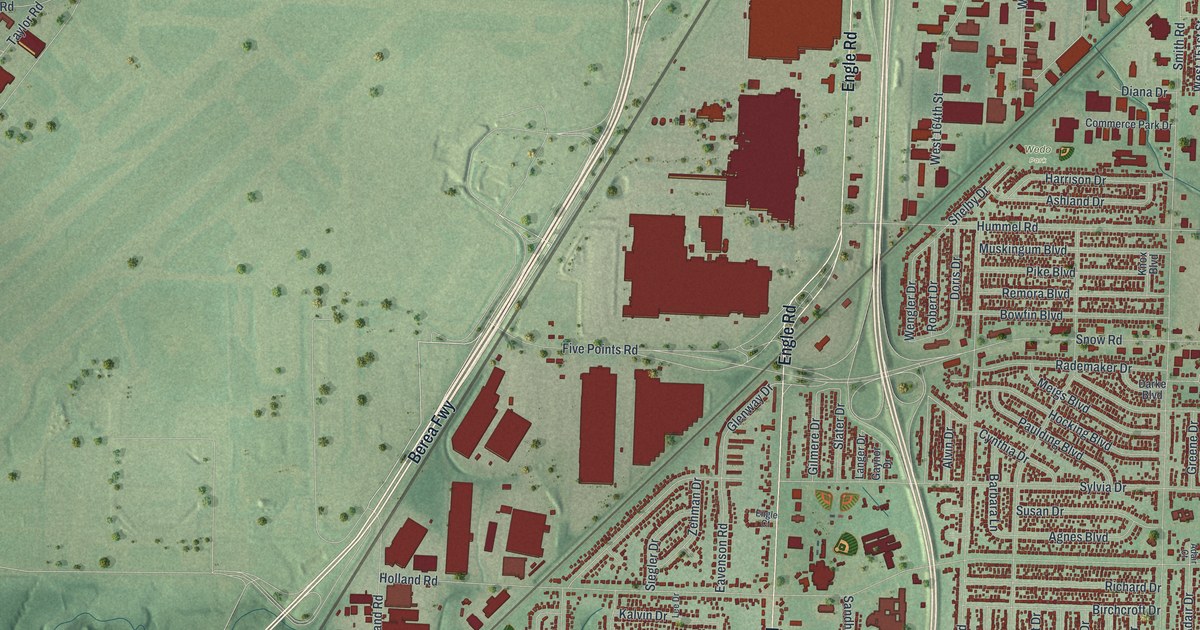
This beautifully detailed map of Brook Park, Ohio was created in 2026 using aerial imagery combined with modern topographical, census, street and landmark data. It’s a one-of-a-kind view of Brook Park that combines accurate data with a vintage aesthetic. The map shows every building in its true location, many of the roads carry their names, and the shaded topographic relief shows the shape of the land.
Explore an aerial view of Brook Park, Ohio
On the map you’ll find McKinley, Holy Cross Cemetery, Wedo Park, and Berea Fwy, along with Engle Road, Brookpark Road, Glenway Drive, West 130th Street, Sheldon Road, Holland Road, Snow Road, Sylvia Drive, and more. If you look closely you can even find your house accurately drawn in its correct location. Zoom in on the preview to look for yours.
Take a closer look at the Brook Park map
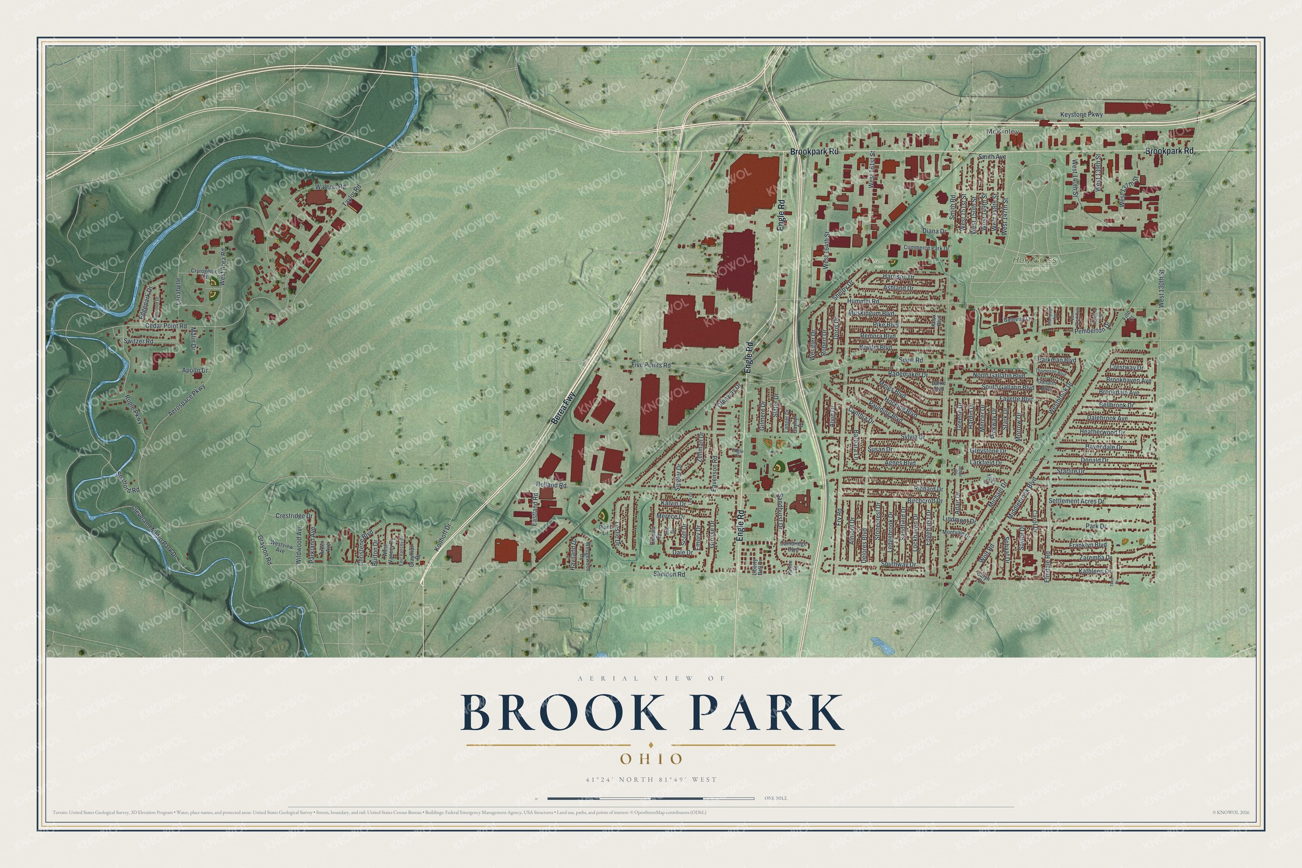
Street and place names on the Brook Park, Ohio map
These names are printed on the map of Brook Park, Ohio.
Places: McKinley, Holy Cross Cemetery and Wedo Park.
Streets and roads: Berea Fwy, Engle Road, Brookpark Road, Glenway Drive, West 130th Street, Sheldon Road, Holland Road, Snow Road, Sylvia Drive, Smith Road, Hummel Road, Middlebrook Boulevard.
More street names, A to Z
Adair Court, Adair Drive, Aerospace Parkway, Agnes Boulevard, Almont Drive, Alvin Drive, Apollo Drive, Arden Avenue, Ashland Drive, Barbara Lane, Bellbrook Drive, Birchcroft Drive, Bowfin Boulevard, Brookdale Avenue, Brookhaven Avenue, Burton Drive, Cambridge Boulevard, Carol Drive, Caryn Drive, Cedar Point Road, Champaign Avenue, Christene Boulevard, Claudia Drive, Cleveland Metro Park Drive, Commerce Park Drive, Crestridge Drive, Crestway Drive, Cryrogenic Road, Cynthia Drive, Dalebrook Avenue, Dale Drive, Darke Boulevard, Delores Boulevard, Diana Drive, Donald Drive, Doris Drive, Eastland Road, East Vancey Drive, Eavenson Road, Edgehurst Drive, Edgepark Drive, Elmdale Road, Emory Drive, Engle Court, Fayette Boulevard, Fillo Court, Five Points Road, Franklyn Boulevard, Fry Road, Gallatin Boulevard, Gateway Lane, Gaynor Drive, Gilmere Drive, Grayfriar Drive, Grayton Road, Greene Drive, Greystone Drive, Grosse Drive, Hardin Drive, Harrison Drive, Harrow Drive, Havendale Drive, Haviland Drive, Heatherwood Drive, Hio Drive, Hocking Boulevard, Kalvin Drive, Kathleen Drive, Keystone Parkway, Knox Boulevard, Kolthoff Drive, Lanabelle, Langer Drive, Larkfield Drive, Ledgebrook Drive, Lee Drive, Leslie Drive, Liberty Bell Drive, Lindmont Drive, Lockhaven Drive, Malin Drive, Meigs Boulevard, Mercer Drive, Merece Drive, Michael Drive, Montvale Drive, Morrow Drive, Muskingum Boulevard, North Gallatin Boulevard, Norwood Drive, Park Circle, Park Drive, Parkland Avenue, Parkman Boulevard, Paulding Boulevard, Pemberton Drive, Pickway Drive, Pike Boulevard, Plant Lane, Rademaker Drive, Remora Boulevard, Richard Drive, Richwood Avenue, Robert Drive, Ruple Parkway, Sandfield Drive, Sandhurst Drive, Saylor Drive, Schaaf Drive, Scott Drive, Settlement Acres Drive, Shelby Drive, Siegler Drive, Slater Drive, Smith Avenue, South Gallatin Boulevard, Southway Drive, Spafford Road, Stark Drive, Starlite Drive, Stonecrest Drive, Susan Drive, Switzer Road, Taylor Road, Terre Drive, Thompson Boulevard, Van Wert Avenue, Walcott Road, Wedgewood Drive, Wengler Drive, West 137th Street, West 139th Street, West 140th Street, West 147th Street, West 148th Street, West 149th Street, West 150th Street, West 151st Street, West 161st Street, West 164th Street, West Area Road, Westbrook Drive, West Vancey Drive, Westview Avenue, Wildwood Avenue, Wolf Road, Zaremba Drive, Zehman Drive.
See the Brook Park, Ohio map on a wall
The Brook Park map as an 18 x 24 inch print in a black frame.

This beautifully detailed map of Brook Park makes an attractive addition to your office, library, or den, and it can even be used to teach children the geography and history of the area. It also makes a great gift for someone who left Brook Park and still calls it home. When you’re done exploring, click here to get your copy of the Brook Park map.