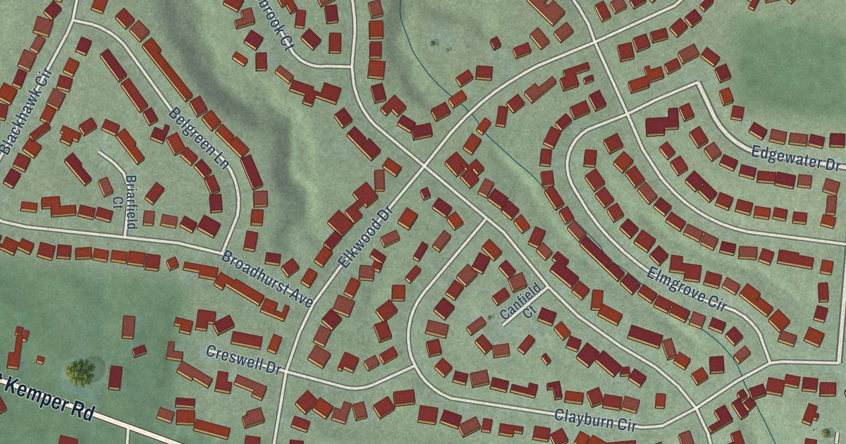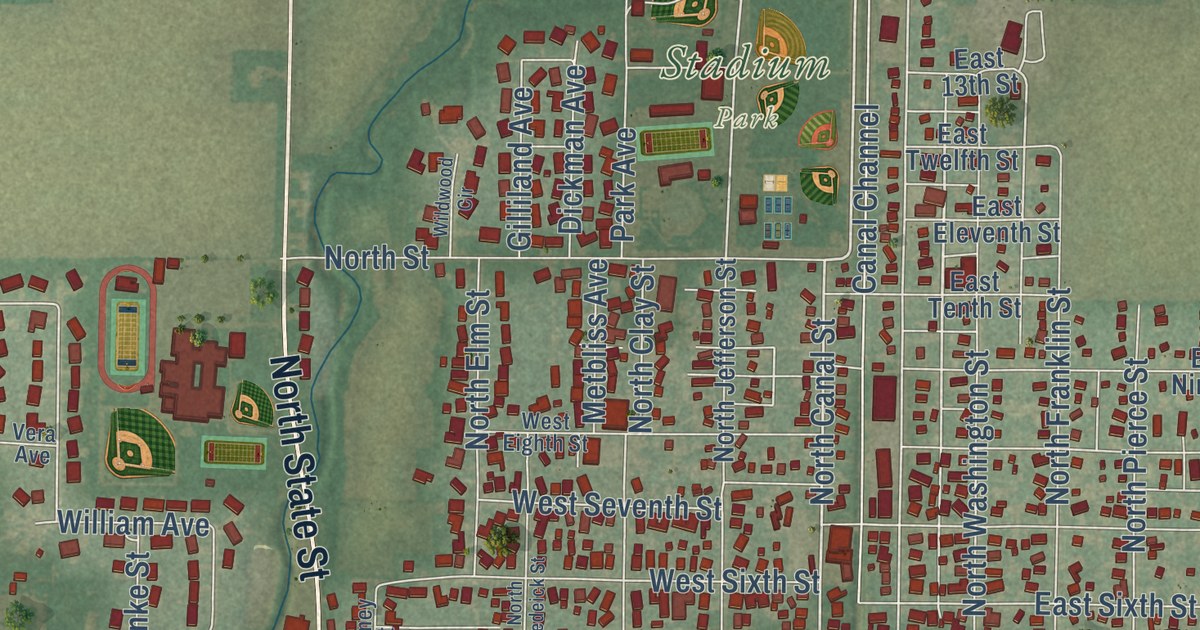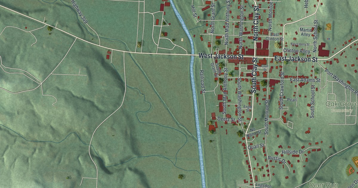
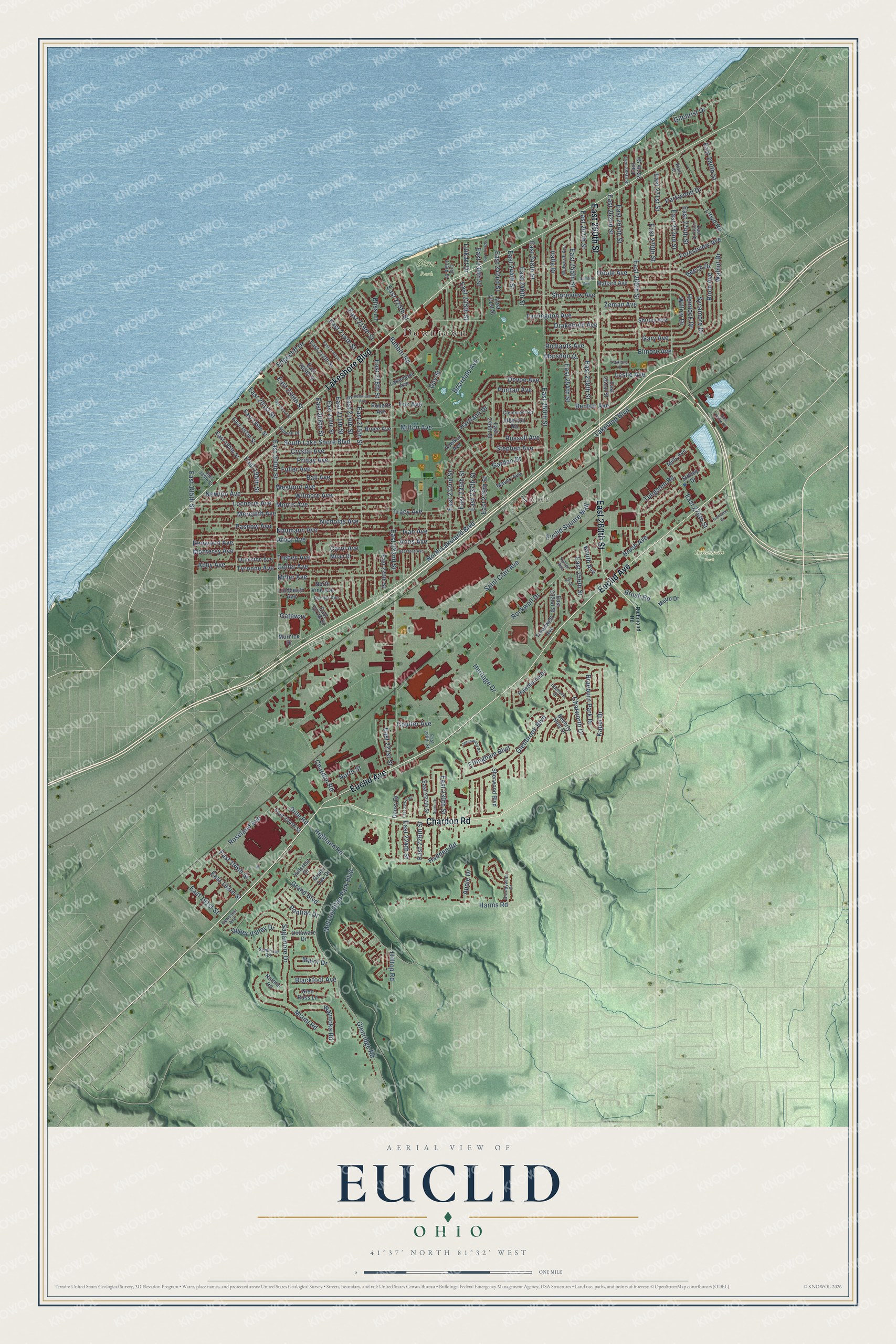
This beautifully detailed map of Euclid, Ohio was created in 2026 using aerial imagery combined with modern topographical, census, street and landmark data. It’s a one-of-a-kind view of Euclid that combines accurate data with a vintage aesthetic. The map shows every building in its true location, many of the roads carry their names, and the shaded topographic relief shows the shape of the land.
Explore an aerial view of Euclid, Ohio
On the map you’ll find Downtown, Noble, Euclid Memorial Park, Hillandale Park, and Sims Park, along with Euclid Avenue, Chardon Road, Lakeshore Boulevard, East 260th Street, North Lakeland Boulevard, Hilltop Road, East 228th Street, and more. If you look closely you can even find your house accurately drawn in its correct location. Zoom in on the preview to look for yours.
Did you know this piece of Euclid, Ohio history?
The city took its name from Euclid of Alexandria, the Greek mathematician of ancient times. Surveyors mapped the township in 1796, and major settlement began in 1804. Joseph and Chloe Burke were among its first settlers. The village incorporated in 1903 and became a city in 1930.
Take a closer look at the Euclid map
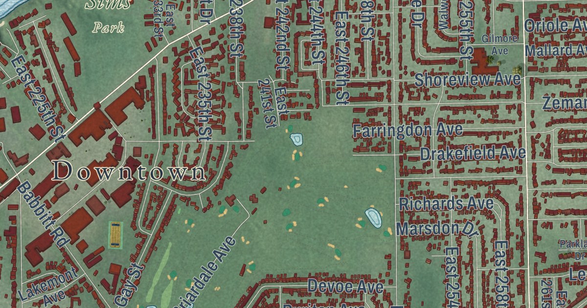
Street and place names on the Euclid, Ohio map
These names are printed on the map of Euclid, Ohio.
Places: Downtown, Noble, Hillandale Park and Sims Park.
Streets and roads: Euclid Avenue, Chardon Road, Lakeshore Boulevard, East 260th Street, North Lakeland Boulevard, Hilltop Road, Heritage Drive, Willow Drive, Gilchrist Drive, Dille Road, East 222nd Street, Saint Clair Avenue.
More street names, A to Z
Abby Avenue, Alberton Road, Apple Drive, Arbor Avenue, Ardwell Drive, Arms Avenue, Babbitt Road, Ball Avenue, Beckford Avenue, Beech Drive, Benton Avenue, Beverly Hills Drive, Birch Avenue, Blackfoot Avenue, Bliss Lane, Braeburn Park Drive, Brandywine Drive, Briardale Avenue, Bruce Avenue, Brush Avenue, Brush Road, Carol Avenue, Chatworth Drive, Coulter Avenue, Crystal Avenue, Dansy Drive, Delaware Drive, Devoe Avenue, Drakefield Avenue, East 185th Street, East 189th Street, East 191st Street, East 193rd Street, East 194th Street, East 195th Street, East 196th Street, East 197th Street, East 199th Street, East 200th Street, East 201st Street, East 203rd Street, East 204th Street, East 206th Street, East 207th Street, East 208th Street, East 209th Street, East 210th Street, East 211th Street, East 212th Street, East 213th Street, East 214th Street, East 215th Street, East 216th Street, East 218th Street, East 219th Street, East 220th Street, East 221st Street, East 223rd Street, East 224th Street, East 225th Street, East 226th Street, East 227th Street, East 228th Street, East 230th Street, East 232nd Street, East 233rd Street, East 235th Street, East 236th Street, East 237th Street, East 238th Street, East 239th Street, East 240th Street, East 241st Street, East 242nd Street, East 244th Street, East 246th Street, East 248th Street, East 250th Street, East 252nd Street, East 254th Street, East 255th Street, East 256th Street, East 257th Street, East 258th Street, East 261st Street, East 262nd Street, East 264th Street, East 265th Street, East 266th Street, East 267th Street, East 270th Street, East 271st Street, East 272nd Street, East 274th Street, East 275th Street, East 276th Street, East 280th Street, East 286th Street, Edgecliff Drive, Effingham Boulevard, Elinore Avenue, Euclid Square Mall, Farringdon Avenue, Forestview Avenue, Fox Avenue, Fuller Avenue, Garden Drive, Gary Avenue, Gateway, Gay Street, Genesee Avenue, Gilmore Avenue, Glenbrook Boulevard, Glenforest Road, Glenridge Road, Glen Russ Lane, Goller Avenue, Grand Boulevard, Green Oak Drive, Greenwood Road, Hadden Road, Hall Court, Halle Drive, Harms Road, Hartland Drive, Hawthorne Drive, Hemlock Drive, Highland Road, Hillcrest Drive, Idlehurst Drive, Ivan Avenue, Kapel Drive, Kennison Avenue, Knuth Avenue, Lakeland Boulevard, Lakemont Avenue, Leslie Avenue, Lindbergh Avenue, Lloyd Road, Locherie Avenue, Luikart Drive, Major Drive, Mallard Avenue, Marsdon Drive, Mavec Avenue, Meredith Avenue, Metro Drive, Metropolitan Park Boulevard, Miami Road, Milan Drive, Miller Avenue, Mills Avenue, Milton Avenue, Monterey Avenue, Morris Avenue, Murnick Drive, Natona Road, Naumann Avenue, Newton Avenue, Nicholas Avenue, North Street, North Vine Avenue, Oriole Avenue, Ormiston Avenue, Parklane Drive, Parkwood Drive, Pasnow Avenue, Pontiac Drive, Priday Avenue, Property Line, Puritan Avenue, Recher Avenue, Renwood Avenue, Richards Avenue, Richmond Road, Roberts Avenue, Rockwell Drive, Roseland Avenue, Russell Avenue, Sagamore Drive, Seminole Road, Sherwood Boulevard, Shirley Avenue, Shoreview Avenue, Sidney Drive, South Lake Shore Boulevard, Spino Drive, Stephen Avenue, Sulzer Avenue, Sycamore Drive, Tracy Avenue, Treadwell Avenue, Trebec Avenue, Tremaine Drive, Tungsten Road, Tyronne Avenue, Upper Valley Drive, Voelker Avenue, Walnut Drive, Walworth Avenue, Waynoka Road, Wells Court, Westport Avenue, Wilmore Avenue, Zeman Avenue.
See the Euclid, Ohio map on a wall
The Euclid map as an 18 x 24 inch print in a black frame.

This beautifully detailed map of Euclid makes an attractive addition to your office, library, or den, and it can even be used to teach children the geography and history of the area. It also makes a great gift for someone who left Euclid and still calls it home. When you’re done exploring, click here to get your copy of the Euclid map.