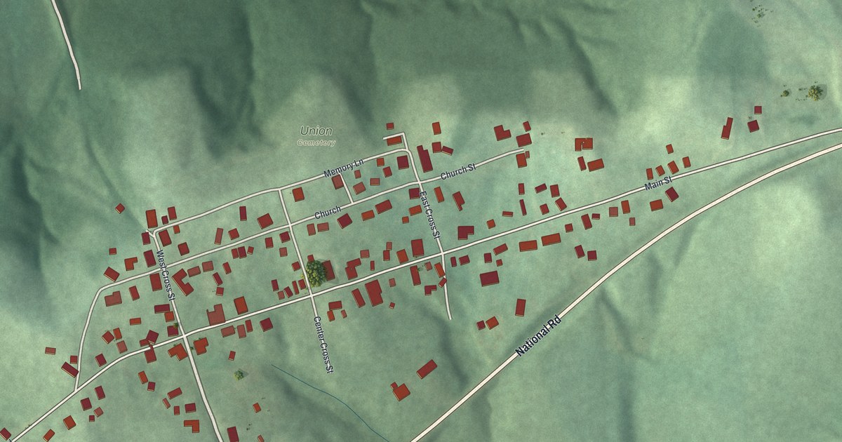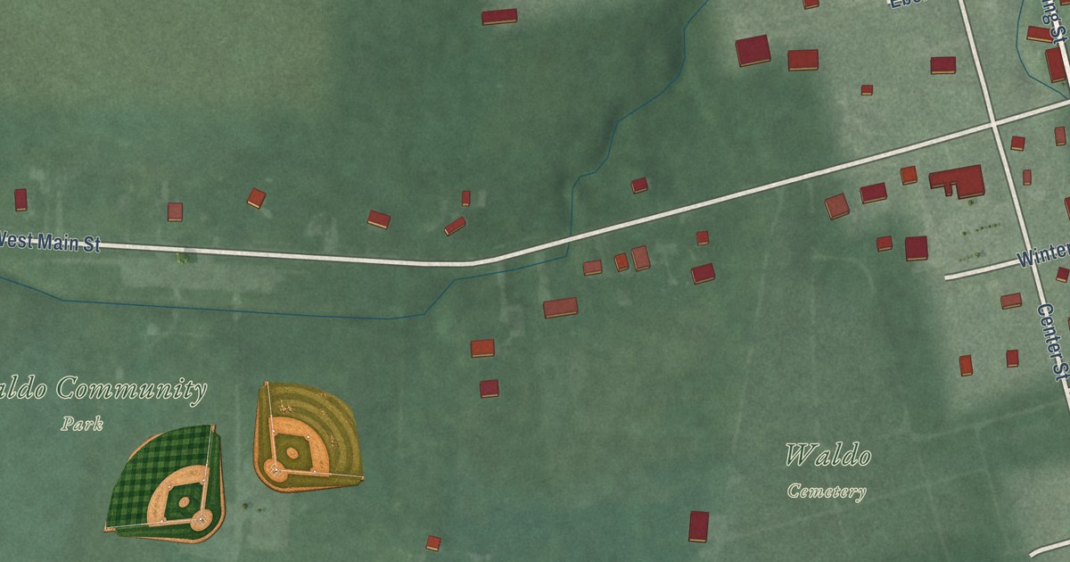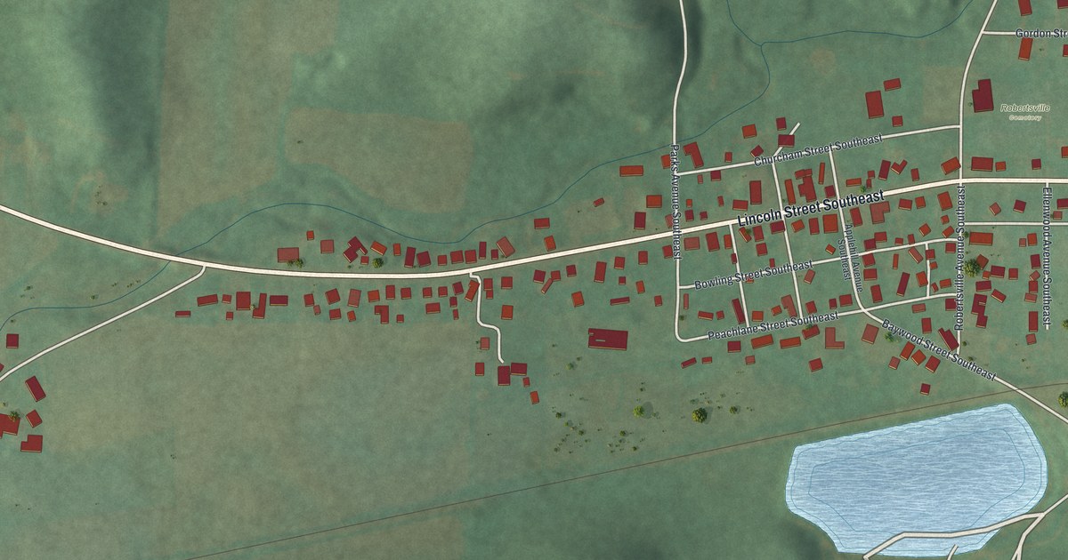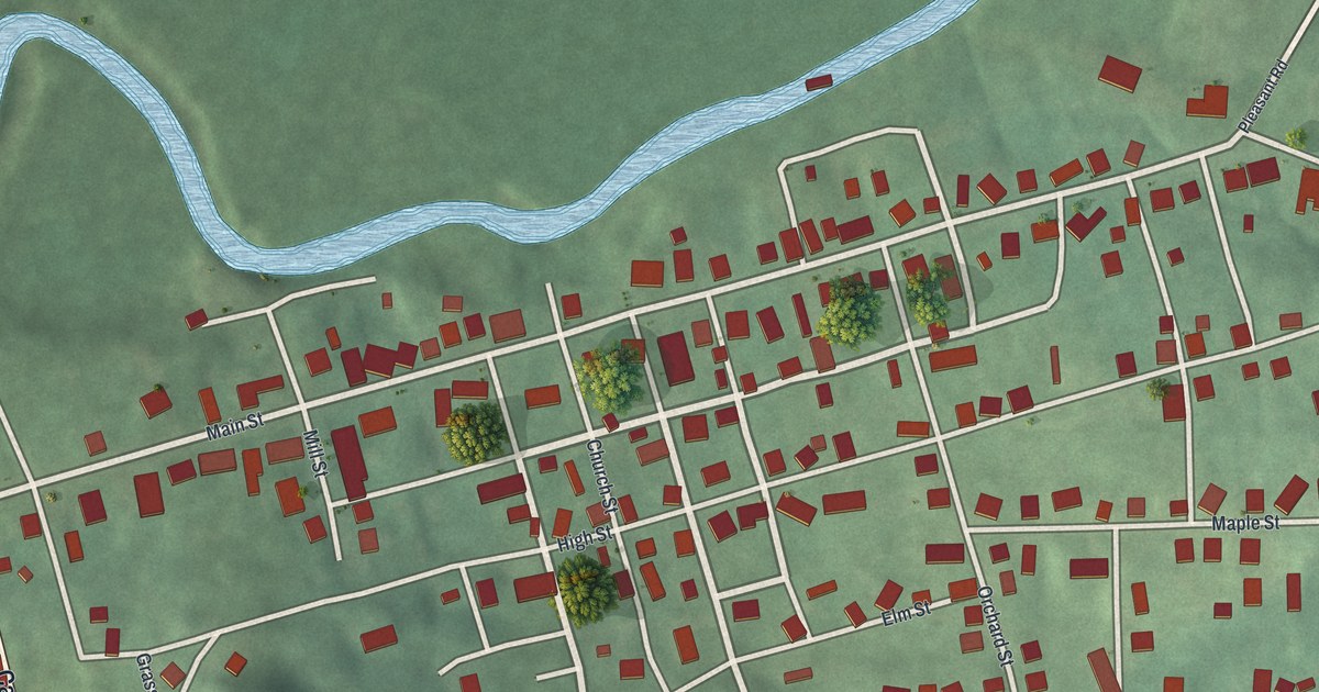
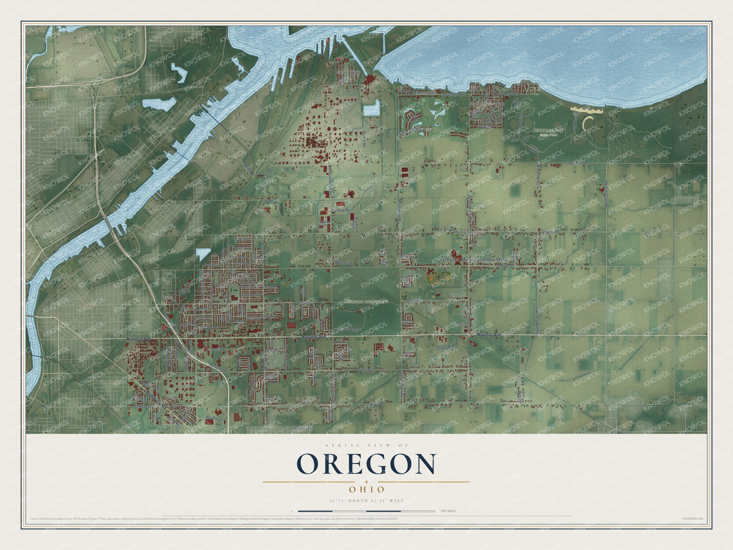
This beautifully detailed map of Oregon, Ohio was created in 2026 using aerial imagery combined with modern topographical, census, street and landmark data. It’s a one-of-a-kind view of Oregon that combines accurate data with a vintage aesthetic. The map shows every building in its true location, many of the roads carry their names, and the shaded topographic relief shows the shape of the land.
Explore an aerial view of Oregon, Ohio
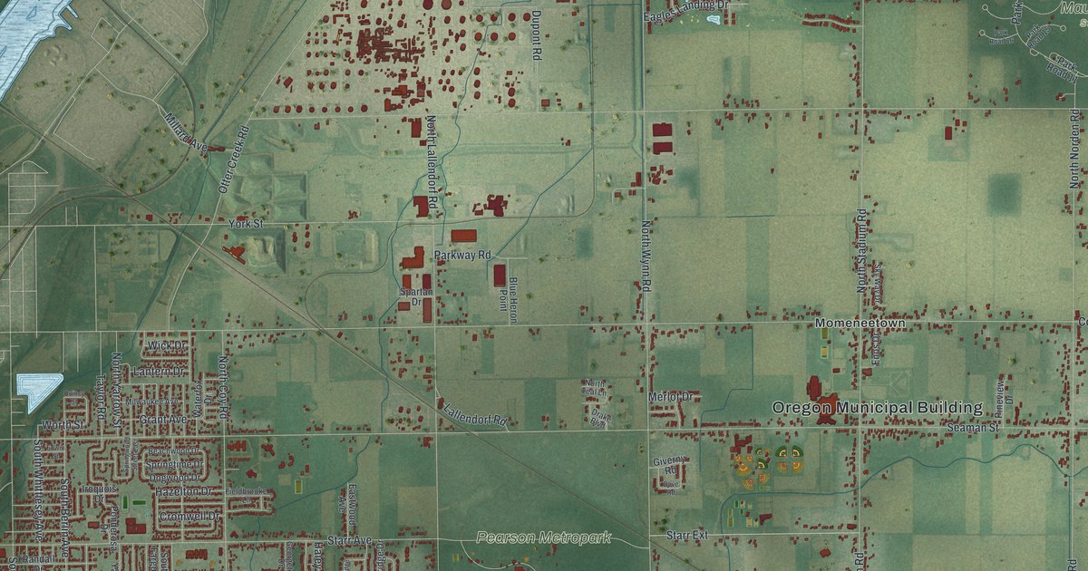
On the map you’ll find Oregon Municipal Building, Ryan, Maumee Bay State Park, Pearson Metropark, Booth, Harbor View, Immergrun, Momeneetown, Northcrest, and South Shore Park, along with Navarre Avenue, Woodville Road, and more. If you look closely you can even find your house accurately drawn in its correct location. Zoom in on the preview to look for yours.
Did you know this piece of Oregon, Ohio history?
The town was named by Pierre M. Irving. He was a nephew of Washington Irving, whose popular book Astoria told of John Jacob Astor’s fur trade in the Oregon territory. Pierre handled Astor’s fur interests east of the Maumee River, and he won that name for the settlement. In 1838 he left for New York and never came back.
Take a closer look at the Oregon map
Street and place names on the Oregon, Ohio map
These names are printed on the map of Oregon, Ohio.
Places: Oregon Municipal Building, Ryan, Maumee Bay State Park, Pearson Metropark, Booth, Harbor View, Immergrun, Momeneetown, Northcrest and South Shore Park.
Streets and roads: Navarre Avenue, Woodville Road, Worth Street, Groll Drive, Brown Road, Seaman Street, Corduroy Road, Pickle Road, Cedar Point Road, Starr Avenue, Bay Shore Road, Bayshore Road.
More street names, A to Z
Ansonia Street, Ashcroft Drive, Athens Road, Autokee Street, Bayberry Place, Bay Park Drive, Beachwood Drive, Blandin Street, Blue Heron Point, Bryan Road, Bury Road, Cambridge, Camelot Drive, Cardinal Bay Drive, Country Farms Drive, Cresceus Road, Cromwell Drive, Dearborn Avenue, Dike Drive, Dogwood Drive, Dove Road, Drake Boulevard, Drouillard Road, Dupont Road, Dustin Road, Eagles Landing Drive, Earlwood Avenue, Eastland Drive, Eastmoreland Drive South, Eastvale Avenue, Eastwood Avenue, Edwin Street, Enos Drive, Fieldbrooke Lane, Fleitz Drive, Foxridge Drive, Georgetown Drive, Giverny Road, Gladhaven Drive, Glenross Boulevard, Grand Bay Drive, Grant Avenue, Grasser Street, Grisell Road, Haley Drive, Hazelton Drive, Heritage Lane, Holly Drive, Iroquois Drive, Lagundovie Road, Lakeway Drive, Lallendorf Road, Landis Avenue, Lantern Drive, Laura Lane, Lilias Drive, Luther Hills Circle, Luverne Avenue, Lyn Drive, Maginnis Road, Mallard Drive, Mambrino Road, Mary Allen Drive, Merlot Drive, Merry Dell Drive, Millard Avenue, Milwaukee Avenue, Momany Street, Munding Drive, Nadir Drive, North Coy Road, North Curtice Road, North Lallendorf Road, North Norden Road, North Stadium Road, North Teal Lane, North Wynn Road, North Yarrow Street, Oakdale Avenue, Oaktree Court, Otter Creek Road, Park Place Drive, Park Road 1, Park Road 10, Park Road 11, Park Road 15, Park Road 16, Park Road 20, Park Road 23, Parkway Road, Patchen Road, Pearson Park Drive, Pearson Parkway, Pineview Drive, Ponderosa Drive, Quincy Street, Randall Drive, Reswick Drive, Schmidlin Road, Sewell Drive, Sky Way Drive, South Berlin Avenue, South Coy Road, South Fargo Street, South Lallendorf Road, South Norden Road, South Shore Boulevard, South Stadium Road, South Wheeling Street, South Whittlesey Avenue, South Wynn Road, South Yarrow Street, Spartan Drive, Spring Forest Drive, Springtime Drive, Springwood Street East, Stadium Road, Starr Extension, Sugarbush Road, Taft Avenue, Taylor Road, Toul Avenue, Towers Road, Townhouse Drive, Van Buren Avenue, Verdun Street, Waterfox Drive, Wick Drive, Worden Road, Wynn Park Drive, York Street.
See the Oregon, Ohio map on a wall
The Oregon map as an 18 x 24 inch print in a black frame.

This beautifully detailed map of Oregon makes an attractive addition to your office, library, or den, and it can even be used to teach children the geography and history of the area. It also makes a great gift for anyone with Oregon roots. When you’re done exploring, click here to get your copy of the Oregon map.