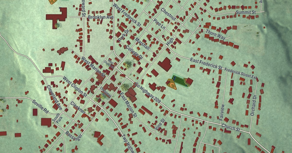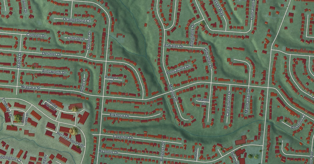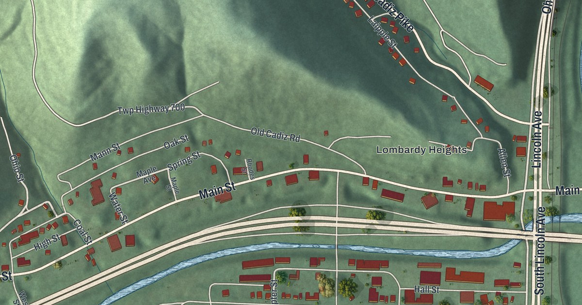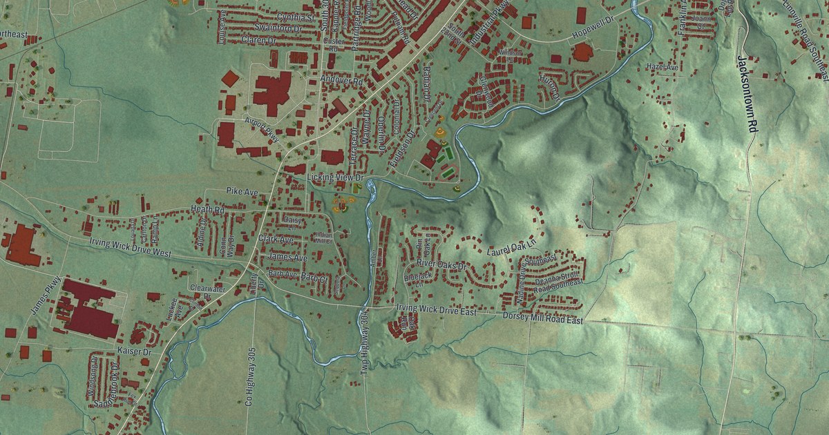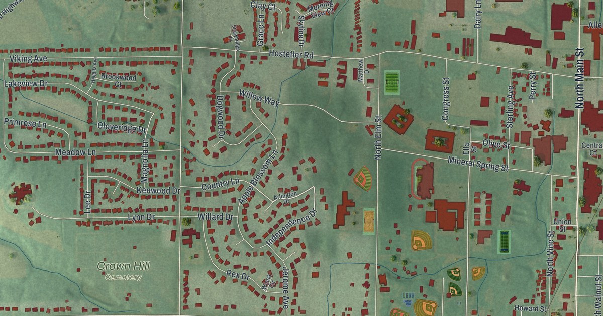
If you grew up in Orrville or still have family on its streets, this map was made with you in mind. It's a new aerial view of Orrville in Wayne County, Ohio, built from modern data and given a vintage look. You can see downtown around Orrville City Hall, North Main Street, Gailey Park, Crown Hill Cemetery, and the green farm fields all around the town.
How Judge Smith Orr put Orrville on the railroad
On this map you'll find North Main Street, South Main Street, West Market Street, East Market Street, West High Street, South Walnut Street, Depot Street, Smucker Road, Hostetler Road, Paradise Road, Orrville City Hall, Crown Hill Cemetery, Gailey Park, Auburn Estates, Little Chippewa Estates, and more. Each red shape is a building, so zoom in on the preview and look for yours.
Orrville began at a railroad crossing. The state historical marker at the Smith Orr Homestead tells the story. The town was founded in 1852 and named for Judge Smith Orr. He helped bring the railroad to Wayne County. Orr talked landowner Robert Taggart into splitting ten acres into town lots. Then he bought land from settlers Christian Horst, David Rudy and Peter Perrine. He hired Jesse Straughan to draw the first plat map, and that plan put the new town right on the crossing. Orrville was incorporated on May 9, 1864. It drew all kinds of factories. By 1873, it was the largest manufacturing town in Wayne County. On the map, you can still see the thin rail lines, and Depot Street is printed near Orrville City Hall.
The Smith Orr Homestead and other Orrville landmarks
The Smith Orr Homestead still stands on West Market Street. Today it's home to the Orrville Historical Society and Museum, and it's listed on the National Register. Two more Orrville buildings joined the Register in recent years. The Schantz Organ Company building at 626 South Walnut Street was listed in 2021. Its National Register nomination says the first floor holds rooms for chest layout and for milling. The J.M. Smucker House at 708 North Main Street was listed in 2022. Both of those streets are printed on this map.
Orrville City Hall and North Main Street on the map

Created by KNOWOL in 2026, this print shows Orrville from above in soft greens, with shaded ground, thin white roads and small red buildings. The title panel reads "Aerial View of Orrville, Ohio" with 40°51' North 81°46' West printed below.
It suits a living room, a front hall or a home office. It's a thoughtful gift for someone who moved away but still remembers North Main Street, or for a family that lives a few blocks from Gailey Park. Open the preview and find your own street. See sizes and frames for the Orrville map.