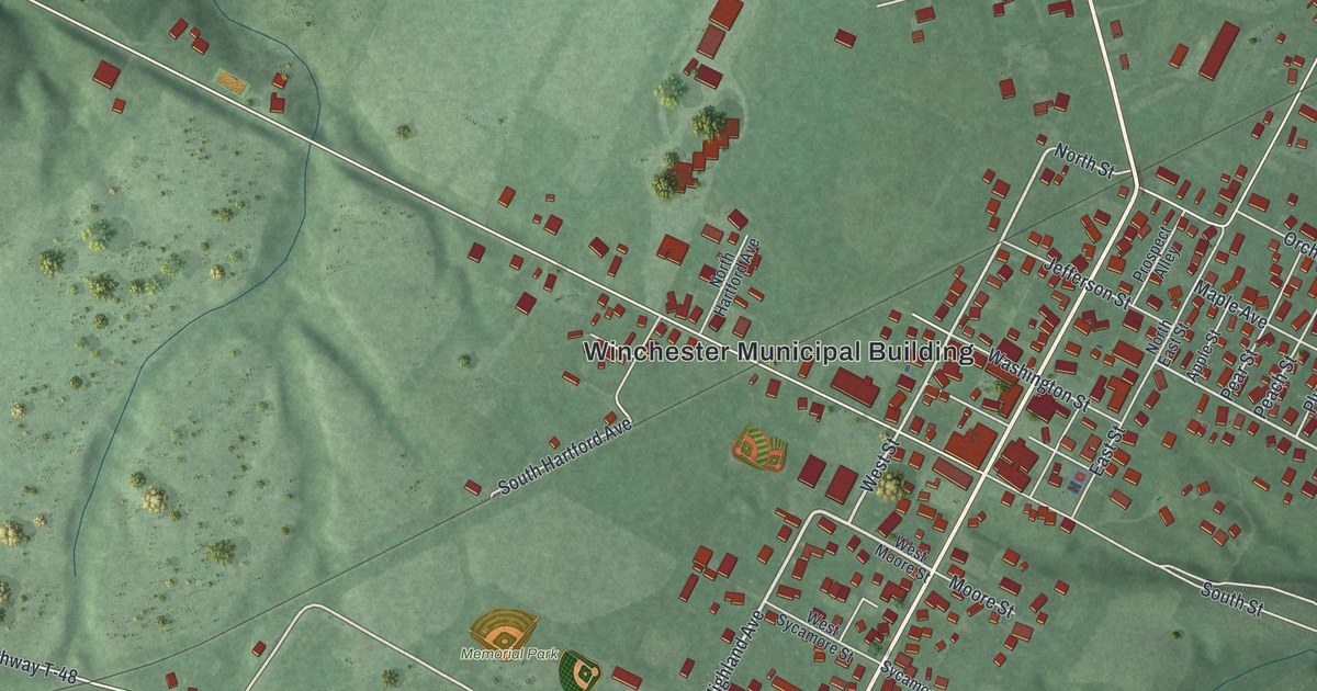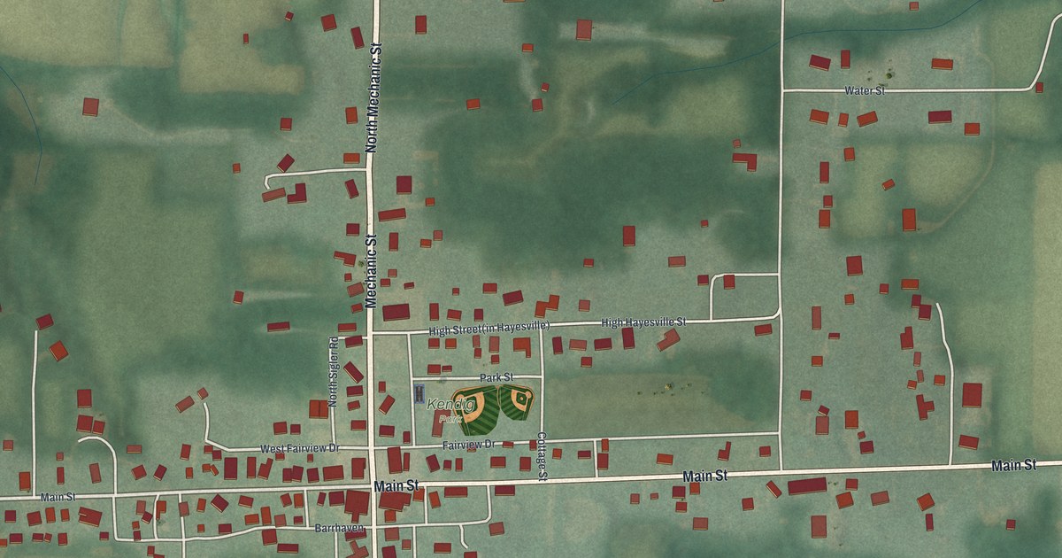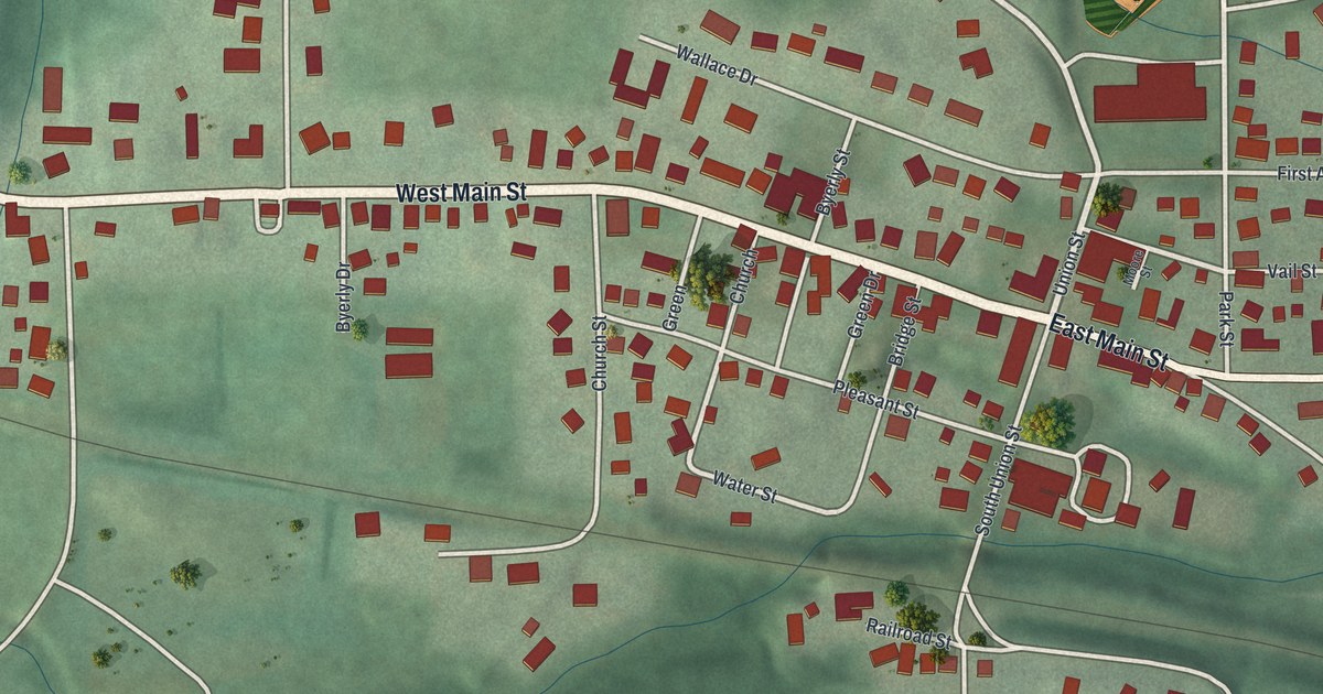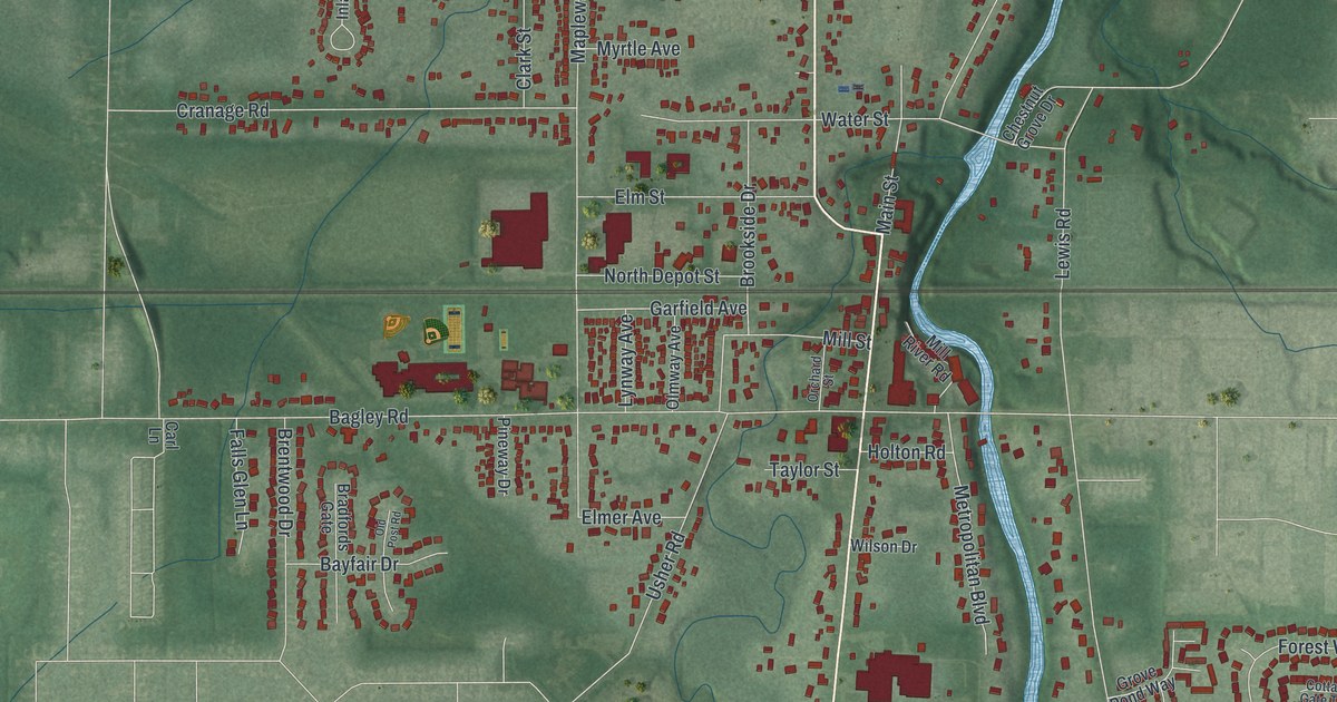
If you grew up in Olmsted Falls, or your family still lives off Columbia Road, this map puts home on your wall. It's a modern aerial view of Olmsted Falls in Cuyahoga County, Ohio, made from modern data and given a vintage look. The river winds down through the middle in pale blue. Rail lines cut across the green, and the old village streets cluster near the water. Newer neighborhoods curl out around the edges.
The Olmsted Falls Depot and the Tracks Through Town
On this map you'll find Columbia Road, Bagley Road, Sprague Road, Cook Road, Mapleway Drive, Water Street, Main Street, North Depot Street, Garfield Avenue, Brookside Drive, Lewis Road, River Road, Grist Mill Run, Chestnut Grove Drive, West View, and more. Each red shape is a building, so zoom in on the preview and look for yours.
The railroad shaped this town. The Lakeshore and Michigan Southern Railroad built the Olmsted Falls depot in 1876. It was part of big work on the line between Cleveland and Toledo. Before that, trains only made a small flag stop at the Columbia Road crossing. By 1909, the depot had a new home. It was moved from Mapleway Drive on rollers, pulled by a locomotive, to sit closer to the heart of the village. In the early 1900s, ten trains a day stopped there. One was called the Plug. It carried commuters back and forth to Cleveland.
By mid-century, cars and planes had largely replaced train travel.The last regular train stopped in 1949, and service ended for good in 1960. The building didn't go to waste. In 1977 it became home to the Cuyahoga Valley and Westshore Model Railroad Club. It joined the National Register in 2000, as the Ohio historical marker there tells it. Today it stands at Brookside Drive, in the old part of the village. On the map, look for the rail lines that cross the village near Columbia Road.
Chestnut Grove Cemetery Above the River
Chestnut Grove Cemetery sits above the west branch of Rocky River, just west of Lewis Road.Its seven acres were often called Turkey Foot, because turkeys roosted in the old trees. Settlers from New England rest there, along with veterans of six wars. Find it off Chestnut Grove Drive, near Lewis Road and the curve of the river.
Columbia Road and Home in Olmsted Falls
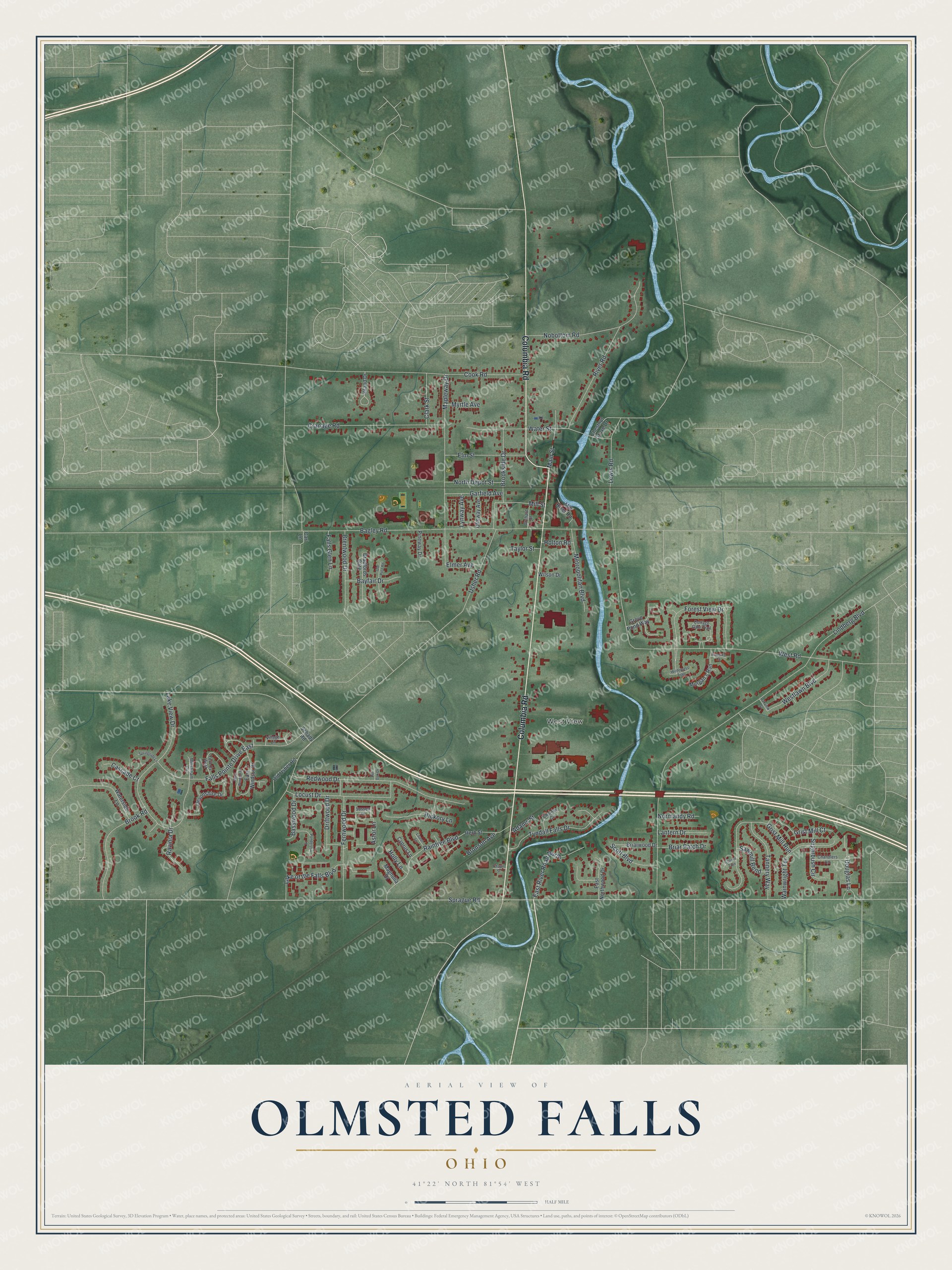
Created by KNOWOL in 2026, this print shows Olmsted Falls in soft greens with the river in pale blue and buildings in deep red. The title panel at the bottom reads "Aerial View of Olmsted Falls, Ohio" with the coordinates 41°22' North 81°54' West.
It fits a living room, a hallway, a home office or a kid's first apartment. It's a good gift for anyone who grew up near the old depot, or who moved away and wants Columbia Road on the wall. Open the preview and find your street. See sizes and frames for the Olmsted Falls map.