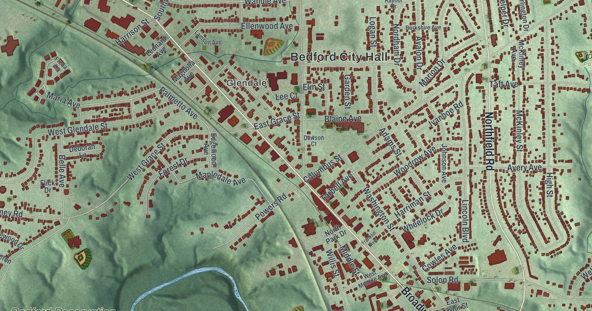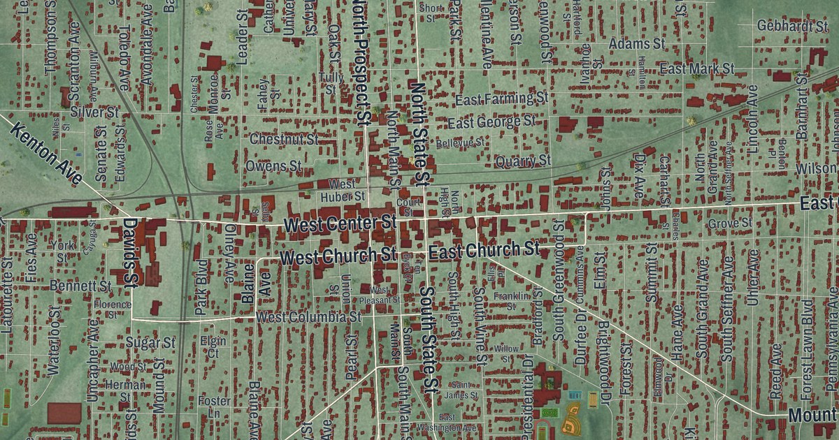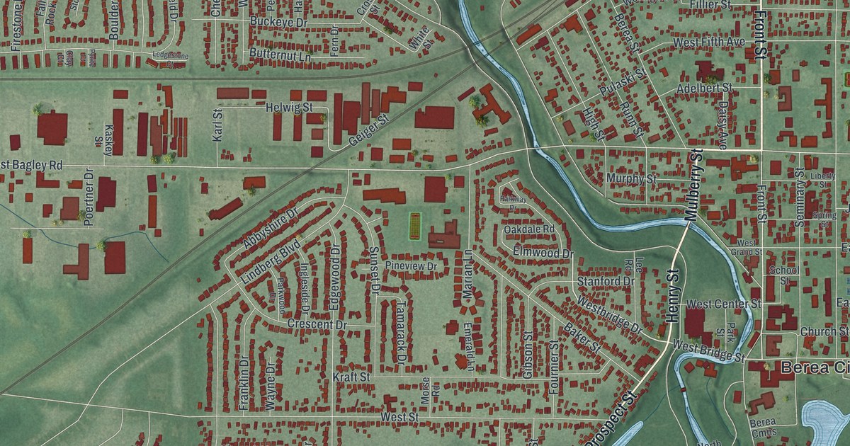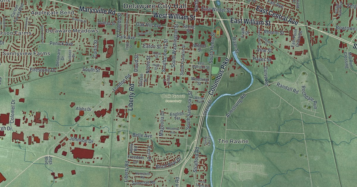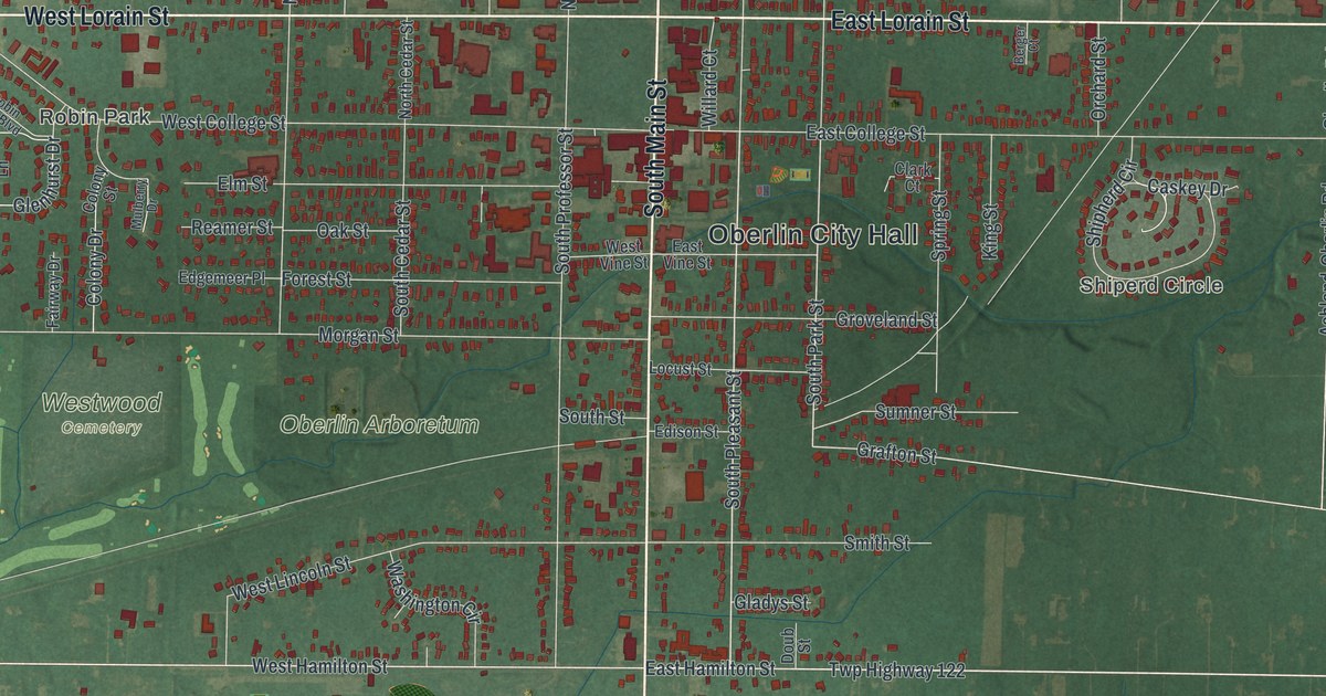
If you studied at Oberlin College, grew up in town or still have family near Main Street, this map gives you plenty to find. It's a modern aerial view of Oberlin in Lorain County, Ohio, made from modern data and given a vintage look. The town sits in the middle of the sheet, with more than 3,800 buildings drawn in red. Farm fields and shaded green land spread out on every side. Oberlin City Hall, Westwood Cemetery and the Oberlin Arboretum are all labeled. Explore the print options for Oberlin.
From Oberlin City Hall to Westwood Cemetery
Start at Oberlin City Hall, near the middle of the sheet. North Main Street and South Main Street run up and down just west of it. Go one block north and you'll reach East College Street and West College Street. Keep going and East Lorain Street and West Lorain Street cross the whole town. Follow West Lorain Street west. Robin Park sits just south of it, with Robin Park Boulevard running through it. Below that, Morgan Street heads west past the Oberlin Arboretum to Westwood Cemetery. Now go back to Main and head south past East Hamilton Street and West Hamilton Street. The road turns into North Ashland-Oberlin Road and runs south to Oberlin Road, in the lower part of the sheet. Out east, the round loop of Shipherd Circle sits by itself. Many of the roads are labeled, and each red shape is a building, so zoom in on the preview and look for yours.
How Charles Martin Hall made aluminum on East College Street
Here's a story to tell when someone asks about the map. Charles Martin Hall moved to Oberlin with his family in 1873. He studied chemistry at Oberlin College under Professor Frank Fanning Jewett and graduated in 1885. Back then, aluminum was a semi-precious metal. Jewett pushed Hall's interest in it. On February 23, 1886, Hall found a way to make aluminum metal with electricity. He did it in a woodshed lab at his family's home at 64 East College Street. His process became the basis for the aluminum industry in America. In 1888 he helped start the Pittsburgh Reduction Company, which later became the Aluminum Company of America. When he died in 1914, he left one-third of his estate to Oberlin College. The story is told on an Ohio historical marker at Jewett's old house on South Professor Street.
East College Street is printed on the map, running east from Main. The house number isn't marked, but South Professor Street is printed too, just west of Main. Teacher and student lived a short walk apart. Westwood Cemetery has its own story. The first burying ground, set aside soon after the town started in 1833, sat near Main, Morgan and Professor Streets. By 1861 the town needed more room. Westwood was dedicated in July 1864, about a mile west of the center of town. Over the next few years, hundreds of graves were moved there from the old ground and from nearby burying grounds. The cemetery's own marker says it grew to 47 acres. Follow Morgan Street west from Main on the map and you're going from the old ground to the new one.
For anyone who walked East College Street
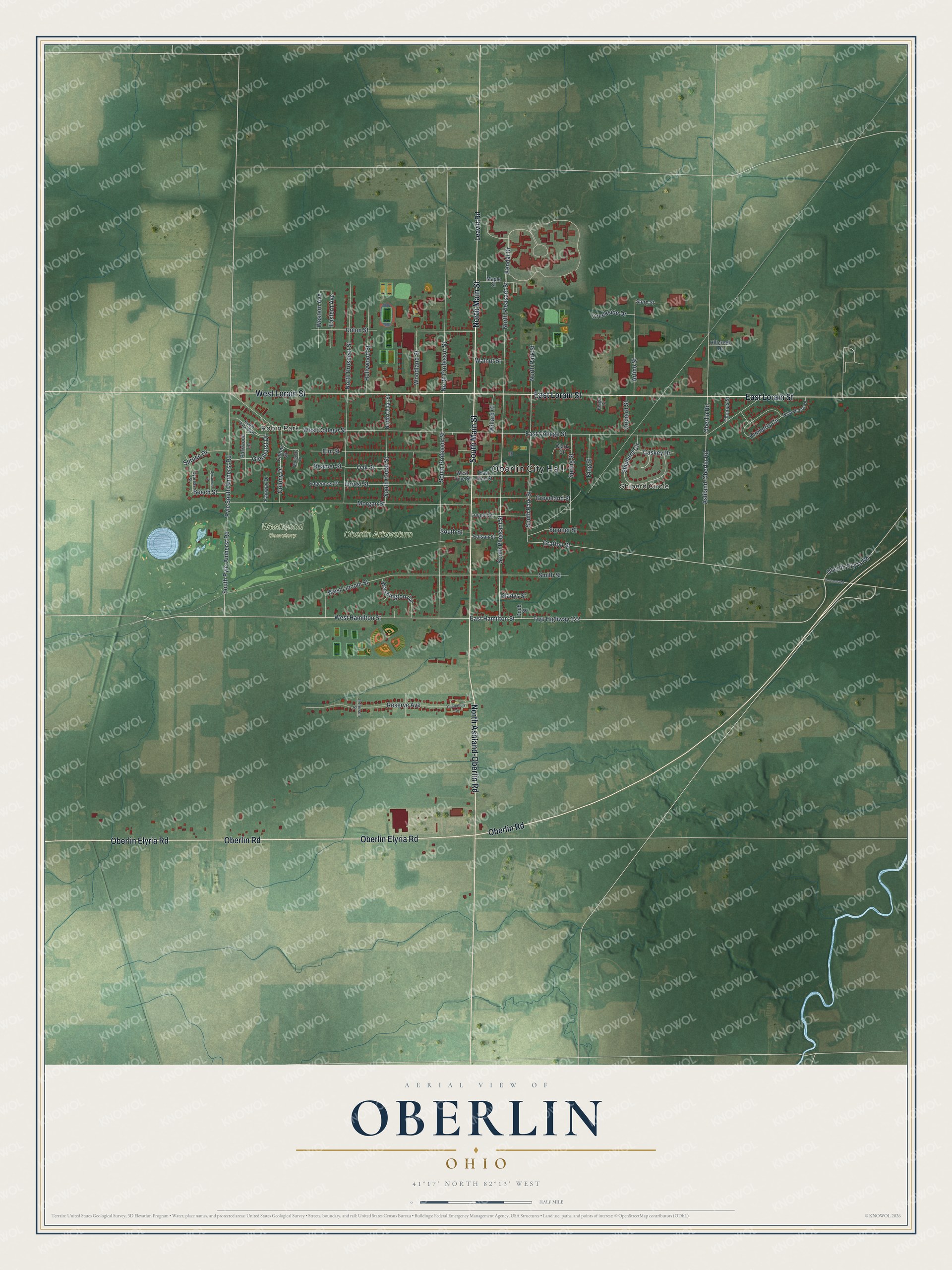
Created by KNOWOL in 2026, this map of Oberlin shows the town's red buildings on soft green land, with shading from USGS elevation data and farm fields reaching out to the edges. The title panel reads "Aerial View of Oberlin, Ohio," with the coordinates 41°17' North, 82°13' West and a half-mile scale bar.
It suits an office, a den or a dorm room, and it's a thoughtful gift for an Oberlin College grad, someone who grew up in town or a family that moved away. Open the preview, zoom in and find the streets you know. Shop the Oberlin, Ohio map.