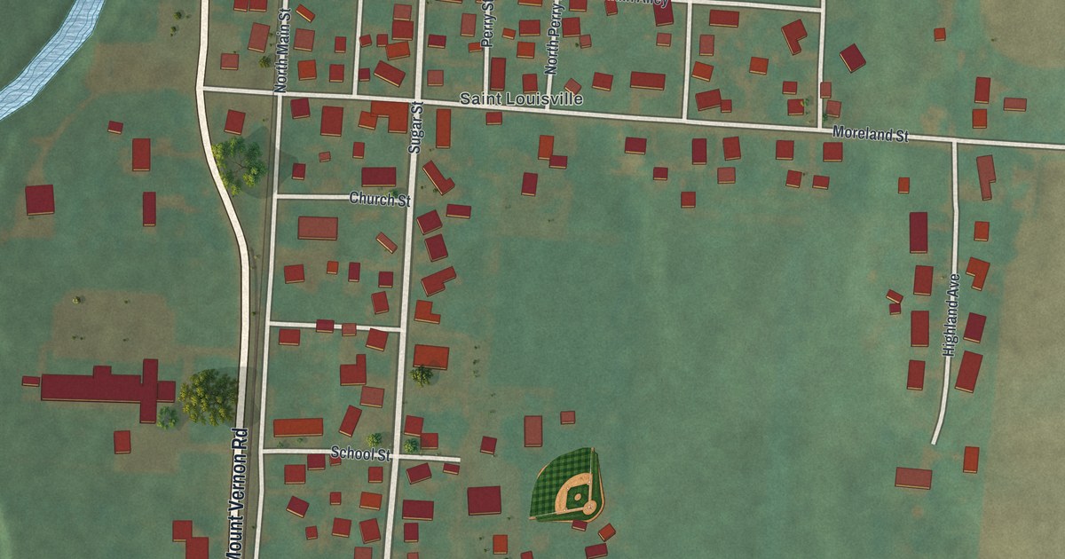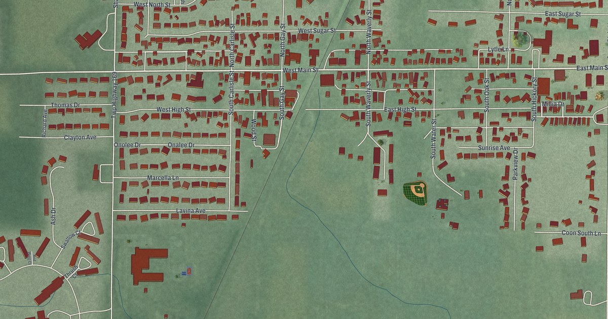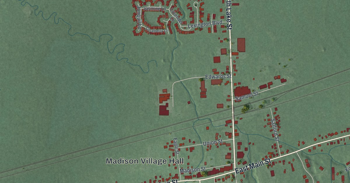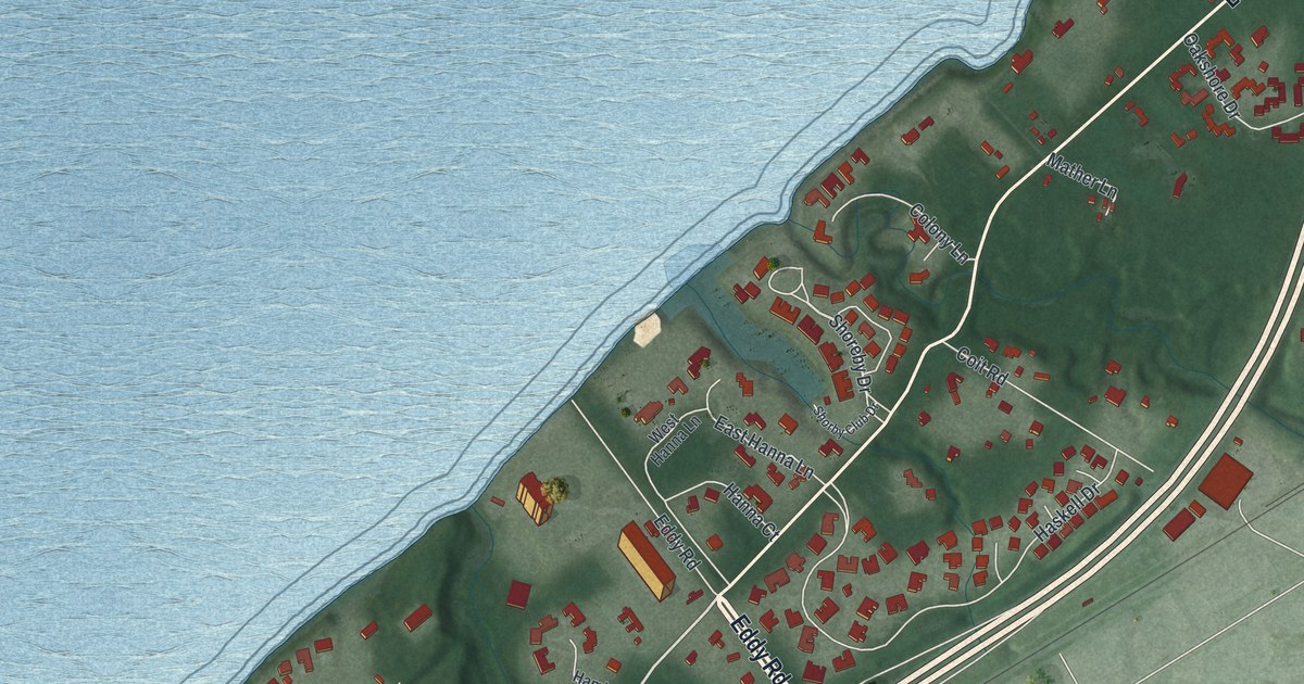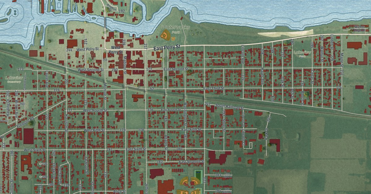
If you grew up in Port Clinton, or you have family near the docks off West Lakeshore Drive, this map is for you. It's a new aerial view of Port Clinton in Ottawa County, Ohio, made from modern data and given a vintage feel. Blue lake water fills the top of the sheet, with boat slips cut into the shore. Below it, the town's grid of streets holds more than 3,500 buildings, each one in red. Green fields and a long curving highway wrap around the south side.
East Perry Street, Waterworks Park and your block
On this map you'll find East Perry Street, West Perry Street, Madison Street, Jefferson Street, Adams Street, West Lakeshore Drive, West Harbor Road, Buckeye Boulevard, Fulton Street, Lincoln Avenue, Fremont Road, Waterworks Park, Lakeview Park, Lakeview Cemetery, Portage Park, Port Clinton City Hall, and more. Each red shape is a building, so zoom in on the preview and look for yours.
The Ottawa County Courthouse on Madison Street
Port Clinton is the county seat. Henry Howe wrote in 1891 that the town was laid out in 1827. Its courthouse stands where Madison Street meets West Fourth Street, and both streets are printed on the map. The Ottawa County Courthouse was finished on May 20, 1901. Its outside walls are sandstone quarried at Amherst, Ohio. It joined the National Register of Historic Places in 1974.
Inside, the marker describes more. The Ohio historical marker by the doors tells about pink marble along the walls, an ornate staircase and stenciling. A copy of William Powell's mural, "Perry's Victory on Lake Erie," is on display. Smaller murals show the county's early work: farming, fishing, fruit growing and quarrying. Memorial tablets honor local veterans of the Civil War and the Spanish-American War. Other National Register buildings in town include the Island House at 102 Madison Street, St. Thomas Episcopal Church on East Second Street and Port Clinton City Hall on Adams Street.
From West Lakeshore Drive to Portage Park
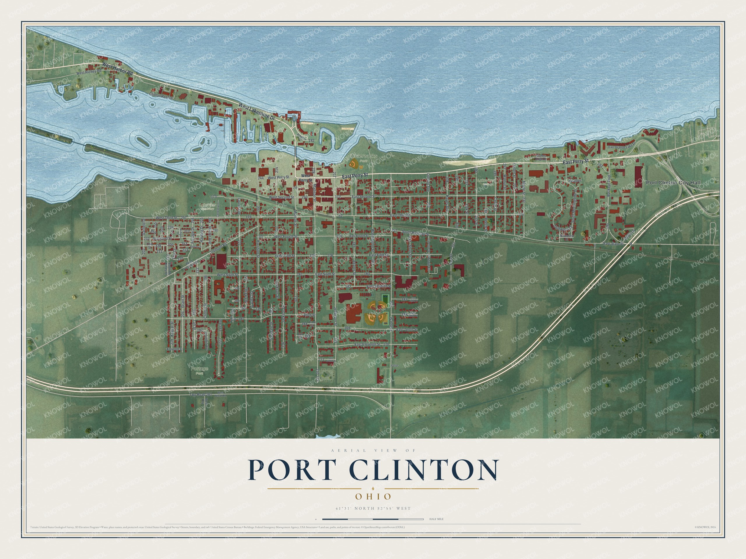
Created by KNOWOL in 2026, this print shows Port Clinton in soft greens and blues, with every building marked in deep red and the street names in small, clear type. The cream title panel at the bottom reads "Aerial View of Port Clinton, Ohio" with the coordinates 41°31' North 82°55' West.
It looks at home in a living room, a lake cottage, a den or an office. It's a good gift for someone who grew up near Waterworks Park, worked downtown on Madison Street, or moved away and wants a piece of home. Open the preview and find the streets you know. See sizes and frames for the Port Clinton map.