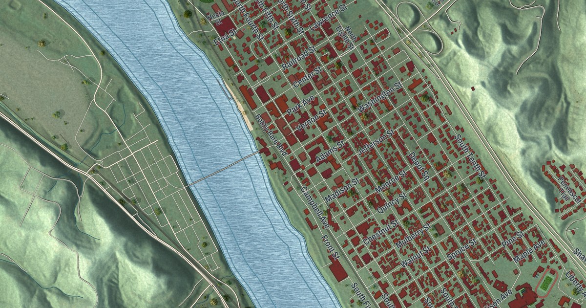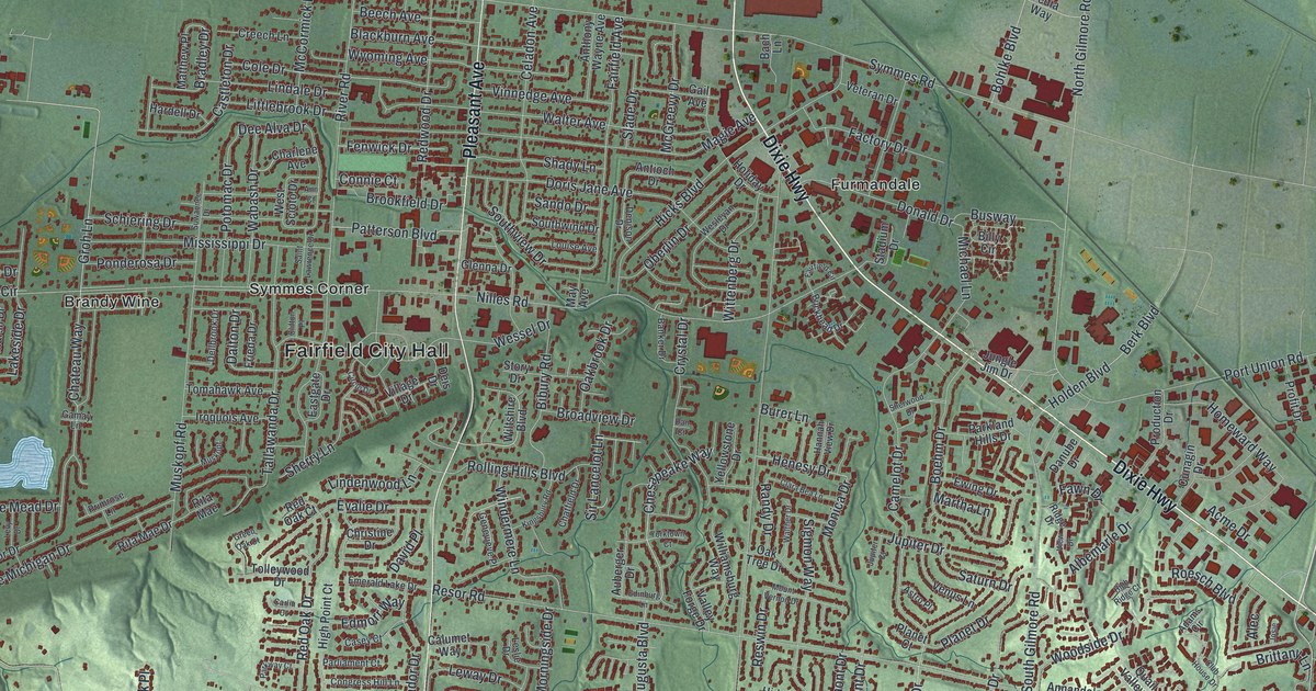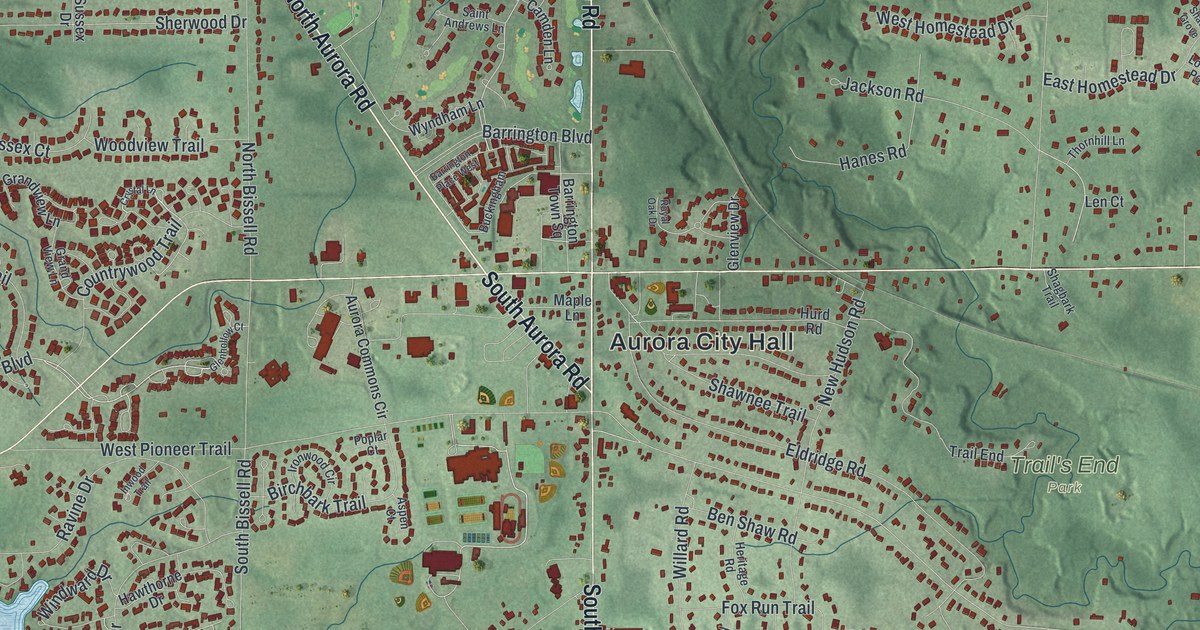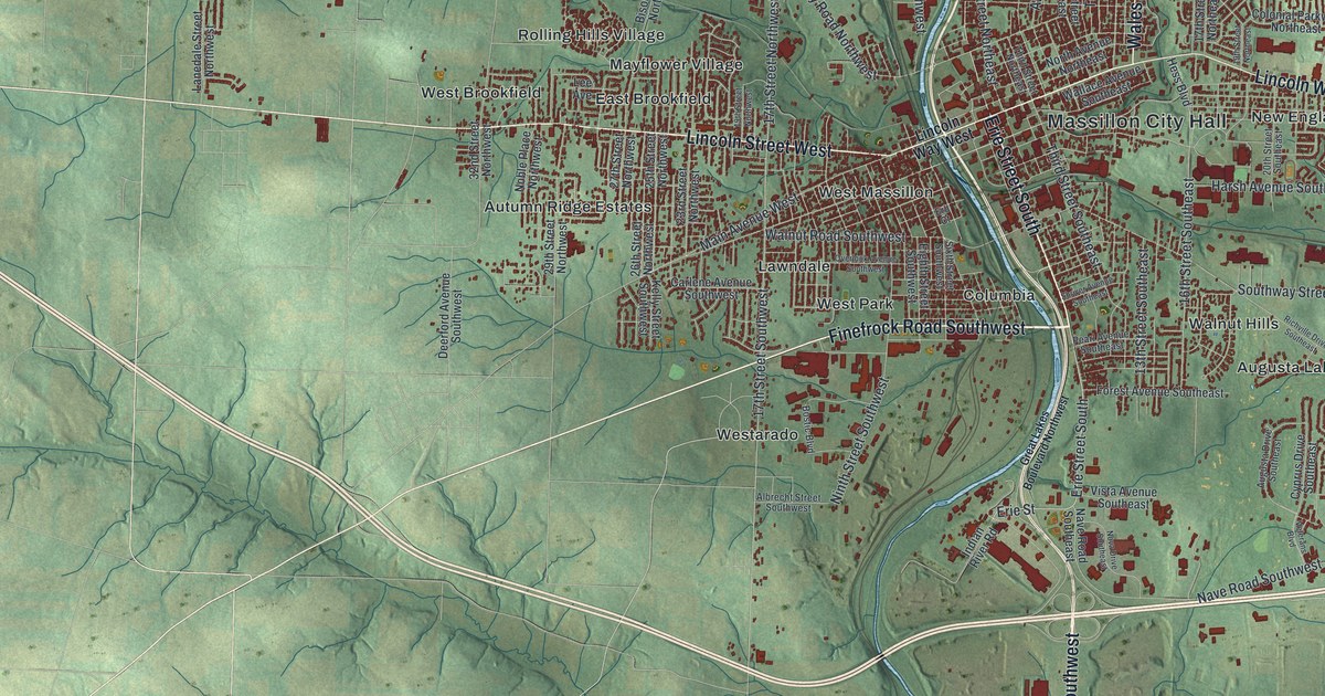
If you grew up in Massillon, went to Massillon High School, or still have family near Lincoln Way East, this map is full of places you know. It's a modern aerial view of Massillon in Stark County, Ohio, made from modern data with a vintage look. A blue river winds down through the middle of town. More than 34,000 buildings are marked in dark red on both banks. Neighborhoods like Sippo Heights, West Brookfield and Walnut Hills spread out from downtown. Green shaded hills and small streams fill the rest of the sheet.
Massillon City Hall, Lincoln Way East and Lincoln Street West
Start at Massillon City Hall, on the east bank of the river. Lincoln Way East runs east from there, past New England. Just north, Wales Road Northeast climbs up past Sippo Heights and Colonial Hills. Charity Rotch and Clearview sit near the top edge of town. Now go back to City Hall and cross the river to the west. Lincoln Street West heads west past West Massillon, with West Brookfield above it. Mayflower Village and Rolling Hills Village sit just above it.
Below Lincoln Street West, Finefrock Road Southwest runs past West Park and Columbia toward the river. On the east side, Walnut Hills and Augusta Lakes sit below Grey Ridge Estates. Erie Avenue Southwest runs down the lower part of the sheet toward Canton Road. Sippo sits far to the left. Spring Valley Estates is near the top center of the sheet. Many roads are labeled, and each red shape is a building, so zoom in on the preview and look for yours.
Robert Pinn and Massillon Cemetery on Erie Street
Erie Street South runs down from downtown toward the lower part of the print. Massillon Cemetery is at 1827 Erie Street South. Robert Pinn is buried there. In 1863 he was a 20-year-old farmer in Massillon. He joined the 5th United States Colored Troops at his first chance. He said he wanted "to prove by my feeble efforts the black man's rights to untrammeled manhood." In 1864 he fought at New Market Heights, near Richmond. All of his company's officers were killed or wounded. Pinn took command, and he was hit three times.
He got the Medal of Honor for it. The Ohio historical marker at the cemetery says he was one of four African American men from his regiment to get it. After the war he went to Oberlin College. He became a lawyer in Massillon. He died in 1911. Another Medal of Honor soldier rests in the same cemetery. Private William Richardson was the only survivor of an eight-man scouting group at Sailor's Creek in 1865. He's buried near the Civil War Soldiers Monument. The cemetery building was added to the National Register in 1982.
For someone who knows Erie Street and Sippo Heights
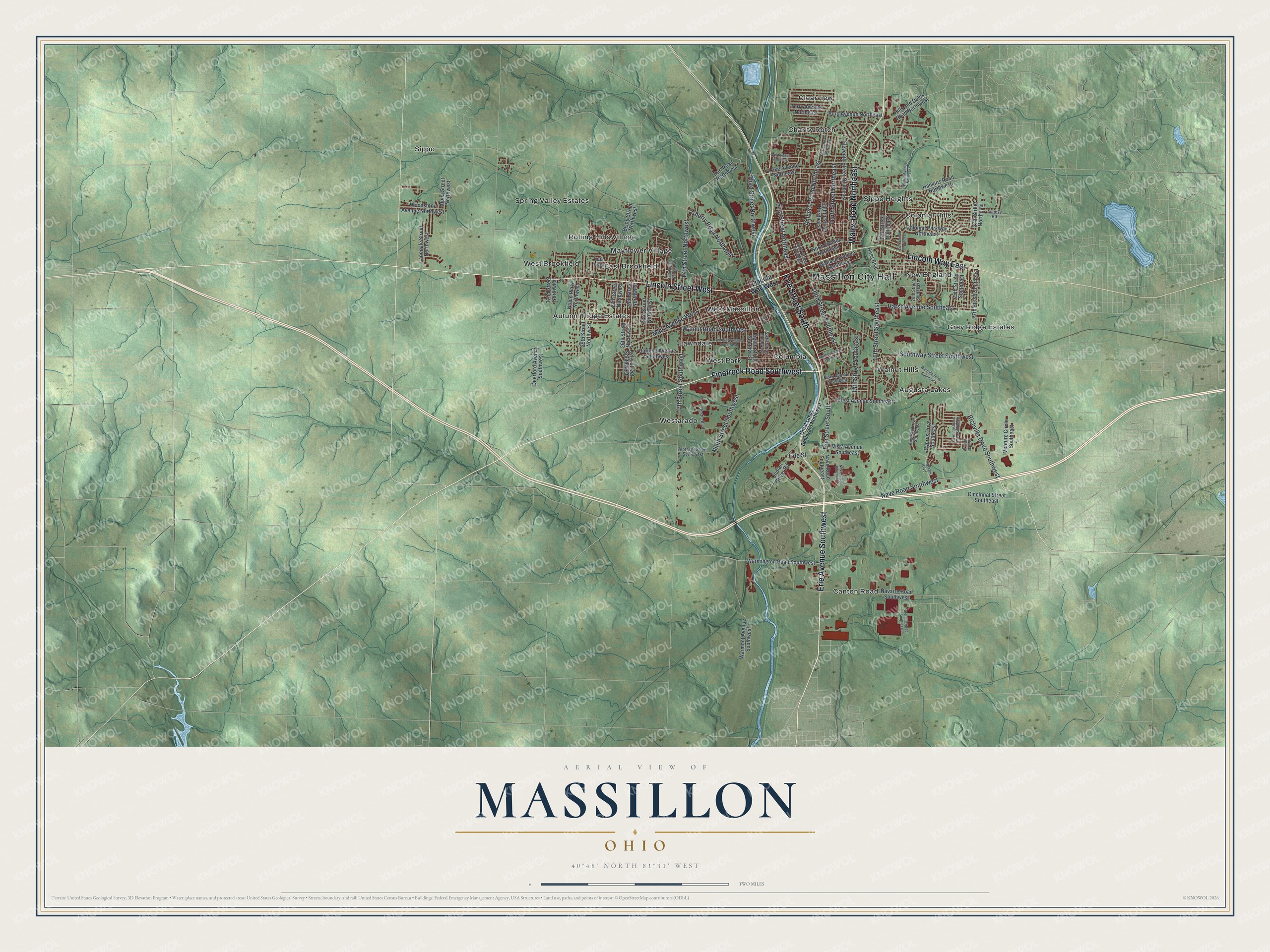
Created by KNOWOL in 2026, the Massillon print shows the city in deep red against soft green hills. Its hill shading uses USGS elevation data, and its streets come from Census Bureau records. The river, streams and lakes are pale blue. At the bottom, the title panel says "Aerial View of Massillon, Ohio" above the coordinates 40°48' North 81°31' West and a two-mile scale bar.
Hang it in a den, a home office or a kitchen. It's a good gift for someone who grew up near Massillon City Hall and moved away, or for family who still live off Wales Road. Open the preview, start at City Hall and find your street. See sizes and frames for the Massillon map.