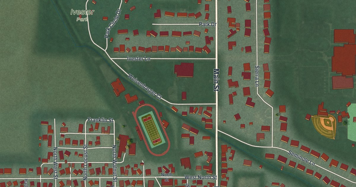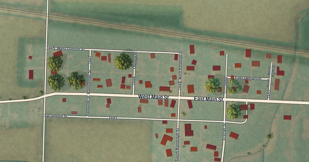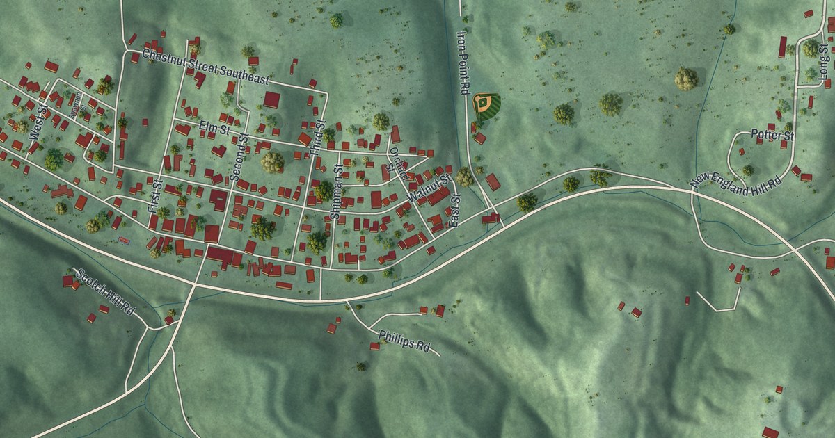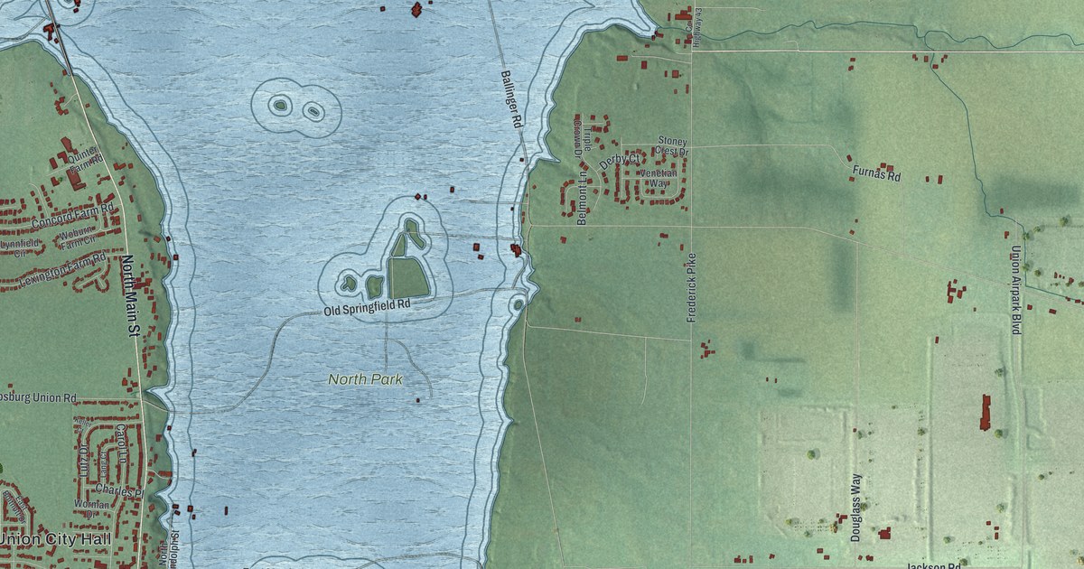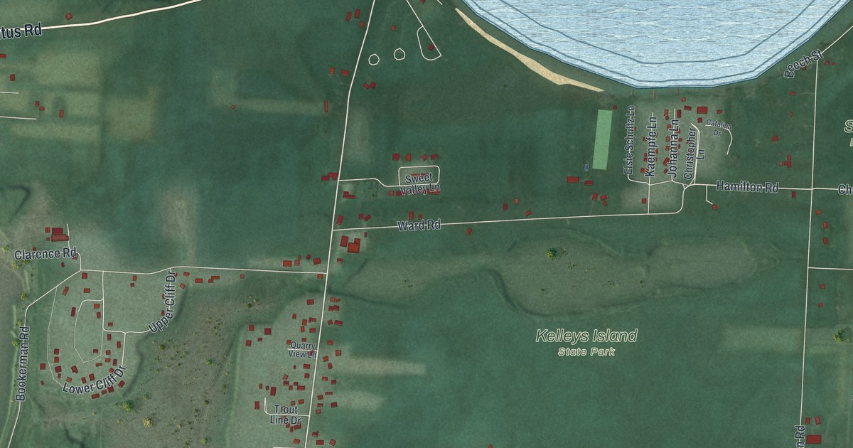
If you grew up on Kelleys Island, or your family has a place along West Lakeshore Drive, this map was made with you in mind. It's a modern aerial view of Kelleys Island in Erie County, Ohio, made from modern data and given a vintage feel. The whole island fills the sheet, with blue lake water all around it. The green woods of Kelleys Island State Park sit in the middle. Scheele, Quinn and Jones Preserves line the east side, and small red buildings crowd the south shore near Kelleys Island Town Hall.
Division Street, West Lakeshore Drive and the State Park
On this map you'll find Division Street, West Lakeshore Drive, East Lakeshore Drive, Kelleys Island Town Hall, Kelleys Island State Park, Titus Road, Ward Road, Woodford Road, Beach Road, Lower Cliff Drive, Hamilton Road, Ed Curilla Preserve, Scheele Preserve, Quinn Preserve, Jones Preserve, and more. Each red shape is a building, so zoom in on the preview and look for yours.
The Island House hotel on East Lakeshore Drive
In 1843, Datus and Sara Kelley built their home at the spot where Division Street now meets East Lakeshore Drive. It was known as the Island House. It stood up the hill from the steamboat landing, across the street from the island store. In 1873, Jacob Rush bought the land and built a hotel with 102 rooms. It was three stories tall and 224 feet wide. Guests had a bowling alley, a barber shop, bath houses and a dance pavilion looking out over the lake. A fire destroyed the hotel in November 1877. In 1925, the last owner sold the land to the village for a park, says the Remarkable Ohio marker that stands there today. Look for that corner on the south shore of the map.
The stone church on Division Street
The German Reformed Church was started on the island in 1865. A year later, its members built a church from island stone at 224 Division Street. They bought the half acre from Alfred S. and Hannah Kelley. By 1871, 25 families belonged, and they heard their services in German. The last service was a funeral in 1942. The Kelleys Island Historical Association leased the church in 1981 and was given the deed in 1986.
A Kelleys Island map to keep close
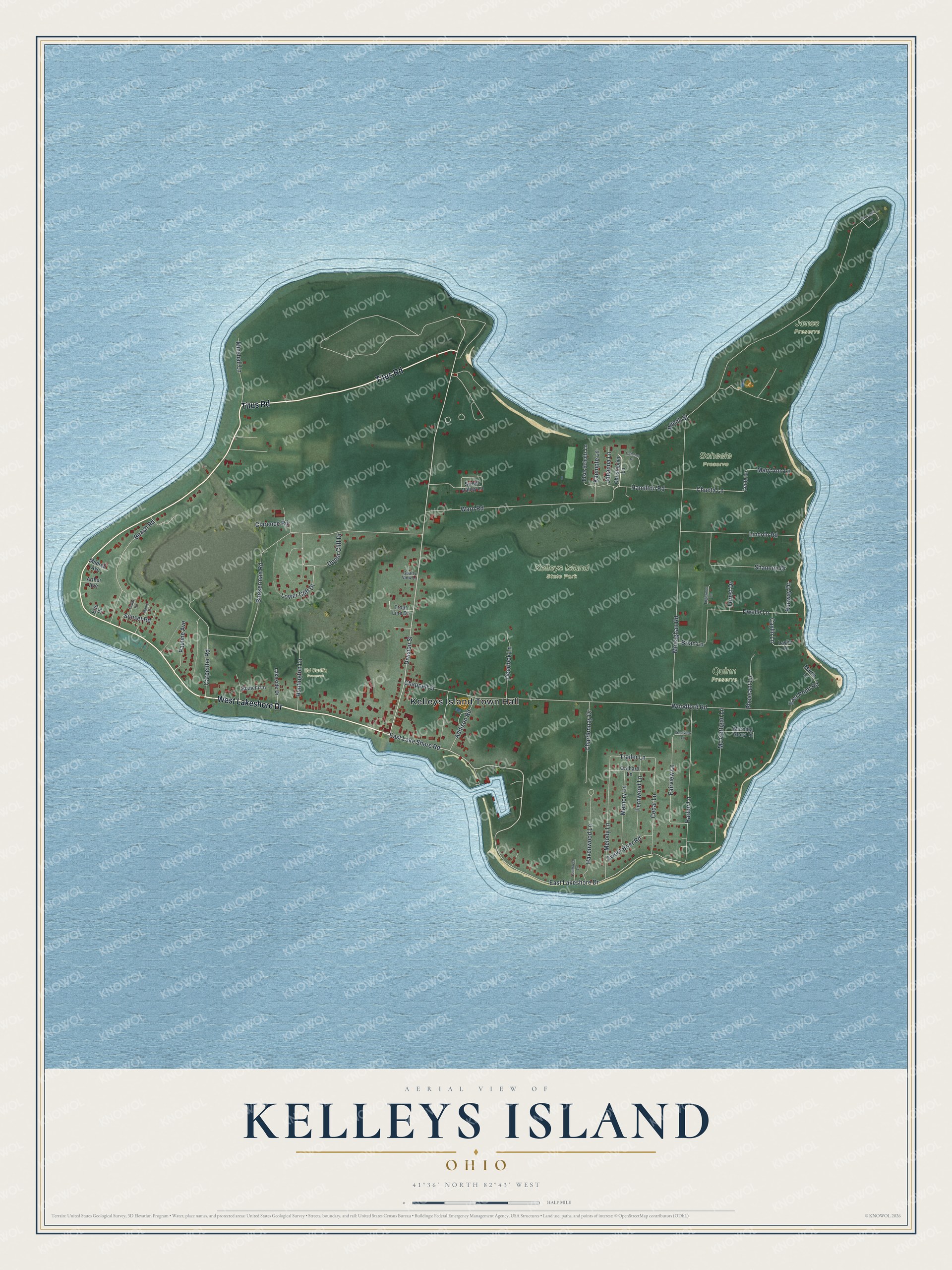
Created by KNOWOL in 2026, this print shows the whole island in soft greens with the lake in blue and each building in red. The title panel reads Aerial View of Kelleys Island, Ohio, with 41°36' North 82°43' West printed below.
It suits a lake cottage, a den or a front hall. It's a thoughtful gift for someone who grew up near Kelleys Island Town Hall, or for family who moved away from the island. Open the preview and find your road. See sizes and frames for the Kelleys Island map.