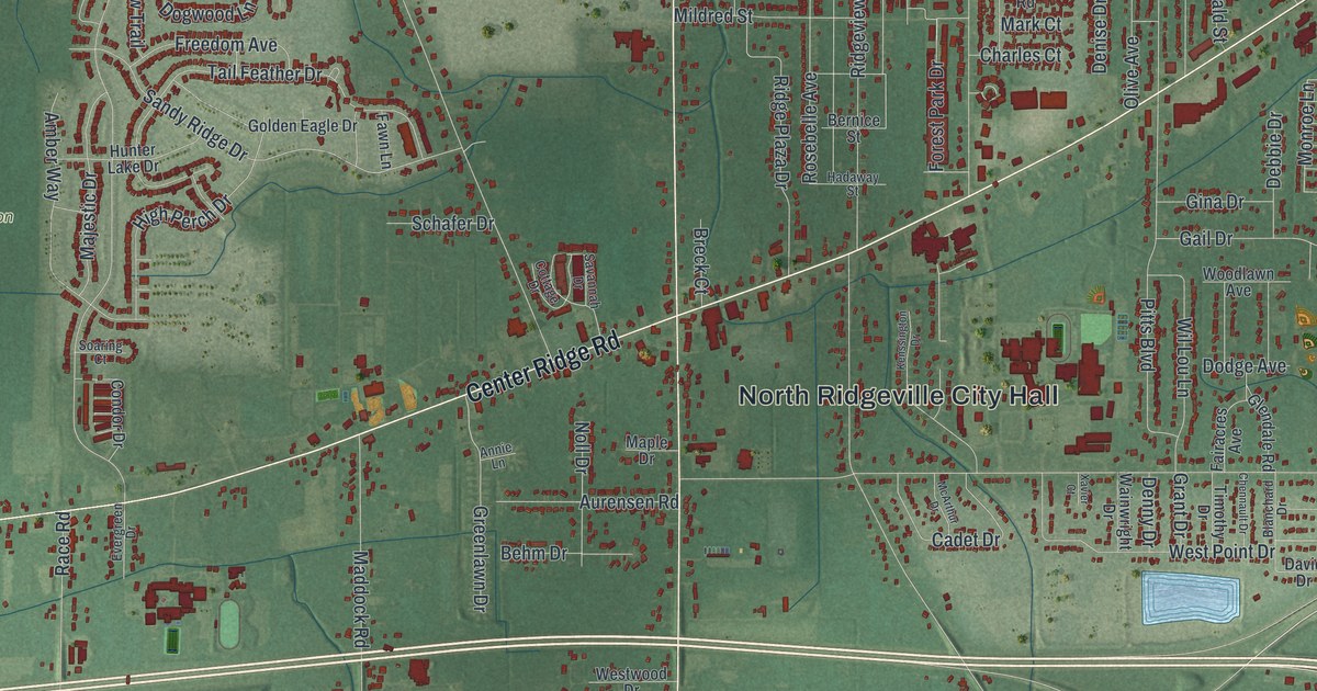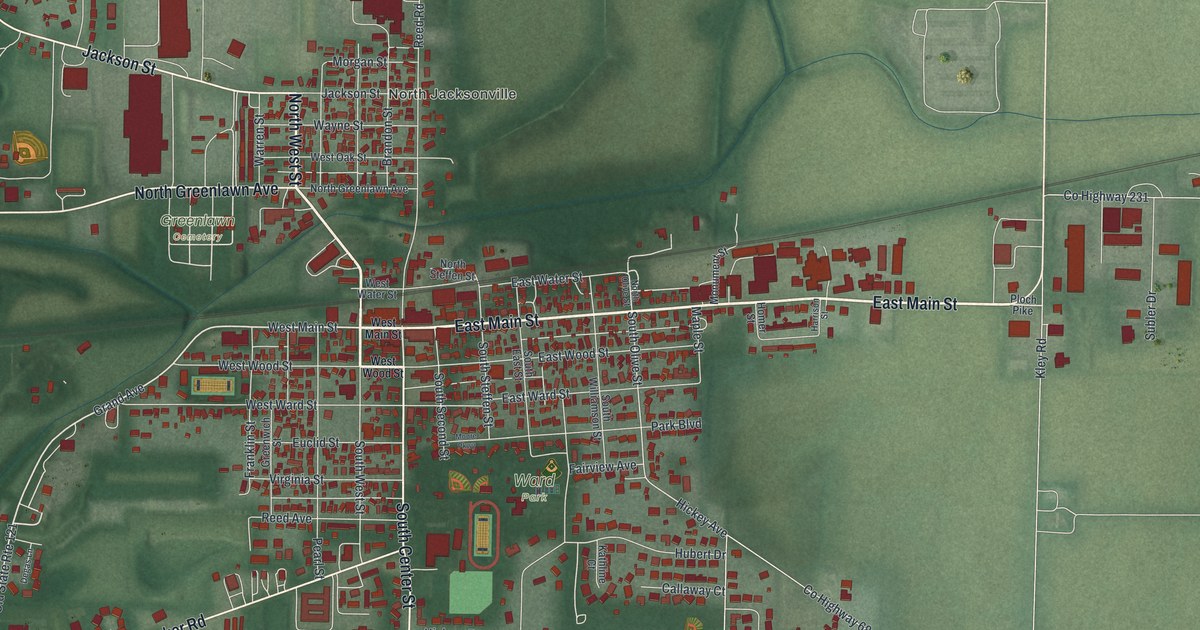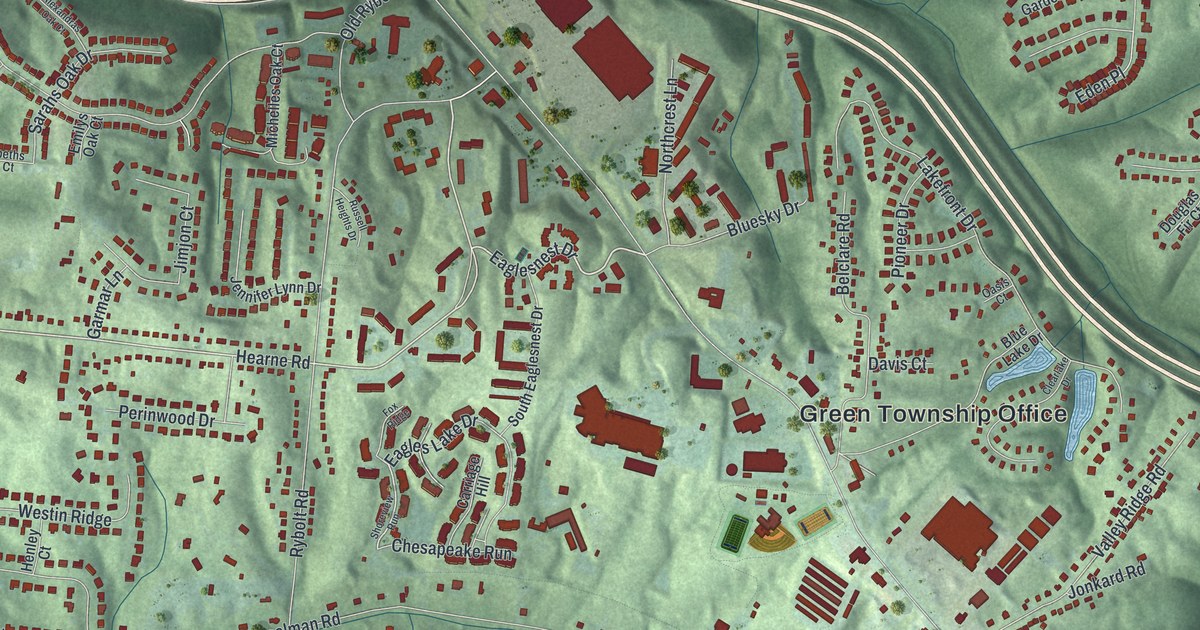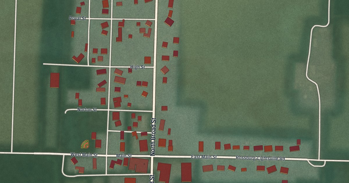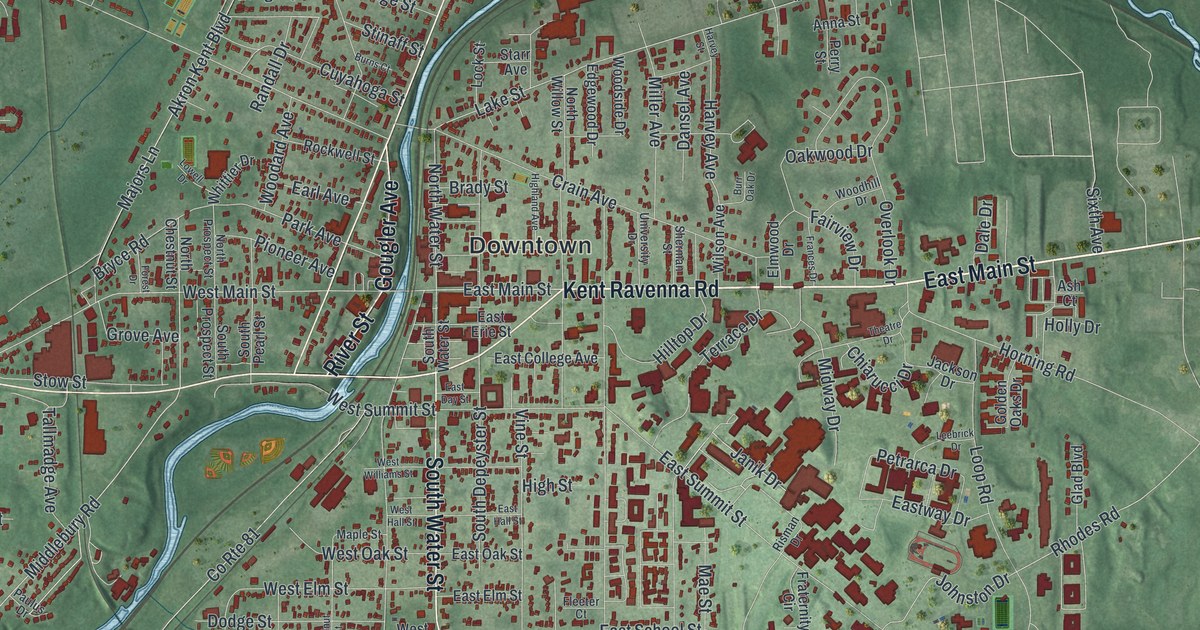
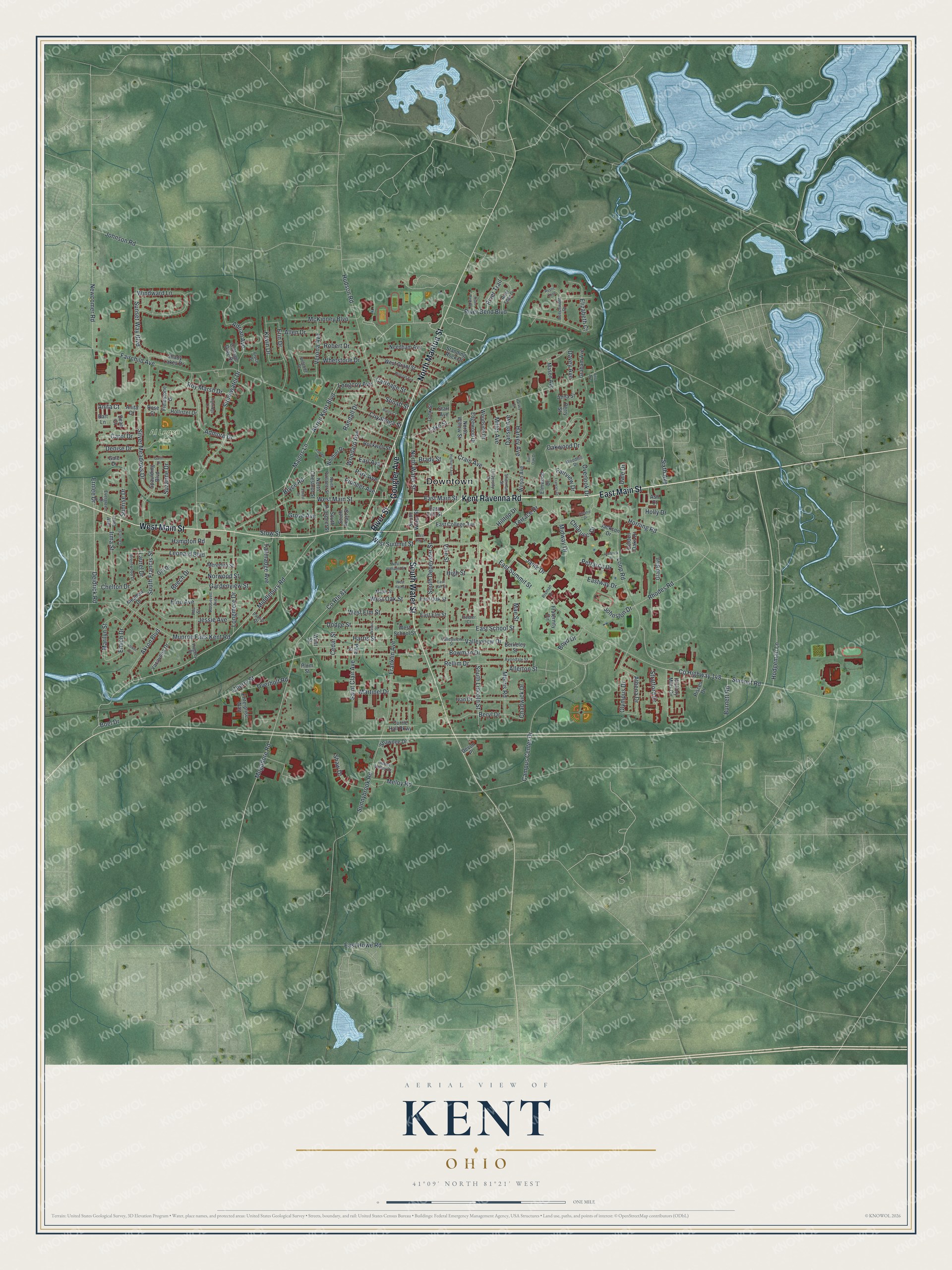
This beautifully detailed map of Kent, Ohio was created in 2026 using aerial imagery combined with modern topographical, census, street and landmark data. It’s a one-of-a-kind view of Kent that combines accurate data with a vintage aesthetic. The map shows every building in its true location, many of the roads carry their names, and the shaded topographic relief shows the shape of the land.
Explore an aerial view of Kent, Ohio
On the map you’ll find Downtown and Al Lease Park, along with East Main Street, Kent Ravenna Road, River Street, North Mantua Street, South Water Street, West Main Street, Gougler Avenue, Middlebury Road, North Water Street, Bryce Road, and more. If you look closely you can even find your house accurately drawn in its correct location. Zoom in on the preview to look for yours.
Did you know this piece of Kent, Ohio history?
Kent was called Franklin Mills for many years. Local businessman Marvin Kent brought the Atlantic and Great Western Railroad to the village in 1863. He also won the railroad’s repair shops for the town. In 1864 grateful residents renamed the village Kent in his honor.
Take a closer look at the Kent map
Street and place names on the Kent, Ohio map
These names are printed on the map of Kent, Ohio.
Places: Downtown and Al Lease Park.
Streets and roads: East Main Street, Kent Ravenna Road, River Street, North Mantua Street, South Water Street, West Main Street, Gougler Avenue, Middlebury Road, North Water Street, Bryce Road, Harvey Avenue, Anita Court.
More street names, A to Z
Ada Street, Admore Drive, Adrian Avenue, Akron Boulevard, Akron Kent Boulevard, Allen Drive, Allerton Street, Anita Drive, Anna Street, Ash Court, Athena Drive, Avondale Street, Bart Lane, Beech Drive, Beechwold Drive, Berkeley Street, Beryl Drive, Boel Drive, Bowman Drive, Boyd Drive, Brady Street, Brentwood Drive, Bruce Drive, Burnett Road, Burns Court, Burr Oak Drive, Campus Center Drive, Carol Drive, Carthage Street, Cedar Street, Chadwick Drive, Chelton Drive, Cherry Street, Chiarucci Drive, Cottage Gate Drive, County Highway 148, County Route 81, Crain Avenue, Currie Hall Parkway, Cuyahoga Street, Dale Drive, Dansel Avenue, Davey Avenue, Dean Court, Deidrick Road, Deleone Drive, Denise Drive, Devon Place, Dodge Street, Earl Avenue, East College Avenue, East Day Street, East Elm Street, East Erie Street, East Hall Street, East Howe Road, East Oak Street, East School Street, East Summit Street, Eastway Drive, Edgewood Drive, Elizabeth Court, Elmwood Drive, Elno Avenue, Emich Drive, Enterprise Way, Erin Drive, Ernlee Drive, Evergreen Drive, Fairchild Avenue, Fairview Drive, Fieldstone Drive, First Avenue, Fleeter Court, Forest Drive, Frances Drive, Franklin Avenue, Fraternity Circle, Gale Drive, Gardenview Street, Garrett Street, Garth Drive, Gill Drive, Glad Boulevard, Golden Oaks Drive, Graham Avenue, Grove Avenue, Hampton Road, Harris Street, Harvey Street, Hickory Mills Circle, Highland Avenue, Highridge Lane, High Street, Hilltop Drive, Hodgeman Lane, Hollister Drive, Holly Drive, Horning Road, Hudson Road, Hughey Drive, Indian Valley Drive, Irma Avenue, Irma Street, Ivan Drive, Jackson Drive, Janik Drive, Jessie Avenue, Johnson Road, Johnston Drive, Kevin Drive, Lake Street, Laurel Drive, Leebrick Drive, Leonard Boulevard, Lock Street, Longcoy Avenue, Longmere Drive, Loop Road, Lowell Drive, Lower Drive, Mae Street, Majors Lane, Maple Street, Marilyn Street, Martinel Drive, Mason Avenue, McKinney Boulevard, Meadow Drive, Meloy Road, Meredith Street, Midway Drive, Miller Avenue, Mogadore Road, Morris Road, Munroe Falls Kent Road, Needham Avenue, Newcomer Road, North Chestnut Street, North Prospect Street, North Willow Street, Norwood Street, Oakwood Drive, Olympus Drive, Overholt Road, Overlook Drive, Park Avenue, Paulus Drive, Perry Street, Petrarca Drive, Pine Street, Pioneer Avenue, Pisces Drive, Plum Street, Randall Drive, Rellim Drive, Rhodes Road, Risman Drive, River Bend Boulevard, River Edge Drive, River Park Drive, River Trail, Robert Drive, Rockwell Street, Roosevelt Avenue, Rose Court, Roy Marsh Drive, Rustic Knoll, Saint Clair Avenue, Shady Lakes Drive, Shaw Drive, Shawnee Drive, Sherman Street, Silver Meadows Drive, Sixth Avenue, South Depeyster Street, South Francis Street, South Lincoln Street, South Pearl Street, South Prospect Street, Spaulding Boulevard, Standing Rock Drive, Starr Avenue, Stinaff Street, Stonewater Drive, Stow Street, Stratford Drive, Summit Road, Sunnybrook Road, Sunrise Drive, Sunset Way Boulevard, Suzanne Drive, Tallmadge Avenue, Terrace Drive, Theatre Drive, University Drive, Valleyview Drive, Valleyview Street, Verona Avenue, Vine Street, Walnut Street, West Elm Street, West Grant Street, West Hall Street, West Oak Street, West School Street, West Street, West Summit Street, West Williams Street, Whetstone Drive, Whittier Drive, Wilson Avenue, Windward Lane, Wolcott Avenue, Woodard Avenue, Woodhill Drive, Woodside Drive, Yacavona Drive.
See the Kent, Ohio map on a wall
The Kent map as an 18 x 24 inch print in a black frame.

This beautifully detailed map of Kent makes an attractive addition to your office, library, or den, and it can even be used to teach children the geography and history of the area. It also makes a great gift for someone who left Kent and still calls it home. When you’re done exploring, click here to get your copy of the Kent map.