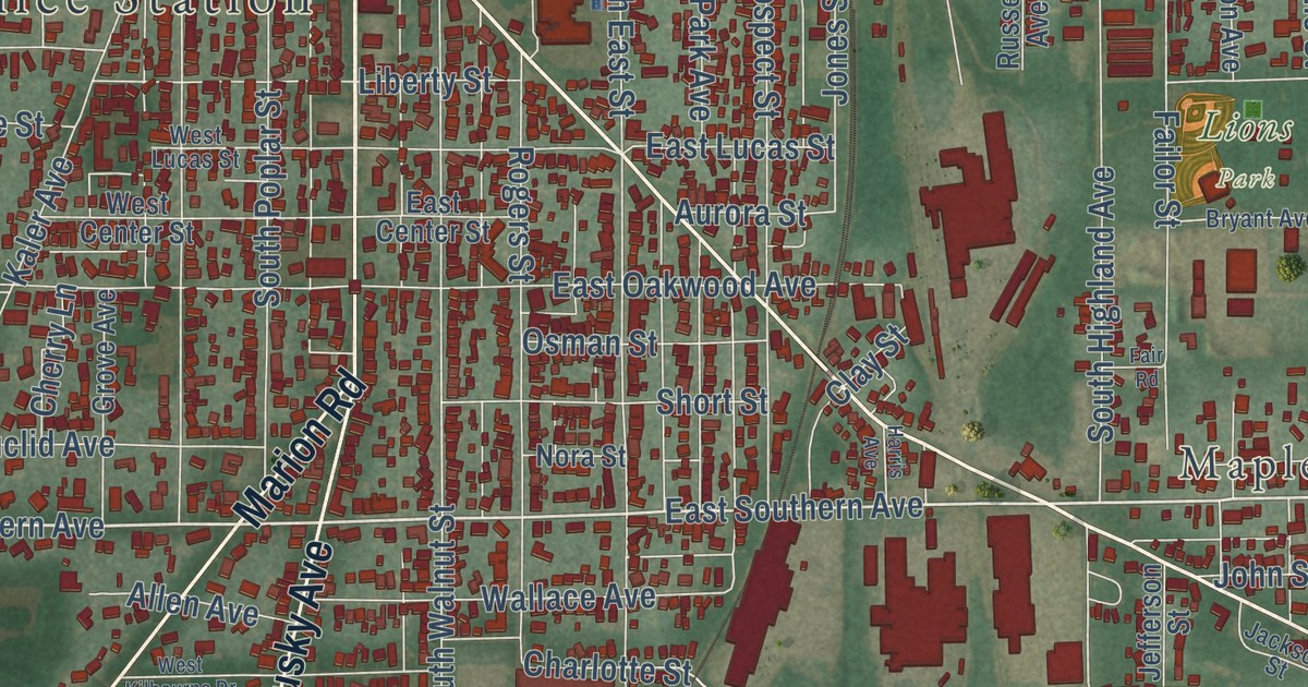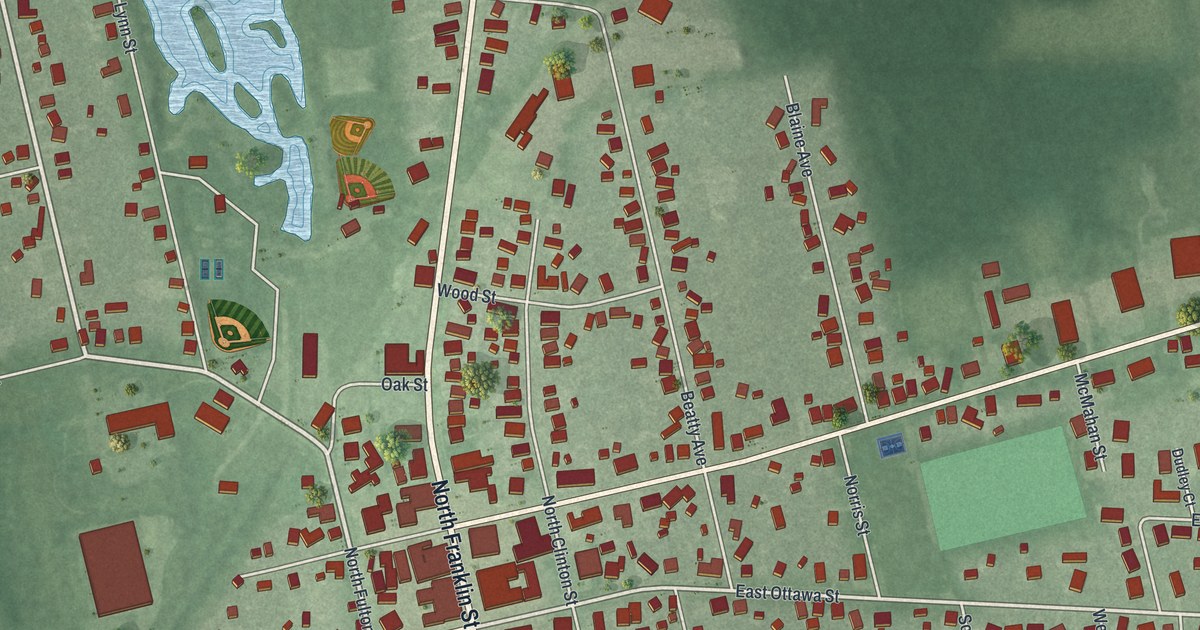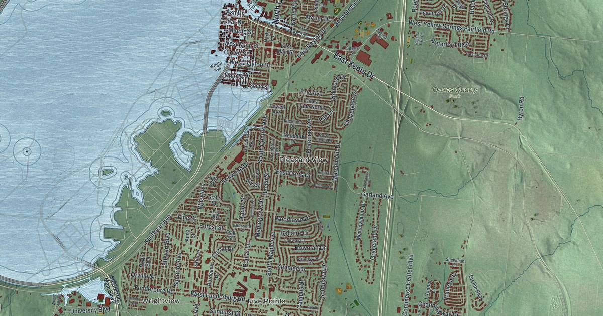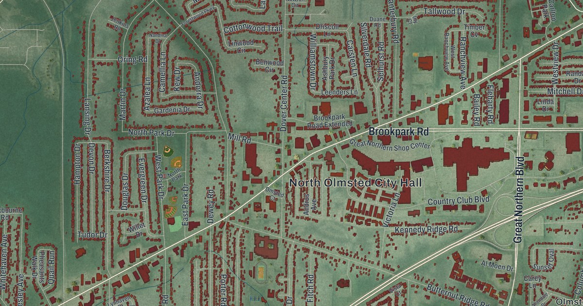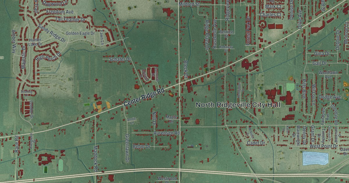
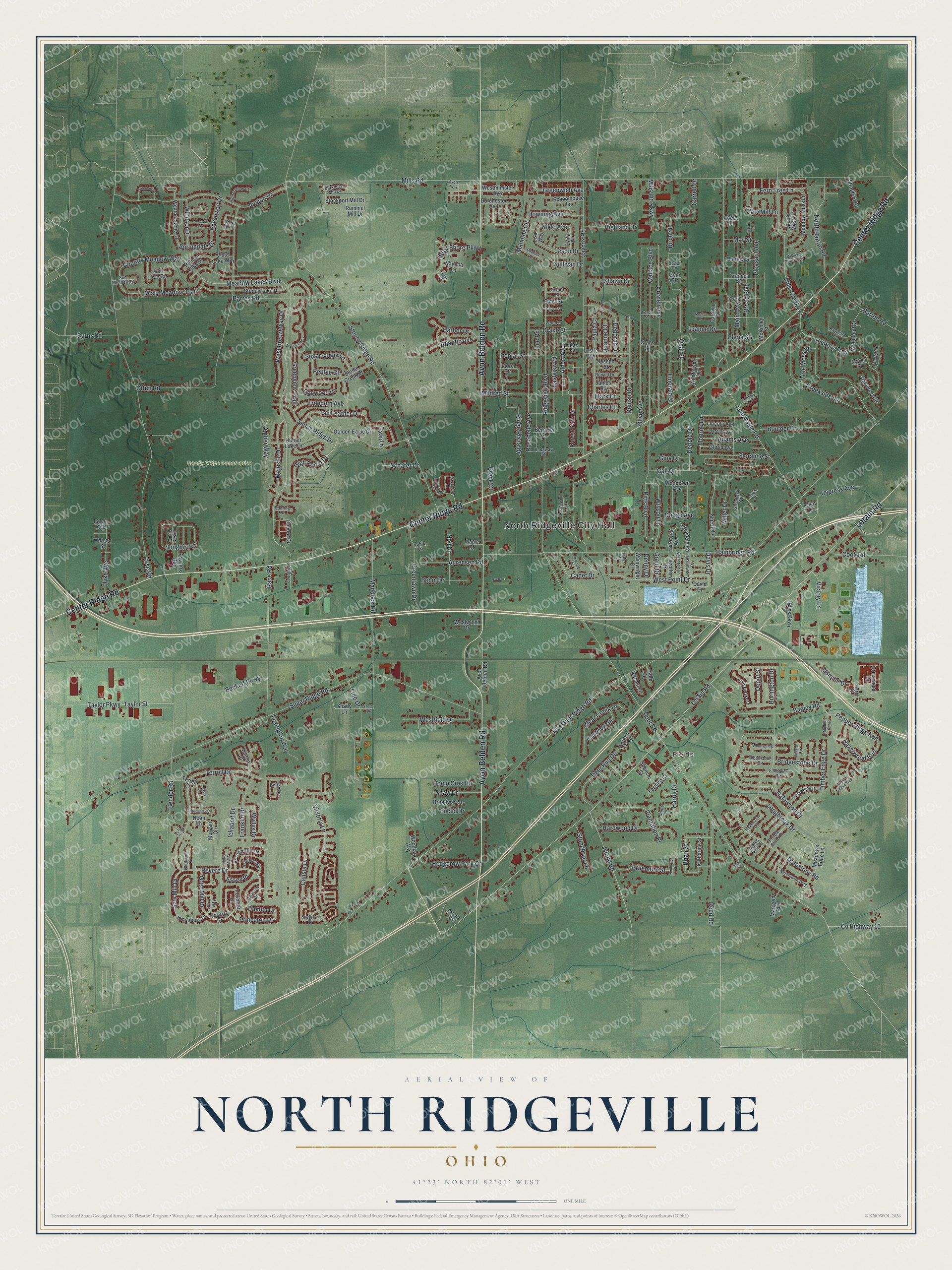
This beautifully detailed map of North Ridgeville, Ohio was created in 2026 using aerial imagery combined with modern topographical, census, street and landmark data. It’s a one-of-a-kind view of North Ridgeville that combines accurate data with a vintage aesthetic. The map shows every building in its true location, many of the roads carry their names, and the shaded topographic relief shows the shape of the land.
Explore an aerial view of North Ridgeville, Ohio
On the map you’ll find North Ridgeville City Hall, Fields, and Sandy Ridge Reservation, along with Lorain Road, Center Ridge Road, Avon Belden Road, Saw Mill Drive, Fern Tree Lane, Revere Drive, Princeton Drive, Dakota Drive, Nikki Avenue, and more. If you look closely you can even find your house accurately drawn in its correct location. Zoom in on the preview to look for yours.
Did you know this piece of North Ridgeville, Ohio history?
From Arcadia Publishing: "Ridgeville Township was organized in 1813, centered at State Routes 20 and 83, and by the mid-1800s welcomed many people of German and English descent. In 1829, due to frequent mail mix-ups with Ridgeville, a town near Dayton, the postmaster general requested that the post office be named North Ridgeville."
Take a closer look at the North Ridgeville map
Street and place names on the North Ridgeville, Ohio map
These names are printed on the map of North Ridgeville, Ohio.
Places: North Ridgeville City Hall, Fields and Sandy Ridge Reservation.
Streets and roads: Lorain Road, Center Ridge Road, Avon Belden Road, Saw Mill Drive, Fern Tree Lane, Revere Drive, Princeton Drive, Dakota Drive, Nikki Avenue, Chestnut Ridge Road, Ichabod Drive, Monroe Lane.
More street names, A to Z
Adams Avenue, Adele Street, Albert Avenue, Amber Way, Annie Lane, Antlers Trail, Ashfield Way, Ashton Place, Aspen Street, Atlantic Avenue, Aurensen Road, Avalon Drive, Avery Way, Bagley Road, Bainbridge Road, Barkhurst Mill Drive, Barres Road, Barton Road, Bayberry Circle, Beckett Parkway, Behm Drive, Belton Drive, Bender Road, Bernice Street, Birch Street, Blanchard Drive, Bliss Parkway, Boulder Drive, Braemore Street, Branch Street, Breck Court, Brian Street, Briarwood Drive, Bridgestone Drive, Broad Boulevard, Broadway Street, Burlington Drive, Burns Road, Burnt Timber Trail, Cadet Drive, Calista Drive, Cambridge Drive, Carolyn Drive, Case Road, Charles Court, Chatham Circle, Chaucer Court, Chennault Drive, Chesapeake Drive, Clear Creek Drive, Cobblestone Circle, Condor Drive, Cook Road, Cornell Avenue, Cottage Drive, Country Meadow Way, County Highway 10, Creekside Lane, Crestwood Drive, Cross Street, Cypress Avenue, Dana Place, David Drive, Davis Drive, Debbie Drive, Deborah Drive, Deer Run Drive, Denise Drive, Denny Drive, Depot Street, Diane Drive, Dodge Avenue, Dogwood Lane, Dorchester Avenue, Downing Avenue, Drake Street, Drury Way, Dyke Avenue, Eagles Glen Court, Eastview Street, Edwin Avenue, Elder Street, Elyria Street, Emerald Street, Essex Place, Euclid Drive, Evergreen Drive, Fairacres Avenue, Fallhaven Circle, Fawn Lane, Fieldstone Circle, Floraline Street, Forest Park Drive, Fortune Court, Fowlers Run, Foxboro Drive, Frances Street, Franklin Drive, Freedom Avenue, Gail Drive, Garrett Drive, Gatestone Road, Gatewood Drive, Gem Circle, Gina Drive, Ginger Drive, Glendale Road, Glen Drive, Gloria Avenue, Golden Eagle Drive, Grant Drive, Greenlawn Drive, Greenview Trail, Greenwich Avenue, Grist Mill Drive, Hadaway Street, Halle Circle, Harbor Drive, Harding Avenue, Hardwood Drive, Harris Drive, Harvard Drive, Hazelwood Run, Hedgerow Park Drive, Hersey Circle, Hickory Trail, Hiddenview Court, Highland Drive, High Perch Drive, Home Crest Drive, Humphrey Circle, Hunter Lake Drive, Island Road, James Road, Jasmine Drive, Jason Drive, Jaycox Road, Jewel Circle, Joanne Court, Jordan Court, Joseph Court, Katherine Street, Kenmore Street, Kenssington Drive, Kingsbury Drive, Kingston Drive, Laurel Circle, Leafy Mill Lane, Lear Nagle Road, Lee Road, Leslie Avenue, Lexington Way, Liberty Parkway, Lincoln Avenue, Line Drive, Lisa Way, Longbrook Drive, Luanne Drive, Lydia Circle, Maddock Road, Main Avenue, Majestic Drive, Mallard Circle, Manning Circle, Maple Drive, Marigold Boulevard, Mark Court, Marsh Place, May Street, McArthur Drive, McKinley Street, Meadow Creek Oval, Meadow Lakes Boulevard, Meadow Moss Lane, Meadows Edge Lane, Mildred Street, Miller Drive, Mills Creek Lane, Mills Ind Parkway, Mills Road, Misty Meadow Trail, Monica Drive, Morgan Circle, Mulberry Chase, Navona Lane, Nesthaven Way, Nicoll Drive, Noah Lane, Noll Drive, North Barton Road, Oak Street, Oakwood Circle, Olive Avenue, Opal Street, Orchard Lane, Otten Road, Overlook Way, Oxford Court, Patricia Avenue, Paula Court, Pebble Brook Drive, Pebble Court, Pelican Lake Drive, Pepper Ridge Run, Pitts Boulevard, Plantation Place, Pleasant Avenue, Poplar Street, Prairie Moon, Quails Nest Lane, Race Road, Rachel Lane, Rain Tree Circle, Ravenway Drive, Reed Road, Ridge Plaza Drive, Ridgeview Boulevard, Rocky Run Court, Ronald Drive, Root Road, Rosebelle Avenue, Rose Street, Rummel Mill Drive, Sandy Ridge Drive, Savannah Drive, Saybrook Drive, Schafer Drive, Schoolhouse Lane, Shady Drive, Shady Lane, Shady Moss Lane, Shaw Drive, Shawn Drive, Sicily Court, Soaring Court, Somerset Court, Songbird Lane, Spencer Court, Springdale Drive, Steinbeck Court, Stockport Mill Drive, Stonebriar Lane, Stone Creek Drive, Stoney Lake Drive, Stoney Ridge Road, Stradford Court, Sugar Creek Lane, Sugar Ridge Road, Sullivan Drive, Sun Meadow Court, Tail Feather Drive, Taylor Parkway, Taylor Street, Terrell Court, Terrell Drive, Theresa Street, Timber Edge Drive, Timothy Drive, Tree Moss Lane, Trevi Court, Unionville Drive, Vernon Hill Drive, Victoria Lane, Victory Lane, Vista Lake Way, Wainwright Drive, Wallace Boulevard, Watson Street, Weatherstone Drive, West Breezeway Drive, Westfield Drive, Westminister Avenue, West Point Drive, West Shore Parkway, Westwood Drive, Wildflower Lane, Wil Lou Lane, Windsor Drive, Woodland Drive, Woodland Way, Woodlawn Avenue, Woodspring Circle, Woodstone Circle, Wood Street, Wyllys Drive, Xavier Court.
See the North Ridgeville, Ohio map on a wall
The North Ridgeville map as an 18 x 24 inch print in a black frame.

This beautifully detailed map of North Ridgeville makes an attractive addition to your office, library, or den, and it can even be used to teach children the geography and history of the area. It also makes a great gift for anyone with North Ridgeville roots. When you’re done exploring, click here to get your copy of the North Ridgeville map.