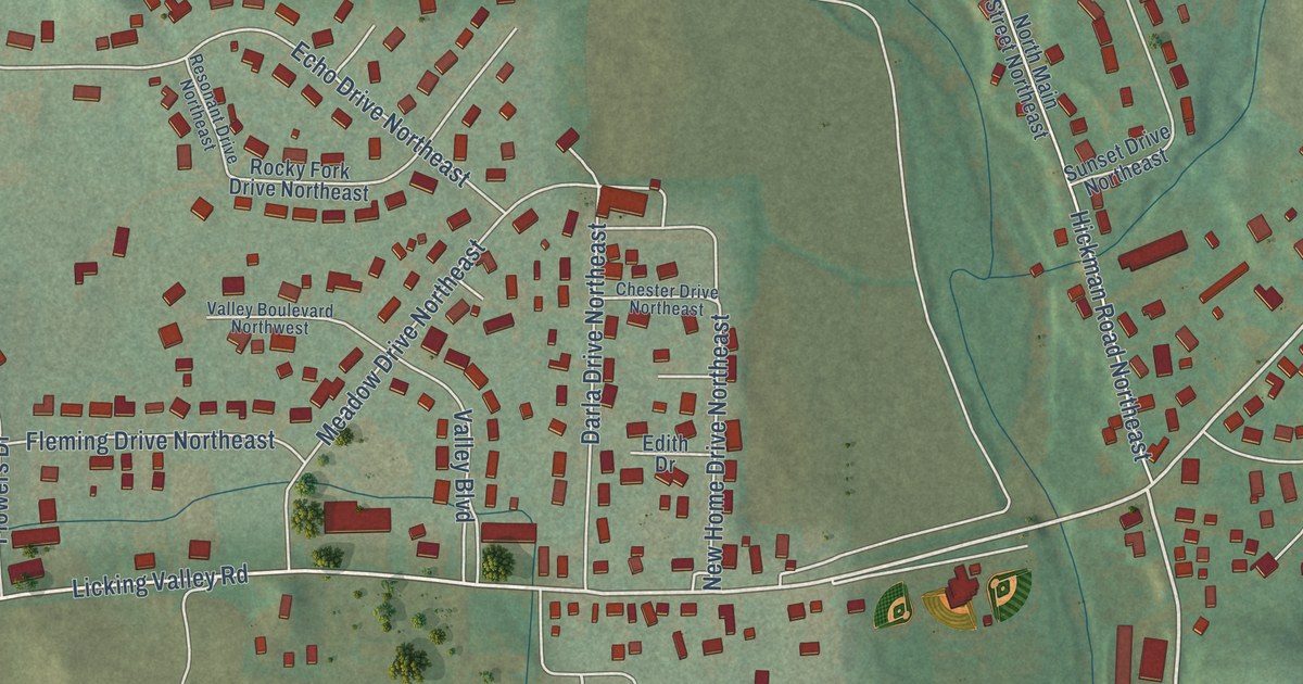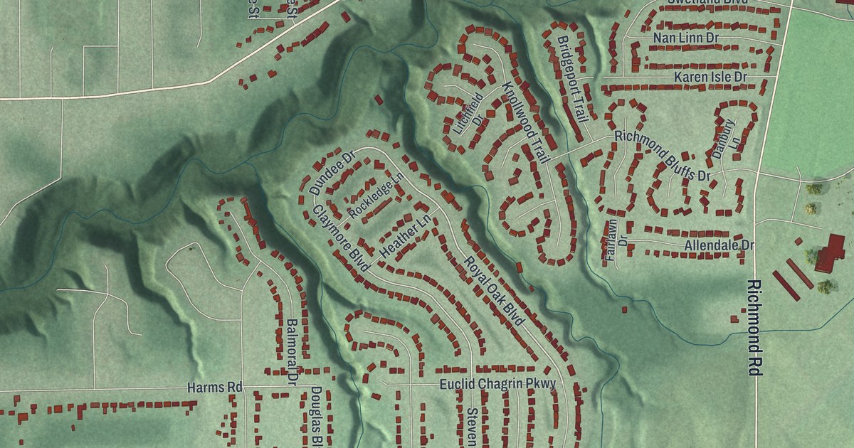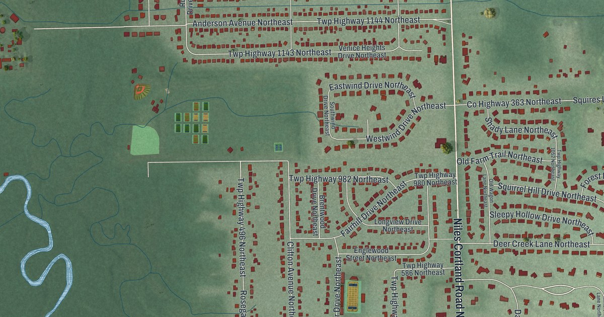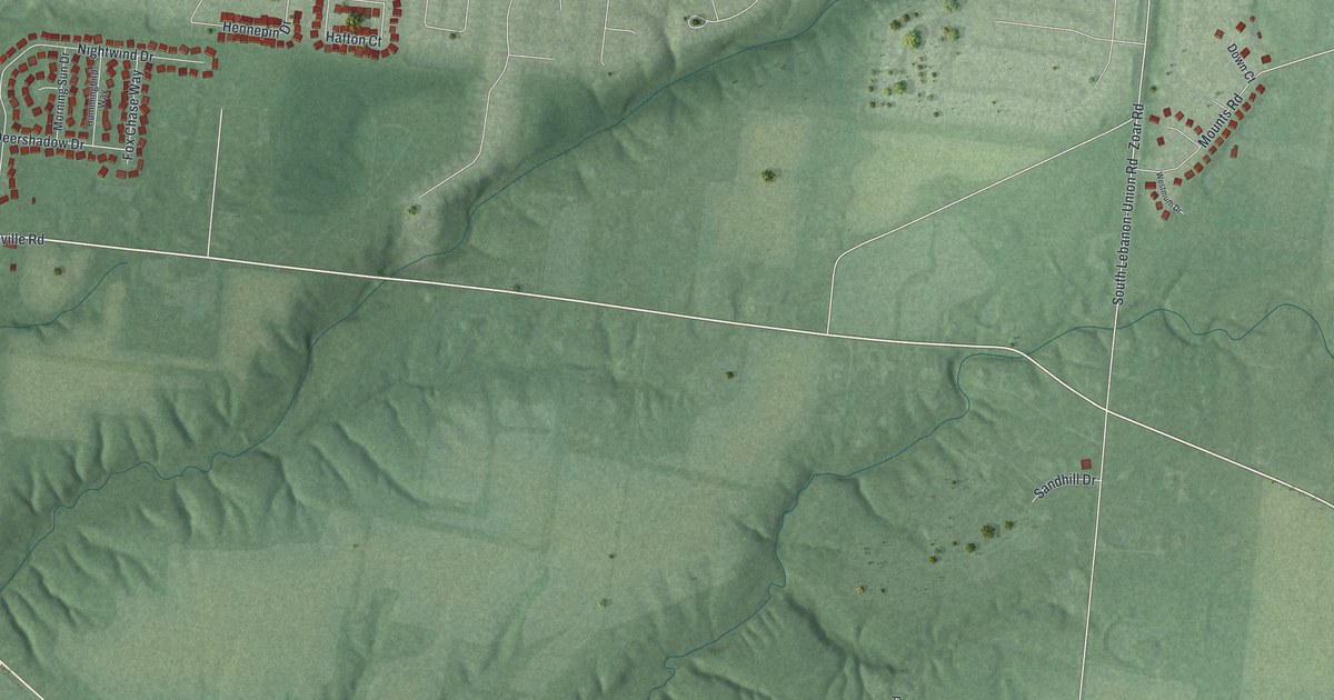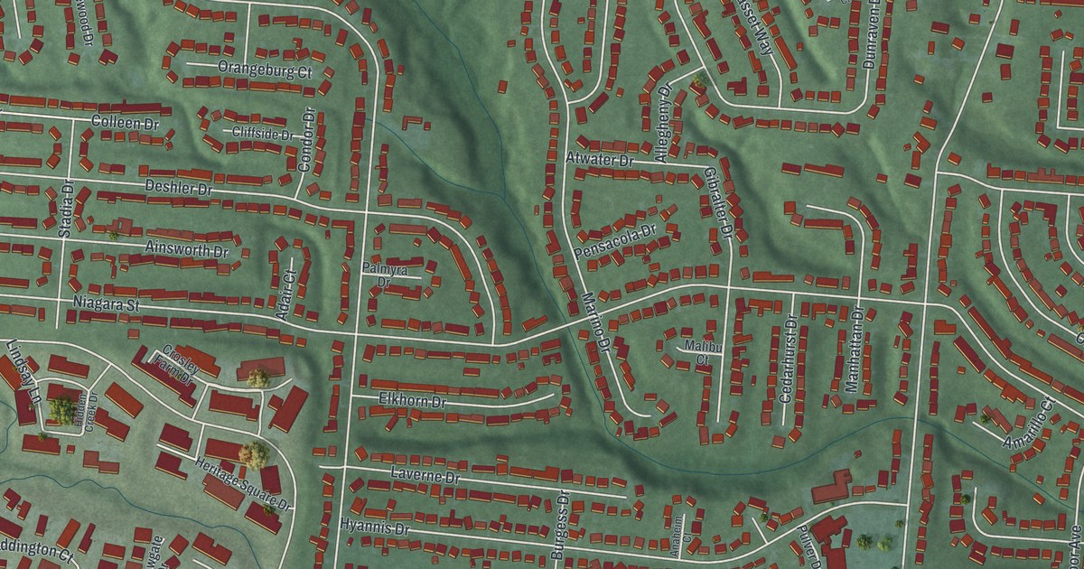
This beautifully detailed map of Northbrook, Ohio was created in 2026 using aerial imagery combined with modern topographical, census, street and landmark data. It’s a one-of-a-kind view of Northbrook that combines accurate data with a vintage aesthetic. The map shows every building in its true location, many of the roads carry their names, and the shaded topographic relief shows the shape of the land.
Explore an aerial view of Northbrook, Ohio
On the map you’ll find Galaxy Acres, Northgate, and Wardwood Acres, along with Colerain Avenue, Pippin Road, Arborwood Drive, Sacramento Street, Springdale Road, Niagara Street, Compton Road, Commons Circle, Loralinda Drive, and more. If you look closely you can even find your house accurately drawn in its correct location. Zoom in on the preview to look for yours.
Take a closer look at the Northbrook map
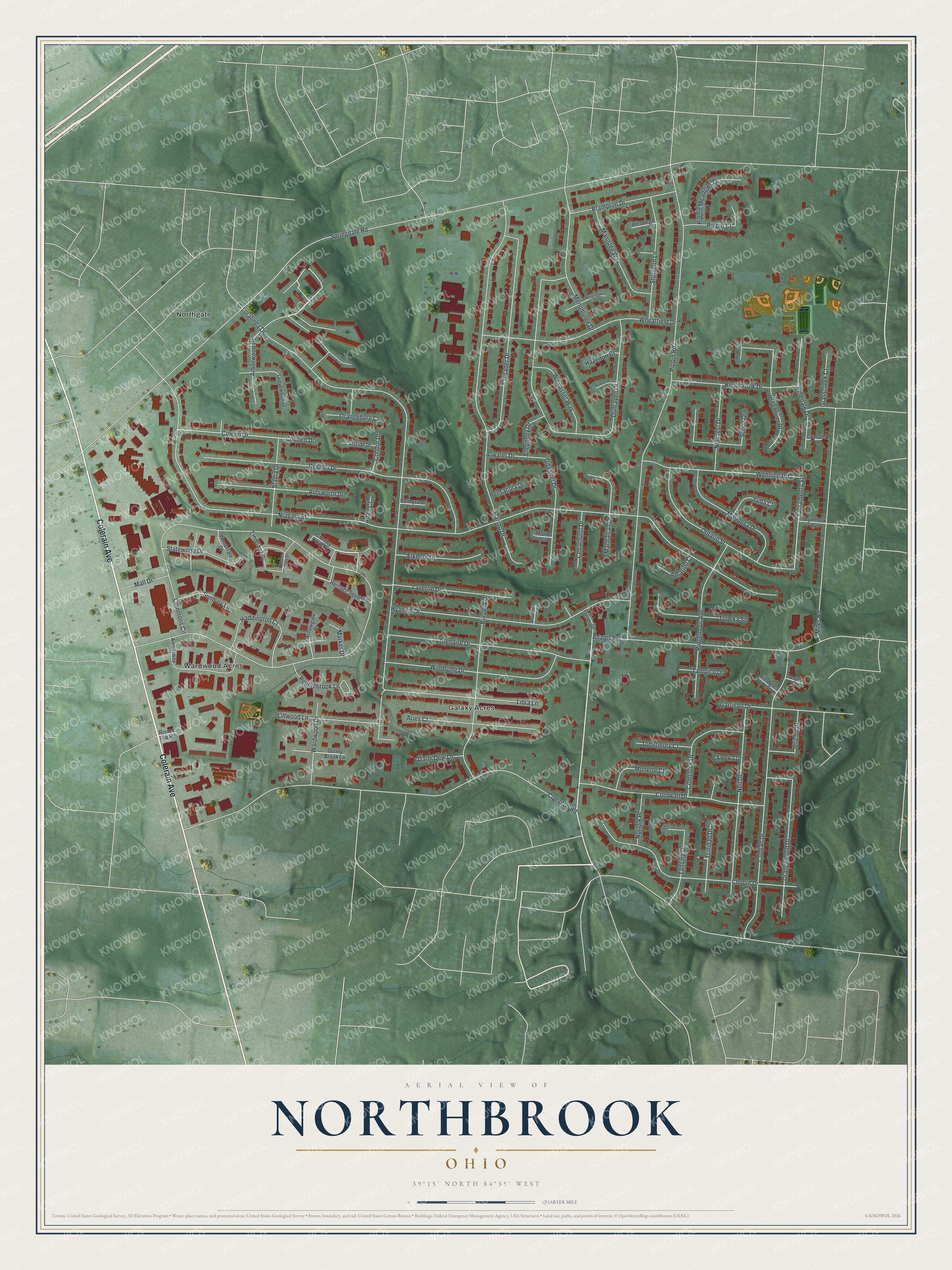
Street and place names on the Northbrook, Ohio map
These names are printed on the map of Northbrook, Ohio.
Places: Galaxy Acres, Northgate and Wardwood Acres.
Streets and roads: Colerain Avenue, Pippin Road, Arborwood Drive, Sacramento Street, Springdale Road, Niagara Street, Compton Road, Commons Circle, Loralinda Drive, Marino Drive, Dunraven Drive, Coogan Drive.
More street names, A to Z
Adair Court, Adams Road, Ainsworth Drive, Allegheny Drive, Amarillo Court, Amberway Court, Anaheim Court, Aries Court, Arroka Drive, Atwater Drive, Berthbrook Drive, Brampton Drive, Burgess Drive, Cedarhurst Drive, Chopin Drive, Cliffside Drive, Coleen Drive, Colleen Drive, Comstock Drive, Condor Drive, Cornwall Drive, Crosley Farm Drive, Crusader Drive, Darbi Dew Lane, Deshler Drive, Donny Brook Lane, Elkhorn Drive, Fieldglen Court, Garrison Drive, Gibralter Drive, Glenaire Drive, Glenrock Lane, Grasscreek Court, Greenriver Drive, Grovewood Drive, Haddington Court, Hazelton Court, Heritage Square Drive, Hidden Creek Drive, Honesdale Court, Hyannis Drive, Jasper Drive, Jericho Drive, Laverne Drive, Libra Lane, Lillwood Lane, Lindsay Lane, Lynnfork Avenue, Malibu Court, Mall Drive, Manhattan Drive, Manistee Way, Mariposa Drive, Marker Drive, Menominee Drive, Miles Road, Monette Court, Neil Drive, Norcrest Drive, Norfolk Place, Ontario Street, Orangeburg Court, Orangewood Drive, Palmyra Drive, Pebblebrook Lane, Pensacola Drive, Petobego Court, Pinedale Drive, Pippin Court, Pippin Meadows Drive, Pulver Drive, Ridgemoor Avenue, Round Top Road, Rumford Court, Schon Drive, Stadia Drive, Statewood Drive, Sturgeon Lane, Sunbury Lane, Tampico Drive, Tansing Drive, Tobermory Court, Topeka Street, Trinidad Drive, Wardwood Drive, Wenning Road, Wheatfield Drive, Willowgate Drive, Windsong Drive, Wiscasset Way, Woodstate Drive, Yuba Court.
See the Northbrook, Ohio map on a wall
The Northbrook map as an 18 x 24 inch print in a black frame.

This beautifully detailed map of Northbrook makes an attractive addition to your office, library, or den, and it can even be used to teach children the geography and history of the area. It also makes a great gift for anyone with Northbrook roots. When you’re done exploring, click here to get your copy of the Northbrook map.