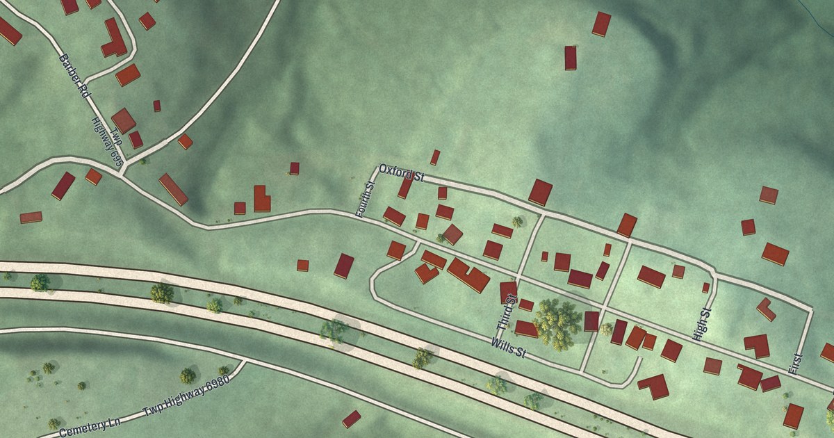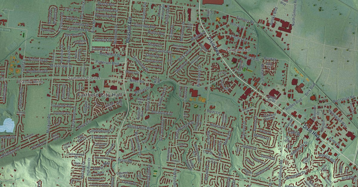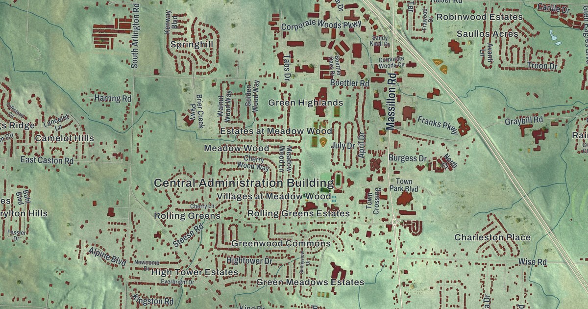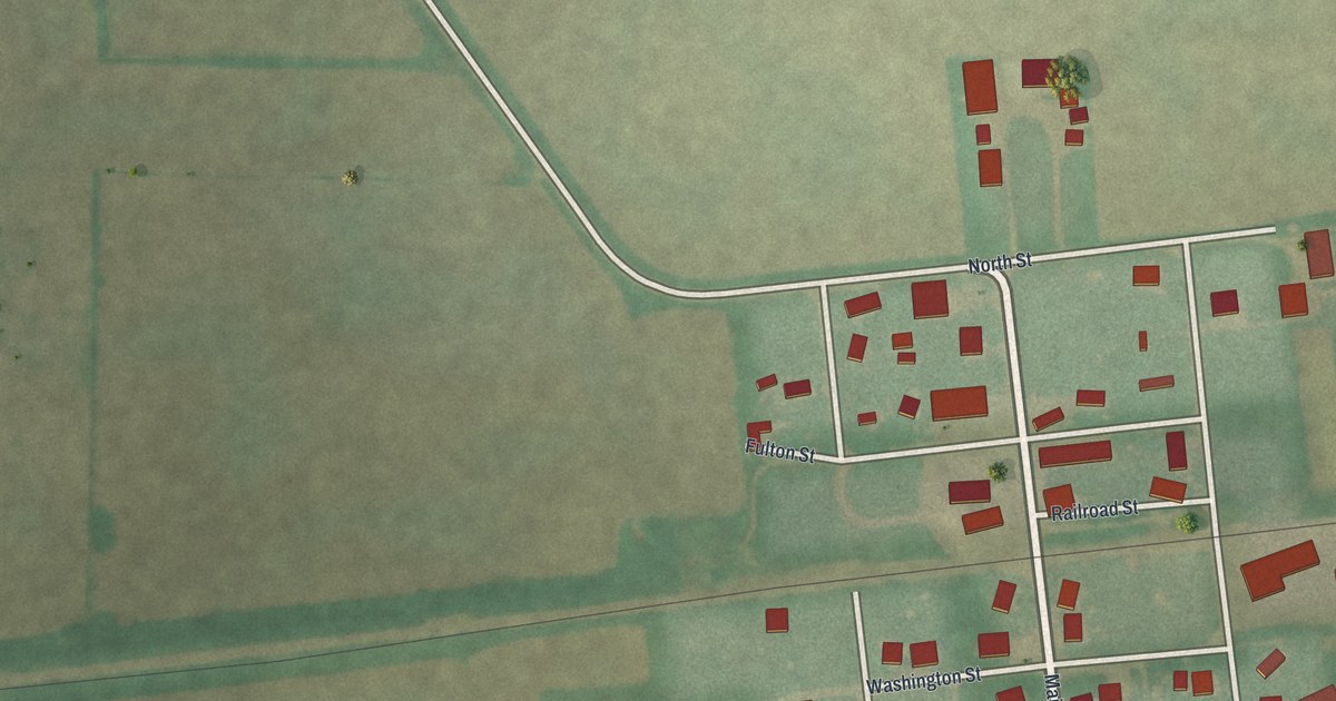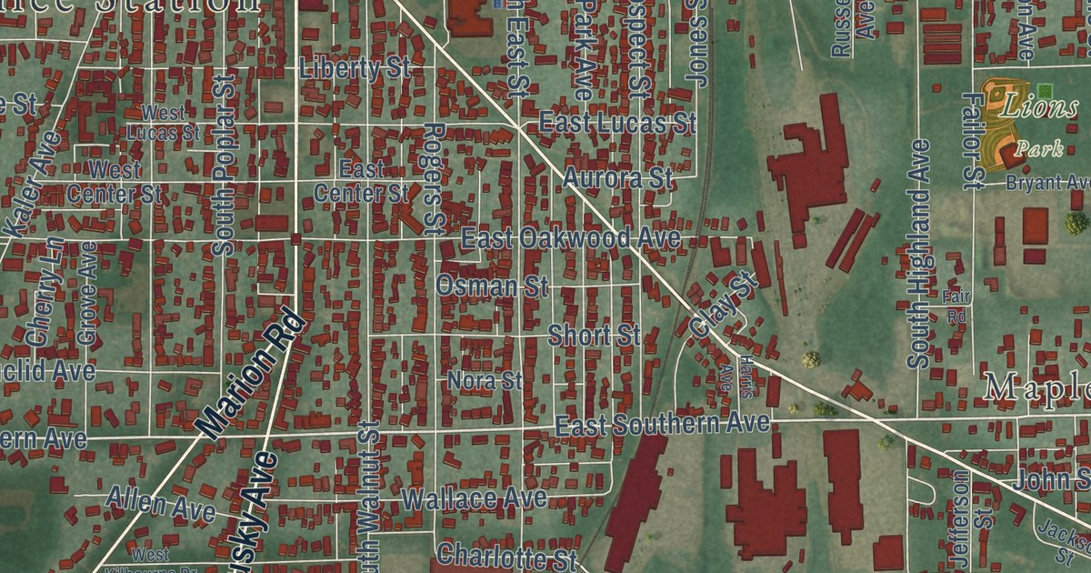
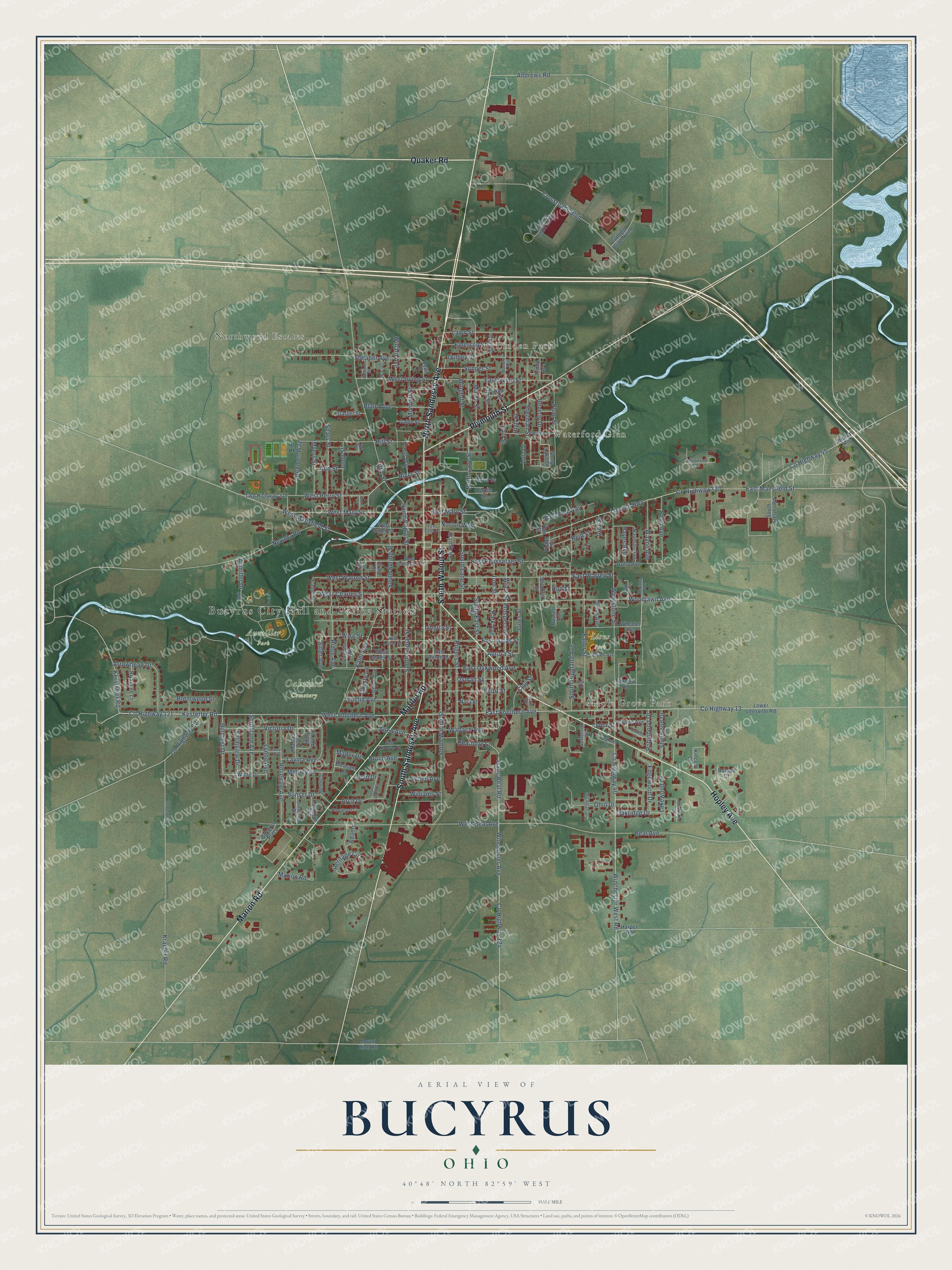
This beautifully detailed map of Bucyrus, Ohio was created in 2026 using aerial imagery combined with modern topographical, census, street and landmark data. It’s a one-of-a-kind view of Bucyrus that combines accurate data with a vintage aesthetic. The map shows every building in its true location, many of the roads carry their names, and the shaded topographic relief shows the shape of the land.
Explore an aerial view of Bucyrus, Ohio
On the map you’ll find Bucyrus City Hall and Police Station, Northwood Estates, Linden Park, Maple Grove Park, Waterford Glen, Aumiller Park, Oakwood Cemetery, and Lions Park, along with South Walnut Street, North Sandusky Avenue, South Sandusky Avenue, Hopley Avenue, and more. If you look closely you can even find your house accurately drawn in its correct location. Zoom in on the preview to look for yours.
Did you know this piece of Bucyrus, Ohio history?
Coppersmiths in Bucyrus have made kettles since shortly after the Civil War. A local hardware store needed apple butter kettles each season. Its owners retrained the store’s tinsmiths to work copper instead. When the partnership split, one partner opened a new company. Copper kettles are still made there by traditional methods.
Take a closer look at the Bucyrus map
Street and place names on the Bucyrus, Ohio map
These names are printed on the map of Bucyrus, Ohio.
Places: Bucyrus City Hall and Police Station, Northwood Estates, Linden Park, Maple Grove Park, Waterford Glen, Aumiller Park, Oakwood Cemetery and Lions Park.
Streets and roads: North Sandusky Avenue, South Walnut Street, South Sandusky Avenue, Hopley Avenue, Marion Road, Plymouth Street, Quaker Road, East Southern Avenue, West Southern Avenue, County Highway 121, Kerstetter Road, Kestetter Road.
More street names, A to Z
Adams, Allen Avenue, Andrews Road, Ann Street, Arch Drive, Arrowhead Drive, Aumiller Drive, Aurora Street, Auto Avenue, Beal Avenue, Beverly Drive, Bland Avenue, Brentwood Street, Brookside Drive, Bruce Avenue, Bryant Avenue, Bucyrus Plaza, Charlotte Street, Cherry Lane, Clark Street, Clay Street, Clinton Street, County Highway 12, County Highway 13, County Highway 40, County Highway 45, County Highway 124, County Highway 330, Crossroads Boulevard, Cullen Avenue, Cullen Court, Dean Street, Dudley Street, Dunloe Court, Dunn Avenue, Earl Street, East Center Street, East End Way, East Galen Street, East Irving Street, East Lucas Street, East Mansfield Street, East Mary Street, East Oakwood Avenue, East Rensselaer Street, East Warren Street, Edgewood Drive, Elm Street, Emerson Street, Ethel Street, Euclid Avenue, Failor Street, Fair Road, Fairview Avenue, Fairview Road, Farmview Drive, Fisher Street, Fremont Street, Gaius Street, Garnet Street, Grace Street, Grove Avenue, Gulling Drive North, Hall Street, Harper Road, Harris Avenue, Hayes Avenue, Heritage Circle, High Street, Hillcrest Drive, Hill Street, Holmes Court South, Home Circle Drive, Hull Street, Inez Street, Iron Street, Isaac Beal Road, Jackson Street, James Street, Jefferson Street, Joan Drive, John Street, Jones Street, Jump Street, Kaler Avenue, Kincora Drive, Kramer Avenue, Krauter Road, Lakewood Drive, Laura Avenue, Lavina Avenue, Lawn Street, Liberty Street, Lincoln Avenue, Lincoln Highway, Link Drive, Linwood Drive, Lower Leesville Road, Lutz Drive, Lynne Avenue, Mader Drive, Maple Street, Martha Avenue, Mary Ann Lane, McKinley Avenue, Melody Drive, Melody Lane, Michigan Drive, Milo Street, Monnett Street, Mount Zion Road, Myers Street, Nauman Avenue, Nevada Road, Nora Street, North Lane Street, North Poplar Street, Norton Way, Oakridge Drive, Ohio Drive, Orra Street, Osman Street, Park Avenue, Park Drive, Penn Avenue, Pinewood Court, Plants Way, Pleasant Lane, Plum Street, Prospect Street, Redmen Way, Reid Street, Ridge Avenue, Rikki Lee Lane, River Street, Robinhood Drive, Rogers Street, Rosedale Avenue, Russell Avenue, Schaber Avenue, Schell Avenue, Sears Street, Sheckler Street, Sherman Street, Sherwood Drive, Short Street, Sitler Avenue, Songer Street, South East Street, South Highland Avenue, Southland Avenue, South Lane Street, South Poplar Street, South Spring Street, South Stetzer Road, Stetzer Road, Stony Lake Drive, Sunset Drive, Swagart Street, Teddy Avenue, Tiffin Street, Twp Highway 122, Twp Highway 219, Union Avenue, Victoria Drive, Virginia Avenue, Wade Drive, Wallace Avenue, Water Street, Wayne Avenue, West Beal Avenue, West Center Street, West Charles Street, West Galen Street, West Irving Street, West Kilbourne Drive, West Lucas Street, West Mansfield Street, West Mary Street, West Perry Street, West Rensselaer Street, West Warren Street, Wheeler Avenue, Whetstone Street, Wilbur Street, Wiley Street, Willard Avenue, Williams Street, Winchester Avenue, Winchester West Road, Wingert Street, Wise Street, Woodland Drive, Woodlawn Avenue, Woodrow Avenue.
See the Bucyrus, Ohio map on a wall
The Bucyrus map as an 18 x 24 inch print in a black frame.

This beautifully detailed map of Bucyrus makes an attractive addition to your office, library, or den, and it can even be used to teach children the geography and history of the area. It also makes a great gift for someone who left Bucyrus and still calls it home. When you’re done exploring, click here to get your copy of the Bucyrus map.