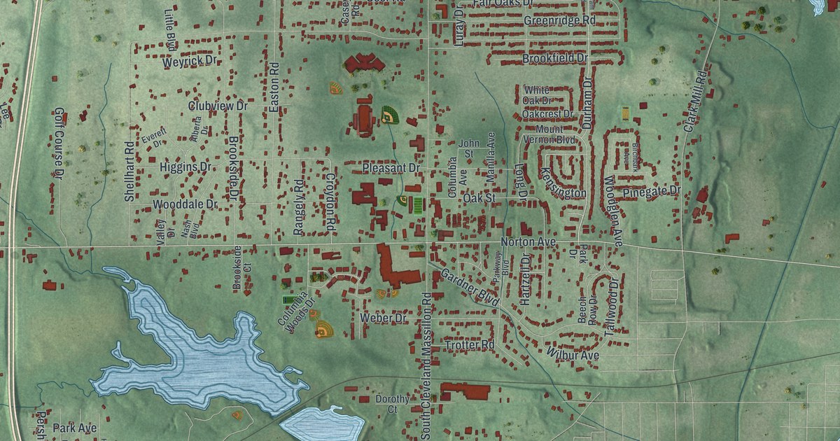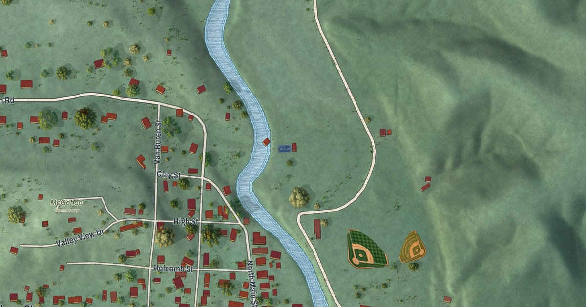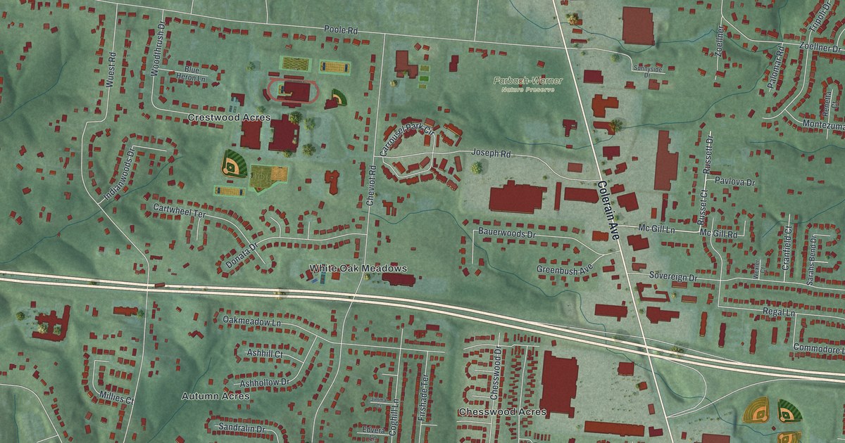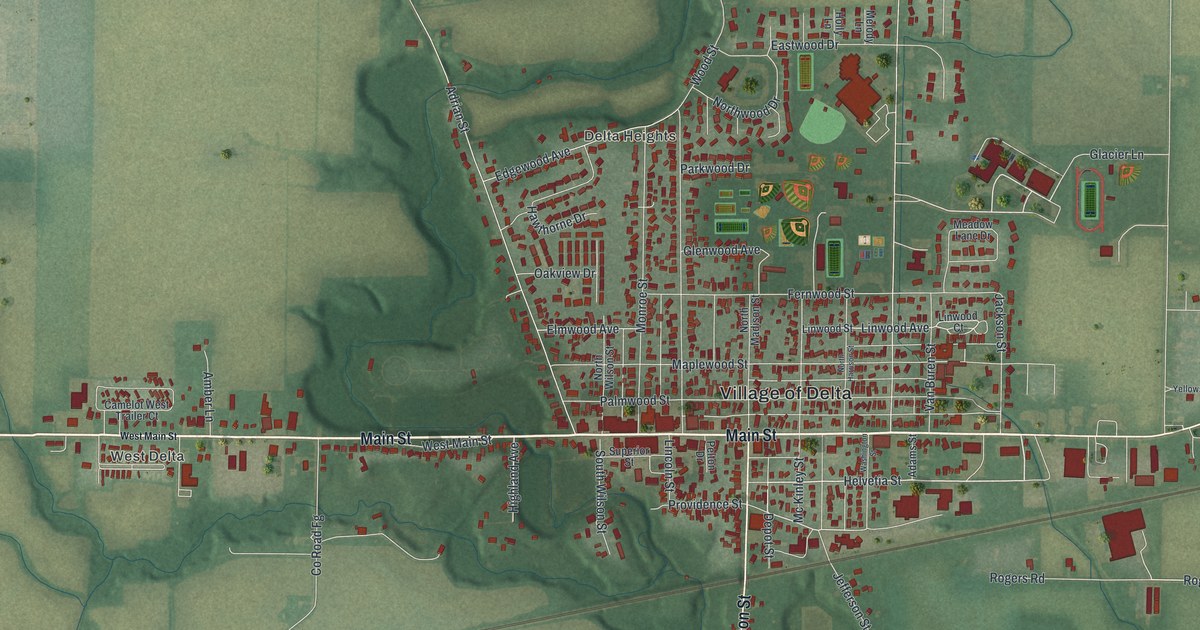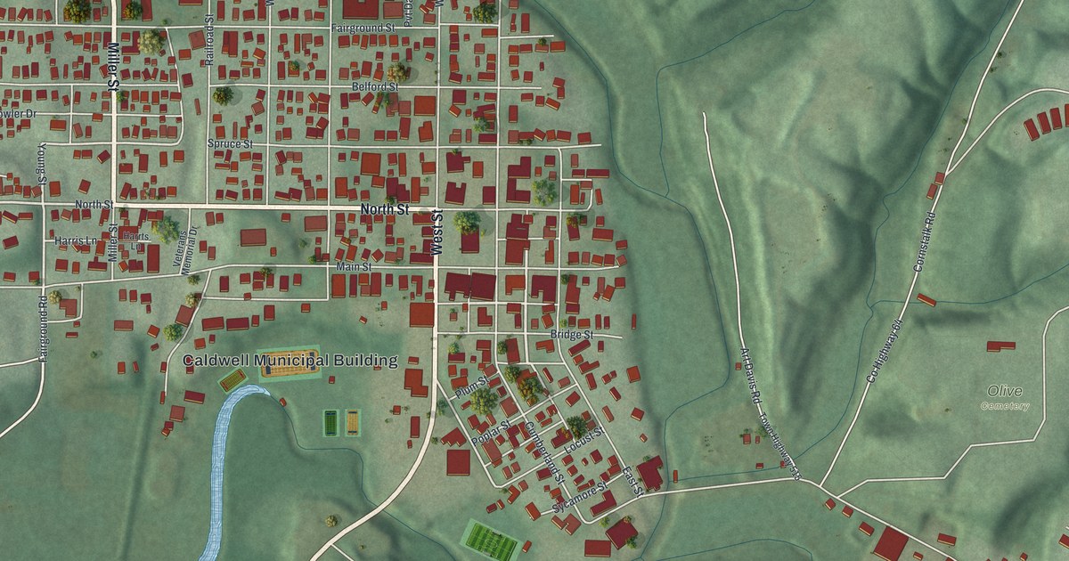
If you grew up on North Street or still have family in Caldwell, this map was made with you in mind. It's a new aerial view of Caldwell, the county seat of Noble County, Ohio, drawn from modern data and given a vintage feel. Red buildings fill the tight grid of downtown streets around the Caldwell Municipal Building. Green hills roll up on every side, and a blue creek winds south out of town.
How Samuel Caldwell's land became the county seat
On this map you'll find North Street, West Street, Main Street, East Street, Miller Street, Spruce Street, Locust Street, Walnut Street, Planing Mill Street, Sarahsville Road, Woodsfield Road, Fairground Road, Veterans Memorial Drive, the Caldwell Municipal Building, Olive Cemetery, and more. Each red shape is a building, so zoom in on the preview and look for yours.
Noble County was the last of Ohio's 88 counties to be formed. It started in 1851. Then came a contest to pick the county seat. Samuel Caldwell had pushed hard for the new county. His family came from Chester County, Pennsylvania. In 1809 they bought and cleared land along Duck Creek. Samuel promised to give land if it would be used for the county seat. It was, in 1857. To thank him, the county leaders named the new seat Caldwell. The Ohio History Connection tells this story on its Caldwell's Origins marker.
Brick buildings near North Street and West Street
Samuel and his wife, Sarah Brownrigg Caldwell, built their house in 1832. It's listed on the National Register, at the corner of East Street and Locust Street. The village grew once the Pennsylvania Railroad came in 1872. By 1873 this farm town was the second-largest tobacco producer in Ohio. Then two fires burned parts of downtown in 1897. Caldwell started a volunteer fire department after that. The village also banned new wood buildings within a block of the public square. The Noble County Jail and Sheriff's Office at 419 West Street is older than those fires. It was built of orange-red brick in 1881 and 1882, and it faces the courthouse square.
The Thorla-McKee Well off Woodsfield Road
Caldwell has one more story people like to tell. In 1814 Silas Thorla and Robert McKee dug a well looking for salt water. They found salt, and by accident, they found oil too. They soaked the oil up with blankets and sold it as a cure-all. The Thorla-McKee Well marker stands just south of Woodsfield Road, on the east side of town.
Caldwell from Planing Mill Street to Woodsfield Road
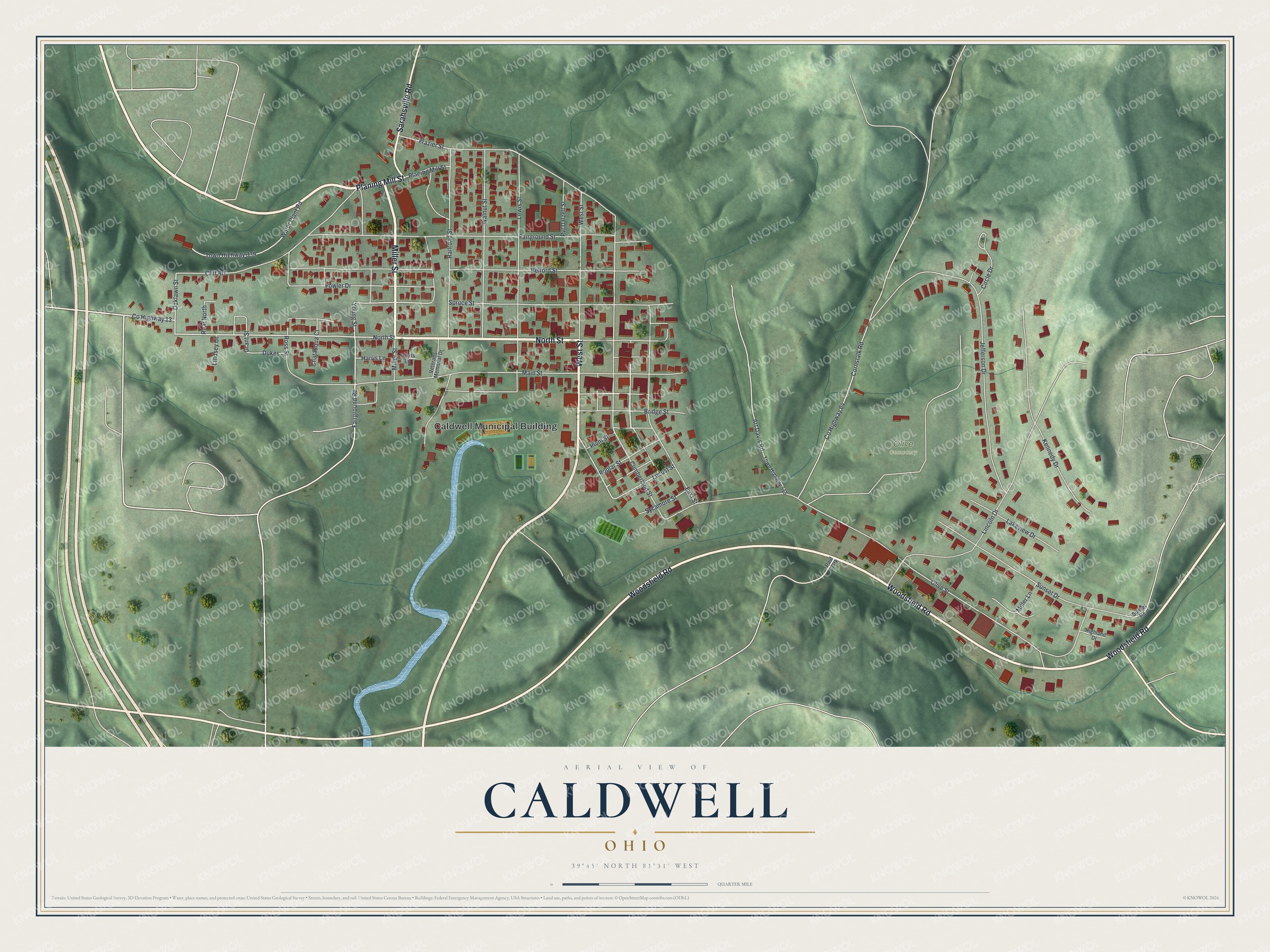
Created by KNOWOL in 2026, this print shows Caldwell from above, with shaded green hills, cream roads, red buildings and a blue creek. The title panel reads Aerial View of Caldwell, Ohio, with the coordinates 39°45' North 81°31' West.
It fits well in a living room, a front hall or a home office. It's a good gift for anyone who knows the courthouse square on West Street, or for family who moved away from Noble County. Open the preview and find your own street. See sizes and frames for the Caldwell map.