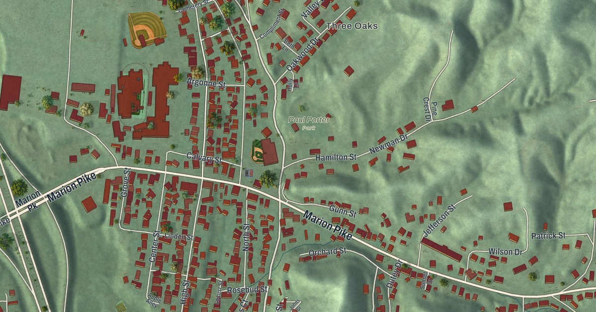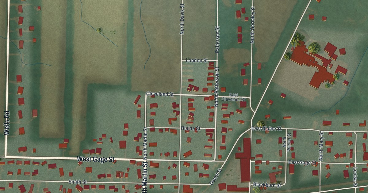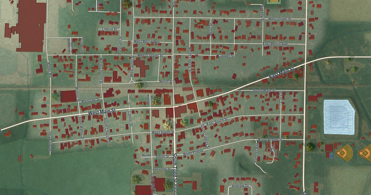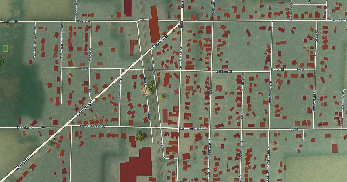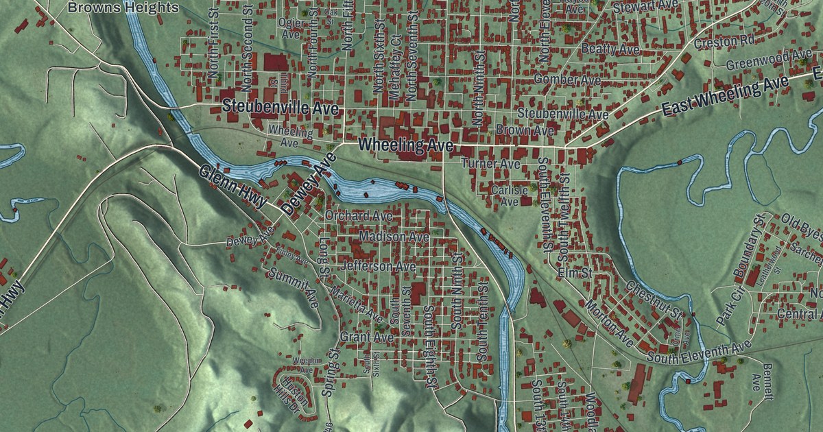
If you grew up near Wheeling Avenue or still have family in Cambridge, this map puts your whole town in one frame. It's a modern aerial view of Cambridge in Guernsey County, Ohio, built from public terrain, street and building data and given a vintage look. Thousands of small red buildings crowd the center of town. A blue creek loops past the north side, and green hills rise all around.
Wheeling Avenue and the streets of Cambridge
On this map you'll find Wheeling Avenue, Steubenville Avenue, Dewey Avenue, Highland Avenue, Southgate Parkway, John Glenn Highway, North Eighth Street, Upland Road, Sarchet Avenue, Northside Park, Northwood Cemetery, Henderson Heights, Georgetown, East Cambridge, and more. Each red shape is a building, so zoom in on the preview and look for yours.
How Guernsey families came to Cambridge in 1806
Cambridge was laid out in June 1806. Henry Howe tells the story in his Historical Collections of Ohio, written in 1891. On the very day the first lots went on sale, several families from Guernsey stopped here. Guernsey is a small British island near the coast of France. The families bought land right there. Today the county around the town carries the same name as their island. The town they joined is the one packed with red blocks around Wheeling Avenue.
Old buildings along Wheeling Avenue
Some of the old buildings on Wheeling Avenue are still standing. The Berwick Hotel and the Broom Building on Wheeling Avenue are both on the National Register. So is the Colonel Joseph Taylor House on Upland Road. An Ohio historical marker at 935 Wheeling Avenue tells of a first for the whole region west of the Alleghenies. In 1852, Killian H. Van Rensselaer started the first Scottish Rite body of Free Masonry west of the Alleghenies right here in Cambridge. He also oversaw the building of the railroad tunnel west of town.
Keep Cambridge and Wheeling Avenue close
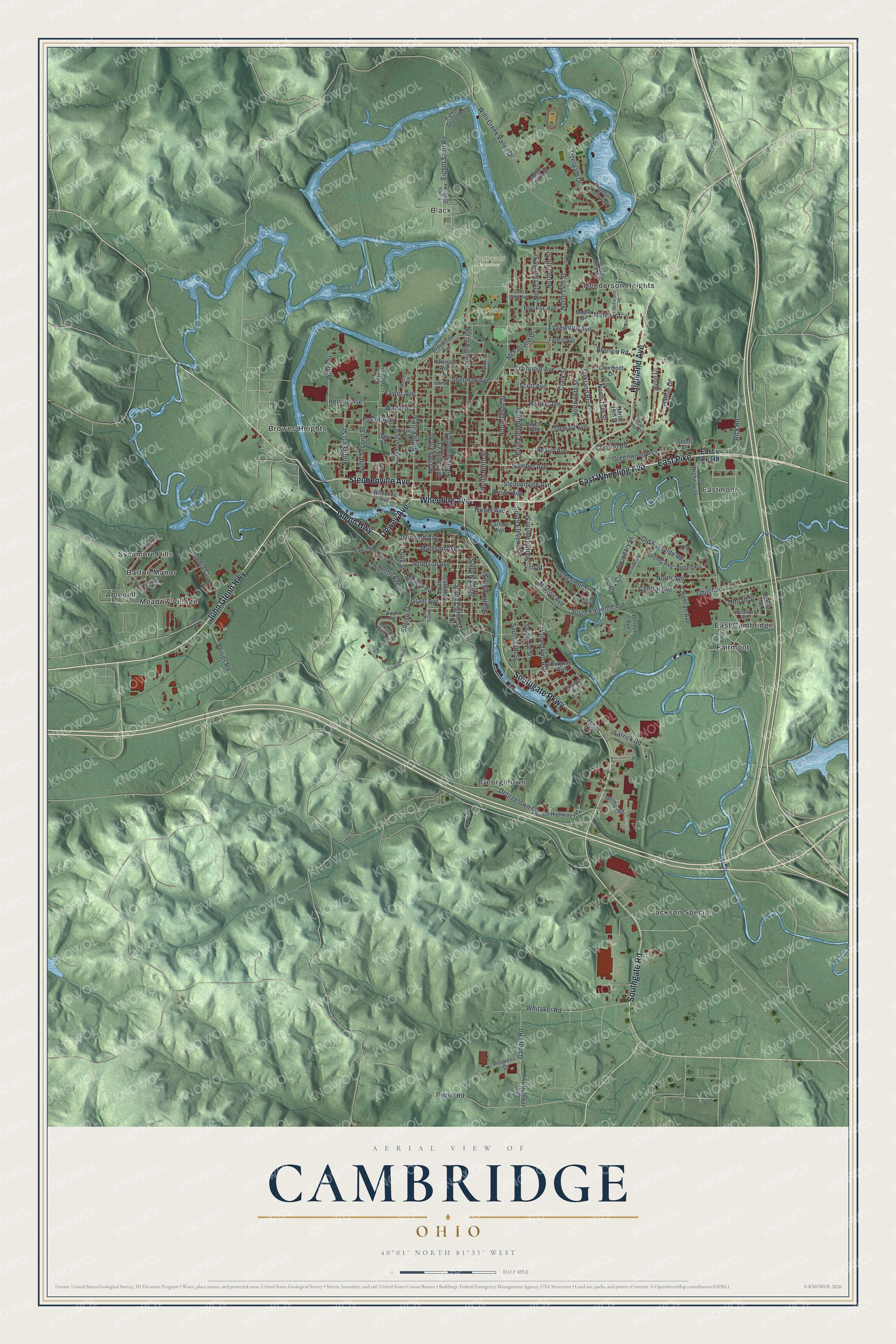
Created by KNOWOL in 2026, this print shows Cambridge from above, with shaded green hills, blue water and buildings in red. The title panel reads "Aerial View of Cambridge, Ohio" with the coordinates 40°01' North 81°35' West.
It fits a living room, a front hall or an office wall. It's a good gift for someone who moved away from Cambridge, or for a family with roots near Northside Park or on Steubenville Avenue. Open the preview and find the street you know best. See sizes and frames for the Cambridge map.