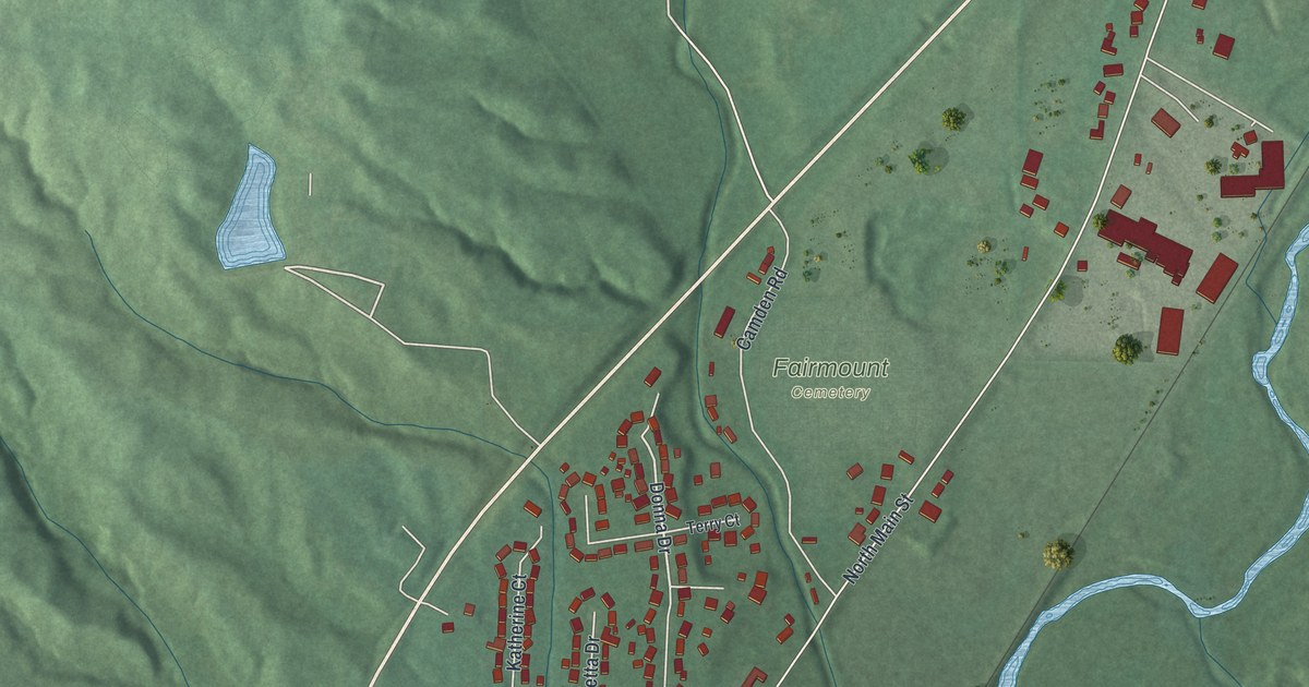
If you grew up on Central Avenue or went to school in Camden, this map will feel like home. It's a modern aerial view of Camden in Preble County, Ohio, made from modern data and finished with a vintage look. The village grid sits at the bottom, with long rows of homes reaching north past Fairmount Cemetery. Green hills roll across the whole sheet, and a winding blue stream runs down the east side.
Orchard Hill Cemetery on West Central Avenue
On this map you'll find East Central Avenue, West Central Avenue, North Main Street, South Main Street, North Lafayette Street, South Liberty Street, East Hendricks Street, West Hendricks Street, Anthony Wayne Parkway, Camden Sugar Valley Road, Barnetts Mill Road, Felix Street, Fairmount Cemetery, and more. Each red shape is a building, so zoom in on the preview and look for yours.
Some of Camden's oldest stories rest along West Central Avenue. In 1817, James Moore Sr. and his wife, Mary, gave a plot of land to the Methodist Episcopal Church. He'd fought in the Revolutionary War, and he helped found Camden. The church wasn't built until 1825. But the oldest grave stone found there is from 1818. It belonged to Simon P. Zimmerman, who was five years old. Many people buried there died in the cholera outbreak of 1849. In 1852, Felix and Rachel Marsh sold one more acre next to it "for a graveyard." Fruit orchards grew close by, so people called it Orchard Hill Cemetery. Early leaders of the town rest there. So do veterans from the Revolution through the Civil War. That's all told on the Ohio historical marker at the cemetery gate, on West Central Avenue.
Col. George D. Hendricks, born on the site of Camden
Henry Howe's 1891 history of Ohio tells of another first. The first boy born in Preble County was Col. George D. Hendricks. He was born on the site of Camden on October 3, 1805. As a young man, he fought under Sam Houston in the war between Texas and Mexico. Then he came back and settled in Eaton. He served in the Legislature. He was also county auditor, county sheriff and village postmaster. Howe wrote that Camden sat on the railroad and was a busy place to buy and ship grain and stock. Camden also has an East Hendricks Street and a West Hendricks Street.
Central Avenue and the Hills Around Camden
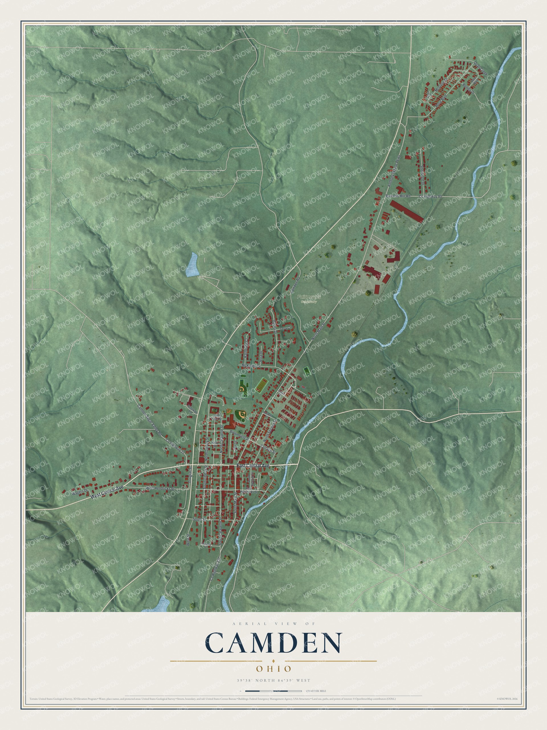
Created by KNOWOL in 2026, this print shows Camden's hills in soft green shaded relief from USGS elevation data. Buildings are red, and the stream is a bright blue line. The title panel reads "Aerial View of Camden, Ohio" with the coordinates 39°38' North 84°39' West.
It fits a living room, a front hall or a home office. It's a good gift for a Camden graduate, a family with roots at Orchard Hill, or anyone who knows the City Hall and Opera House on West Central Avenue. Open the preview and find your street. See sizes and frames for the Camden map.