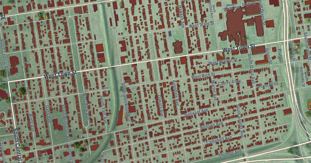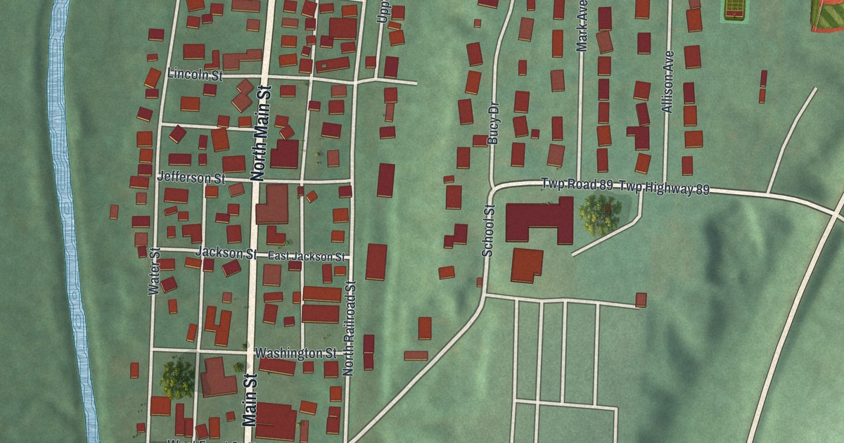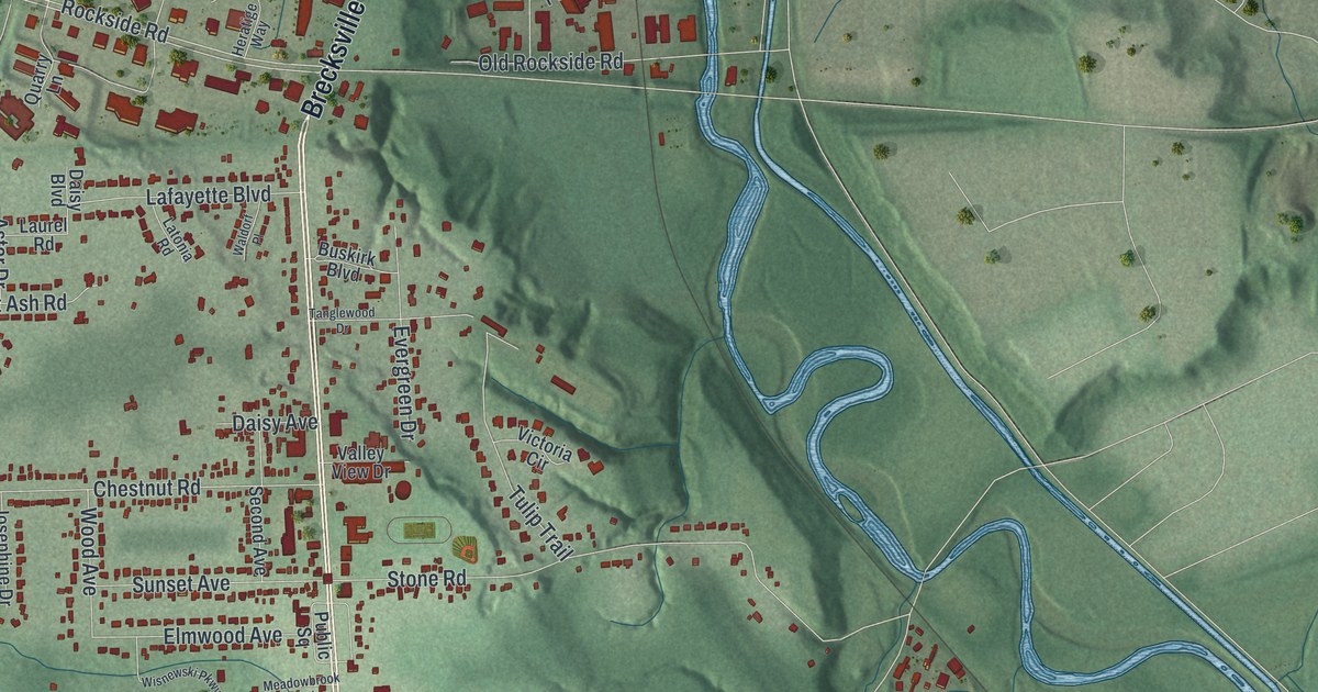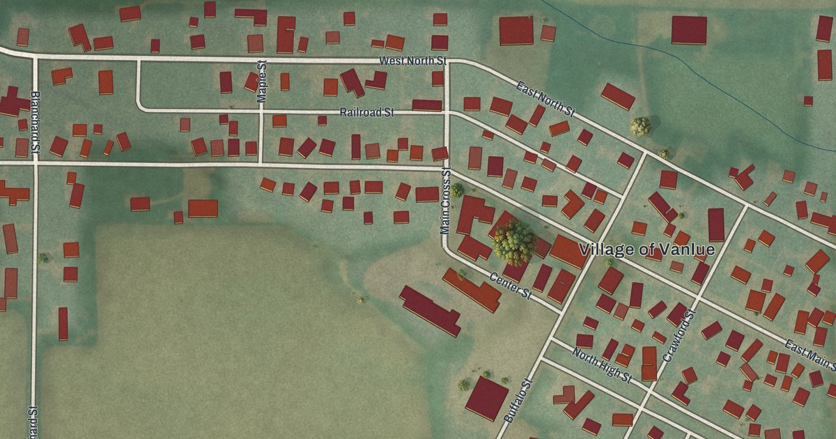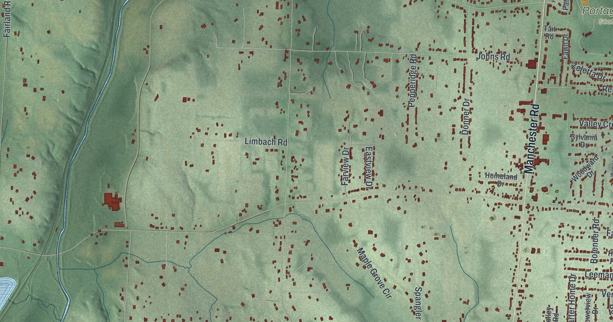
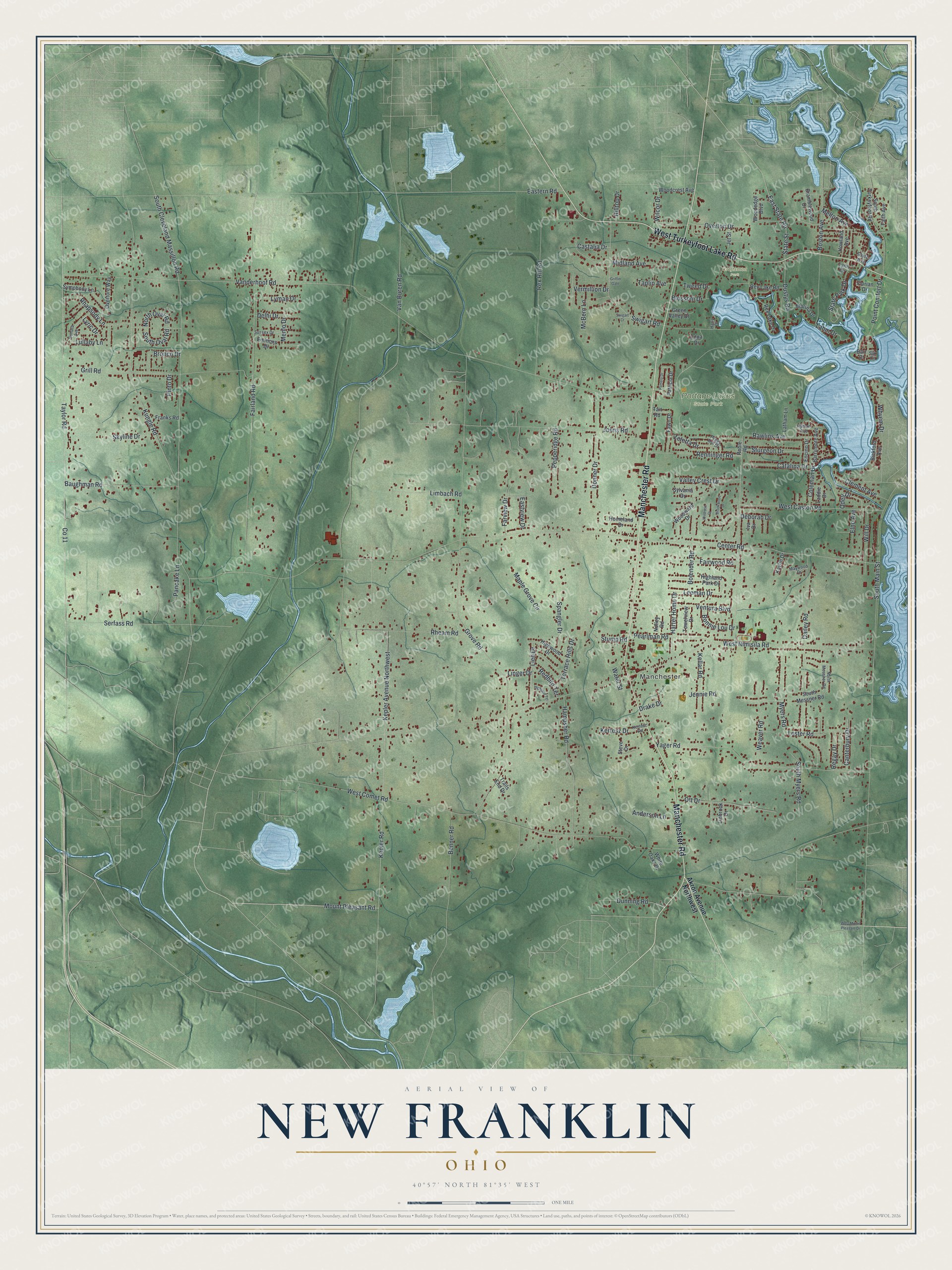
This beautifully detailed map of New Franklin, Ohio was created in 2026 using aerial imagery combined with modern topographical, census, street and landmark data. It’s a one-of-a-kind view of New Franklin that combines accurate data with a vintage aesthetic. The map shows every building in its true location, many of the roads carry their names, and the shaded topographic relief shows the shape of the land.
Explore an aerial view of New Franklin, Ohio
On the map you’ll find Manchester, Craftsmen Park, and Portage Lakes State Park, along with Manchester Road, West Turkeyfoot Lake Road, Mount Pleasant Road, North Oval Road, South Oval Road, Wilcor Drive, Center Road, Vanderhoof Road, West Comet Road, and more. If you look closely you can even find your house accurately drawn in its correct location. Zoom in on the preview to look for yours.
Did you know this piece of New Franklin, Ohio history?
Wild cranberries once filled the marshes of Franklin Township. By about 1830 they sold for 50 cents to a dollar a bushel. Whole families camped by the bogs at picking time. Merchants hauled thousands of bushels by wagon to Pittsburgh, Philadelphia and New York, and teamsters came back with dry goods, groceries and salt. That’s from the 1881 History of Summit County.
Take a closer look at the New Franklin map
Street and place names on the New Franklin, Ohio map
These names are printed on the map of New Franklin, Ohio.
Places: Manchester, Craftsmen Park and Portage Lakes State Park.
Streets and roads: Manchester Road, West Turkeyfoot Lake Road, Mount Pleasant Road, North Oval Road, South Oval Road, Wilcor Drive, Center Road, Vanderhoof Road, West Comet Road, West Nimisila Road, Grove Road, Van Buren Road.
More street names, A to Z
Akron Avenue Northwest, Anderson Lane, Barr Court, Barrymore Avenue, Baughman Road, Benner Road, Bickford Avenue, Blossom Drive, Bolender Road, Bonnie Lou Drive, Boston Avenue, Bramblewood Drive, Bronco Drive, Brookwood Drive, Canterbury Drive, Castalia Drive, Catalina Drive, Clement Avenue, Coleman Drive, Dailey Road, Deborah Drive, Delhi Drive, Donner Drive, Drake Drive, Dunning Road, Dustys Road, Eastern Road, East State Road, Eastview Drive, Edna Drive, Elno Avenue, Emmons Drive, Encino Drive, Fairland Road, Fairwood Road, Faith Avenue, Farview Drive, Fawn Drive, Florian Drive, Franks Road, Green Valley Drive, Griffin Gate, Grill Road, Hampsher Road, Harter Home Drive, Hartz Drive, Highland Park Drive, Highland Terrace, Highwood Drive, Hilltop Drive, Homeland Drive, Howland Avenue, Hyman Avenue, Iva Drive, Jennie Road, Jet Street, Johns Road, Kaylin Drive, Kellar Road, Kepler Avenue Northwest, Kepler Road, Kertesz Drive, Kertesz Road, Kungle Road, Laddie Drive, Lahm Drive, Latham Lane, Leeman Drive, Lester Road, Lieb Drive, Limbach Road, Linbrook Drive, Linger Drive, Lullaby Lane, Lyman Drive, Lynn Drive, Lyric Drive, Maple Grove Circle, Marina Drive, Maywood Drive, McBern Lane, Melton Avenue, Menlo Drive, Midland Avenue, Myers Road, Nolley Road, North Messner Road, Odell Drive, Ott Drive, Overton Drive, Overture Way, Pamela Drive, Pancake Lane, Patricia Drive, Pearlman Road, Peggy Ann Drive, Pepperidge Road, Pinto Drive, Point Comfort Drive, Rawlins Avenue, Redbird Terrace, Regay Drive, Renninger Road, Rex Hill Road, Rex Lake Drive, Rex Lake Road, Rhapsody Lane, Rheam Road, Roble Road, Serfass Road, Silk Court, Skyline Drive, Sonata Avenue, South Cleveland Massillon Road, South Main Street, South Messner Road, South Myers Road, South Turkeyfoot Road, Spangler Drive, State Park Drive, State Street, Steve Drive, Stump Road, Sturgeon Drive, Stutz Avenue, Sussex Drive, Swigart Court, Swigart Road, Sylvania Drive, Symphony Lane, Tait Road, Taplin Avenue, Taylor Road, Terrace Hills Drive, Towerview Drive, Trails End Drive, Tweed Drive, Valley Crest Drive, Ventura Boulevard, Vermillion Drive, Water Street, Weaver Road, West Caston Road, West Mount Pleasant Drive, White Oaks Drive, Whyem Drive, Wildrose Drive, Will Drive, Woodcrest Avenue, Woodedge Boulevard, Woodward Drive, Yager Road, Zeletta Drive.
See the New Franklin, Ohio map on a wall
The New Franklin map as an 18 x 24 inch print in a black frame.

This beautifully detailed map of New Franklin makes an attractive addition to your office, library, or den, and it can even be used to teach children the geography and history of the area. It also makes a great gift for anyone who grew up in New Franklin or moved away. When you’re done exploring, click here to get your copy of the New Franklin map.