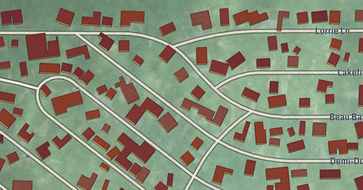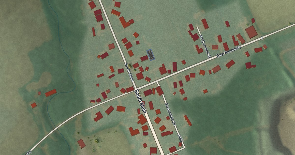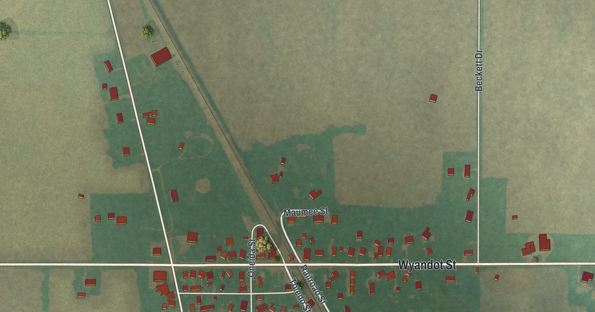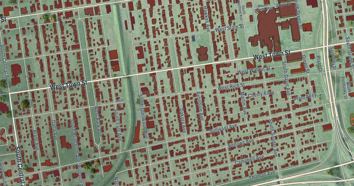
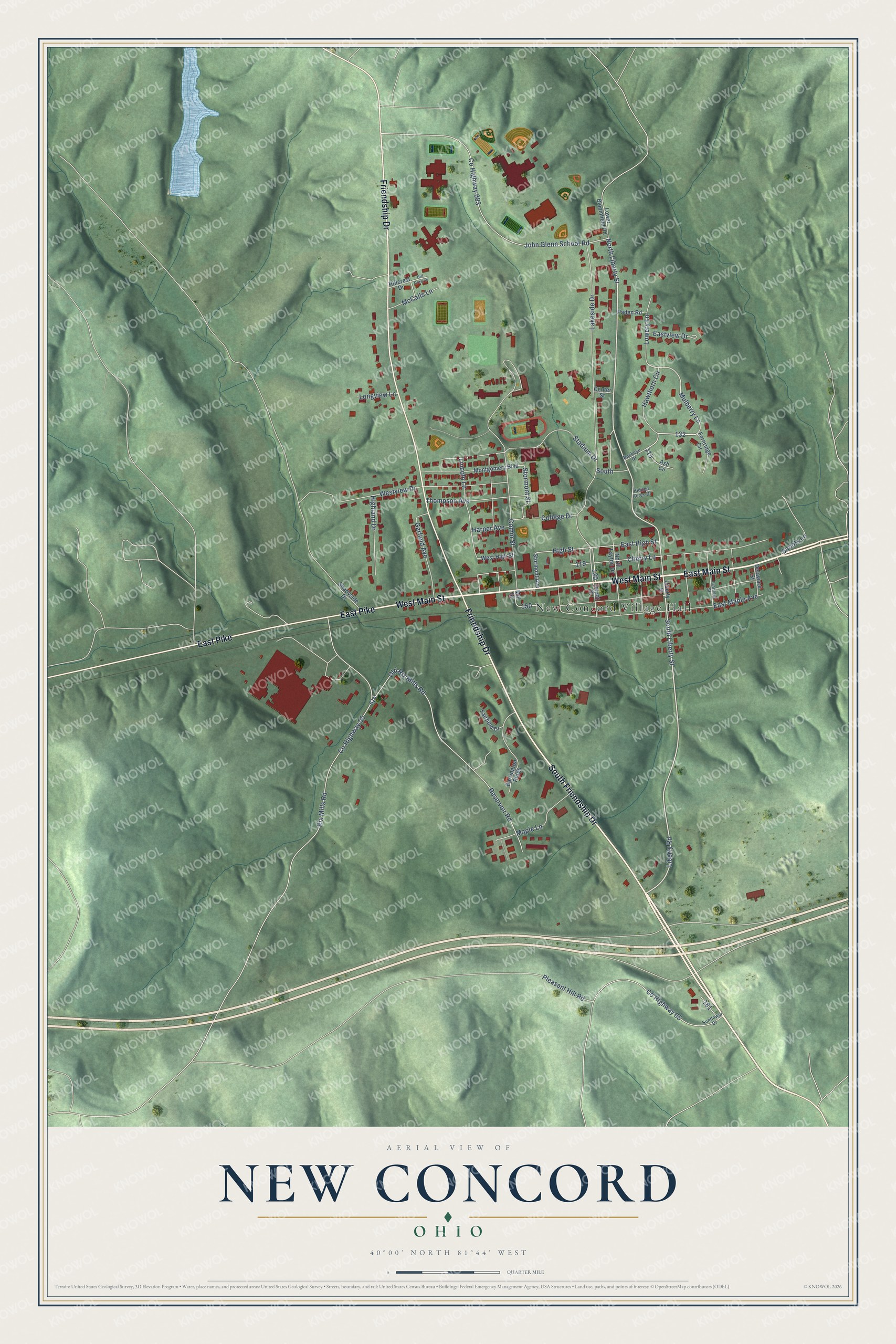
This beautifully detailed map of New Concord, Ohio was created in 2026 using aerial imagery combined with modern topographical, census, street and landmark data. It’s a one-of-a-kind view of New Concord that combines accurate data with a vintage aesthetic. The map shows every building in its true location, many of the roads carry their names, and the shaded topographic relief shows the shape of the land.
Explore an aerial view of New Concord, Ohio
On the map you’ll find New Concord Village Hall and New Concord Cemetery, along with East Main Street, West Main Street, South Friendship Drive, East Pike, Friendship Drive, Liberty Road, South Liberty Street, North Liberty Street, Mulberry Lane, High Street, and more. If you look closely you can even find your house accurately drawn in its correct location. Zoom in on the preview to look for yours.
Did you know this piece of New Concord, Ohio history?
New Concord was laid out in 1828, after the National Road was built out to this point. Muskingum University was founded in the village in 1837. John Glenn, the first American to orbit the Earth, is among its notable people. A museum there honors him and his wife Annie.
Take a closer look at the New Concord map
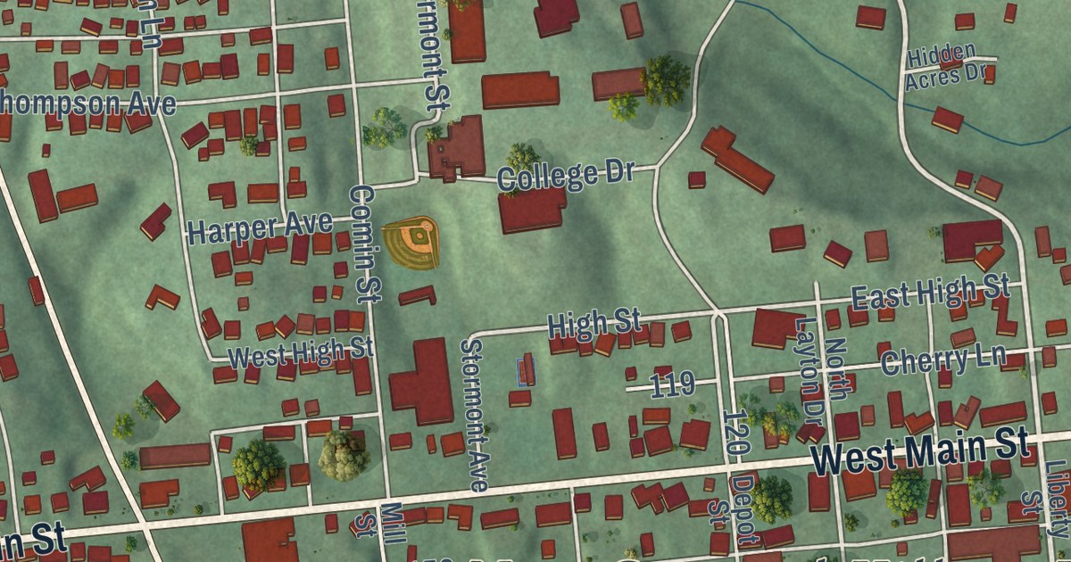
Street and place names on the New Concord, Ohio map
These names are printed on the map of New Concord, Ohio.
Places: New Concord Village Hall.
Streets and roads: East Main Street, South Friendship Drive, West Main Street, East Pike, Friendship Drive, Liberty Road, South Liberty Street, North Liberty Street, Mulberry Lane, High Street, College Drive, Stormont Street.
More street names, A to Z
Ash Circle, Barrington Ridge, Buckeye Drive, Center Street, Cherry Lane, Comin Street, County Highway 55, County Highway 65, County Highway 683, Delaware Street, Depot Street, East High Street, East Maple Avenue, Eastview Drive, Fairfield Drive, Fernridge Circle, Franklin Street, Garfield Avenue, Harper Avenue, Hawthorn Circle, Hidden Acres Drive, Highland Drive, Hillcrest Drive, Hill Crest Drive, John Glenn School Road, Lakeside Drive, Liberty Street, Lincoln Lane, Longview Lane, Lower Bloomfield Road, Lowery Lane, Maple Lane, McCalls Lane, Mill Street, Montgomery Boulevard, North Layton Drive, Old Rix Mills Road, Paden Road, Pleasant Hill Road, Reservoir Road, Rix Mills Road, Shadyside Drive, Snoots Lane, South, Stadium Drive, Stormont Avenue, Sunflower Drive, Thompson Avenue, West High Street, Westview Drive.
See the New Concord, Ohio map on a wall
The New Concord map as an 18 x 24 inch print in a black frame.

This beautifully detailed map of New Concord makes an attractive addition to your office, library, or den, and it can even be used to teach children the geography and history of the area. It also makes a great gift for someone who left New Concord and still calls it home. When you’re done exploring, click here to get your copy of the New Concord map.