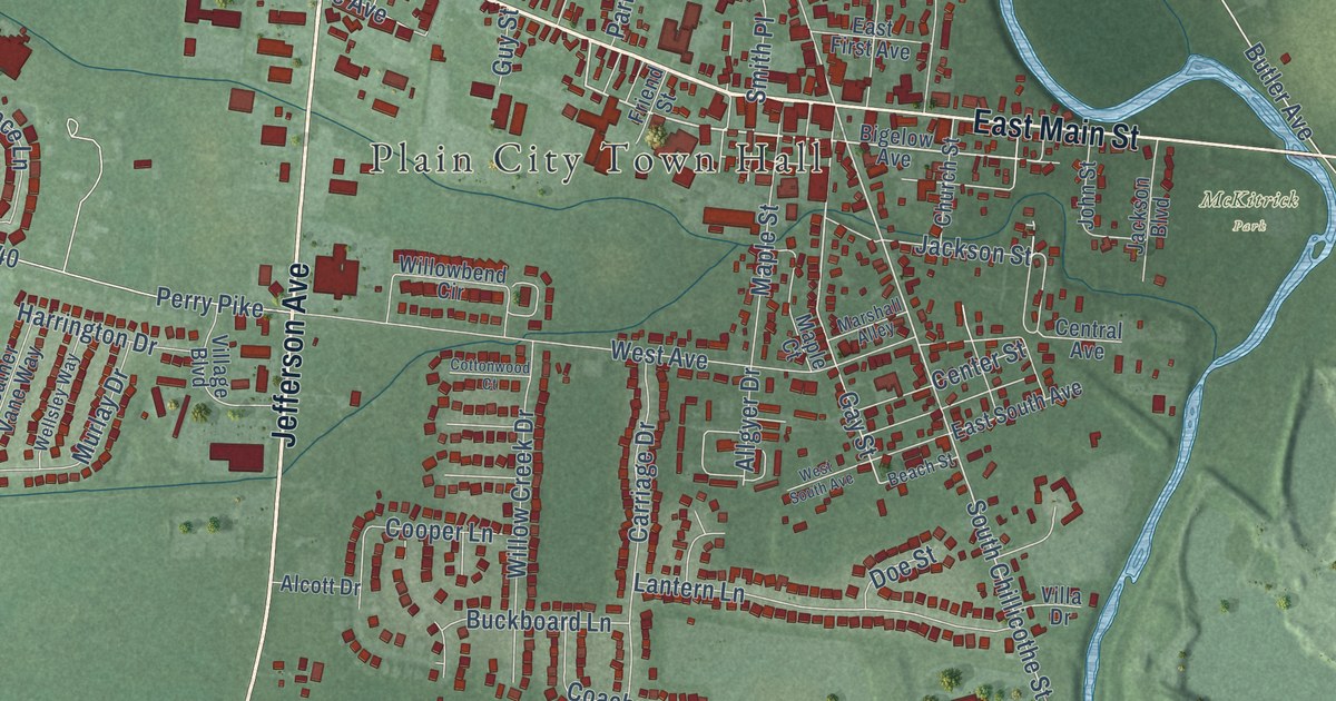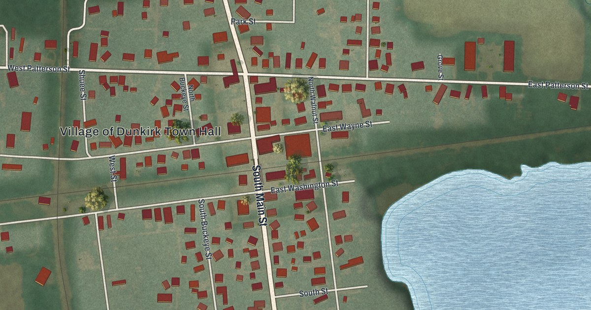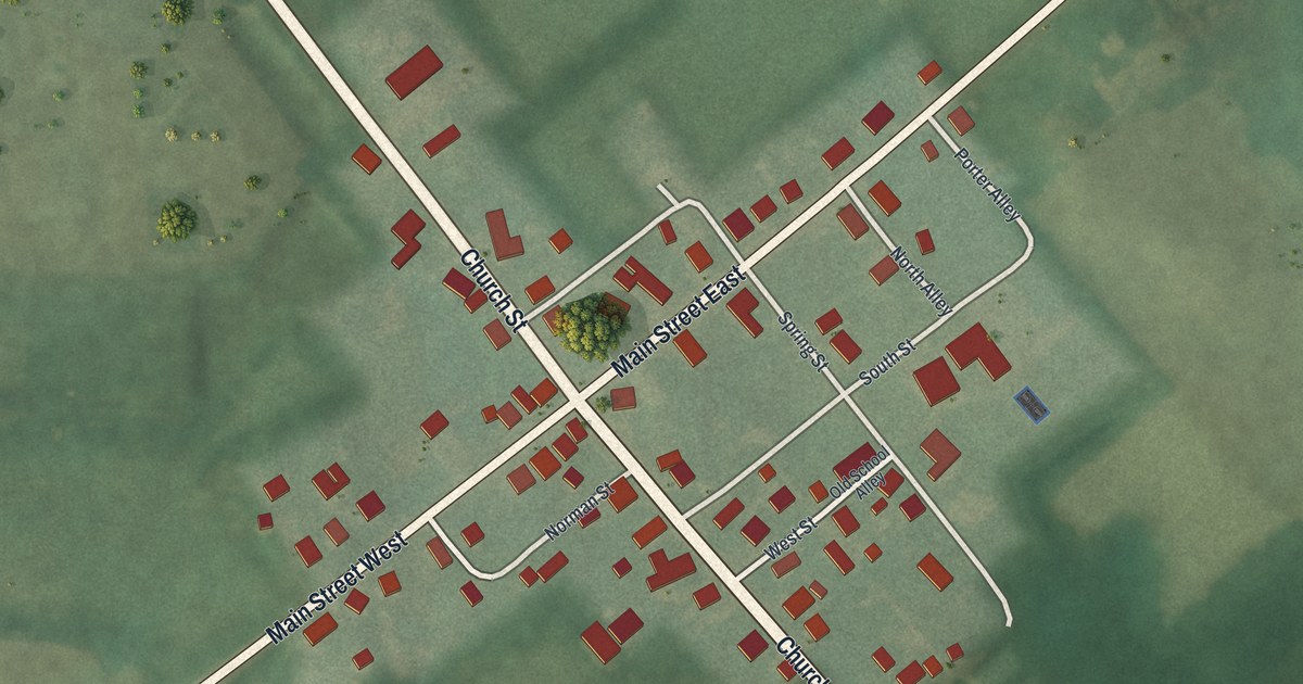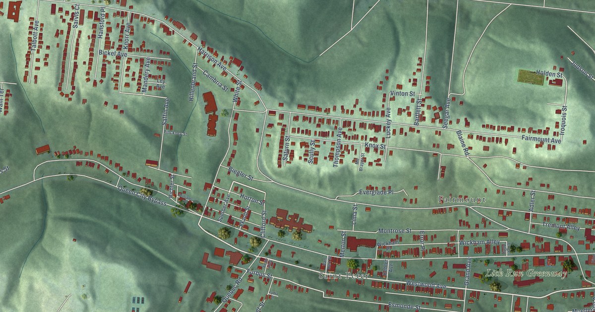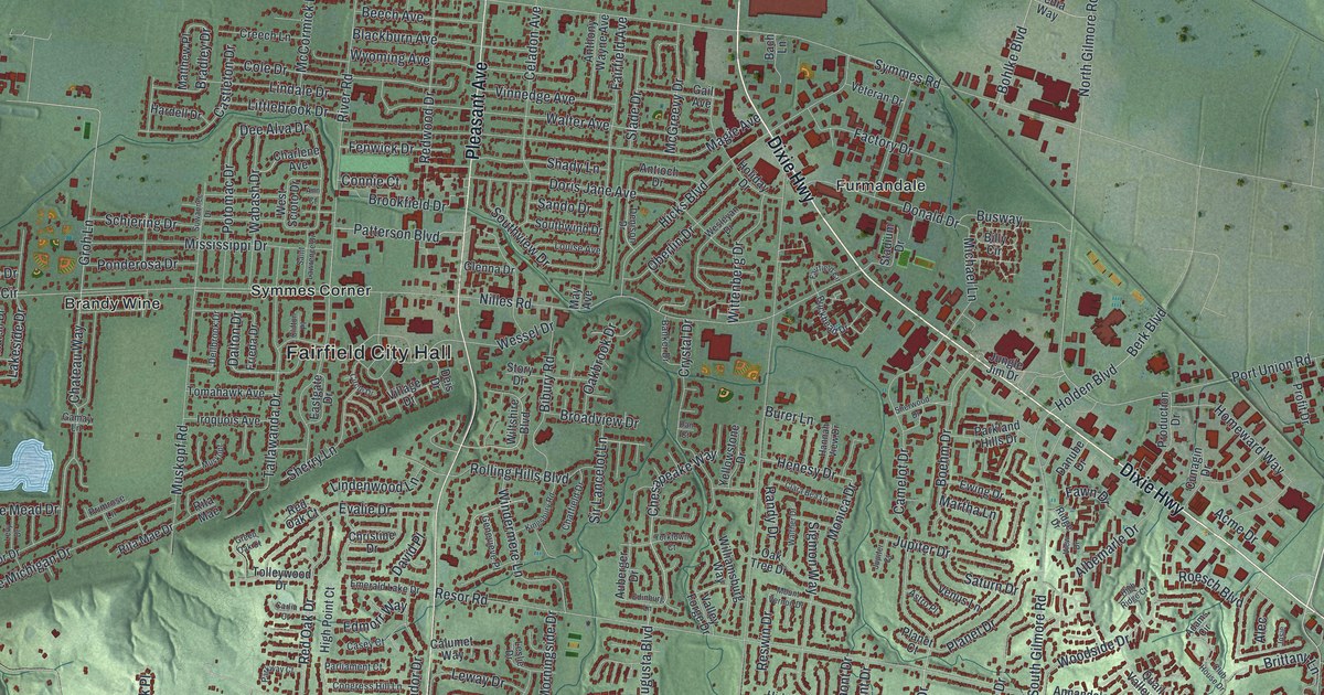
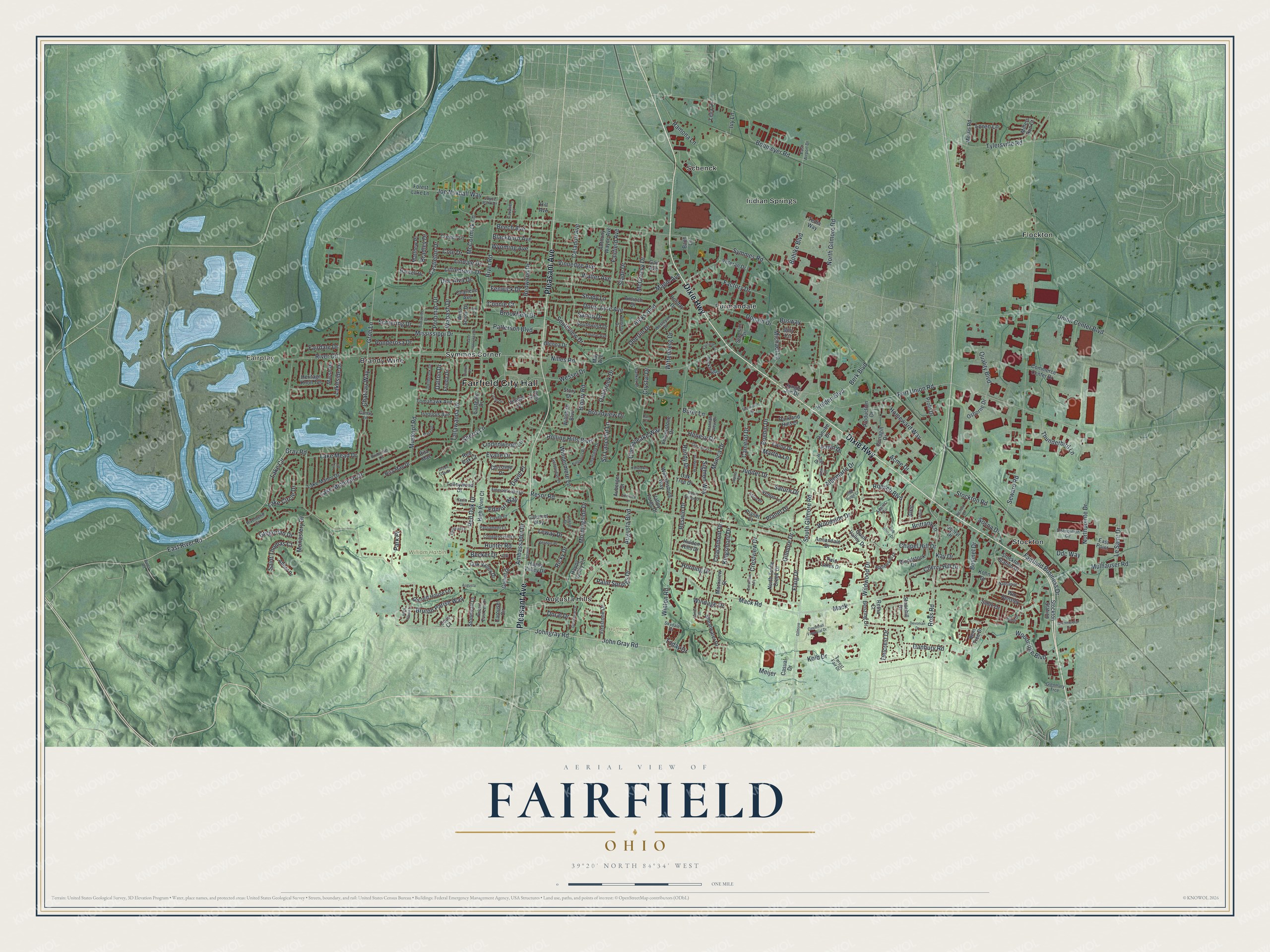
This beautifully detailed map of Fairfield, Ohio was created in 2026 using aerial imagery combined with modern topographical, census, street and landmark data. It’s a one-of-a-kind view of Fairfield that combines accurate data with a vintage aesthetic. The map shows every building in its true location, many of the roads carry their names, and the shaded topographic relief shows the shape of the land.
Explore an aerial view of Fairfield, Ohio
On the map you’ll find Fairfield City Hall, Fairplay, Huffman Park, William Harbin Park, Augusta Hills, Brandy Wine, Flockton, Furmandale, Indian Springs, Schenck, Stockton, Symmes Corner, and more. If you look closely you can even find your house accurately drawn in its correct location. Zoom in on the preview to look for yours.
Did you know this about Fairfield, Ohio?
The old hamlet of Fair Play, now part of the city, sat beside the Great Miami River on its eastern shore. Its mills included the first paper mill in Ohio. A flood destroyed the community in the late 1800s. Miami Chapel Cemetery and the Fair Play School still remain.
Take a closer look at the Fairfield map
Street and place names on the Fairfield, Ohio map
These names are printed on the map of Fairfield, Ohio.
Places: Fairfield City Hall, Fairplay, Huffman Park, William Harbin Park, Augusta Hills, Brandy Wine, Flockton, Furmandale, Indian Springs, Schenck, Stockton and Symmes Corner.
Streets and roads: Dixie Highway, Pleasant Avenue, East River Road, Woodridge Boulevard, Chesapeake Way, Gray Road, Ross Road, John Gray Road, Johngray Road, Fairfield Business Drive, Groh Lane, North Gilmore Road.
More street names, A to Z
Abbot Drive, Acme Drive, Adams Circle, Albemarle Drive, Alec, Ambassador Drive, Annandale Drive, Ann Court, Anthony Wayne Avenue, Antioch Drive, Applewood Drive, Astro Place, Auberger Drive, Augusta, Augusta Boulevard, Bach Lane, Banker Drive, Bartel Drive, Becker Drive, Beech Avenue, Bent Tree Drive, Benzing Drive, Berk Boulevard, Bibury Road, Billy Circle, Blackburn Avenue, Bobmeyer Road, Boehm Drive, Bohlke Boulevard, Boymel Drive, Bradley Drive, Brick House Lane, Brittany Lane, Broadview Drive, Brookfield Drive, Bruton Parish Way, Buckhead Drive, Burer Lane, Burns Road, Busway, Calumet Way, Camelot Drive, Carlin Court, Carousel Circle, Casey Court, Castleton Drive, Casual Drive, Cavalier Court, Celadon Avenue, Chapel Hill Drive, Charlene Avenue, Chateau Way, Chatfield Drive, Cherry Hill Drive, Cheryl Drive, Christine Drive, Cincinnati Financial Drive, Circle Drive, Citadel Drive, Clara Bea Lane, Clifton Place, Club House Drive, Coachmont Drive, Cody Court, Cole Drive, Commerce Center Drive, Commercial Drive, Congress Hill Lane, Connie Court, Creech Lane, Crestview Avenue, Crestview Drive, Crystal Drive, Cunagin Drive, Dalton Drive, Danbury Road, Dan Court, Danube Drive, David Place, Ddc Way, Dee Alva Drive, Deis Drive, Delcrest Drive, Dellbrook Drive, Denison Drive, Devonian Drive, Distribution Circle, Donald Drive, Doral Drive, Doris Jane Avenue, East Airport Drive, Eastgate Drive, East Point, Edinburg Lane, Edmorr Way, Elk, Emerald Lake Drive, Evalie Drive, Ewing Drive, Factory Drive, Fairdale Drive, Fairfield Avenue, Fairfield Circle, Fawn Drive, Fenwick Drive, Firestone Drive, Flaig Drive, Forest Fair Drive, Forest Lake Lane, Frieda Drive, Gail Avenue, Gamay Lane, Garrett House Lane, Gelhot Drive, Genevieve Place, Gilmore, Gilmore Drive, Glenmary Trce, Glenna Drive, Greenbriar Drive, Green Oak Court, Gregorian Drive, Hannah View Drive, Happy Valley Court, Happy Valley Drive, Hardell Drive, Henesy Drive, Heritage Knoll Terrace, Hicks Boulevard, Hidden Hills Drive, High Point Court, High Ridge Court, Hill Avenue, Holden Boulevard, Holiday Drive, Homeward Way, Horning Drive, Hunter Road, Iroquois Avenue, Ivy Lane, Joe Nuxhall Way, Josie, Joyce Park Drive, Jungle Jim Drive, Jupiter Court, Jupiter Drive, Kay Drive, Kingsbury Road, Kingsmont Drive, Kohn Drive, Kolb Drive, Lake Circle, Lake Circle Drive, Lake Manor Drive, Lake Mead Drive, Lake Michigan Drive, Lakeside Drive, Lelia Lane, Le Saint Drive, Leslie Drive, Levy Drive, Leway Drive, Lindale Drive, Lindenwood Lane, Littlebrook Drive, Loren Lane, Louise Avenue, Mack, Mack Road, Mackview Street, Magie Avenue, Marsh Drive, Martha Lane, Matthew Place, May Avenue, McCormick Lane, McGreevy Drive, Meijer, Michael Lane, Millers Run Court, Mississippi Drive, Monastery Drive, Monica Drive, Morningside Drive, Morris Road, Mount Vernon Drive, Mulhauser Road, Muskopf, Muskopf Road, Nathanial, Nilles Road, Northpointe Drive, North Turtle Creek Drive, Oakbrook Drive, Oak Tree Drive, Oak Valley Drive, Oberlin Drive, Osborne Drive, Palm Springs Drive, Parkland Hills Drive, Park Place, Parkway Court, Parliament Court, Patterson Boulevard, Planet Court, Planet Drive, Ponderosa Drive, Port Union Road, Potomac Drive, Primrose Lane, Production Drive, Profit Drive, Quail Valley Drive, Quality Boulevard, Ramona Lane, Randy Drive, Red Oak Court, Red Oak Drive, Redwood Drive, Resor Road, Reswin Drive, Retha Court, Richard Drive, Ricky Drive, Ridge Drive, Rita Mae, Rita Mae Drive, Riverbend Court, River Circle, River Road, Robert East Lee Drive, Roesch Boulevard, Rolling Hills Boulevard, Sable Drive, Saint Lawrence Drive, Saint Thomas Court, Sando Drive, Saturn Drive, Schiering Drive, Seward Road, Shady Lane, Shearwater Drive, Sherry Lane, Sherwood Drive, Sigmon Way, Sir Lancelot Lane, Skydale Drive, Slade Drive, Sosna Drive, South Gilmore Road, Southview Drive, Southwind Drive, Stadium Drive, Stockton Road, Stockton Station, Stockton Station Drive, Stonehill Drive, Stonewall Lane, Story Drive, Suwannee Drive, Symmes Road, Tallawanda Drive, Tedia Way, Thunderbird Lane, Today Drive, Tolleywood Drive, Tomahawk Avenue, Twin Lakes Drive, Tylersville Road, Union Center Boulevard, Valley Forge Drive, Venus Lane, Vernon, Vernon Place, Veteran Drive, View Drive, Village Drive, Vinnedge Avenue, Wabash Drive, Walter Avenue, Walther Drive, Wesleyan Drive, Wessel Drive, West Scioto Drive, Wildwood Drive, Williamsburg Way, Wiltshire Boulevard, Windage Drive, Windermere Lane, Winton Road, Wittenberg Drive, Wm Hensley, Woodside Drive, Woodstock Drive, Wyoming Avenue, Yellowstone Drive, Yorktown Court.
See the Fairfield, Ohio map on a wall
The Fairfield map as an 18 x 24 inch print in a black frame.

This beautifully detailed map of Fairfield makes an attractive addition to your office, library, or den, and it can even be used to teach children the geography and history of the area. It also makes a great gift for anyone who grew up in Fairfield or moved away. When you’re done exploring, click here to get your copy of the Fairfield map.