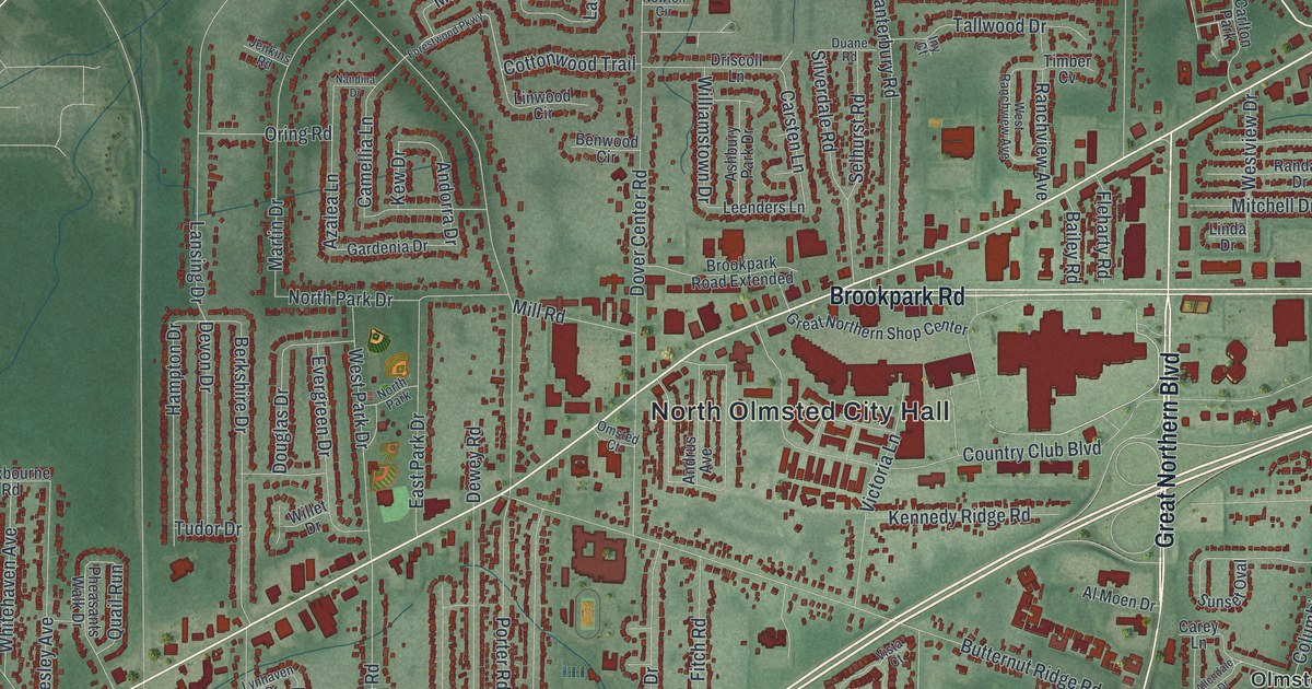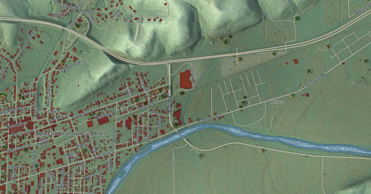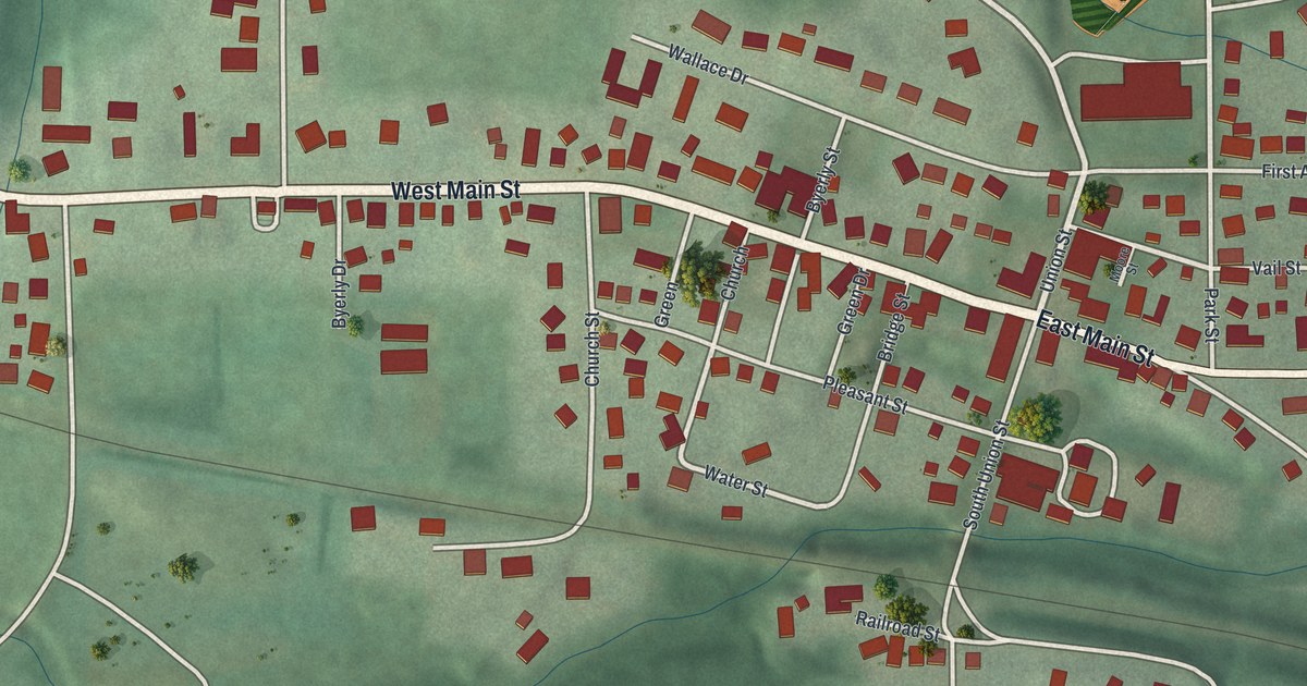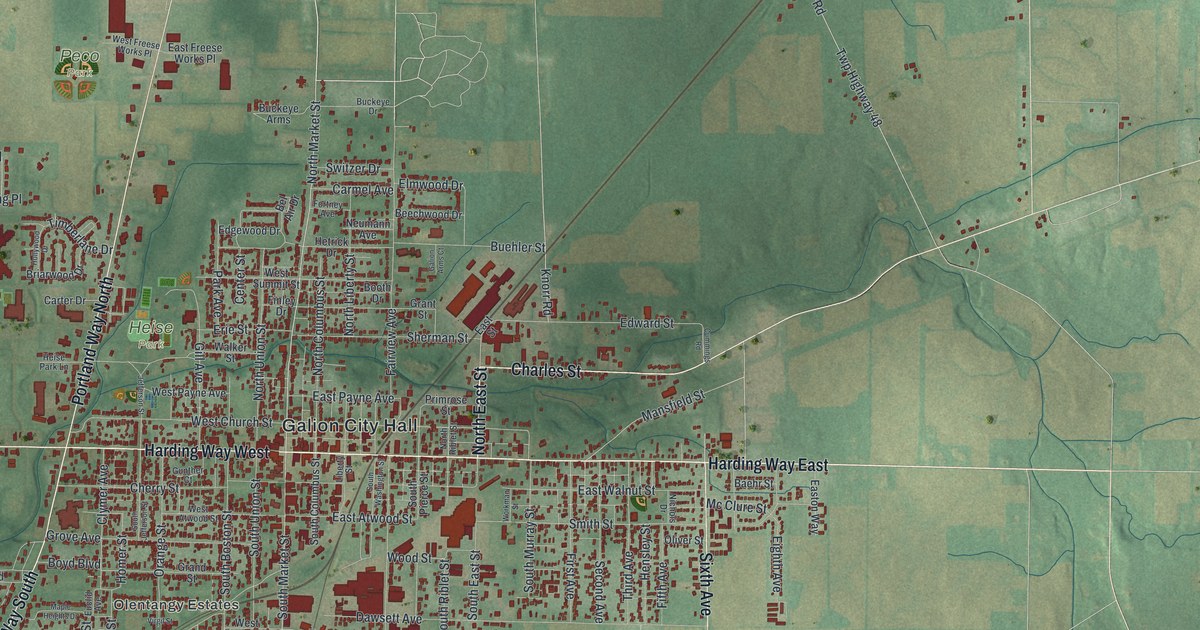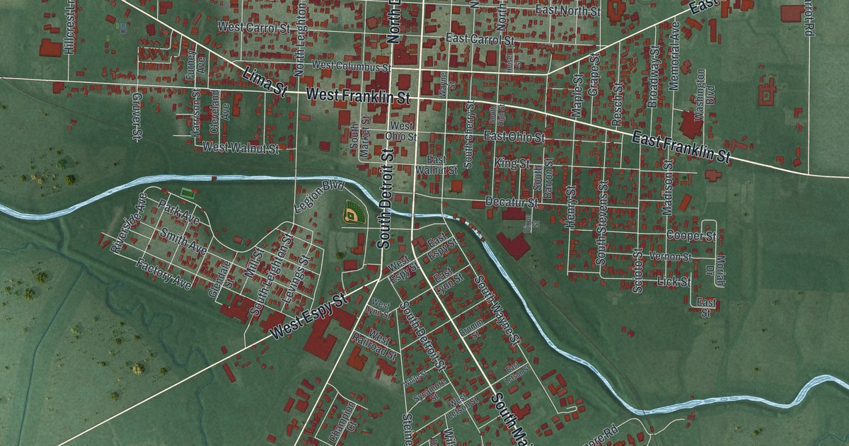
If you grew up in Kenton, or you still have family on the streets around the courthouse, this print was made for you. It's a modern aerial view of Kenton in Hardin County, Ohio, built from modern data and given a vintage look. Red buildings are packed close along North Main Street and West Franklin Street. A pale blue river curves through the middle of town. Down in the lower left, the blue oval of Saulisberry Park stands out against the green fields.
Kenton Hardware and its cast iron toys
On this map you'll find North Main Street, South Main Street, West Franklin Street, East Franklin Street, North Detroit Street, West Espy Street, East Columbus Street, Lima Street, North Market Street, South Wayne Street, Jacob Parrot Road, Saulisberry Park, and more. Each red shape is a building, so zoom in on the preview and look for yours.
Kenton toys are still prized by collectors around the world. The story starts in 1890, when the Kenton Lock Manufacturing Company was formed here. It grew into the Kenton Hardware Company. An Ohio historical marker says it became one of the world's largest cast iron toy factories. Under L.S. Bixler, the plant made toy stoves, banks and fire company outfits. It also made horse drawn vehicles, cars and cap pistols. In 1938 it started making the Gene Autry cap pistol, and that one was hugely popular. The plant stopped making toys in 1952. The marker stands near 350 West Espy Street, so find West Espy Street on the map to see where it all happened.
Jacob Parrott and the first Medal of Honor
Jacob Parrott is buried at Grove Cemetery in Kenton. He was born in Fairfield County in 1843. At 18 he joined Company K of the 33rd Ohio Volunteer Infantry. He was the youngest man in the famous Andrews Raid. On April 12, 1862, the raiders seized a locomotive called "The General" at Big Shanty, Georgia. Parrott was captured and later freed in a prisoner exchange. On March 25, 1863, he became the first person to receive the Medal of Honor, as his grave marker records.
A Kenton map from Main Street to Saulisberry Park
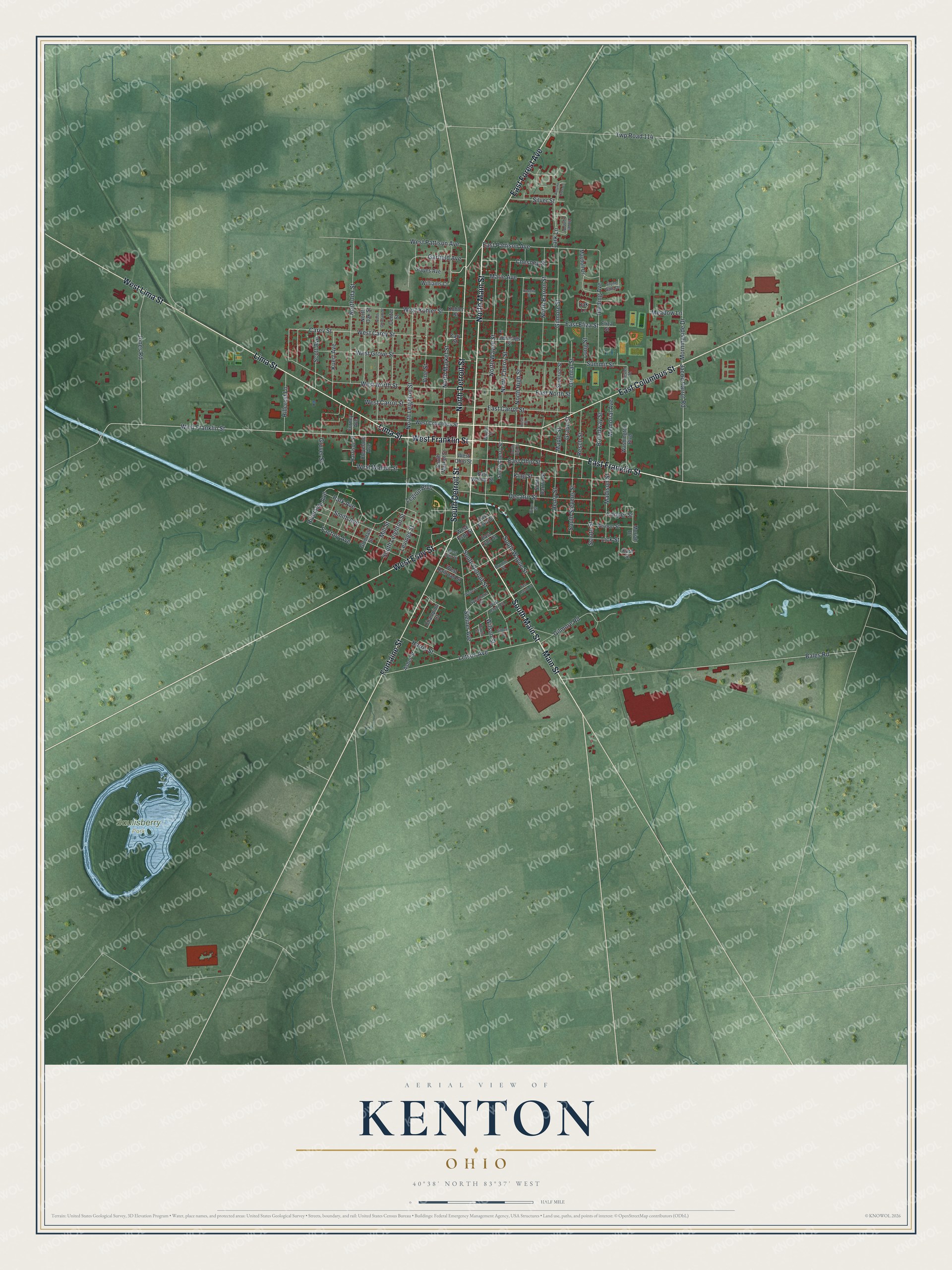
Created by KNOWOL in 2026, this print shows Kenton in soft greens, with buildings in deep red and the river in pale blue. Thin white lines trace the roads out into the farm fields. The title panel reads "Aerial View of Kenton, Ohio" with the coordinates 40°38' North 83°37' West.
It fits well in a living room, a den or a home office. It's a good gift for someone who grew up a few blocks from the Hardin County Courthouse, or for anyone who still keeps a Kenton toy on a shelf. Open the preview and find your street. See sizes and frames for the Kenton map.