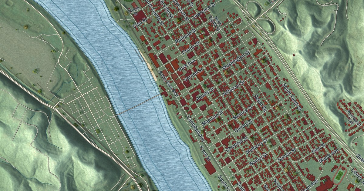
If you grew up in Ironton, went to Ironton High, or never miss the Memorial Day parade, this map gives you plenty to find. It's a modern aerial view of Ironton in Lawrence County, Ohio, made from modern data with a vintage artistic feel. The town fills a long strip of flat land between the Ohio River and steep green hills, with the Kentucky hills rising across the water. More than 9,000 buildings are drawn in deep red, from Green Valley at the downriver end of town down toward the hills near the high school.
Center Street, Park Avenue and Green Valley
Start where Center Street meets the river, near the middle of the sheet. Walk inland and you'll cross the numbered streets. Center Street splits them in two, so North Fifth Street runs downriver and South Fifth Street runs upriver. A marker at Center and South Fifth says Ironton has held its Memorial Day parade since 1868. One block upriver, Park Avenue heads inland. It turns into Park Drive and climbs into the hills at the top right.
Head back to Center Street and go downriver. Railroad Street and Lawrence Street cross the numbered streets there. Railroad Street keeps going toward the top left corner. Green Valley is printed up there, with Thomas, Karin and Cliff Streets. Now go upriver past Park Avenue to Vernon Street and Washington Street. Keep going on South Seventh Street. Farther down, near the hills, a big red building sits beside a green field. Many of the roads are labeled, and each red shape is a building, so zoom in on the preview and look for yours.
How the Ironton Tanks beat the Chicago Bears
That building beside the field is Ironton High School. The Ironton Tanks, a semi-pro football team, started in 1919. They played other semi-pro teams and teams from the league that became the NFL. In twelve seasons they won 85 games, lost 19 and tied 14. Their wins included games against the Chicago Bears and the New York Giants. Their home was Tanks Memorial Stadium, which opened at the school in 1926. The team broke up in 1931. Five players went on to the Portsmouth Spartans, the team that became the Detroit Lions. That's all on an Ohio History Connection marker at the school. It also says the stadium is one of the few roofed high school football stadiums left in the country.
John Campbell's house on North Fifth Street
Ironton was founded in 1849 by ironmasters, railroad men and investors. They wanted a town where they could make iron and ship it down the Ohio River. John Campbell is called the founder of Ironton. He was an ironmaster and an abolitionist. In 1850 he built a house and barn at North Fifth Street and Lawrence Street. It became a stop on the Underground Railroad. People fleeing slavery crossed the river from Kentucky and hid there. Then furnace wagons carried them north by way of Campbell's iron furnaces. Find that corner a few blocks downriver from Center Street.
South Seventh Street, from downtown to the hills
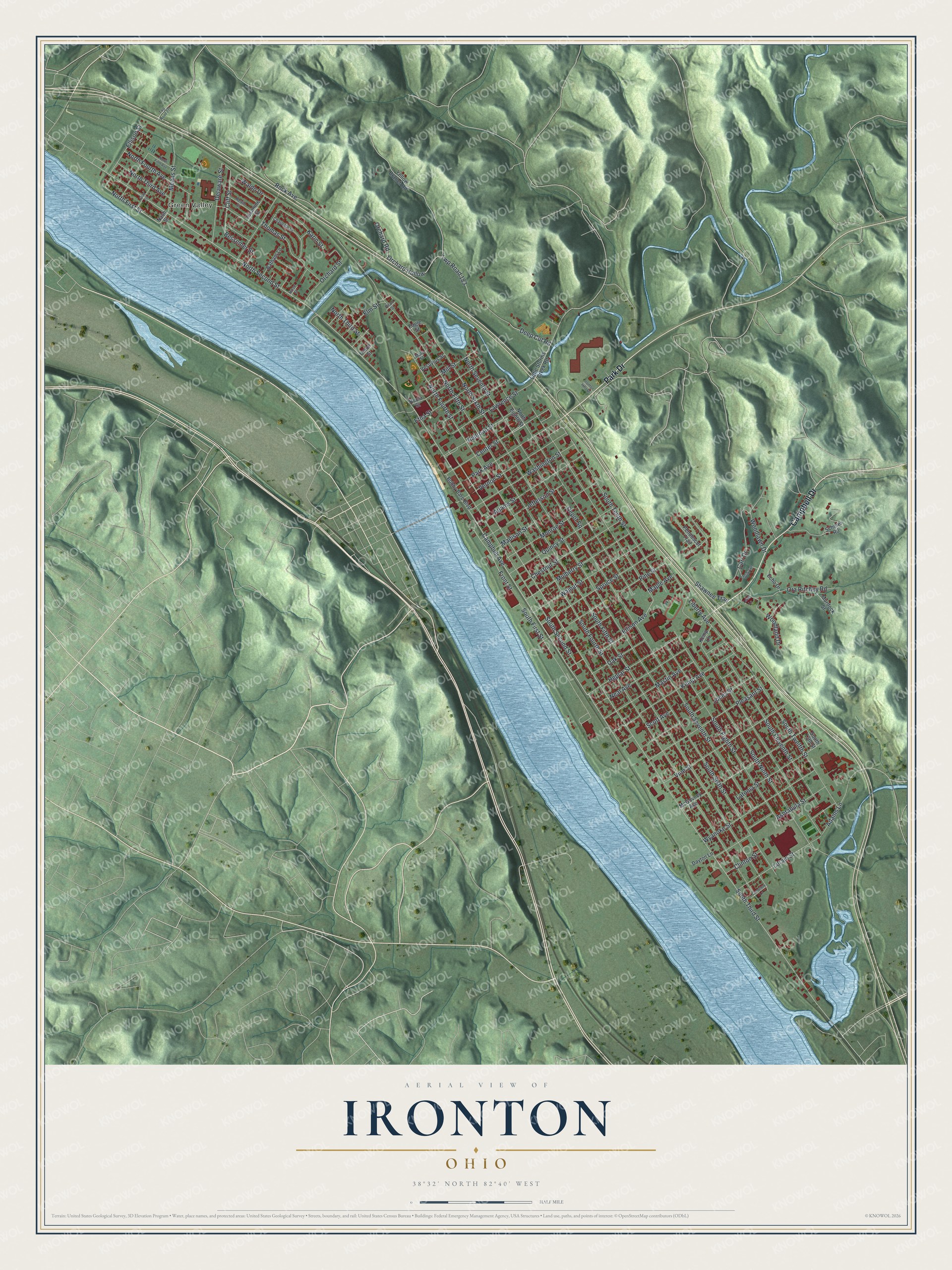
Created by KNOWOL in 2026, this map of Ironton shows the town's red blocks packed between the blue river and the green ridges. The hill shading comes from USGS elevation data. Across the bottom, the title panel reads "Aerial View of Ironton, Ohio," with 38°32' North, 82°40' West and a half-mile scale bar.
It suits a den, an office or a front hall where people stop to look. It's a good gift for someone who played or cheered at Tanks Memorial Stadium, a family that turns out for the parade every May, or anyone who grew up here and moved away. Open the preview and follow South Seventh Street to a block you know. See sizes and frames for the Ironton map.