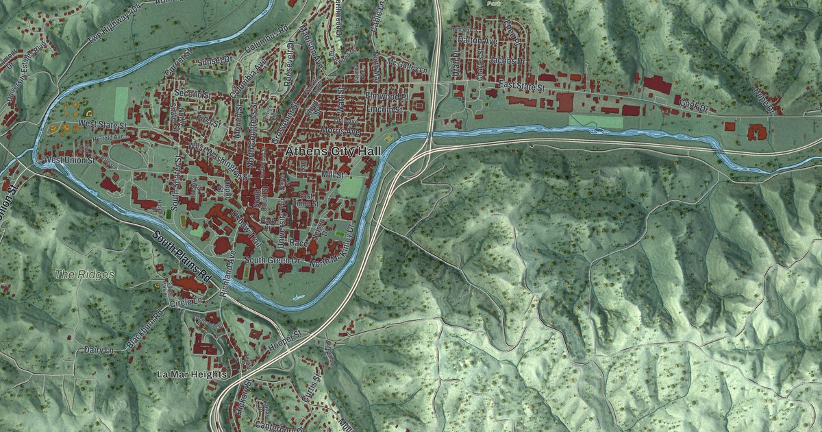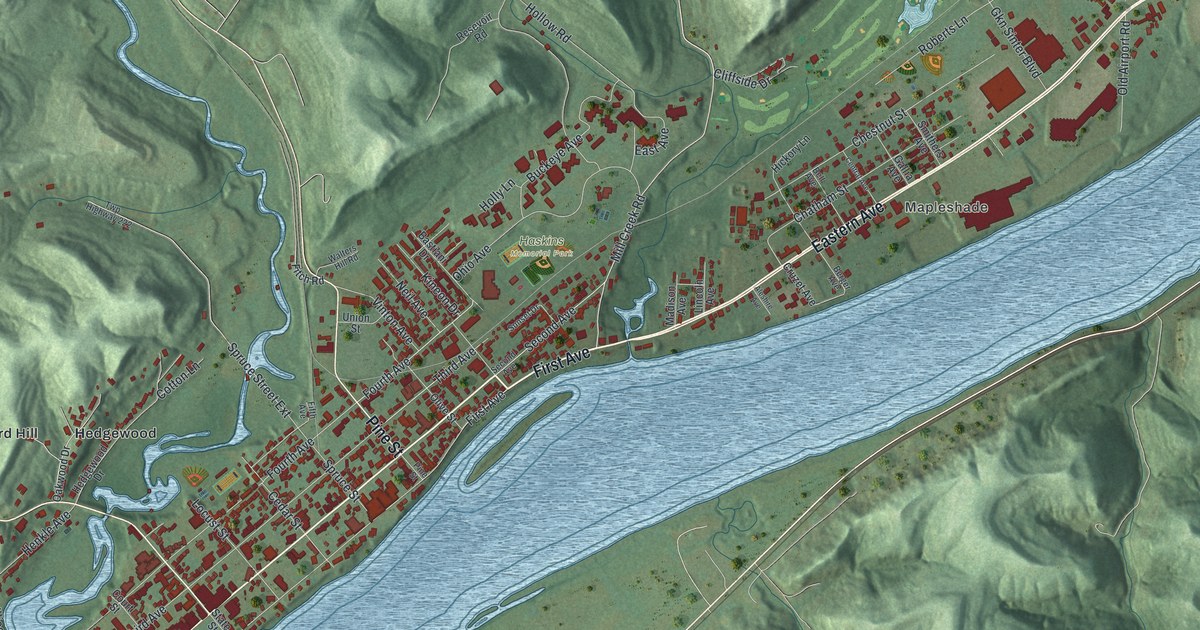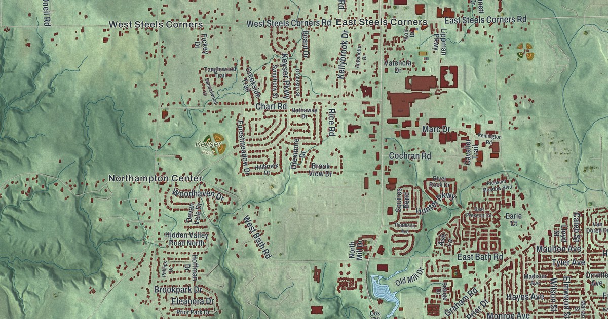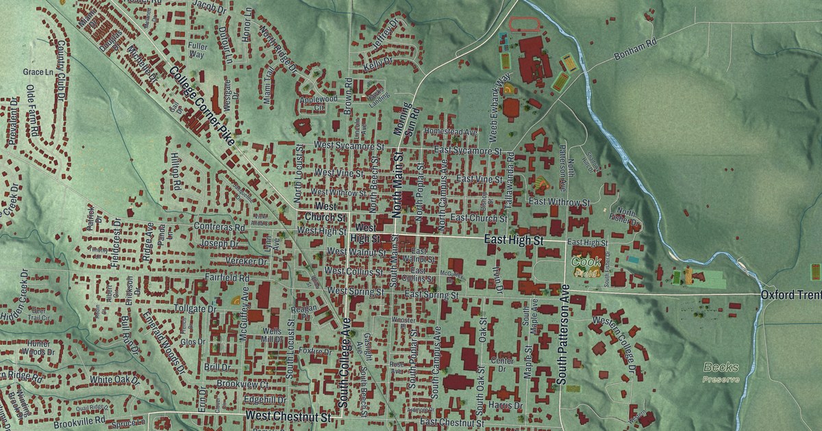
If you grew up in Steubenville, know Market Street downtown, or still have family in Pleasant Heights or Lincoln Heights, this map gives you plenty to find. It's a modern aerial view of Steubenville in Jefferson County, Ohio, made from modern data with a vintage look. The Ohio River bends down the right side in a wide blue band. From its bank, the city spreads west along the valleys into steep green hills. More than 10,000 buildings are drawn in red.
Dean Martin Boulevard, Market Street and Sunset Boulevard
Start at the Steubenville Municipal Building, printed downtown near the river. Dean Martin Boulevard runs along the water's edge here. It's also printed as the Ohio River Scenic Byway. Market Street and Washington Street head west from it through Pleasant Heights. Now follow Dean Martin Boulevard north to Jacksonville. From there, University Boulevard and Franklin Avenue run west into La Belle View. Brady Avenue leads on to Brady Estates.
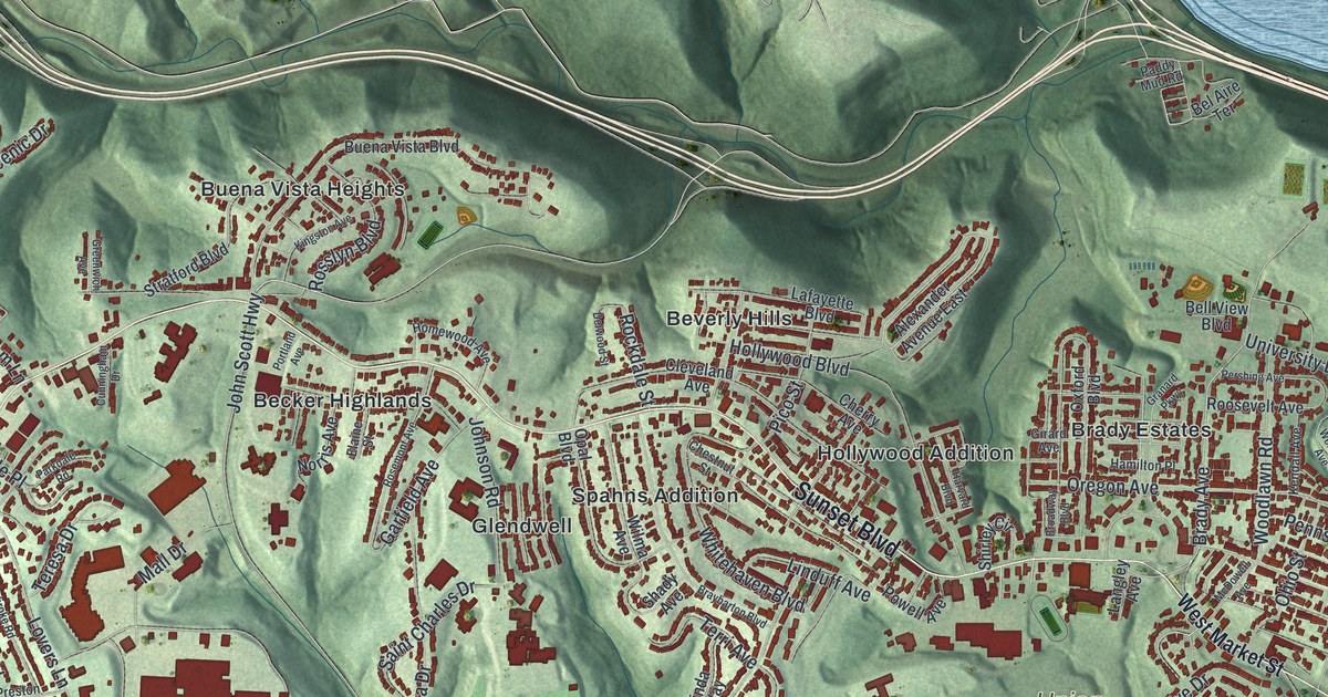
Back downtown, take Washington Street west until it meets Sunset Boulevard. Sunset is the long road across the middle of the sheet. On its way west it passes Hollywood Addition, Beverly Hills, Spahns Addition, Glendwell and Becker Highlands. Hollywood Boulevard and Pico Street cross near Beverly Hills. John Scott Highway turns north off Sunset toward Buena Vista Heights. South of Sunset, look for Union Cemetery. Farther down, Lawson Avenue runs past Beatty Park, close to Lincoln Heights and Fishersville. Many roads are labeled, and each red shape is a building, so zoom in on the preview and look for yours.
Dean Martin, born Dino Crocetti in Steubenville
Dean Martin was born Dino Crocetti in Steubenville in 1917. His parents were Italian immigrants. At 16 he went to work in the steel mills, and he boxed as "Kid Crochet." He started singing in 1941. In 1946 he teamed up with Jerry Lewis, and they worked together for ten years. His hits included "That's Amore," "Volare" and "Everybody Loves Somebody Sometime." He was in more than fifty films and had his own TV show from 1964 to 1970. His story is on an Ohio historical marker at the Steubenville Visitor Center on South Third Street. Across from the library on South Fourth Street, a steelworker statue honors the men and women who worked in the area's iron and steel mills. That work goes back as early as 1856.
Abraham Lincoln on Market Street in 1861
On February 14, 1861, Abraham Lincoln stopped in Steubenville by train on his way to becoming president. He spoke to a big crowd of Ohioans and Virginians from a platform at Market and High Streets. He talked about people on both sides of the Ohio River and their ties to the Constitution. Fifty-seven days later, the Civil War began. Nobody knew then that Edwin M. Stanton, born in Steubenville in 1814, would become Lincoln's Secretary of War. When Lincoln died in 1865, it was Stanton who said, "Now he belongs to the ages!" A statue of Stanton stands at the courthouse where Market Street meets North Third Street, and both streets are printed on the map.
For anyone who knows Market Street and the river
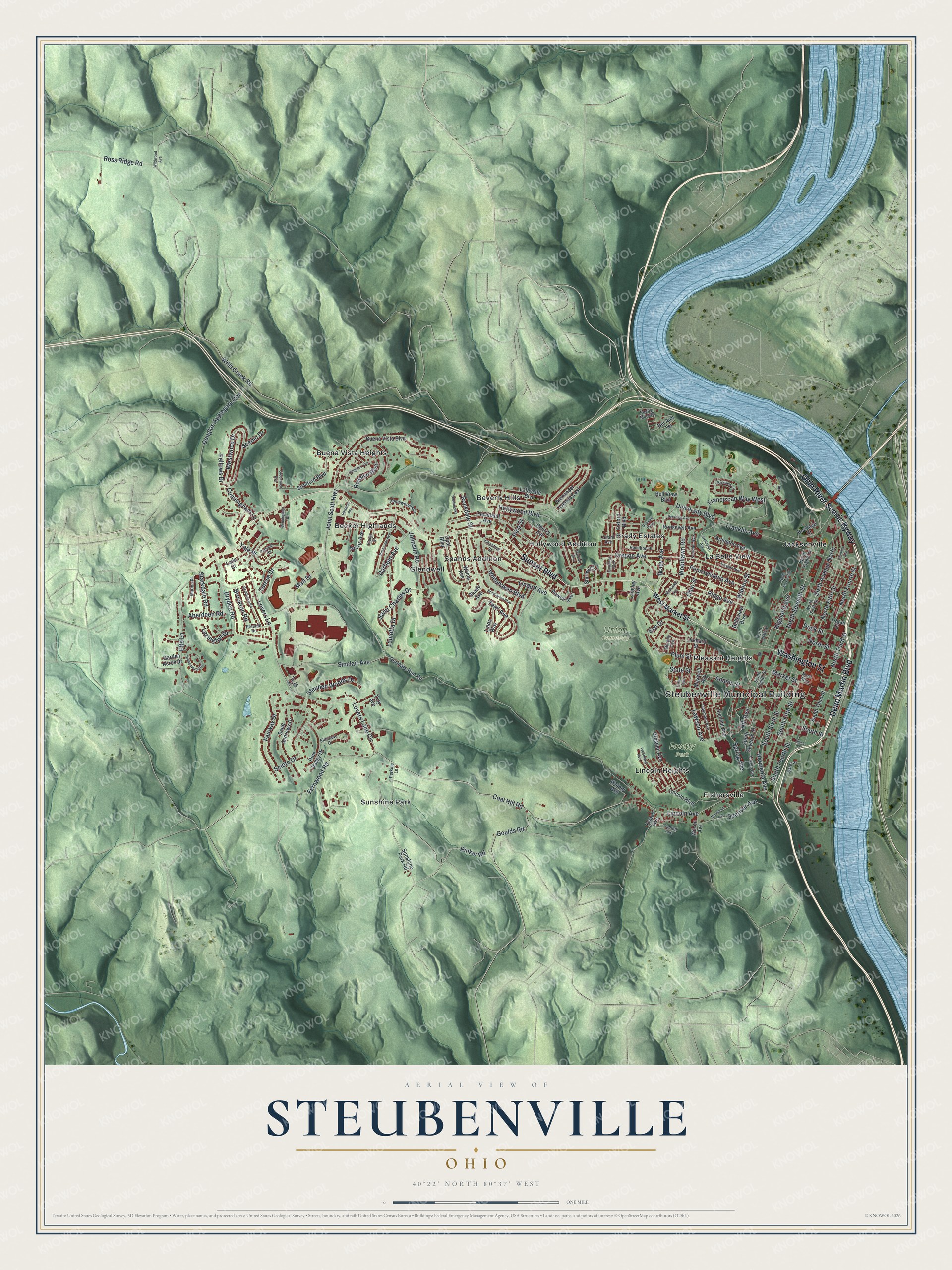
Created by KNOWOL in 2026, this Steubenville map shows the steep hills in shaded green from USGS elevation data. The streets come from Census Bureau records, and the buildings are drawn in deep red. The title panel reads "Aerial View of Steubenville, Ohio" with 40°22' North 80°37' West and a one-mile scale bar.
It suits a den, a kitchen or an office wall. It's a good gift for someone who grew up near Beatty Park, for a family with roots in the Ohio Valley mills, or for anyone who moved away from Steubenville. Open the preview, zoom in on Market Street and find a block you know. See sizes and frames for the Steubenville map.