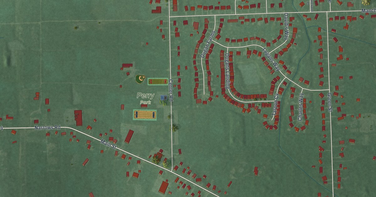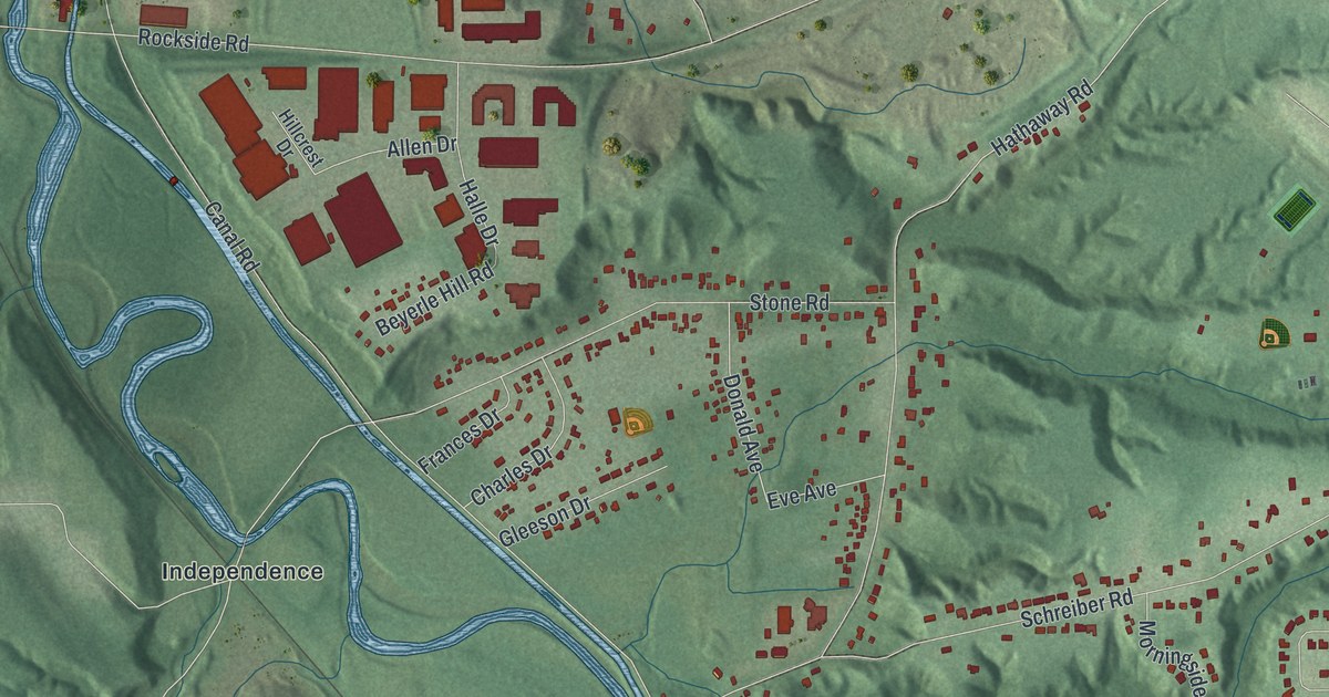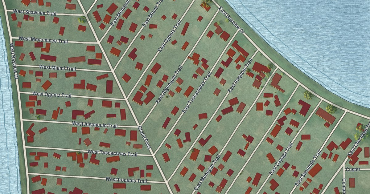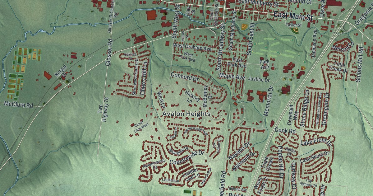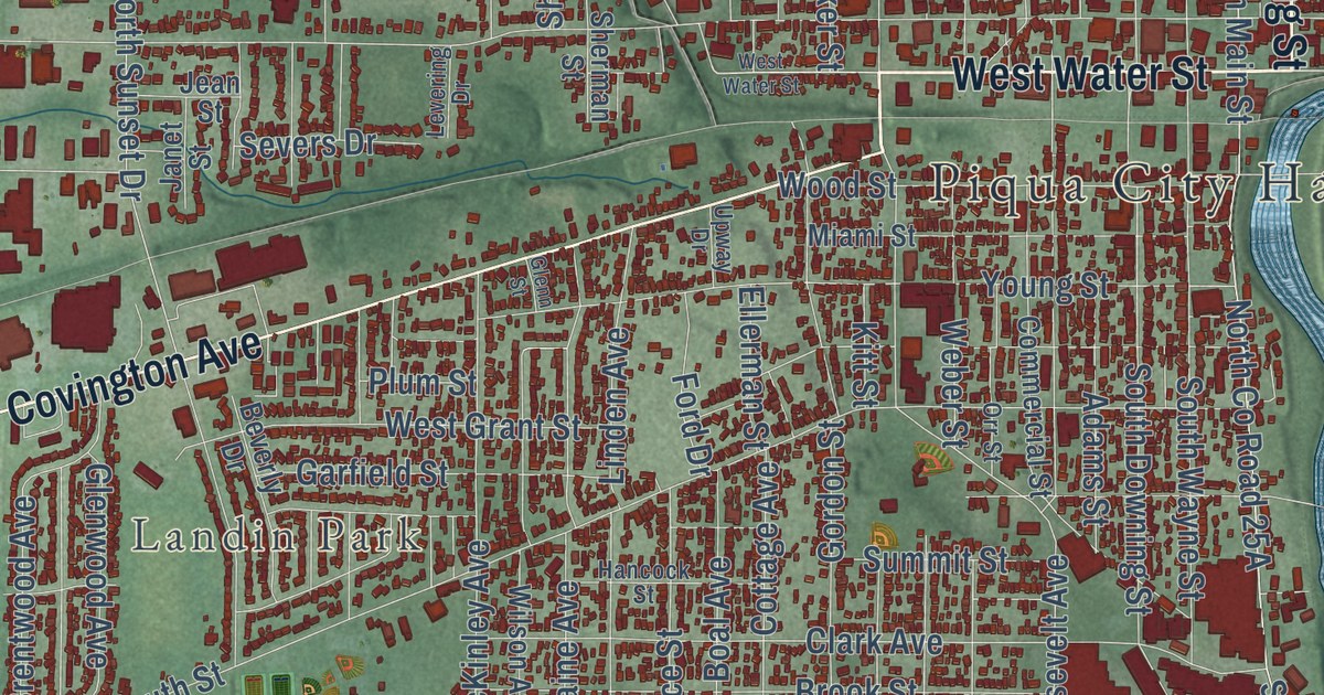
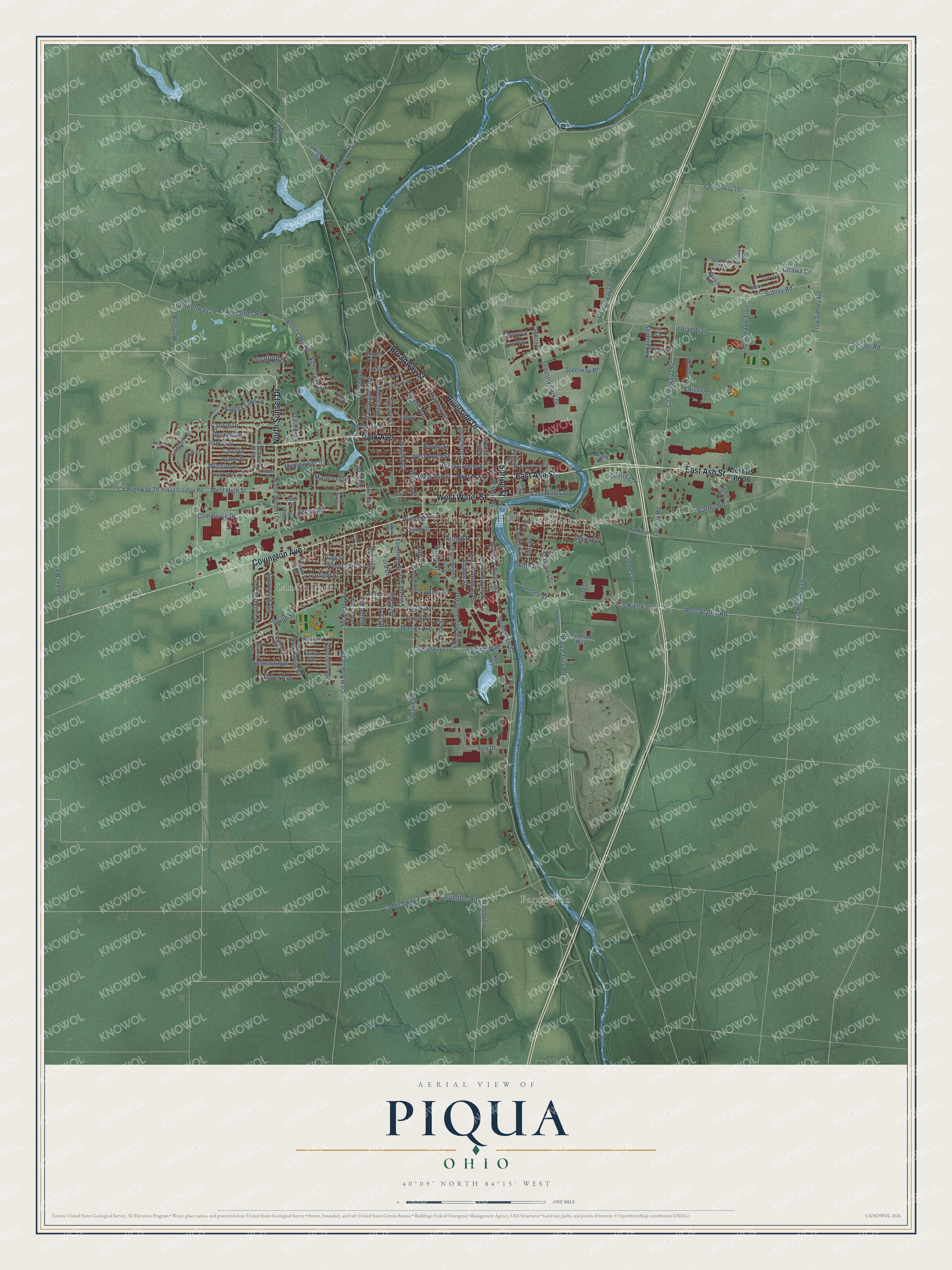
This beautifully detailed map of Piqua, Ohio was created in 2026 using aerial imagery combined with modern topographical, census, street and landmark data. It’s a one-of-a-kind view of Piqua that combines accurate data with a vintage aesthetic. The map shows every building in its true location, many of the roads carry their names, and the shaded topographic relief shows the shape of the land.
Explore an aerial view of Piqua, Ohio
On the map you’ll find Piqua City Hall, Farrington, Landin Park, and Hollow Park, along with Whitackers Court, Park Avenue, Broadway Street, Riverside Drive, Spring Street, West Water Street, West Ash Street, East Ash Street, and more. If you look closely you can even find your house accurately drawn in its correct location. Zoom in on the preview to look for yours.
Did you know this piece of Piqua, Ohio history?
John Randolph of Roanoke, a Virginia planter and senator, freed his slaves in his will of 1833. He left money to resettle them in Ohio. After a court challenge, 383 people gained freedom in 1846. Some founded Rossville, the region’s first free Black settlement, which is now in Piqua.
Take a closer look at the Piqua map
Street and place names on the Piqua, Ohio map
These names are printed on the map of Piqua, Ohio.
Places: Piqua City Hall, Farrington, Whitackers Court and Landin Park.
Streets and roads: Park Avenue, Broadway Street, Riverside Drive, West Water Street, Spring Street, East Ash Street, North Sunset Drive, Covington Avenue, East Water Street, North Main Street, Piqua-Troy Road, West Statler Road.
More street names, A to Z
Adams Street, Amherst Avenue, Bear Run, Beckert Drive, Beverly Drive, Blaine Avenue, Boal Avenue, Boone Street, Brentwood Avenue, Briarcliff Avenue, Brice Street, Britton Drive, Brook Street, Caldwell Street, Camp Street, Candlewood Boulevard, Career Drive, Carlyle Drive, Carol Drive, Centre Court, Cherokee, Cherry Street, Chevy Lane, Clark Avenue, Cleveland Street, Commerce Drive, Commercial Street, Cottage Avenue, County Highway 14, County Highway 15, County Highway 18, County Highway 28, County Highway 29, County Highway 31, County Highway 35, County Highway 36, County Highway 110, County Highway 115, County Highway 194, County Highway 197, Cromes Drive, Demming Road, Dover Avenue, Drake Road, Drexel Avenue, Dubois Drive, Eagles Lake Drive, East Greene Street, Echo Lake Drive, Echo Lake Road, Edison Drive, Ellerman Street, Elm Street, Fairfax Avenue, Farrington Road, Fifth Street, First Street, Fisk Street, Ford Drive, Forest Avenue, Fox Drive, Garbry Road, Garfield Street, Garnsey Street, Glenn Street, Glenwood Avenue, Gordon Street, Hancock Street, Harrison Street, Hemm Road, Indian Trail, Industry Park Drive, Janet Street, Jean Street, Jill Court, Kienle Drive, Kiowa Court, Kitt Street, Lake Street, Lambert Drive, Laura Drive, Lee Avenue, Levering Drive, Lincoln Street, Linden Avenue, Lindsey Street, Long Drive, Looney Road, Madison Avenue, Manier Avenue, Maplewood Drive, Marwood Drive, McKinley Avenue, Miami Street, Moffett Road, Navajo Trail, New Haven Road, Nicklin Avenue, North Parkway Drive, North Wayne Street, Ohio Street, Orchard Drive, Orr Street, Ottawa Circle, Patrizio Place, Piqua Clayton Road, Plum Street, Plymouth Avenue, Race Street, Scott Drive, Second Street, Seidel Parkway, Seminole Way, Severs Drive, Sherman Street, Sherry Drive, Short Drive, Sidney Road, Sioux Drive, Snyder Road, South Downing Street, South Main Street, South Roosevelt Avenue, South Street, South Wayne Street, Spiker Road, Statler Avenue, Staunton Street, Steelway Place, Stratford Drive, Summit Street, Sweetbriar Avenue, Third Street, Tomahawk Trail, Troy Sidney Road, Upway Drive, Van Way, Versailles Road, Vine Street, Virginia Street, Walker Street, Washington Avenue, Weber Street, West Ash Street, West Grant Street, West Greene Street, West High Street, West North Street, West Parkway Drive, West US Route 36, Westview Drive, Whitetail Lane, Wilshire Drive, Wilson Avenue, Windham Way, Wood Street, Young Street.
See the Piqua, Ohio map on a wall
The Piqua map as an 18 x 24 inch print in a black frame.

This beautifully detailed map of Piqua makes an attractive addition to your office, library, or den, and it can even be used to teach children the geography and history of the area. It also makes a great gift for someone who left Piqua and still calls it home. When you’re done exploring, click here to get your copy of the Piqua map.